
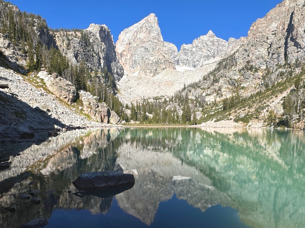
After seeing this gorgeous, milky turquoise lake on my Instagram feed a million times, I couldn’t get the idea out of my head that I needed to see it for myself.
We spent five days in Yellowstone + four days in the Tetons back in September for Ike’s birthday, so what better time to find out.
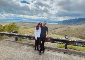
The day before, we’d taken our time to mosey around Grand Teton National Park to get our bearings. We knew that we needed to get a spot super-early the next morning in the Lupine Meadows trailhead parking lot and we’d heard that it’s not an easy feat. We drove the way there from our campsite, scoped out the parking lot itself, and turned around – crossing our fingers for the next morning.
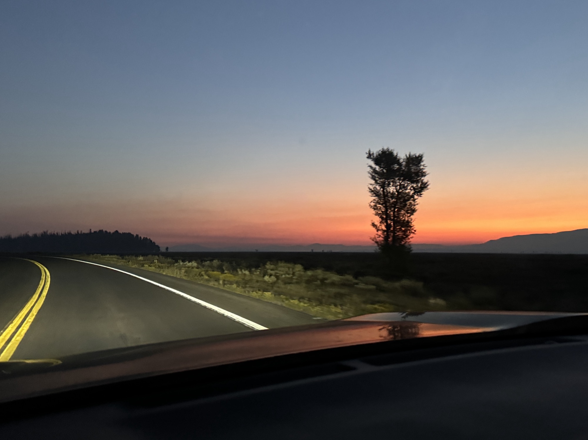
We were staying at Gros Ventre (grow-vahn) Campground, right down the road from Mormon Row but (surprising to me) actually outside of the park entrance gates. We woke up super early while you could still see the Milky Way and bee-lined to grab our spot while still dressed in our many layers of tent-camping pajamas.


We joined about a dozen cars in the parking lot already and realized that everyone was doing the same thing – trying to stay warm in the 35F morning temps, eating breakfast out of their trunks, and changing clothes in the passenger seat. Solidarity.
There’s one vault toilet at the trailhead which we all shared before departing on our way. It was so chilly.


You start at the Lupine Meadows trailhead and follow it all the way as if you were going to Surprise and Ampitheater Lakes. It’s a ~7.5 mile (felt like 100) hike with about 2,300 ft of elevation gain. The elevation of Delta Lake itself is about 9000 ft.
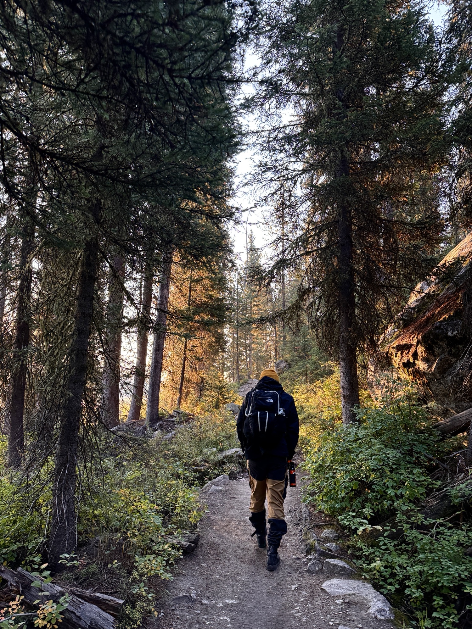
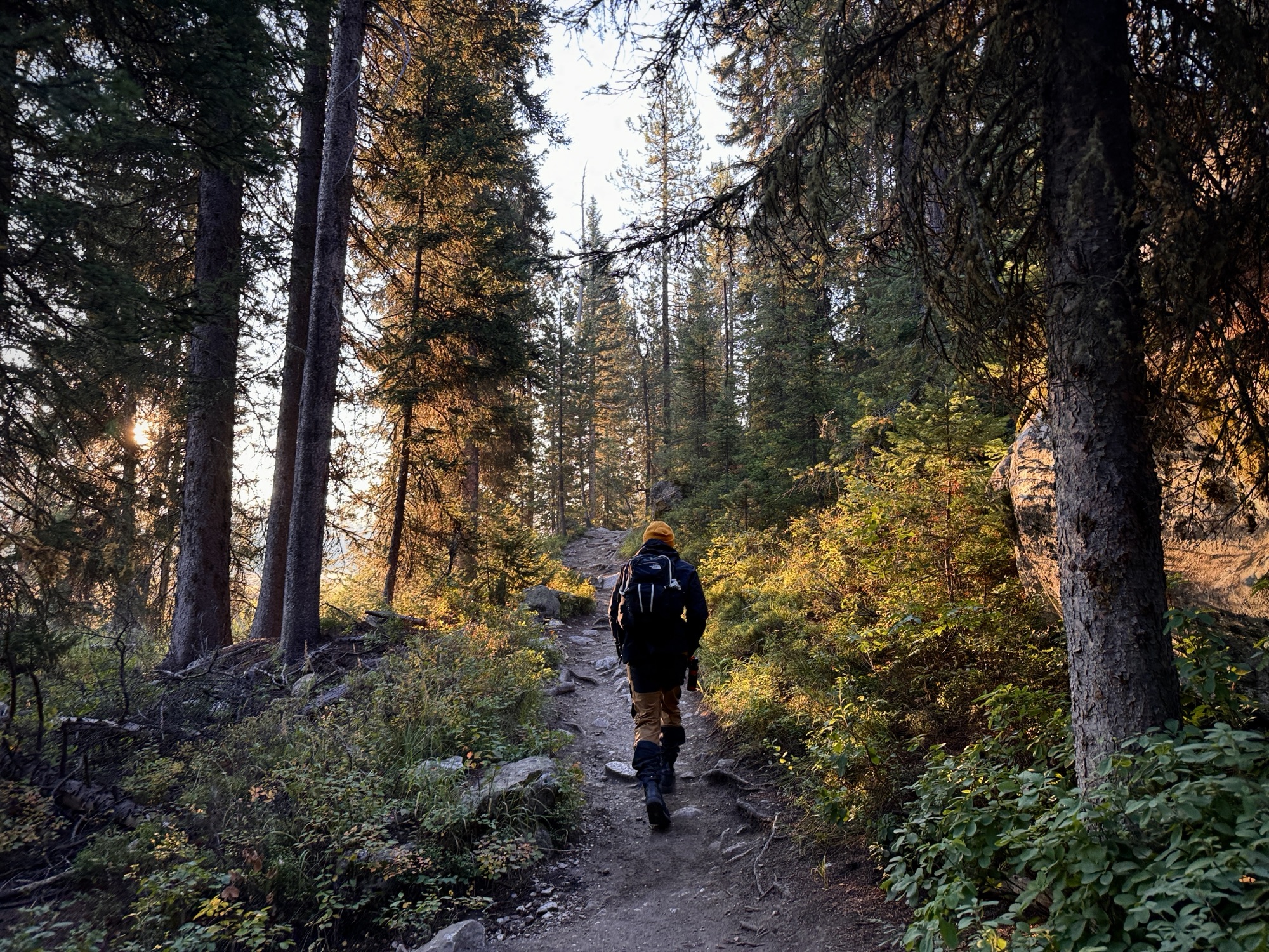
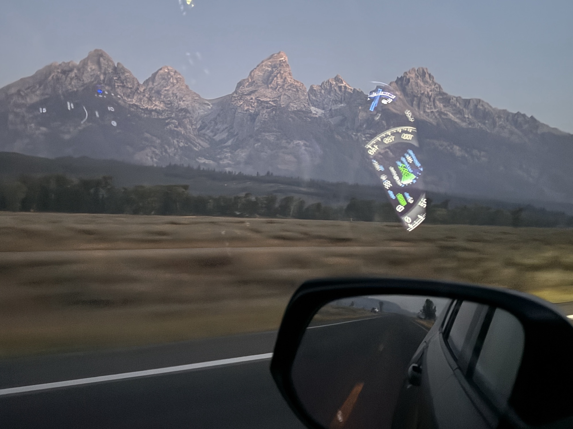
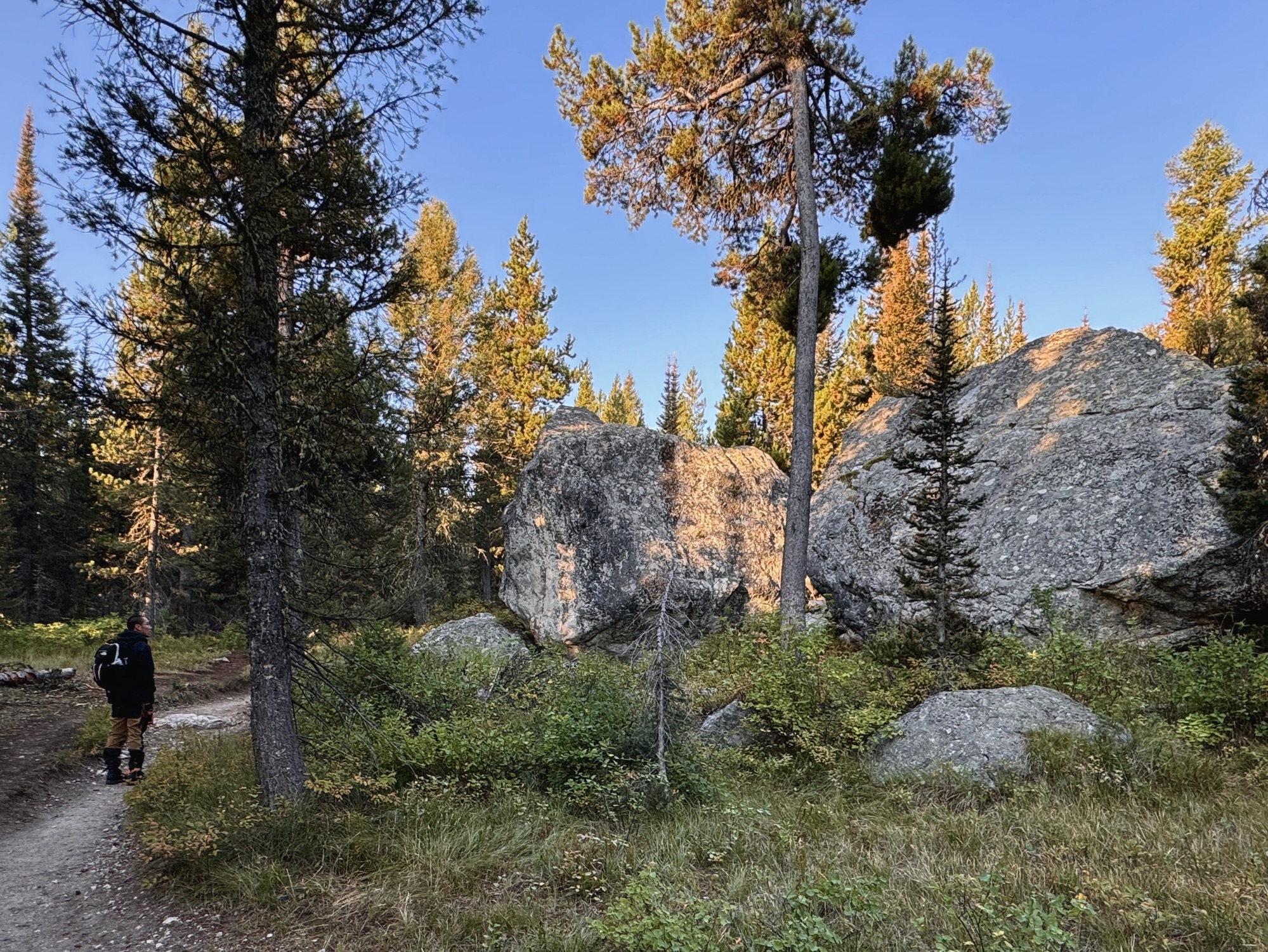
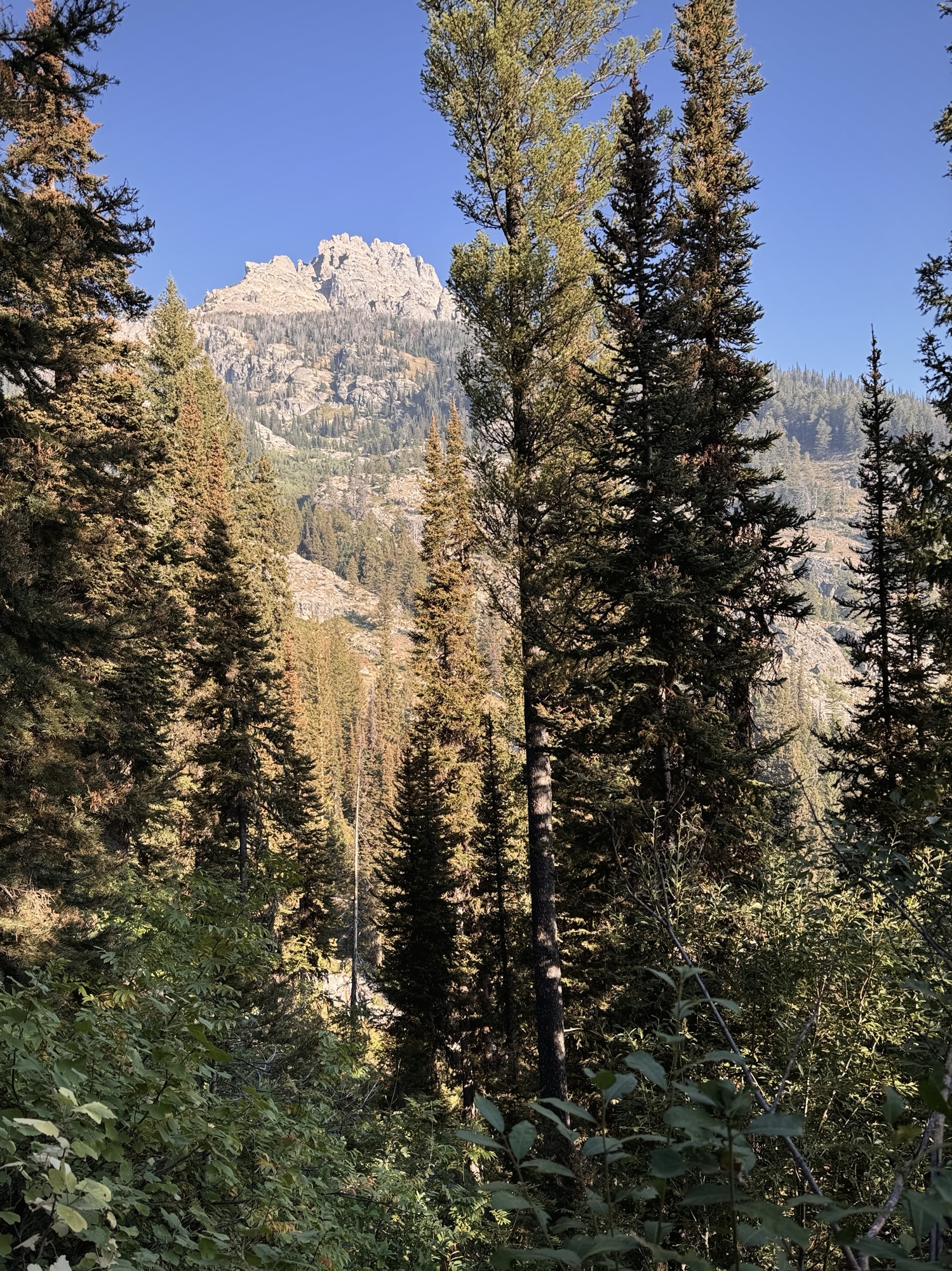
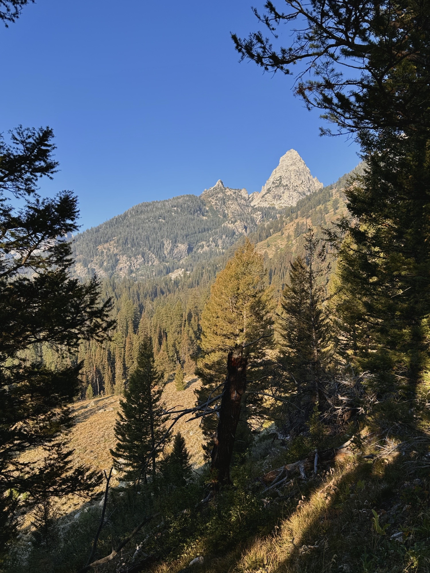
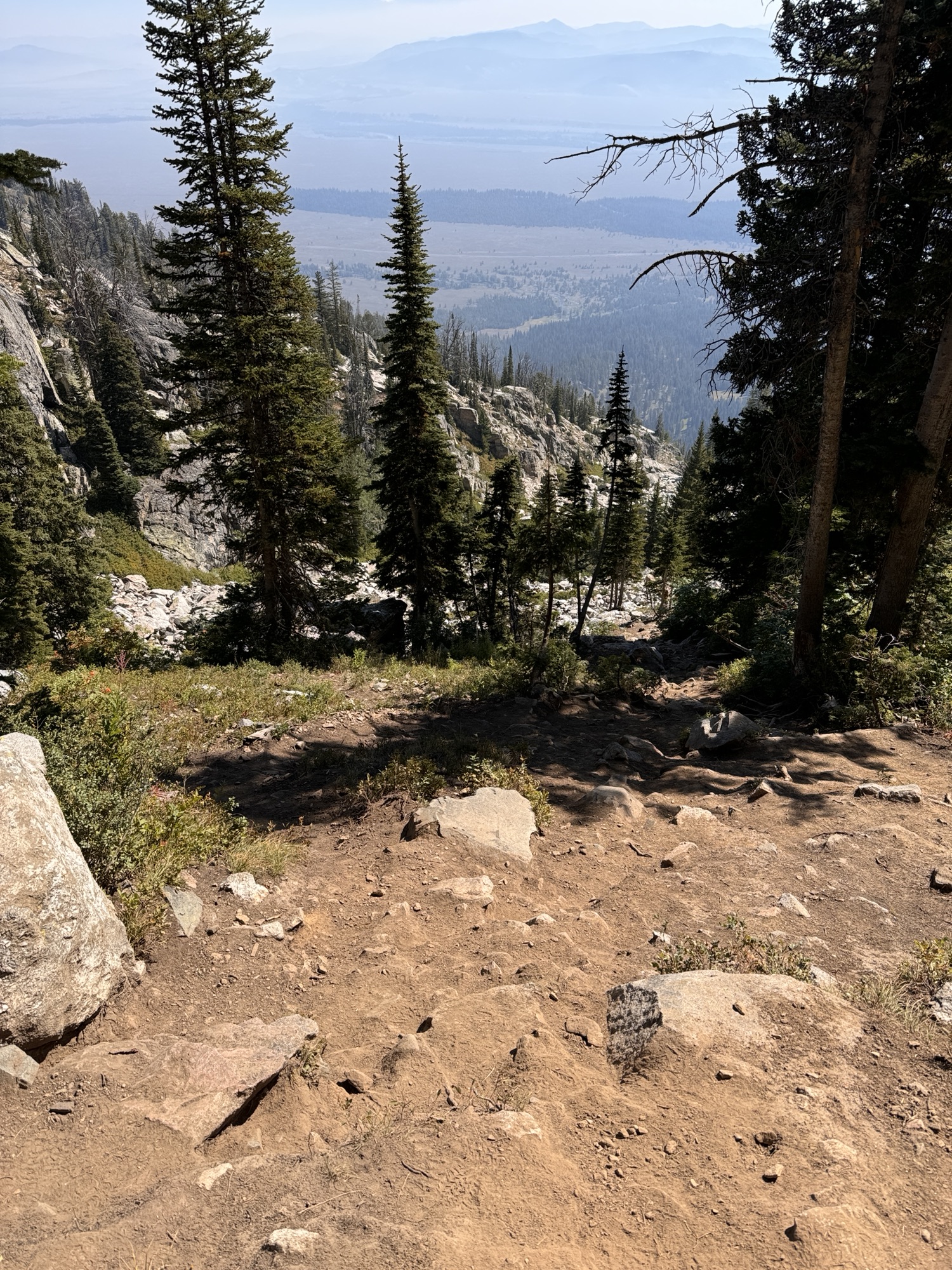
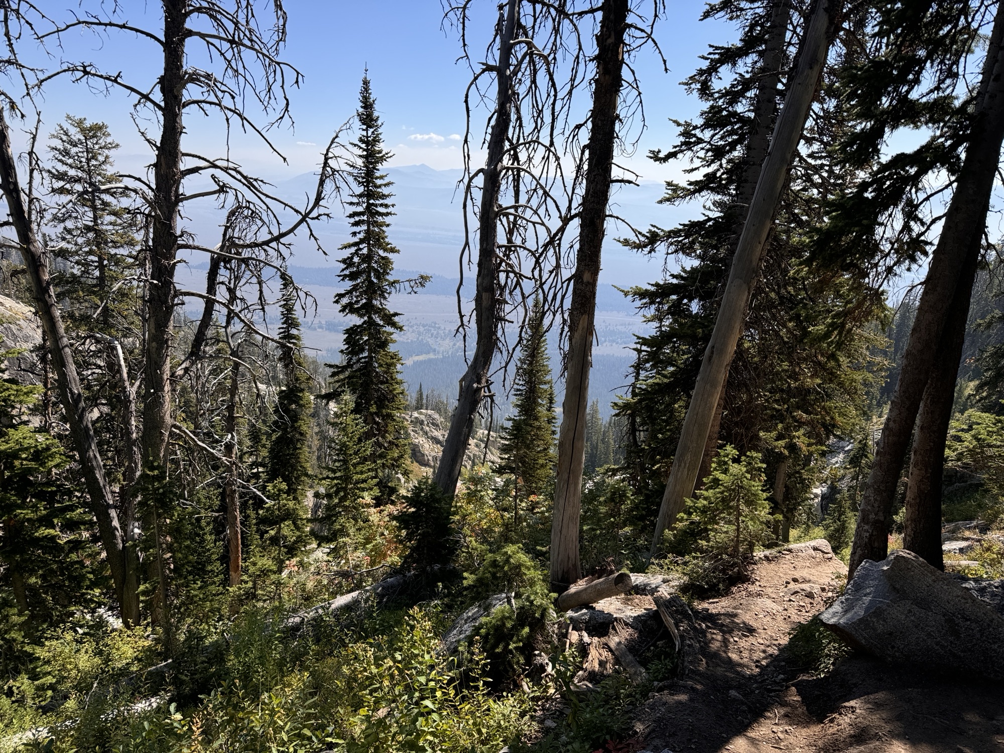
You start by walking through a dense pine forest and around some huuuge glacial boulders. Eventually, the Teton range starts to come into view through the trees.
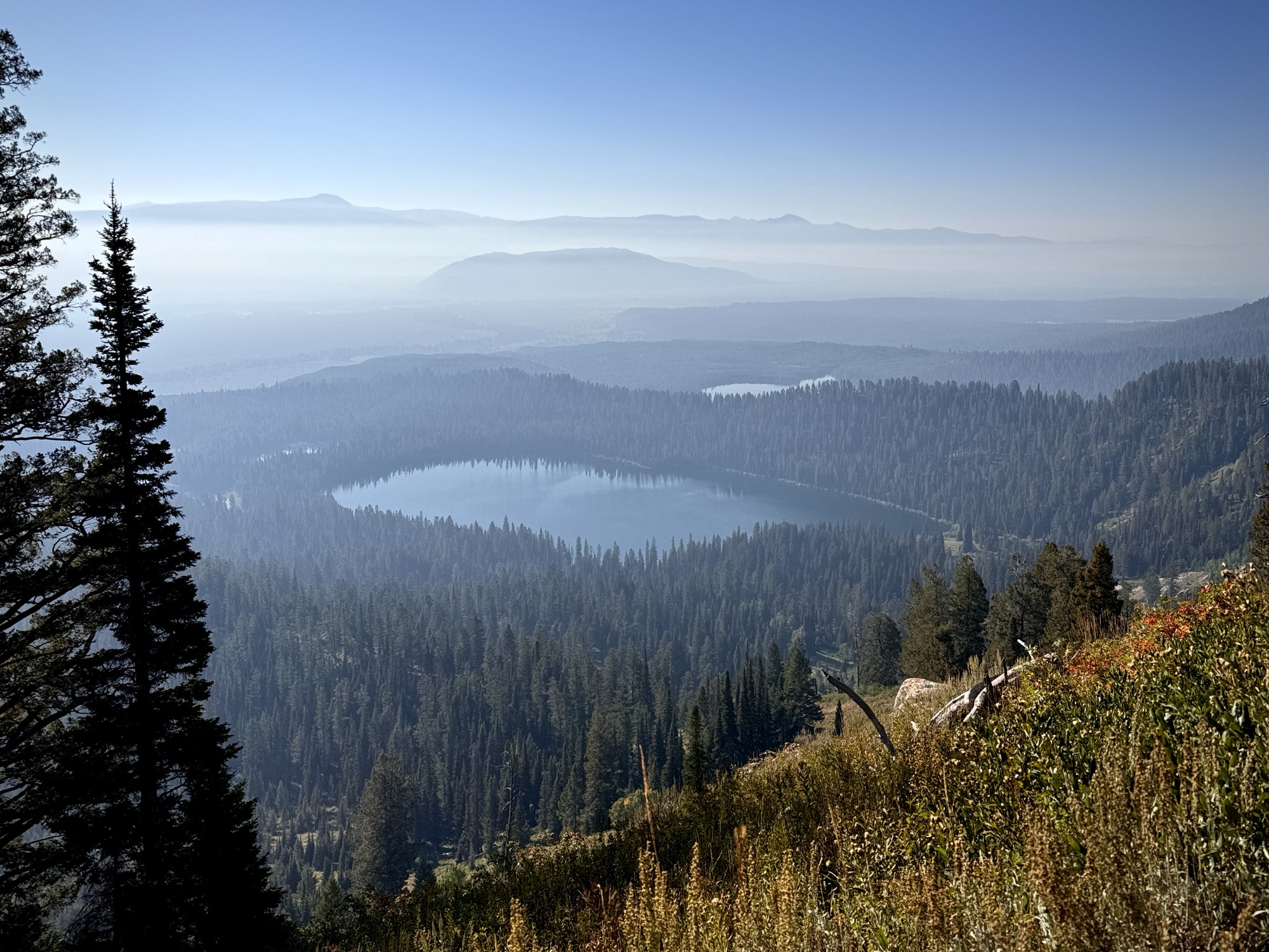
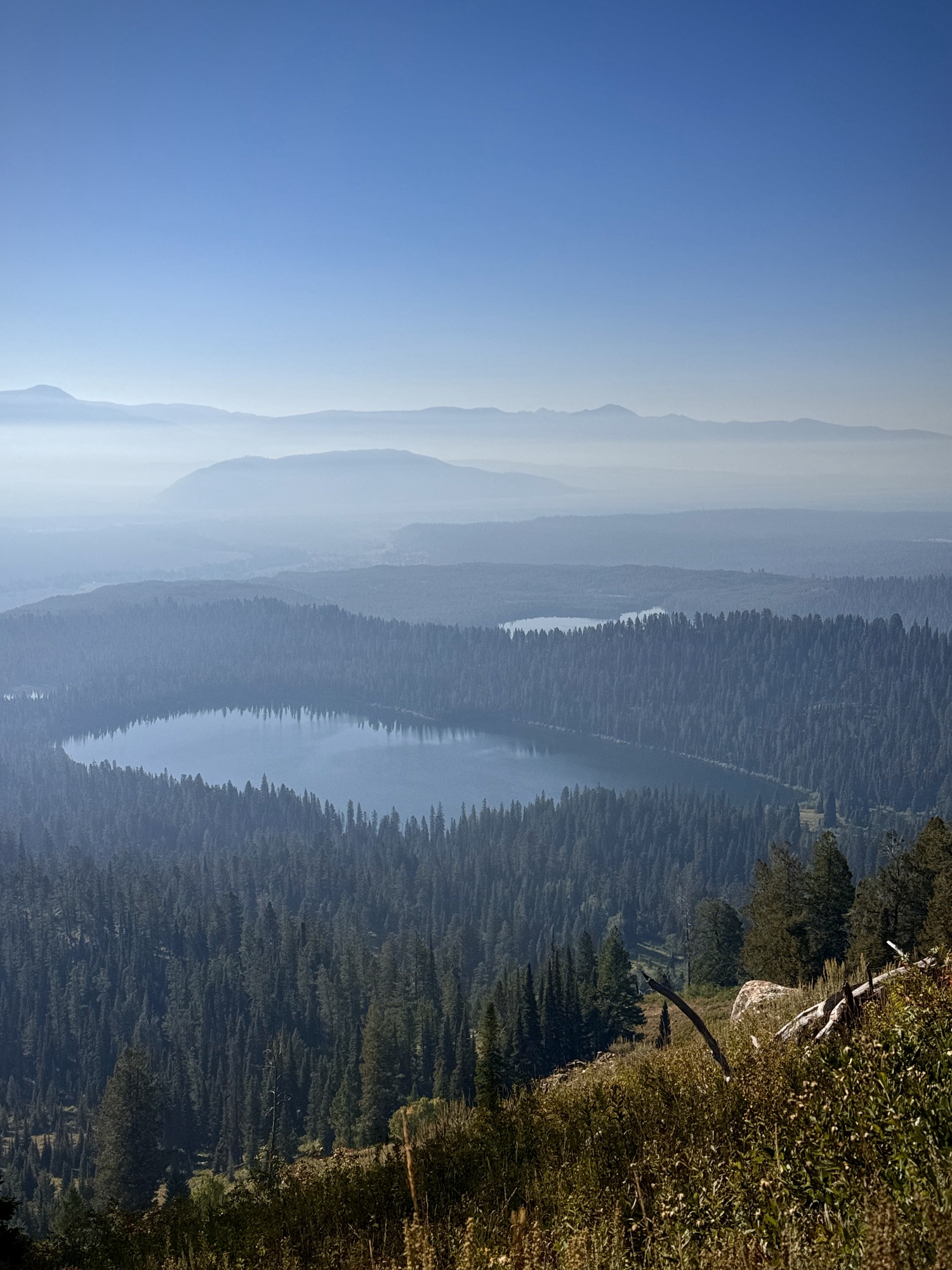
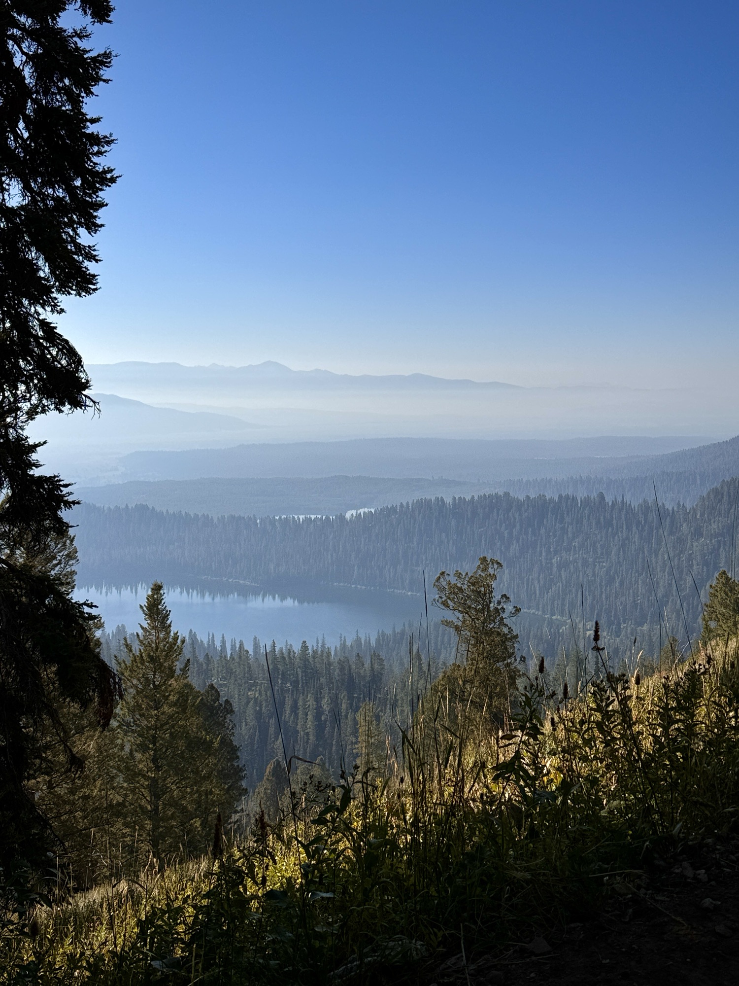
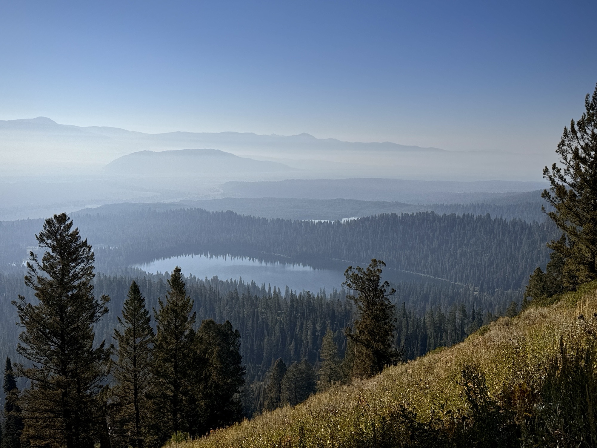
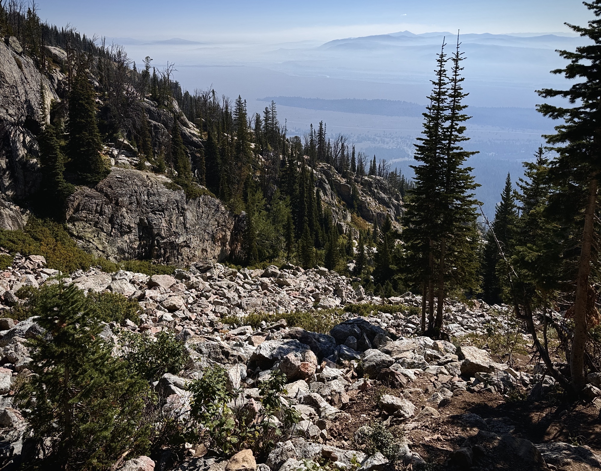
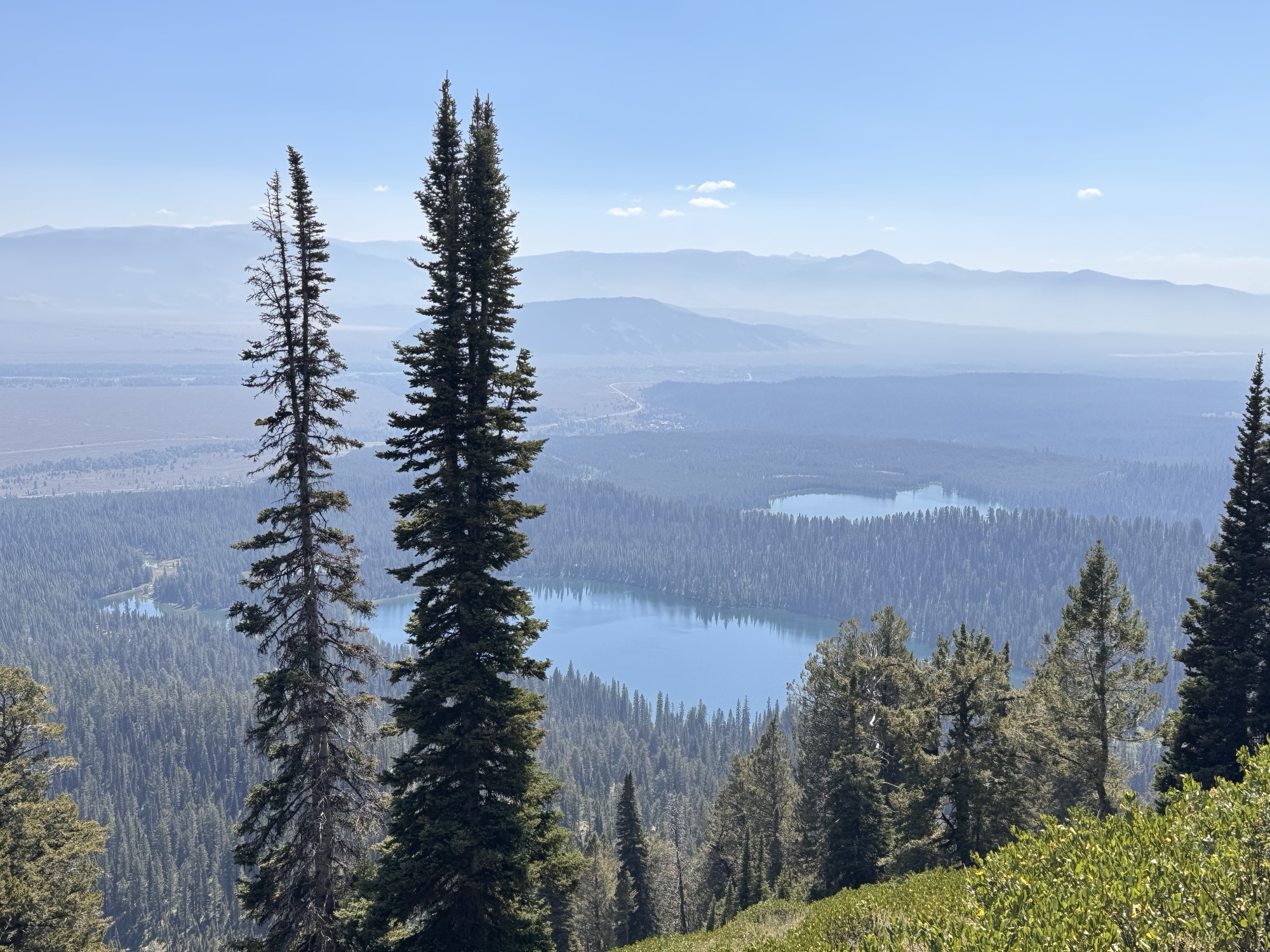
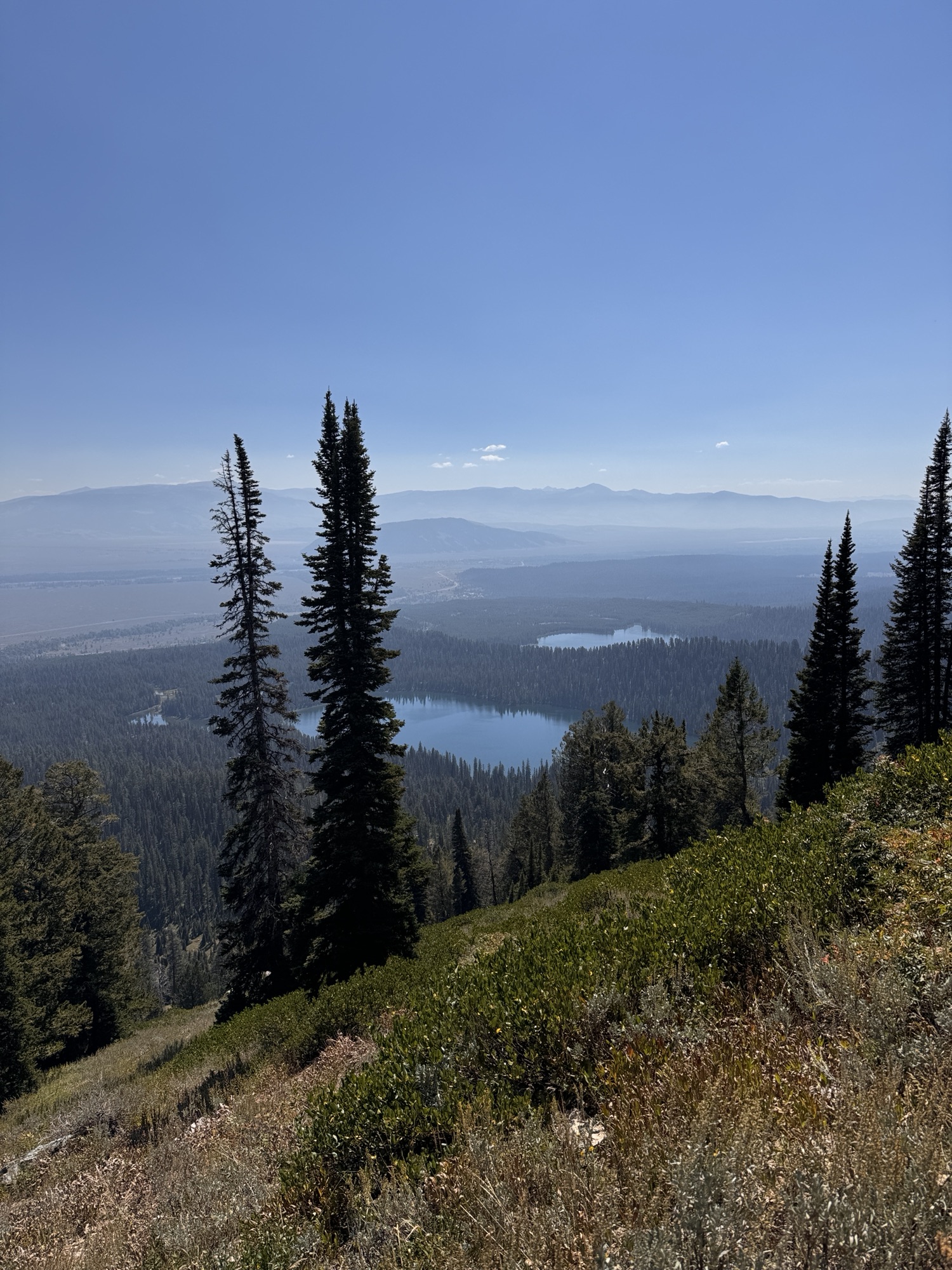
The higher you go, you get the prettiest view of Bradley and Taggart Lakes. It was SO smoky this morning because of a nearby fire that had multiplied overnight.
The AllTrails map for this is pretty good at directing you to the off-shoot for Delta Lake. After going up a bunch of tight switchbacks, there are stairs leading off to the right and off of the trail. It’s unmarked but, in hindsight, it was pretty obvious.
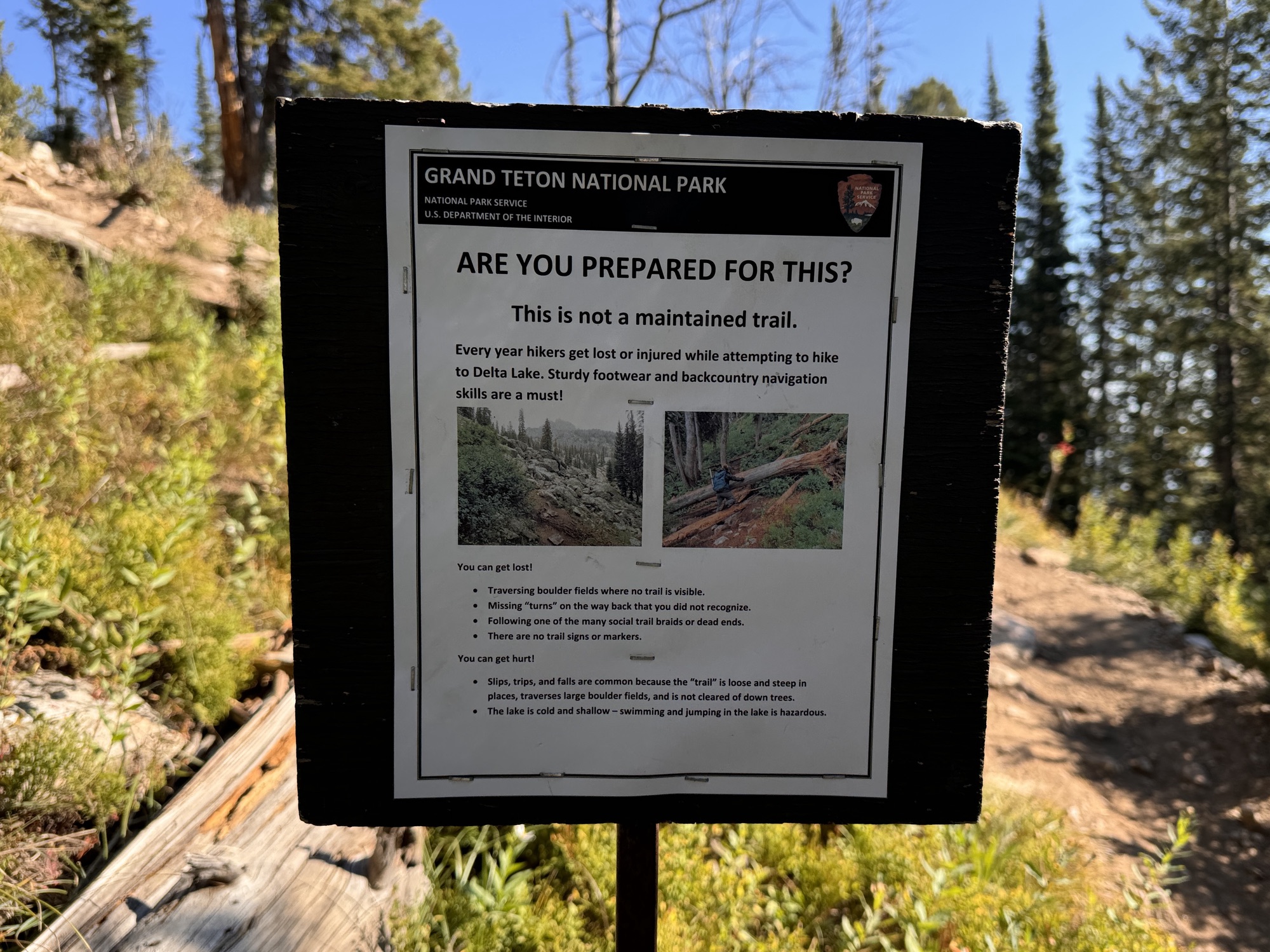
The stairs lead to a big ol’ log where you can chill next to this warning sign, then you’re on your way to the first boulder field.
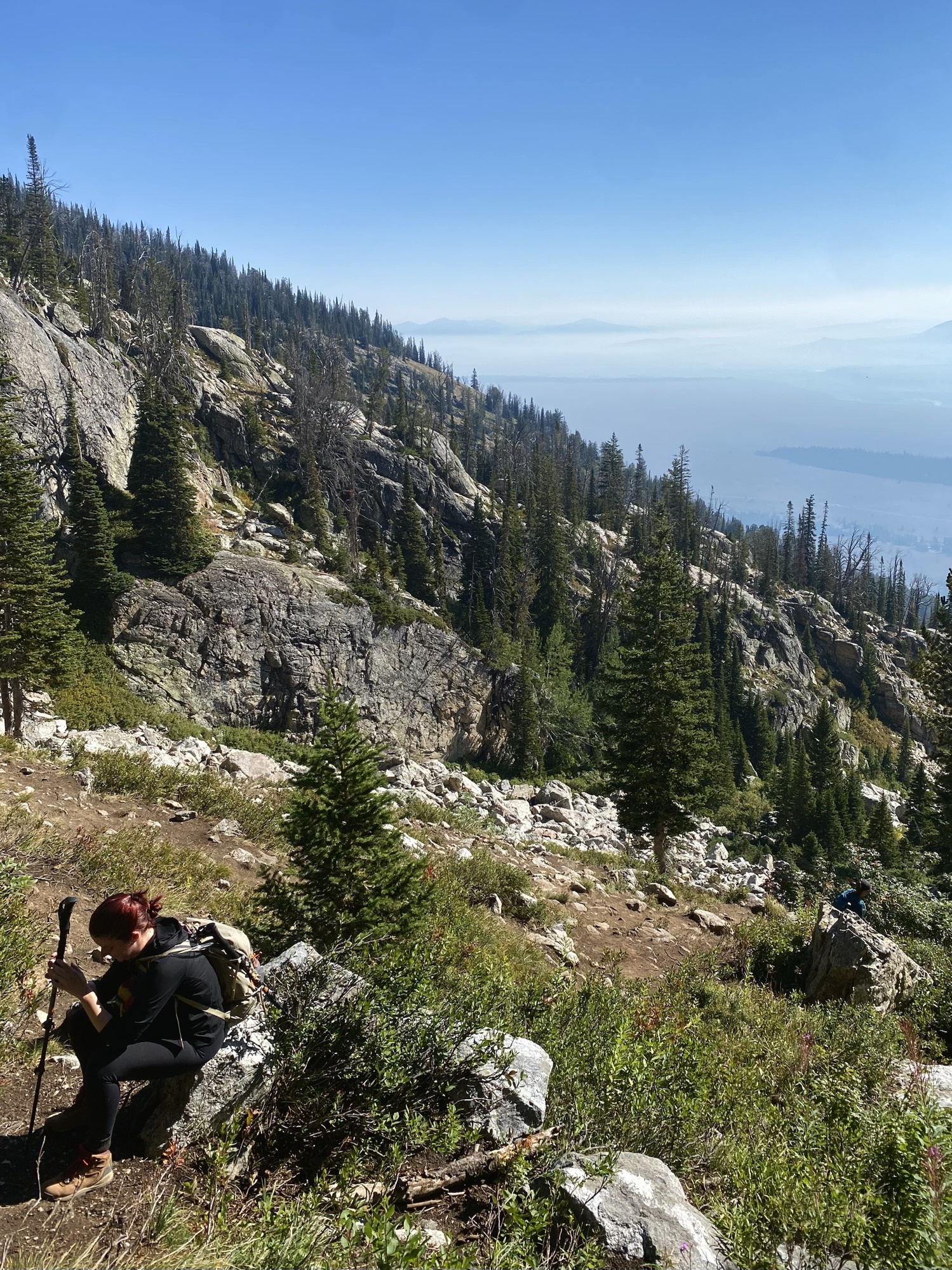
We weren’t super confident in the route we were taking, but that didn’t stop a group of four strangers from following us the entire way like we were their guides. At first, it kind of annoyed me and felt like it added pressure – but by the end of our shared trek, I was actually kind of attached to them.
I took no photos during this, until getting to the very top to take it all in – and that’s because boulder fields and shaky rocks are the most annoying thing in the world to me, and my ankles are always threatening to roll.
I will say, one thing that makes me feel better about this is how Ike loooveees them and treats them like a jungle gym.

This is the view from the path right after completing the boulders. Now, you’re going up on dirt at a 60 degree angle haha. You can see the top from here, and you just half-crawl all the way up.
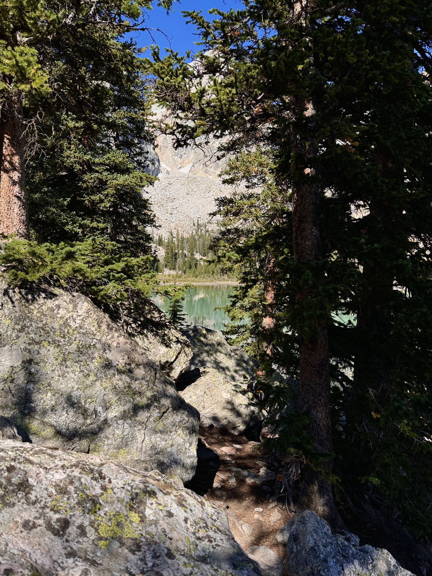
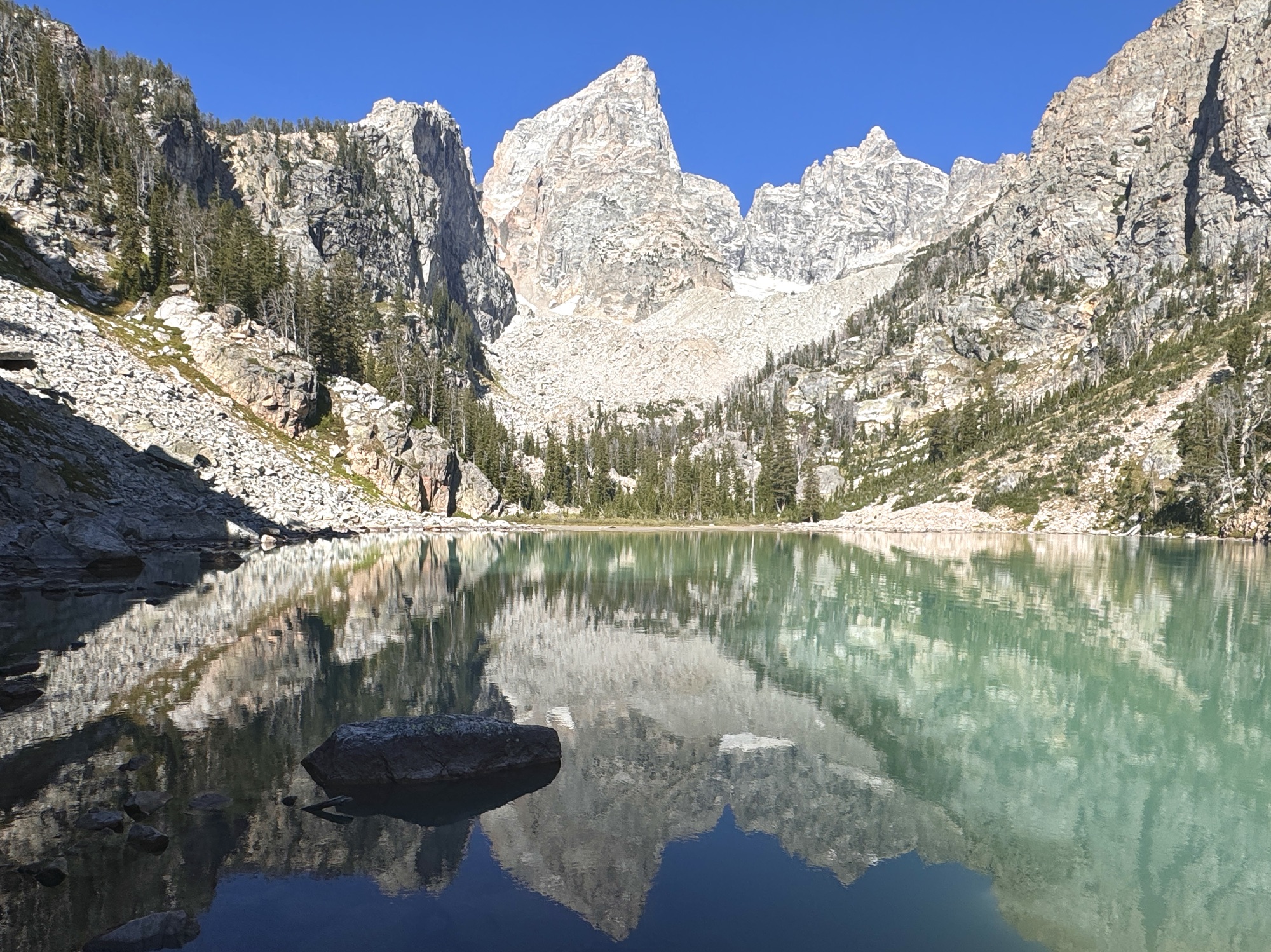
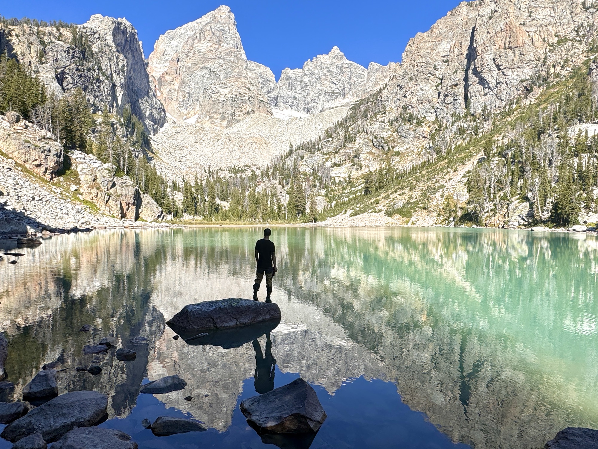
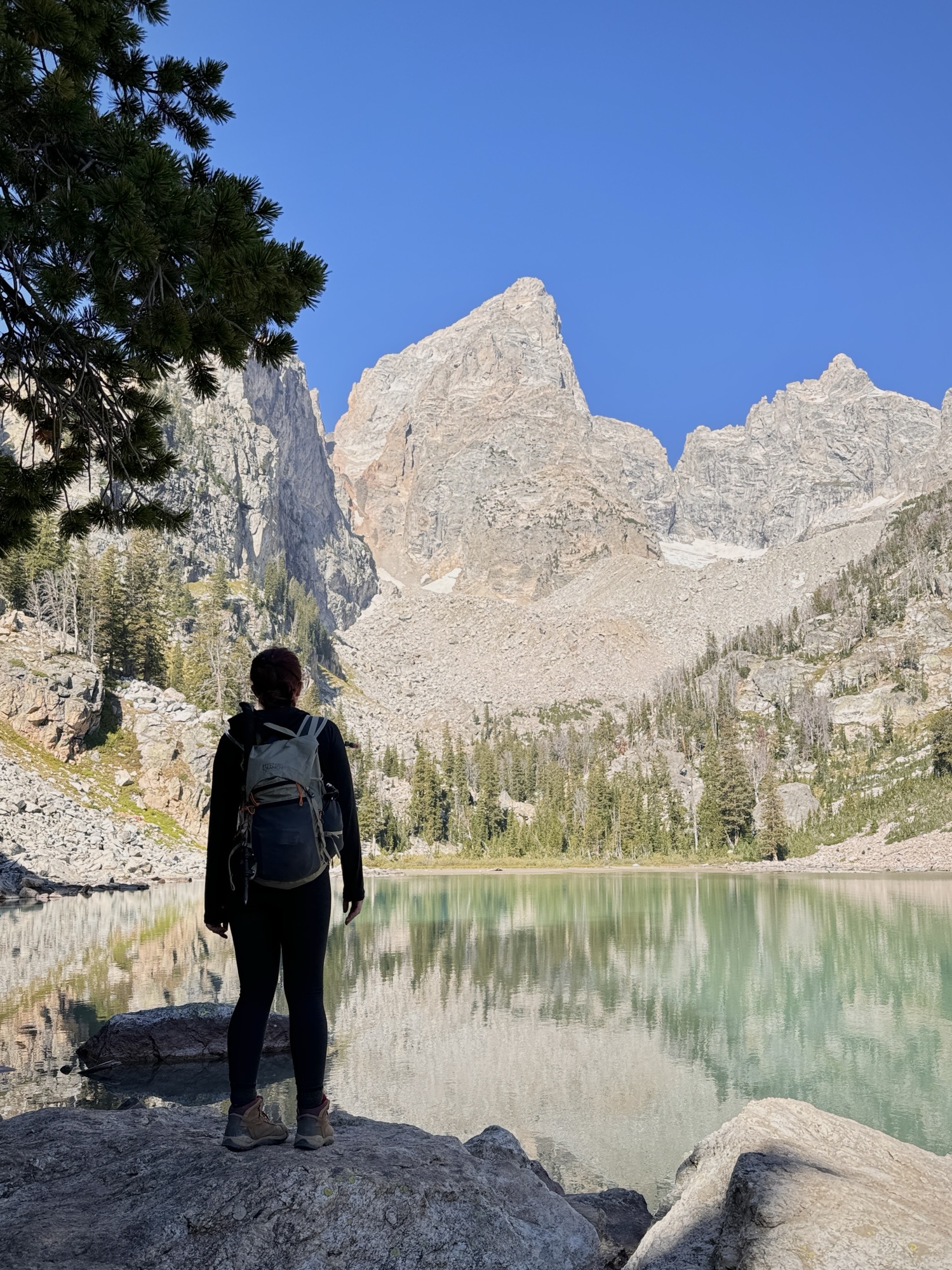
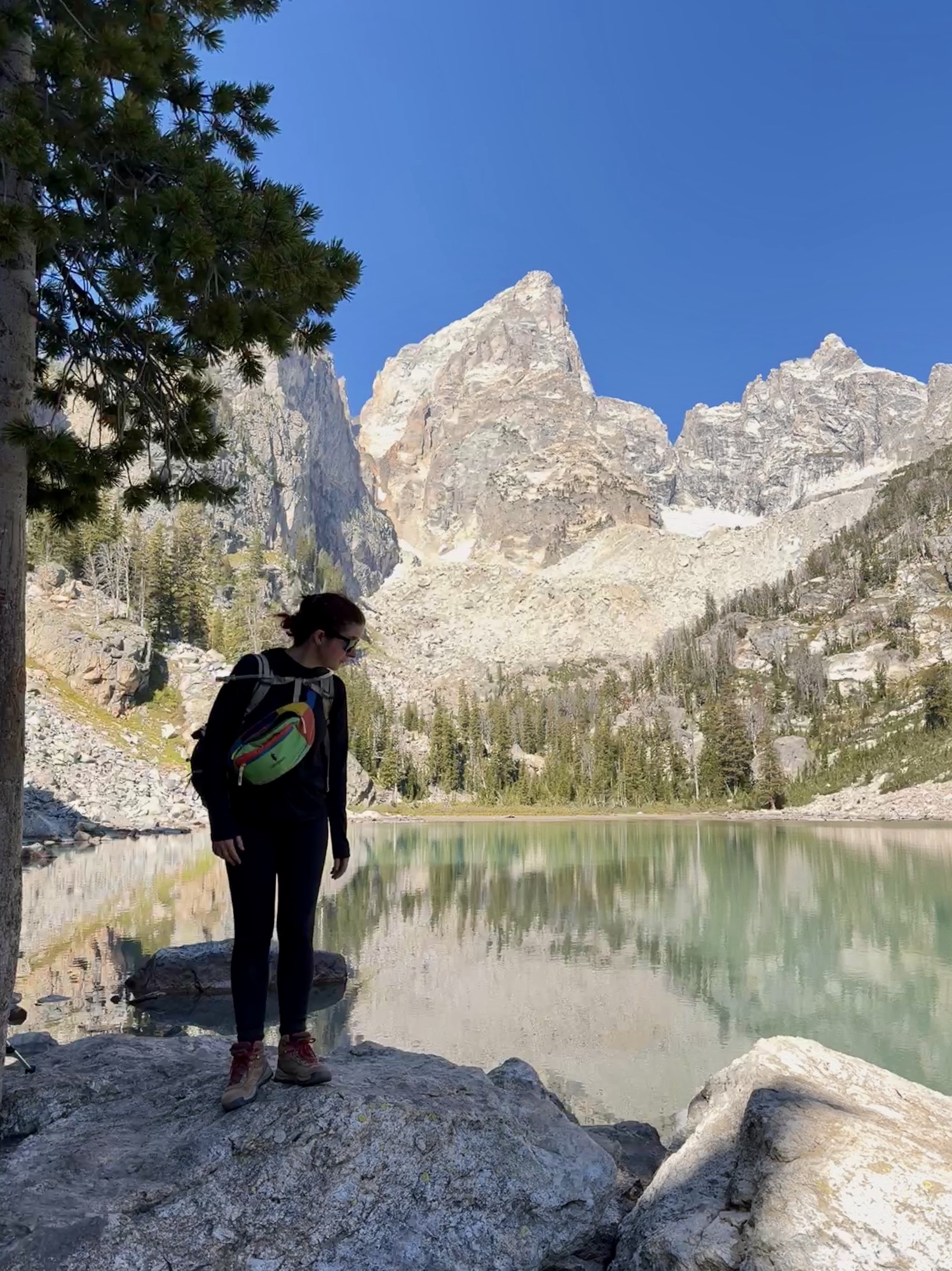
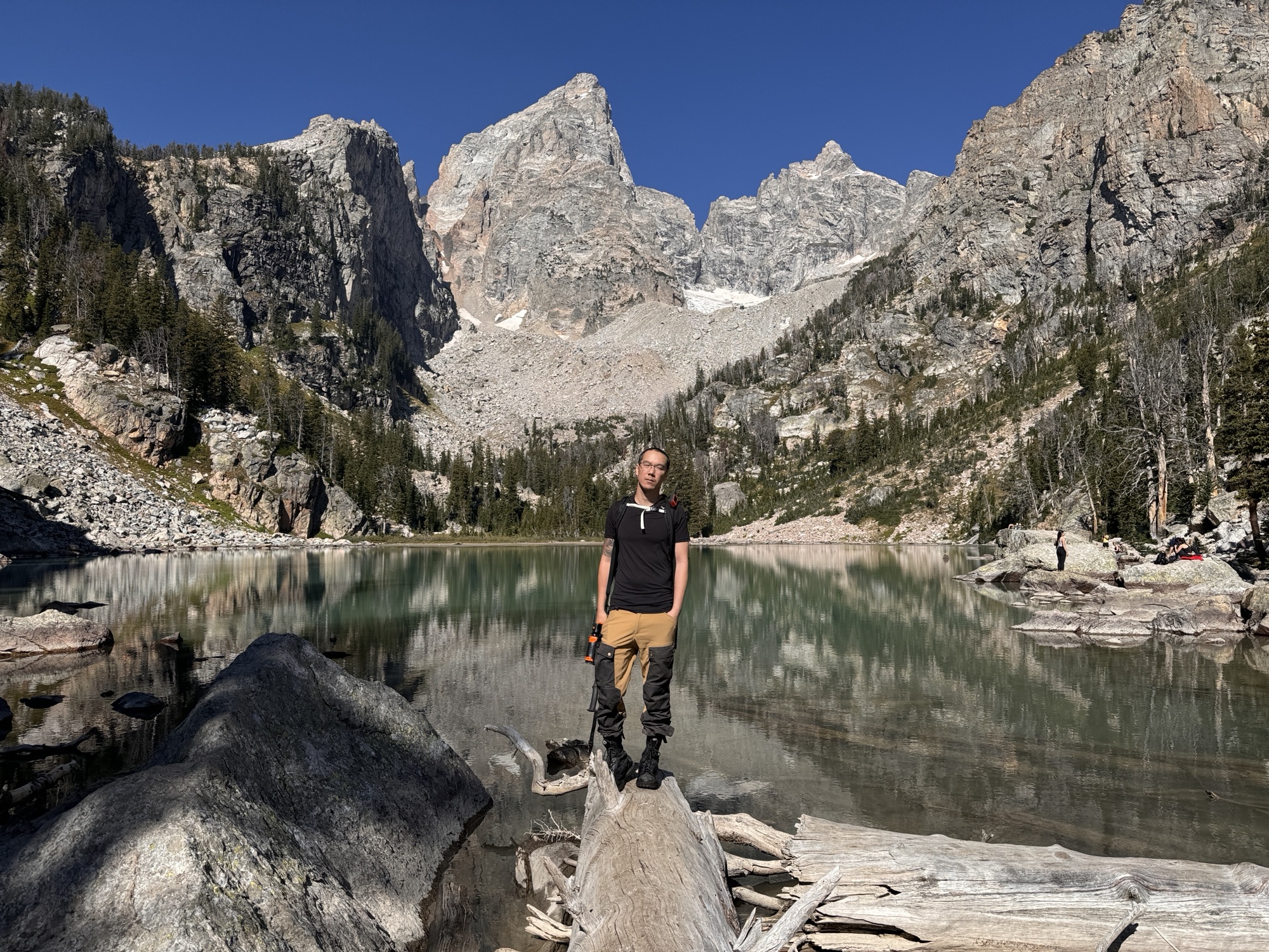
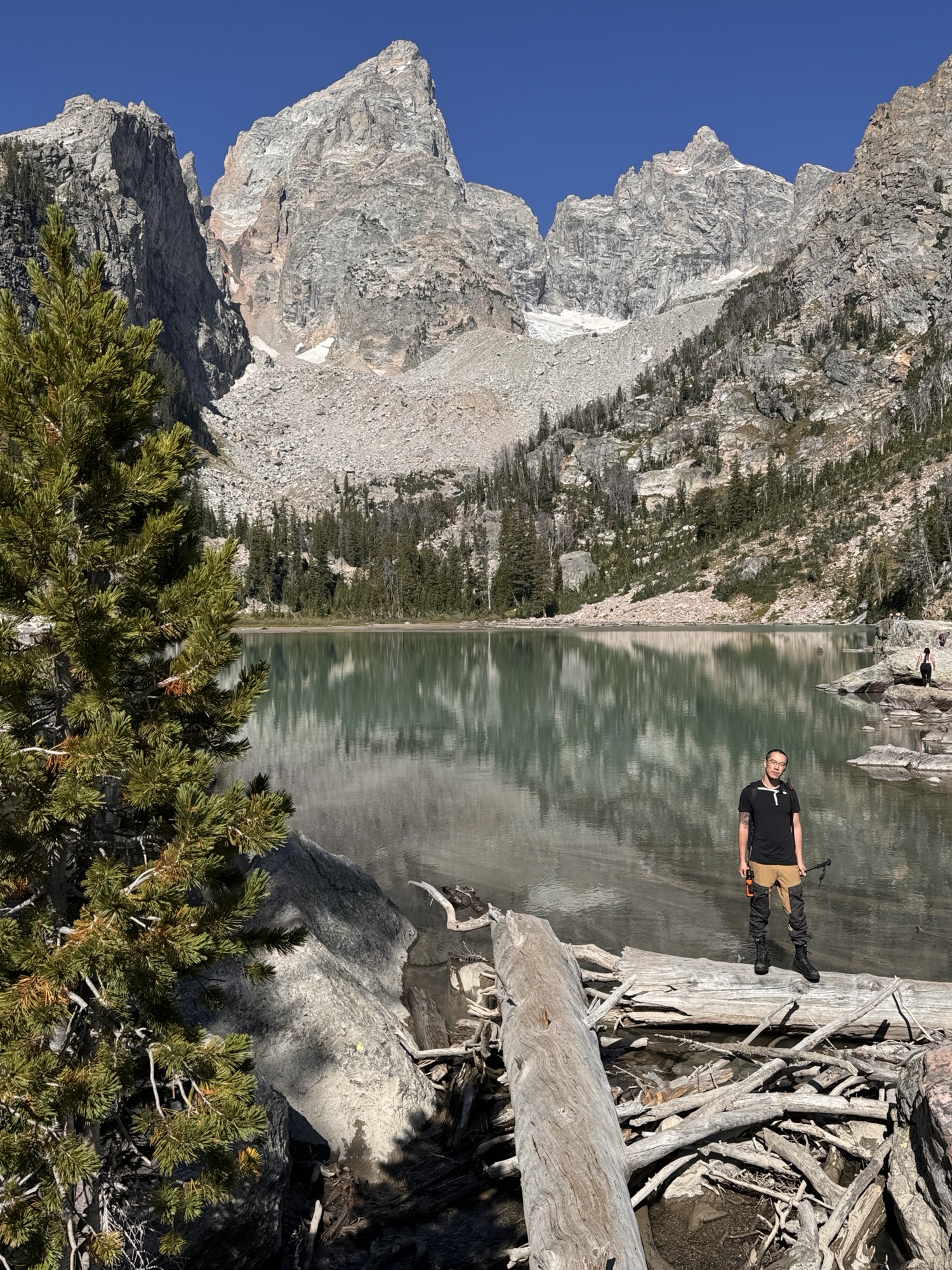
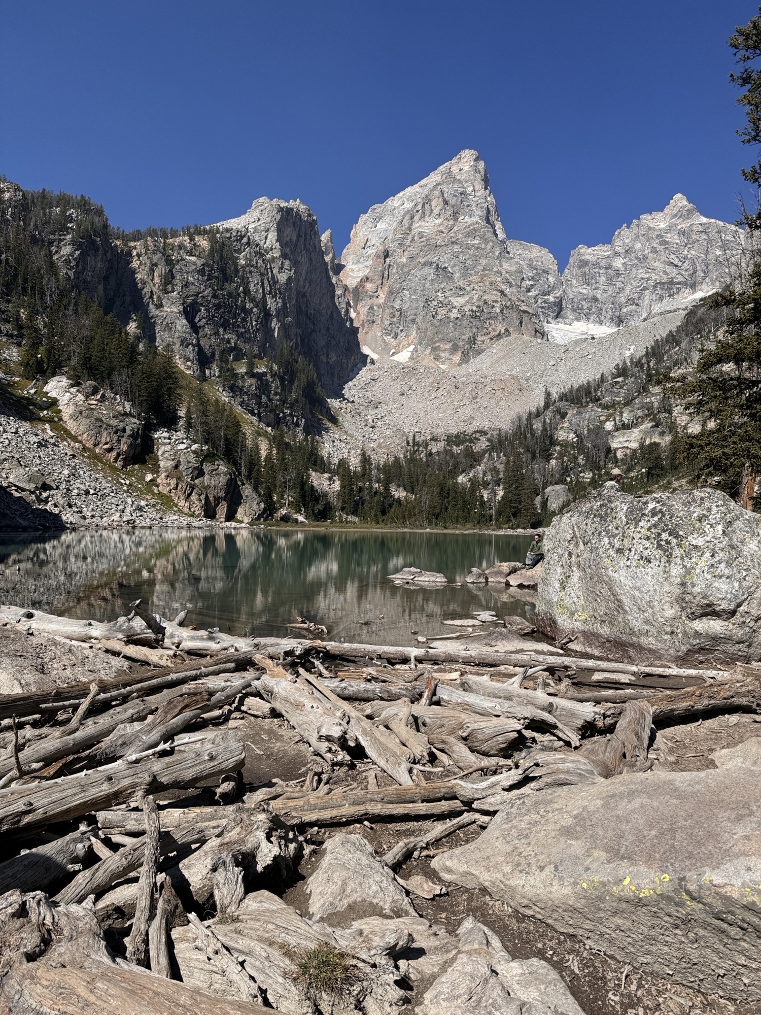
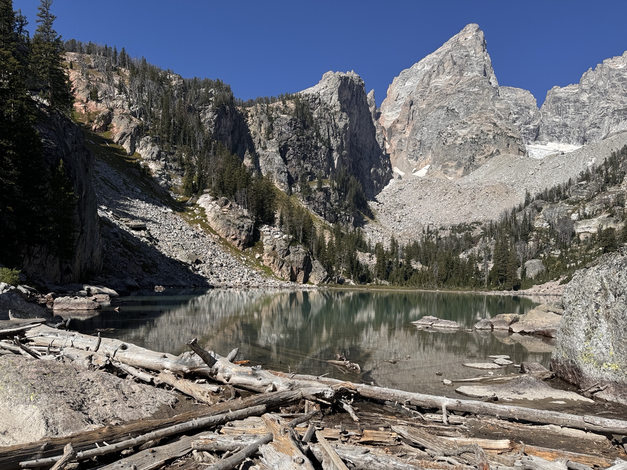
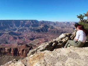
Almost immediately, you see the lake peaking from behind the trees and you forget how painful it was to get there.


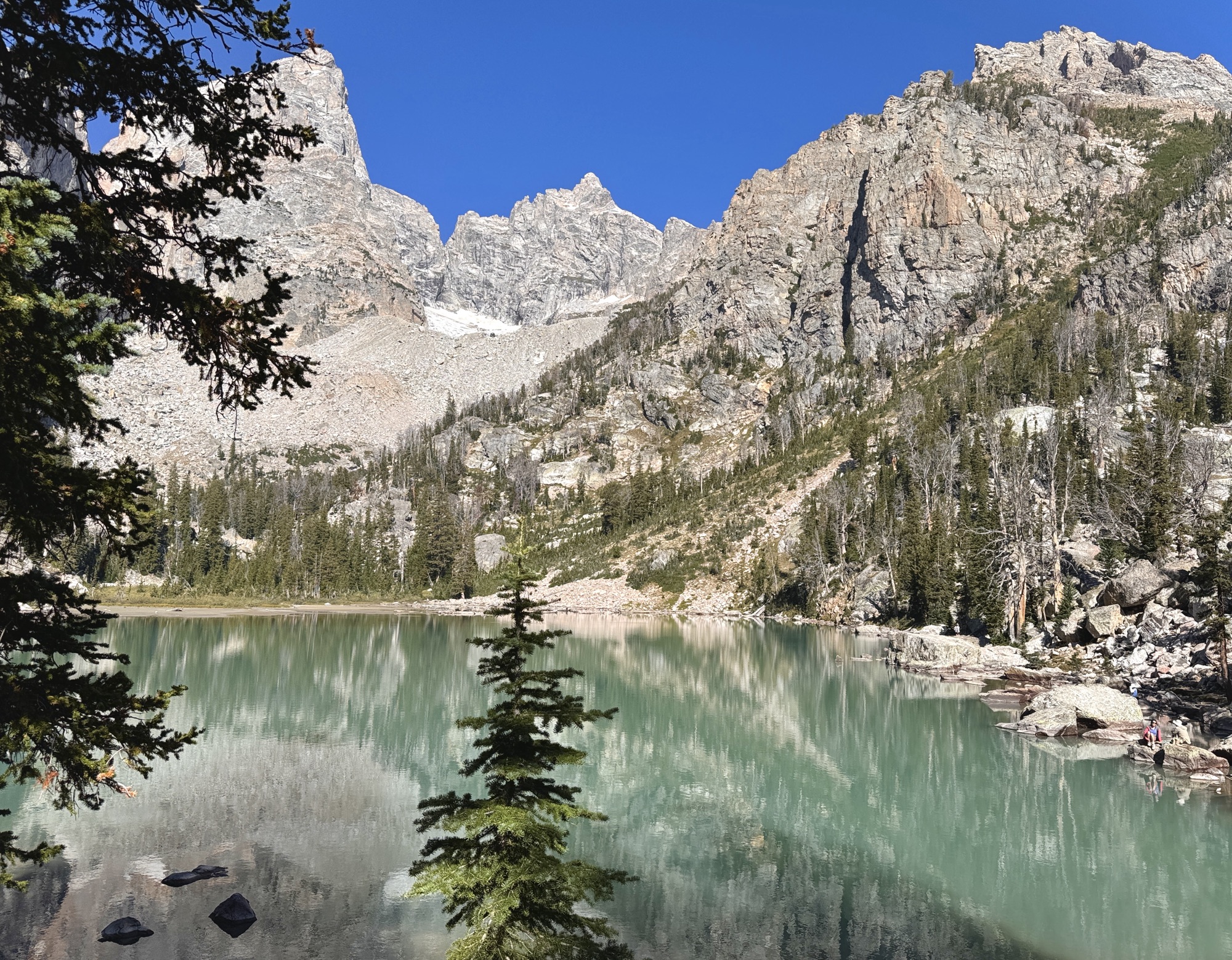
Then, you get to hang out with 50+ of your new closest friends while you all do the same thing: breathe, soak it all in, take a million gazillion photos, play balance beam on the logs, and chill on the huge, warm boulders while eating a bunch of snacks.

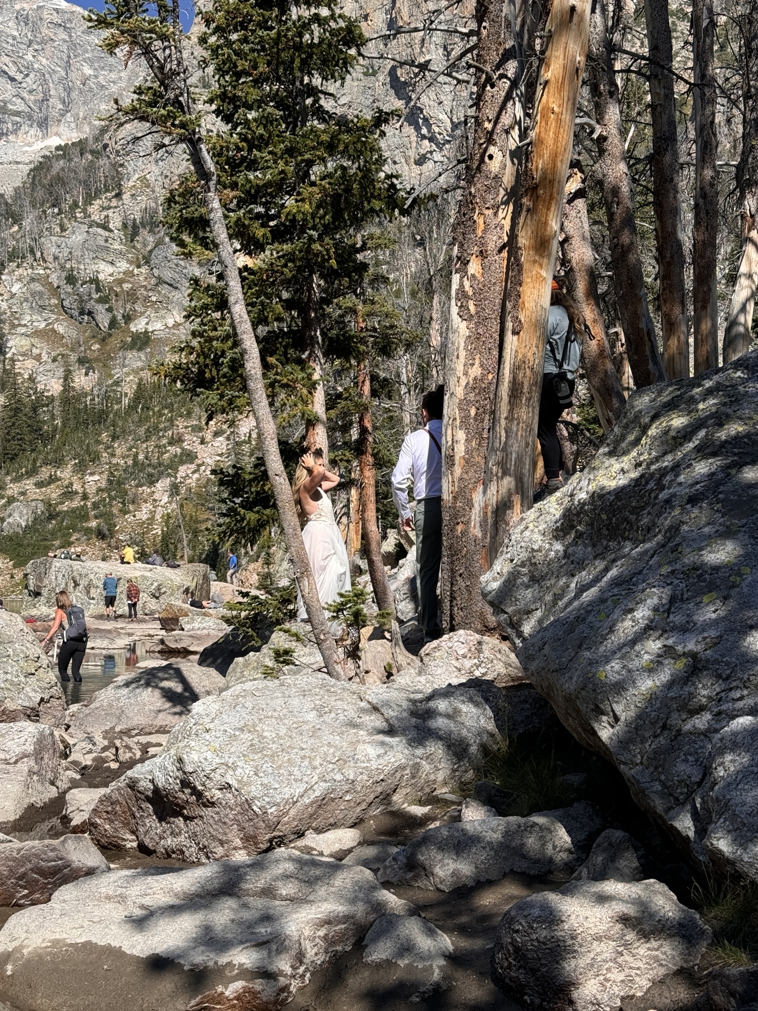
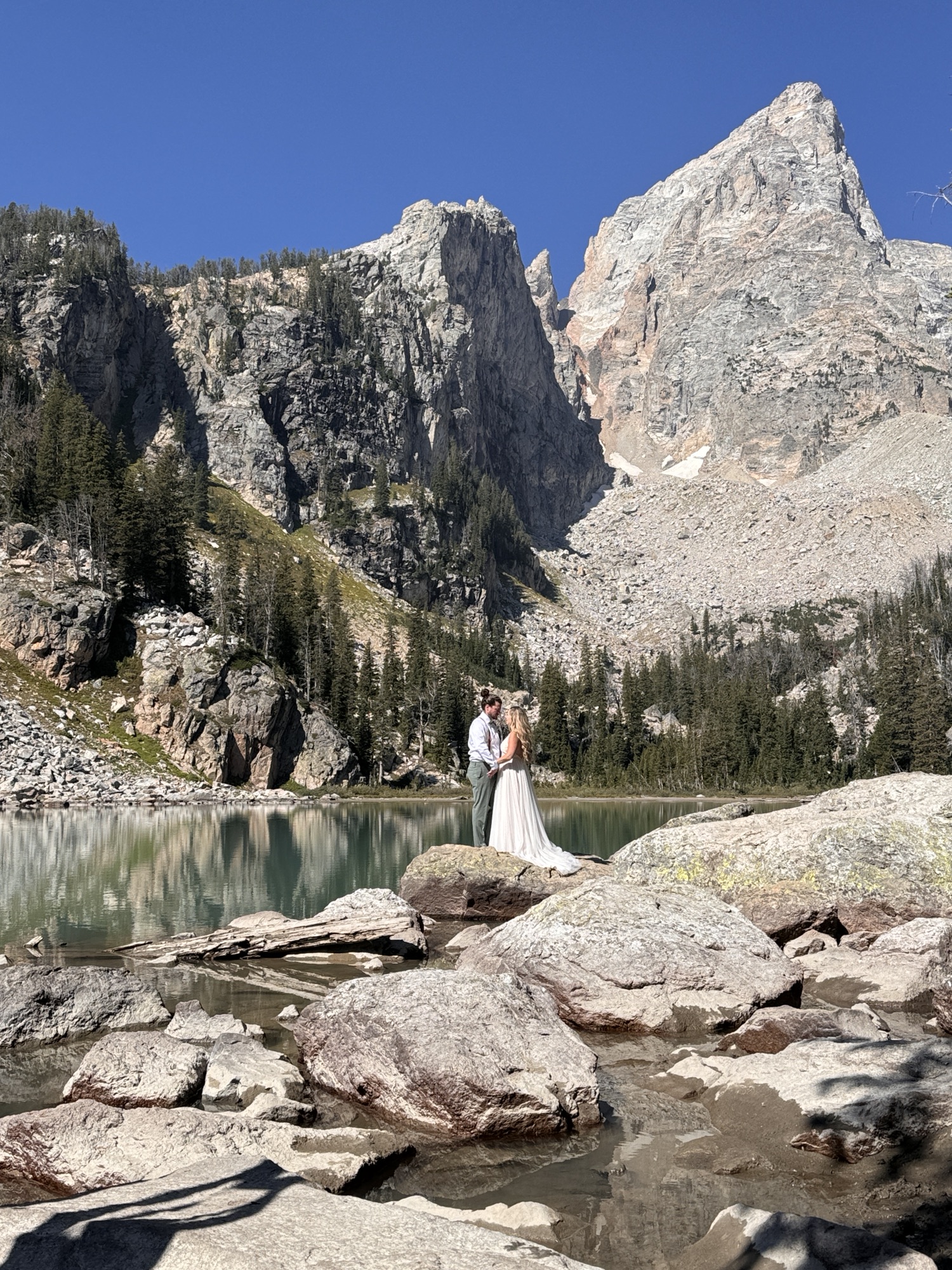
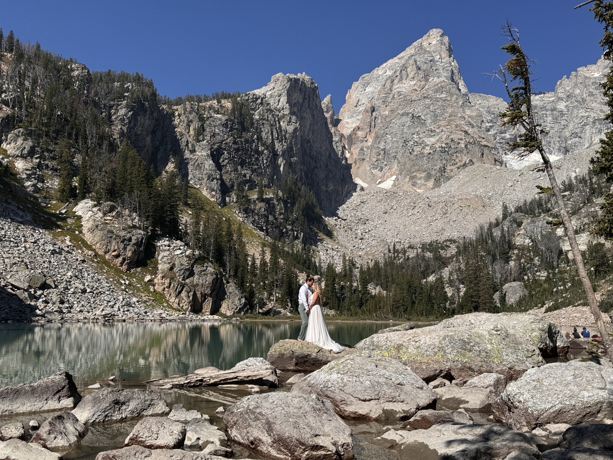
While we were doing the snack part, we realized that there was a couple who’d changed into wedding clothing and had two photographers, and we got to watch this cute magic happen. How awesome is that?
I was honestly dreading the trek back haaa – but what choice do ya have? Poor knees.
This time too, we had a straggler who attached to us. Why do we seem like we know where we’re going? SOS haha


The walk back drug on for sooooo long, it was like one of those horror movies where you get trapped in the forest and keep going in neverending loops. Everyone we passed & who passed us were all complaining about it haha so at least we had it in common.
This view of Bradley & Taggart Lakes kept me goin’.
I was SO HAPPY to make it to the parking lot. The sense of accomplishment was so real – and so was the appetite we’d worked up. We started around 6AM and ended around 2PM. Wild.
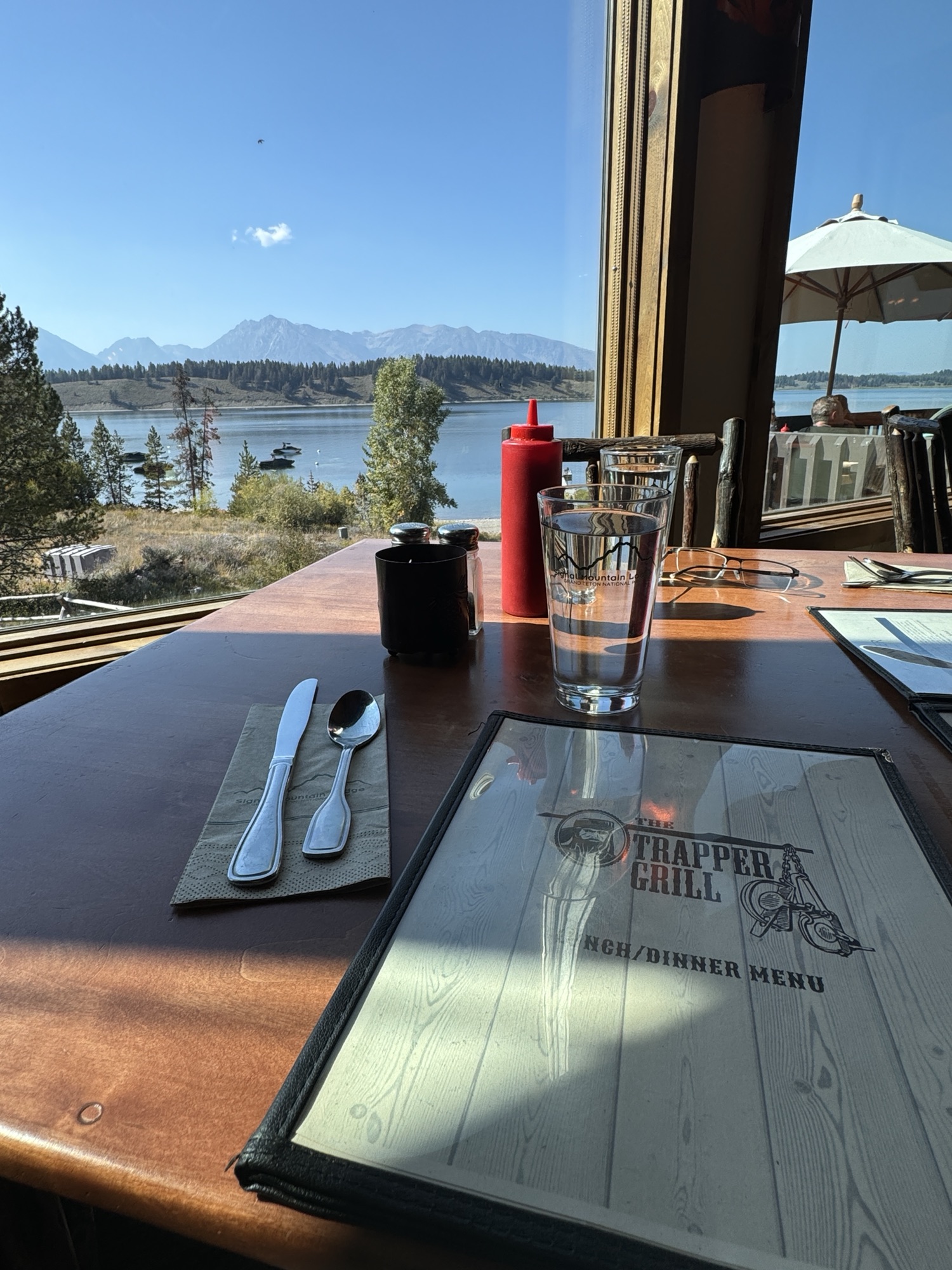
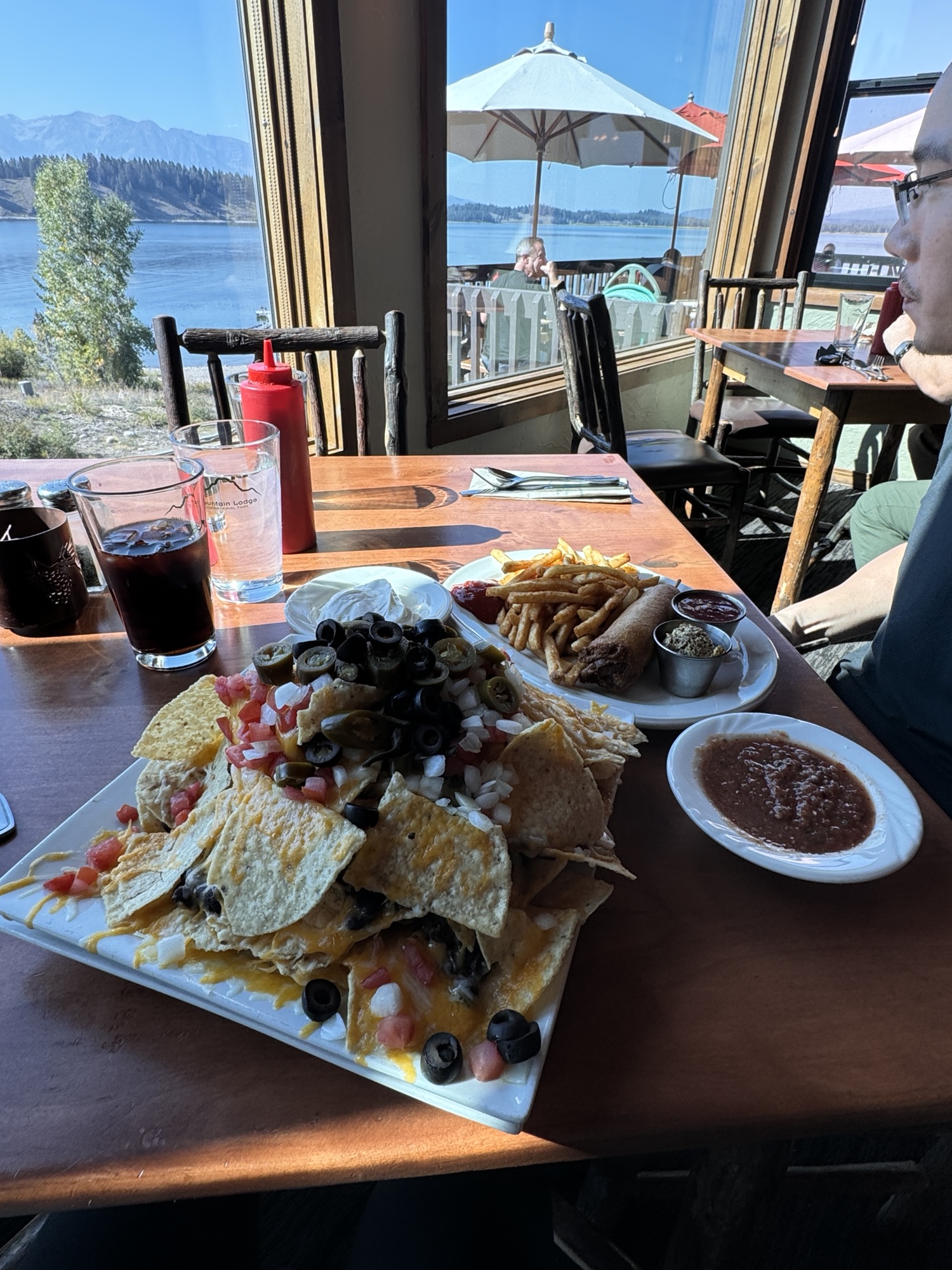
We ate (for the second time) at Signal Mountain Lodge. We loved this restaurant. This was the “Signal Mountain of Nachos” – the two people version (the have a bigger one available) and we killed every bite.
It didn’t hurt that the view is super gorgeous too 😉

Delta Lake via Lupine Meadows, via All Trails:
https://www.alltrails.com/trail/us/wyoming/delta-lake-via-lupine-meadows-access
Two blog posts that helped us plan:
https://www.litaofthepack.com/delta-lake-grand-teton/
https://www.seekingoursomeday.com/blog/delta-lake
Learn about Grand Teton National Park:
https://www.nps.gov/grte/index.htm
The Lake’s wiki page with an awesome aerial photo:
https://en.wikipedia.org/wiki/Delta_Lake_(Teton_County,_Wyoming)
Gros Ventre campground:
https://www.nps.gov/grte/planyourvisit/gros-ventre-campground.htm
Signal Mountain Lodge:
https://www.signalmountainlodge.com/


Leave a comment