

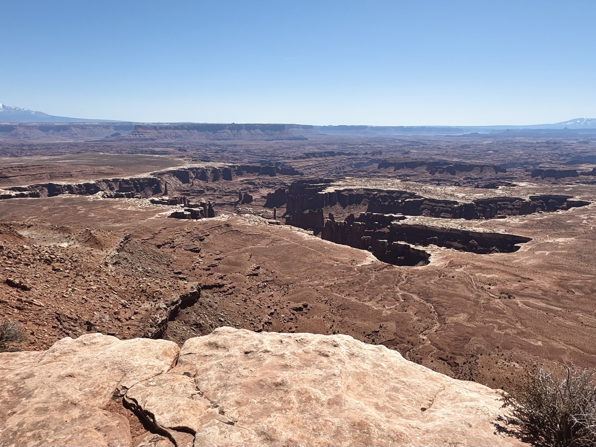
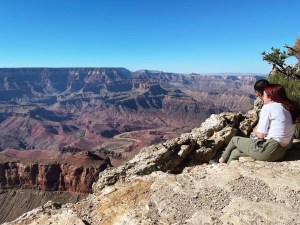
I can’t tell you how long I’ve been dying to see this gigantic hole in the ground. It has been my desktop wallpaper so. many. times.
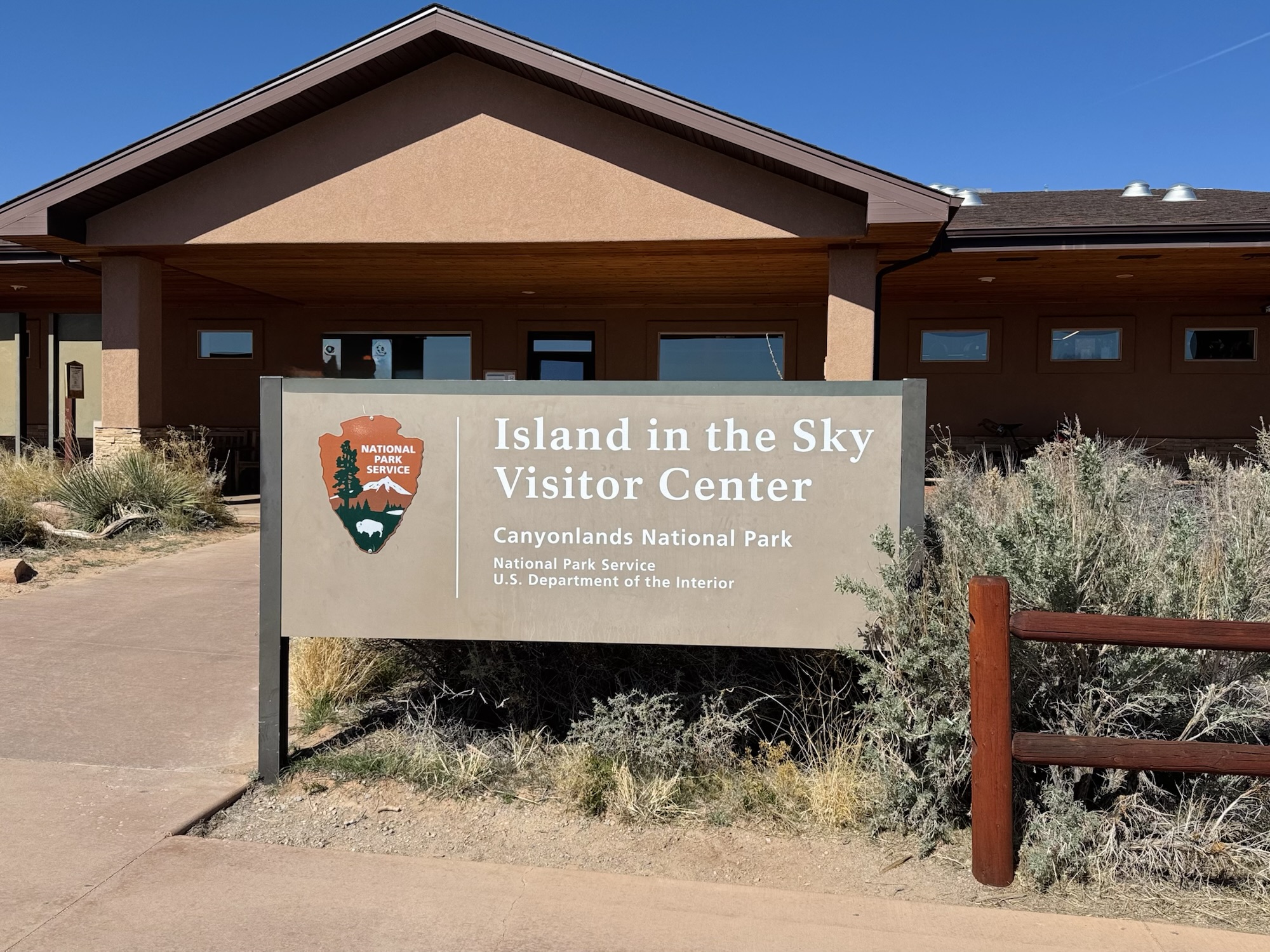
This neighborhood of Canyonlands National Park is called Island in the Sky and it’s basically next door to Arches National Park, so it didn’t take long for us to get here after we’d been at Delicate Arch for sunrise that morning.

Grand View
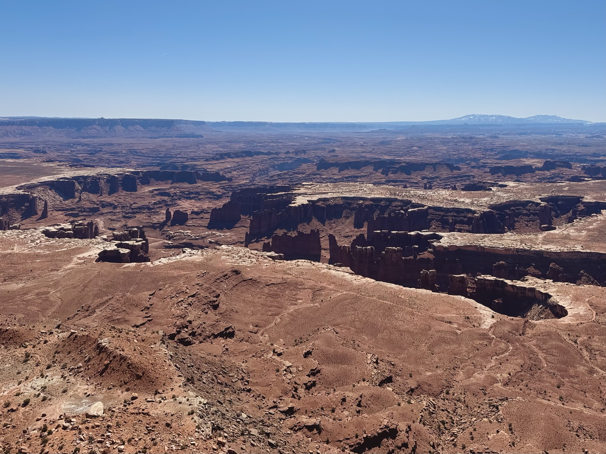
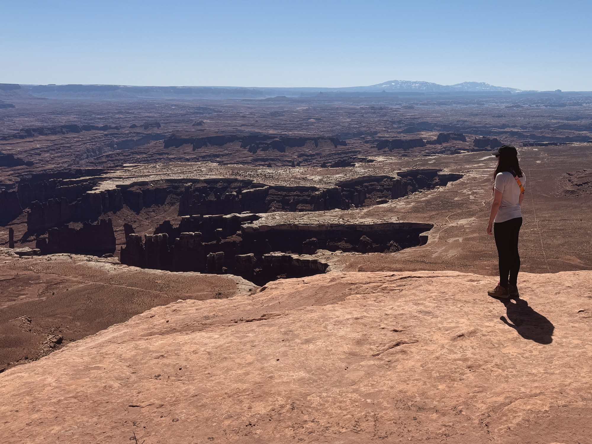
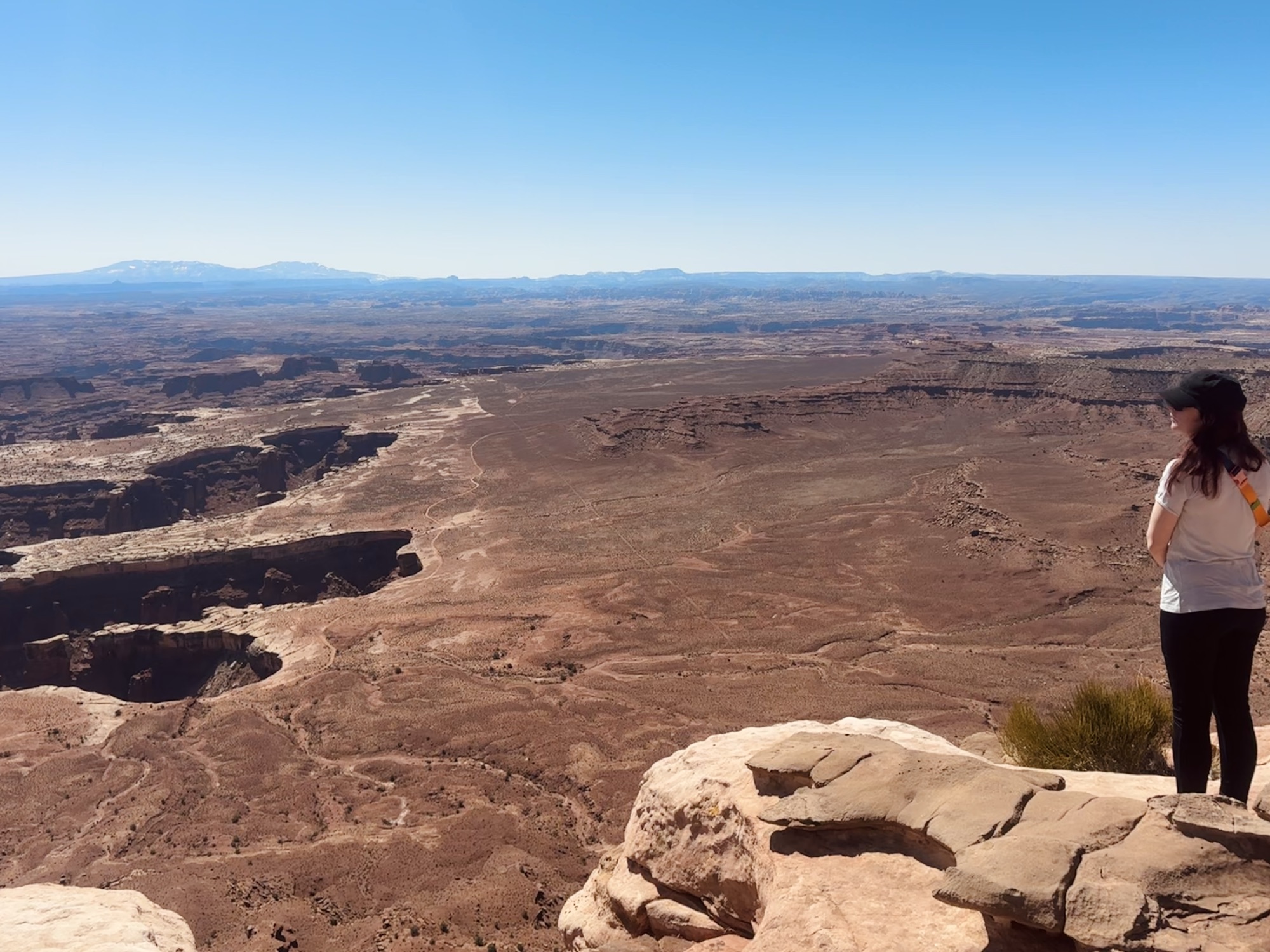
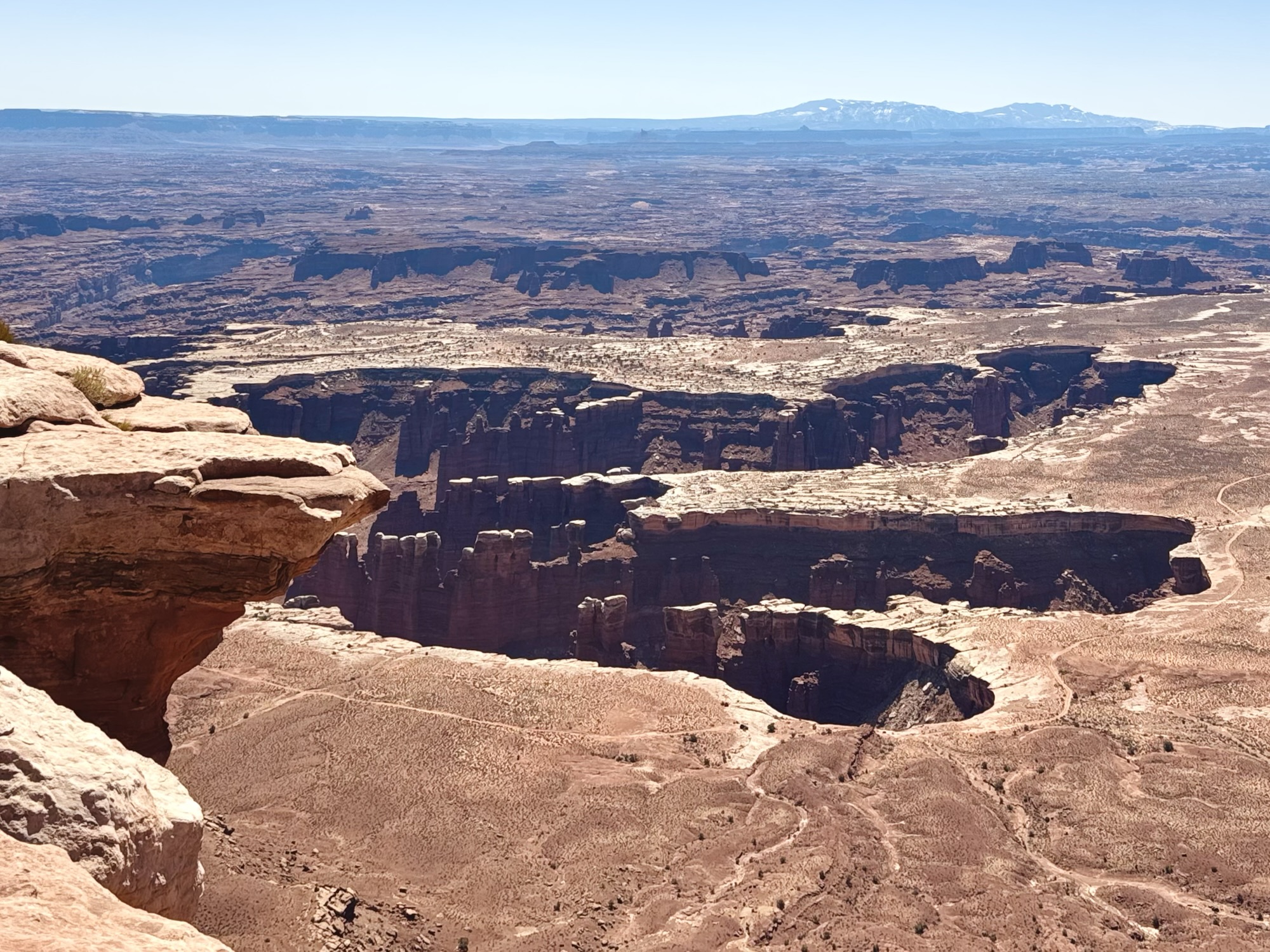
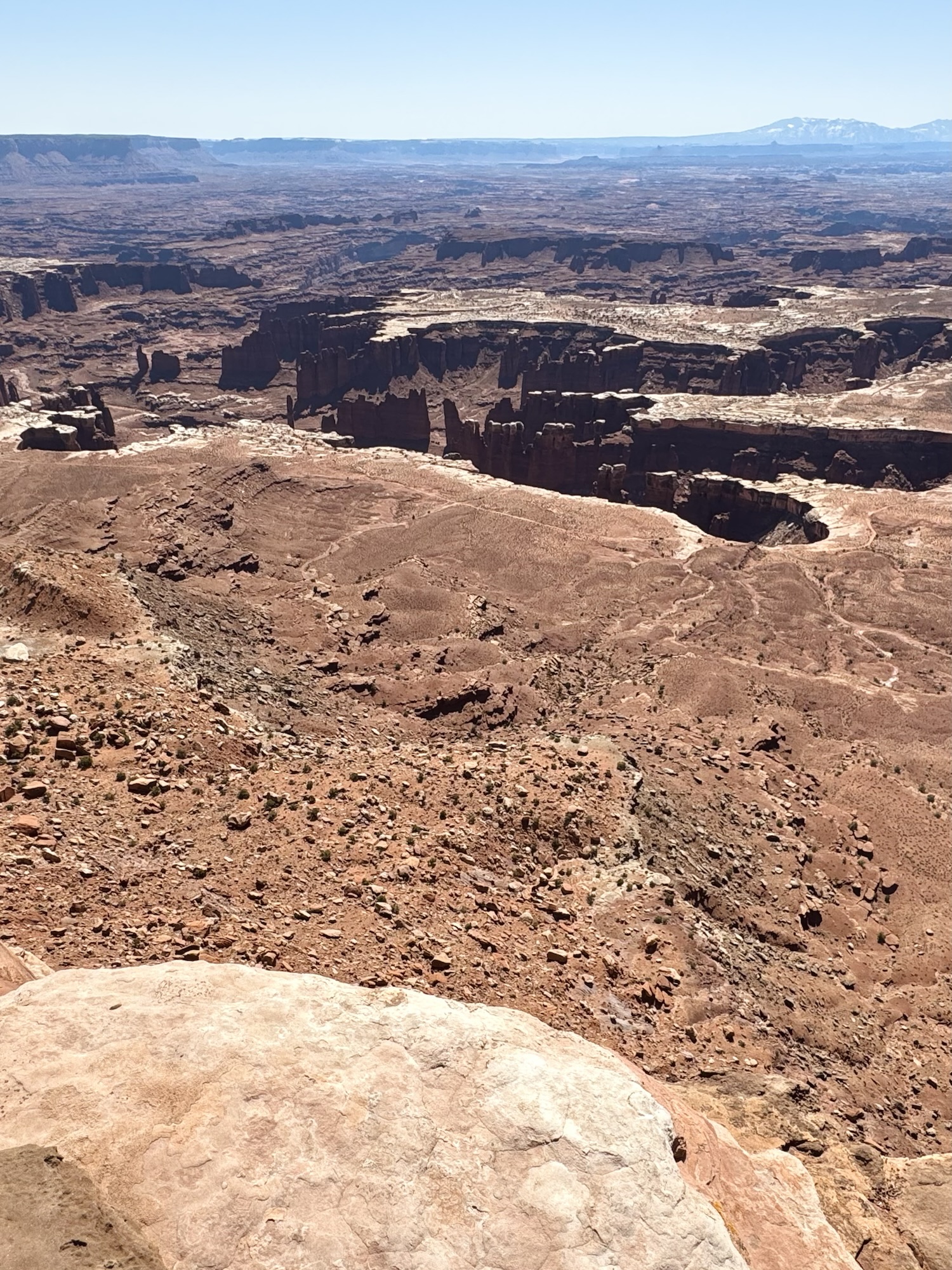
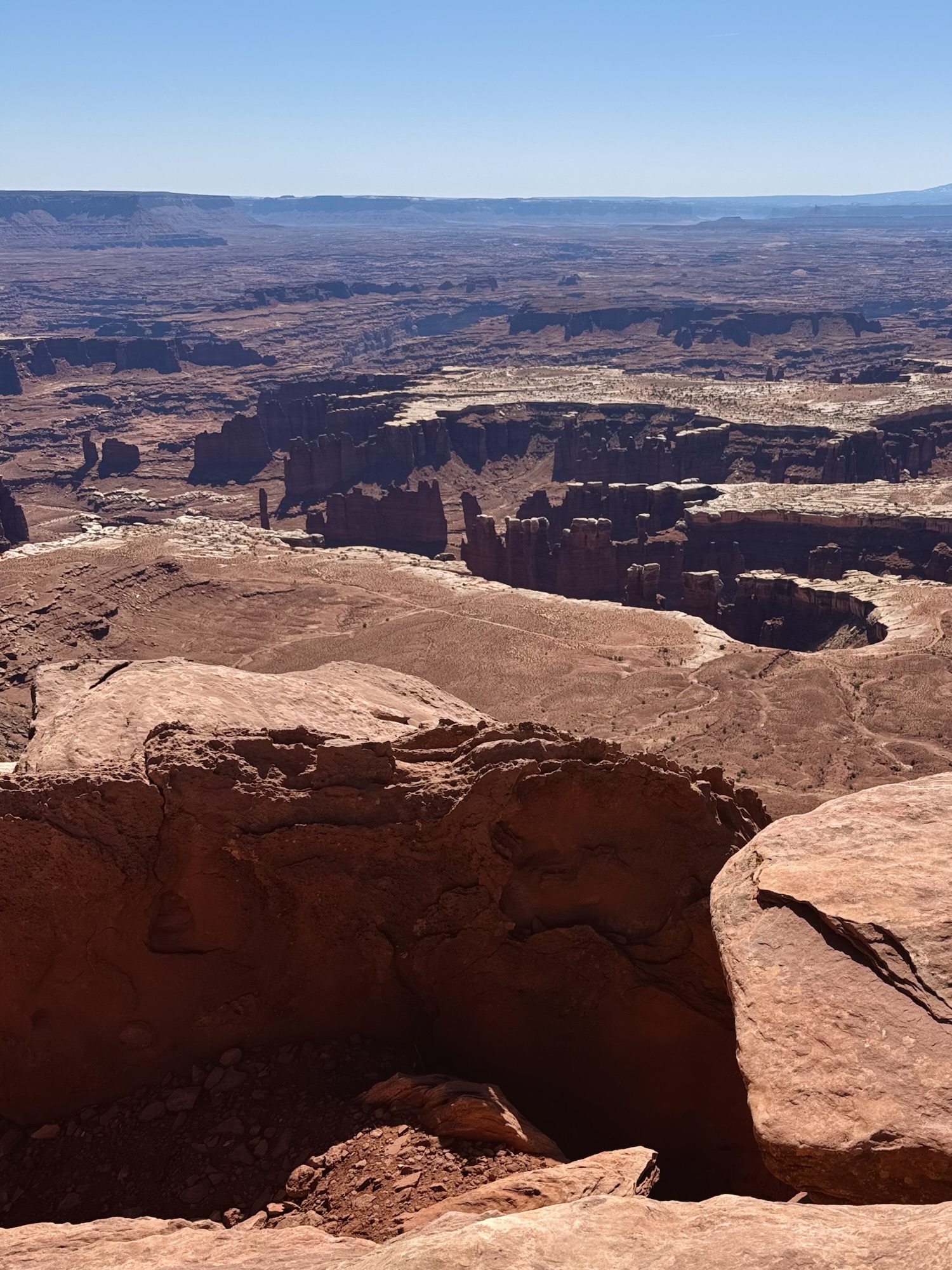
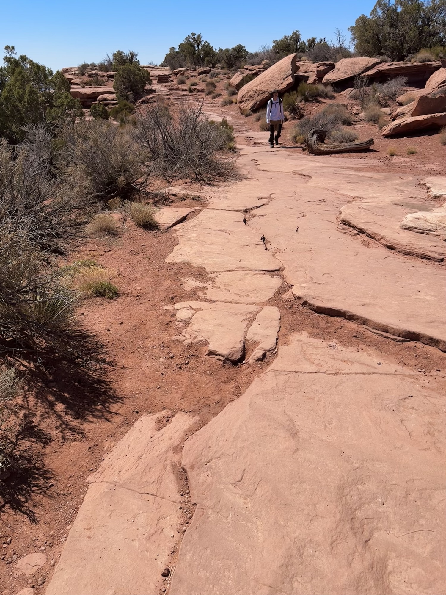
The trail for Grand View starts in a big ol’ parking lot, leads to an overlook where 50 bajillion people hang out and take pics, then leads along a sandstone plateau that follows the rim of the canyon.
It.
Is.
So.
Gorgeous.


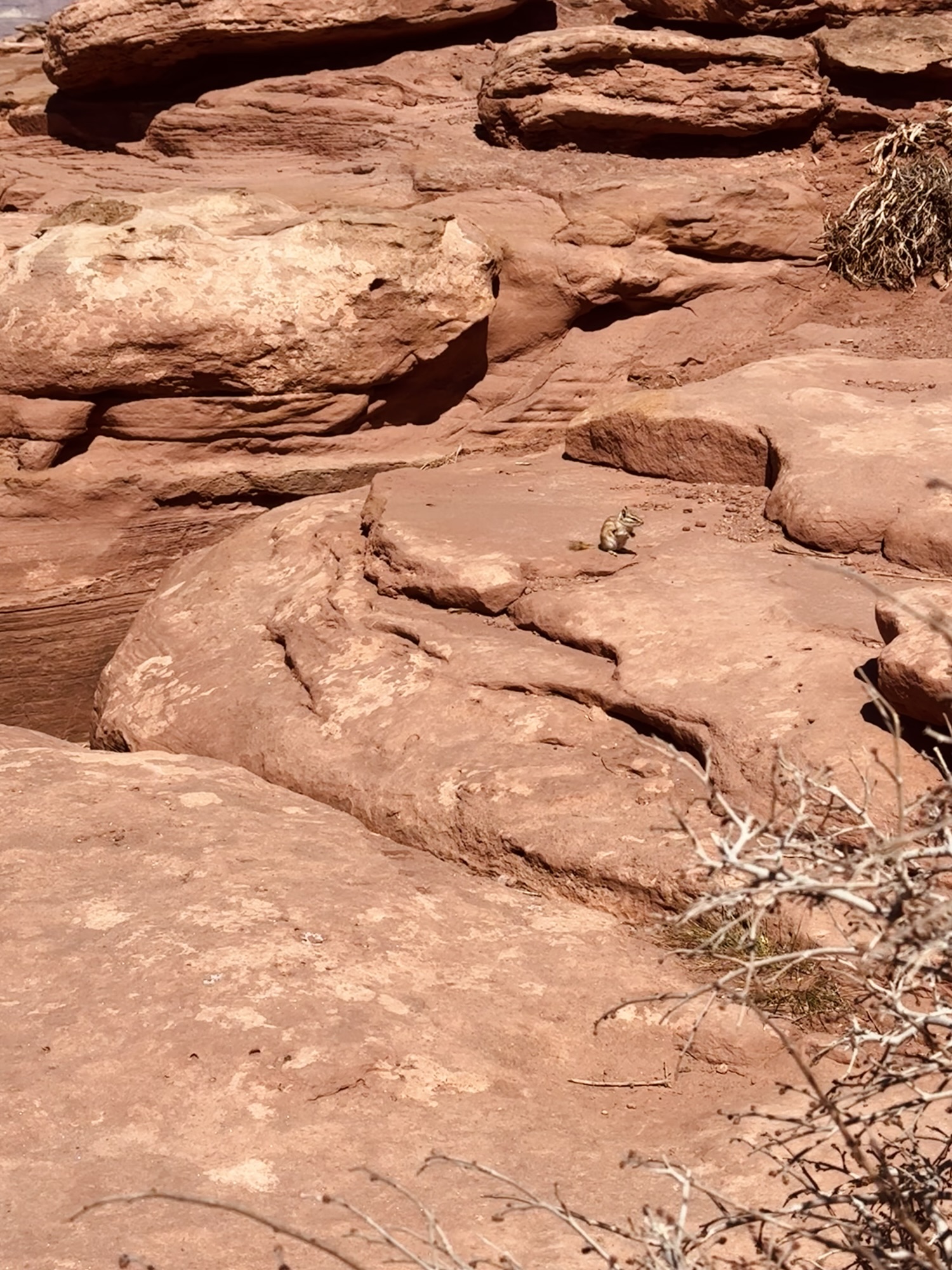
Hi, little chippy.
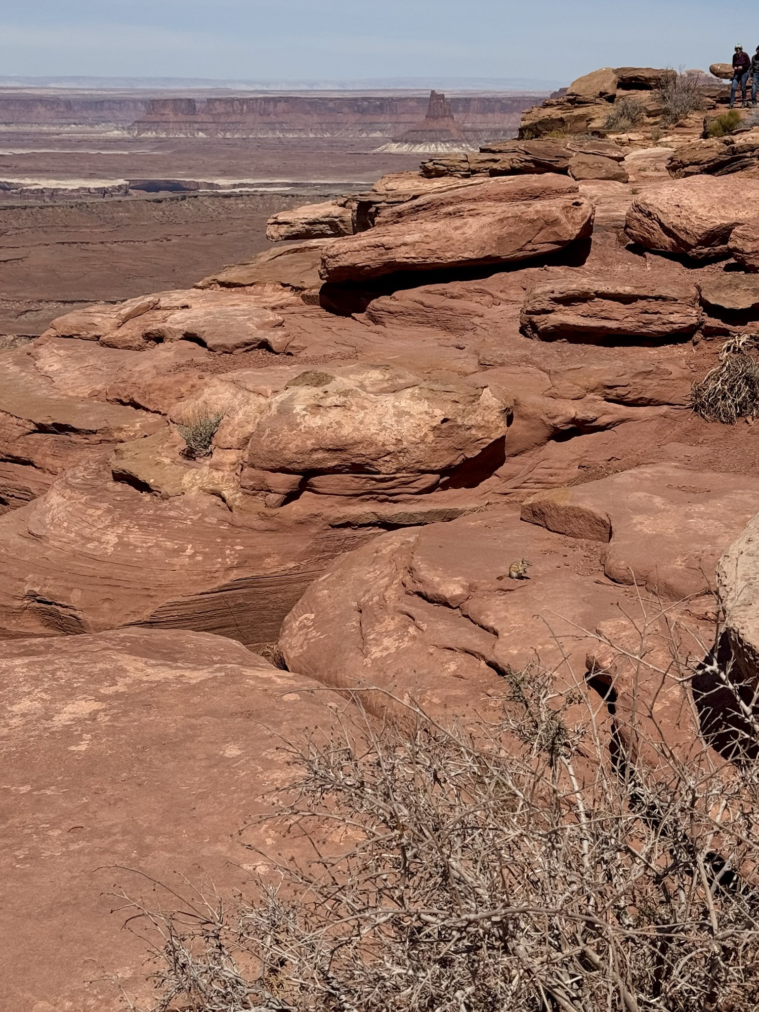
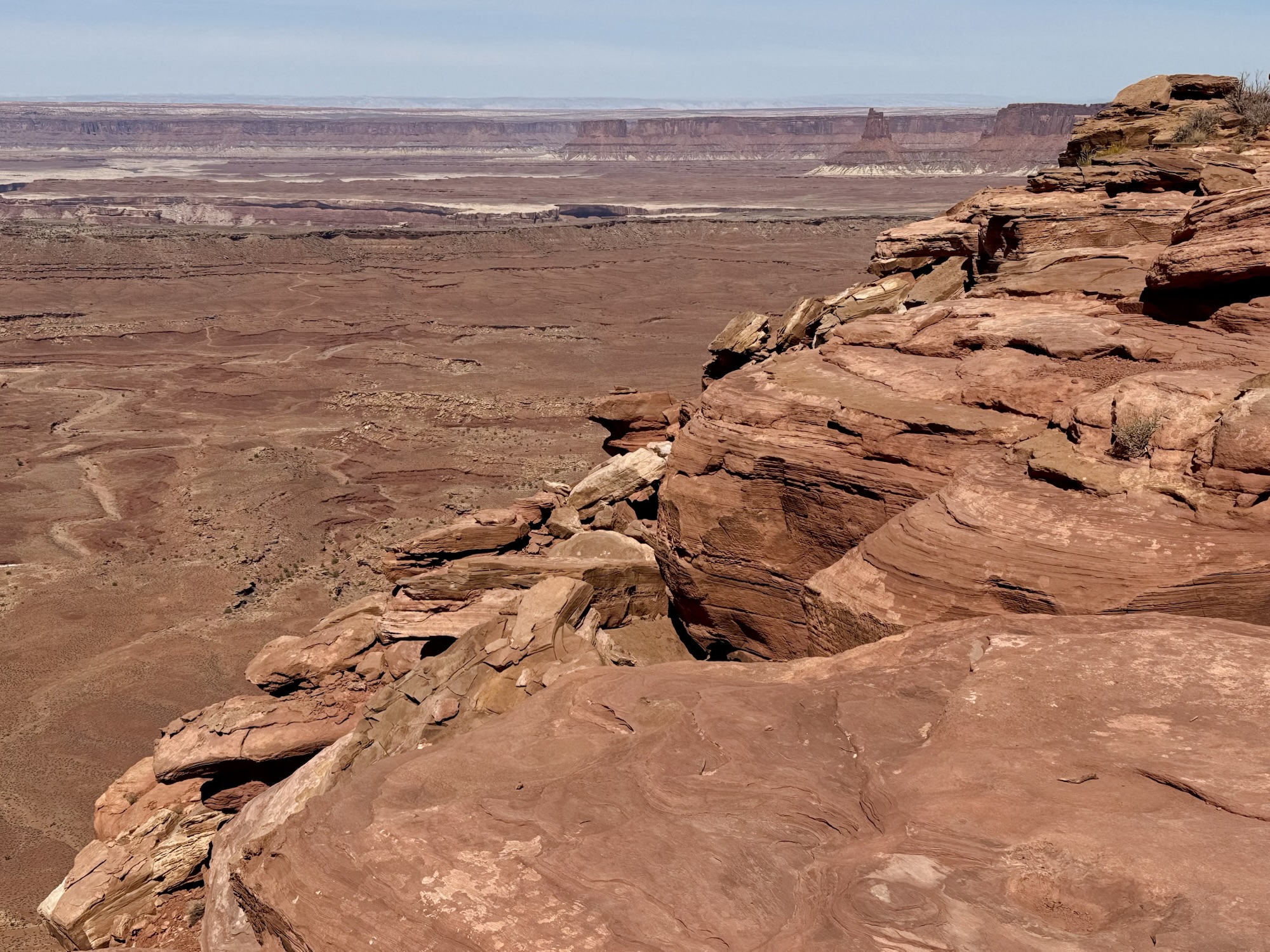
At the end, there’s a crazy beautiful viewpoint overlooking the rest of Canyonlands. We hung out and ate a bunch of snacks, as per usualllll.
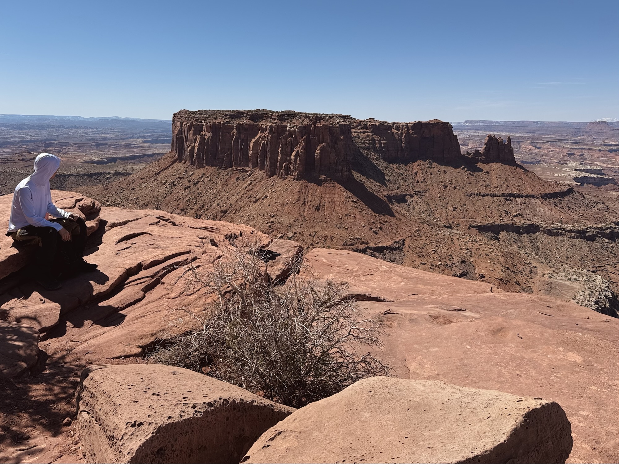
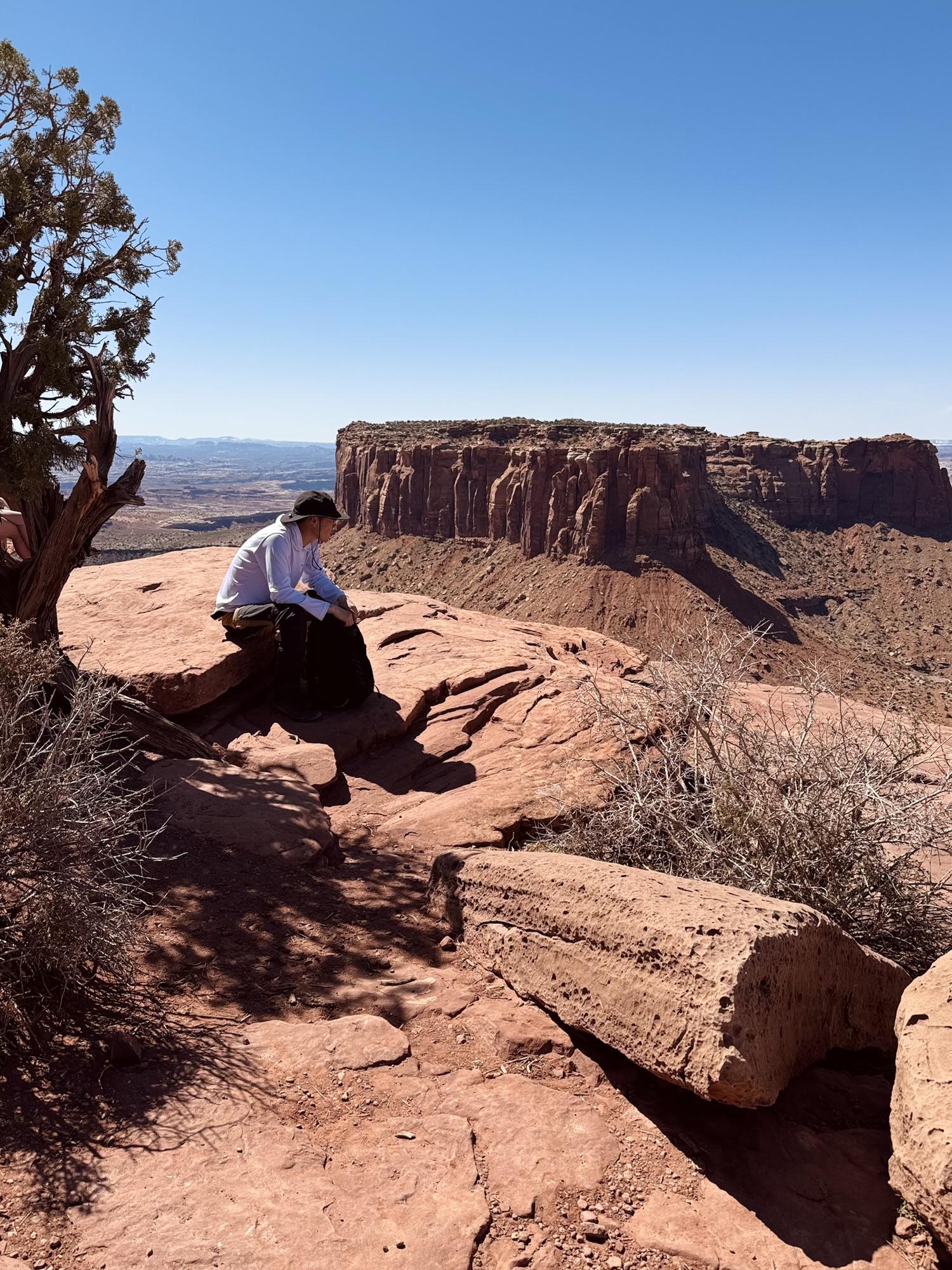
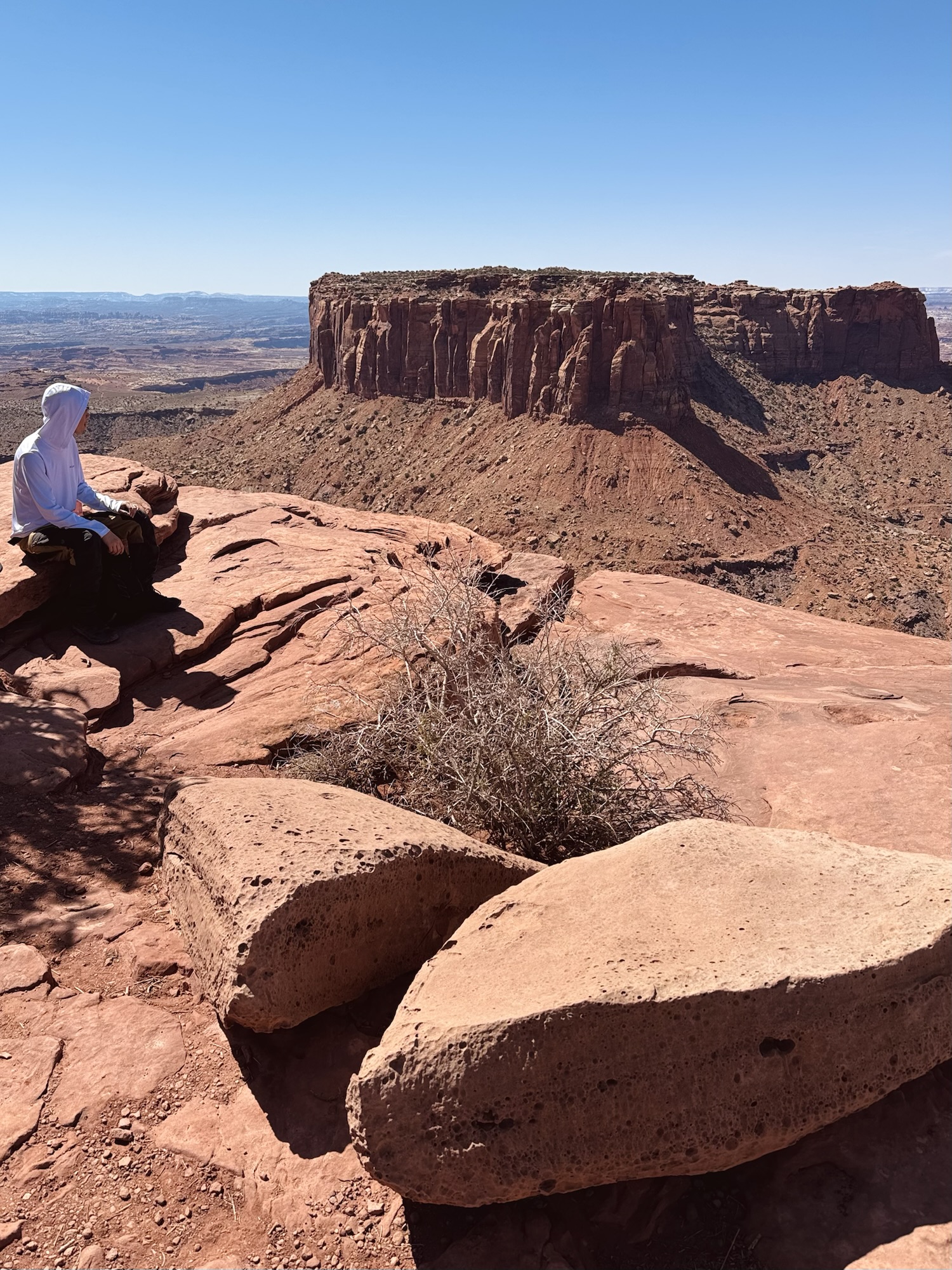
The trail itself is about two miles long, out and back. We went in early April and it was pretty good weather, but the whole thing is pretty exposed without any shade and I can imagine it gets super super super hot here in the summer.

Weeeeee, then we bopped over to Mesa Arch which was another super busy crowded spot, but of course worth all of the bother just like they normally are.
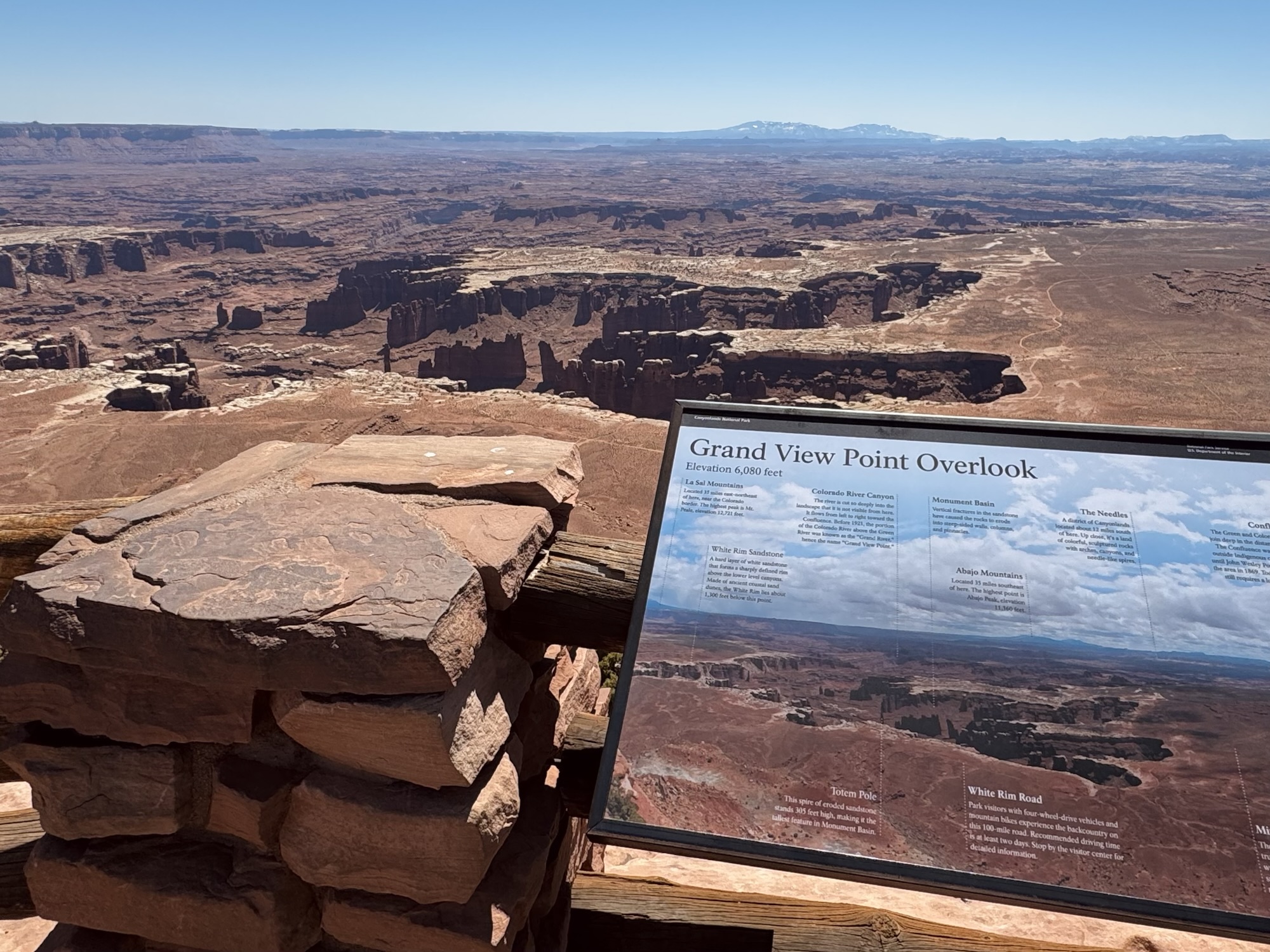
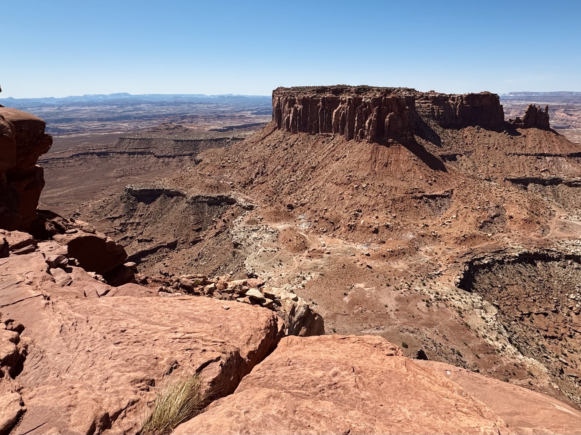
The sign talks about all of the features you can see from here:
- “La Sal Mountains: Located 35 miles east-northeast of here, near the Colorado border. The highest peak is Mt. Peale, elevation 12,721 feet.
- White Rim Sandstone: A hard layer of white sandstone that forms a sharply defined rim above the lower level canyons. Made of ancient coastal sand dunes, the White Rim lies about 1,100 below this point.
- Colorado River Canyon: The river is cut so deeply into the landscape that it is not visible from here. It flows from left to right toward the Confluence. Before 1921, the portion of the Colorado River above the Green River was known as the “Grand River”,” hence the name “Grand View Point.”
- Monument Basin: Vertical fractures in the sandstone have caused the rocks to erode into steep-sided walls, columns, and pinnacles.
- Abajo Mountains: Located 35 miles southeast of here. The highest point is Abajo Peak, elevation 11,360 feet.
- The Needles: A district of Canyonlands located about 1.2 miles south of here. Up close, it’s a land of colorful, sculptured rocks with arches, canyons, and needle-like spires.
- Confluence: The Green and Colorado rivers join deep in the distant canyons. The Confluence was unknown outside indigenous communities until John Wesley Powell mapped the area in 1869. Today, viewing it still requires a long journey by foot or boat.
- Mining Roads: These roads were made by uranium trucks and bulldozers before Canyonlands was established in 1964. The desert is surprisingly fragile, impacts like these can take decades to heal.”

Grand View trail via All Trails:
https://www.alltrails.com/trail/us/utah/grand-view
Canyonlands National Park via NPS:
https://www.nps.gov/cany/index.htm


Leave a comment