
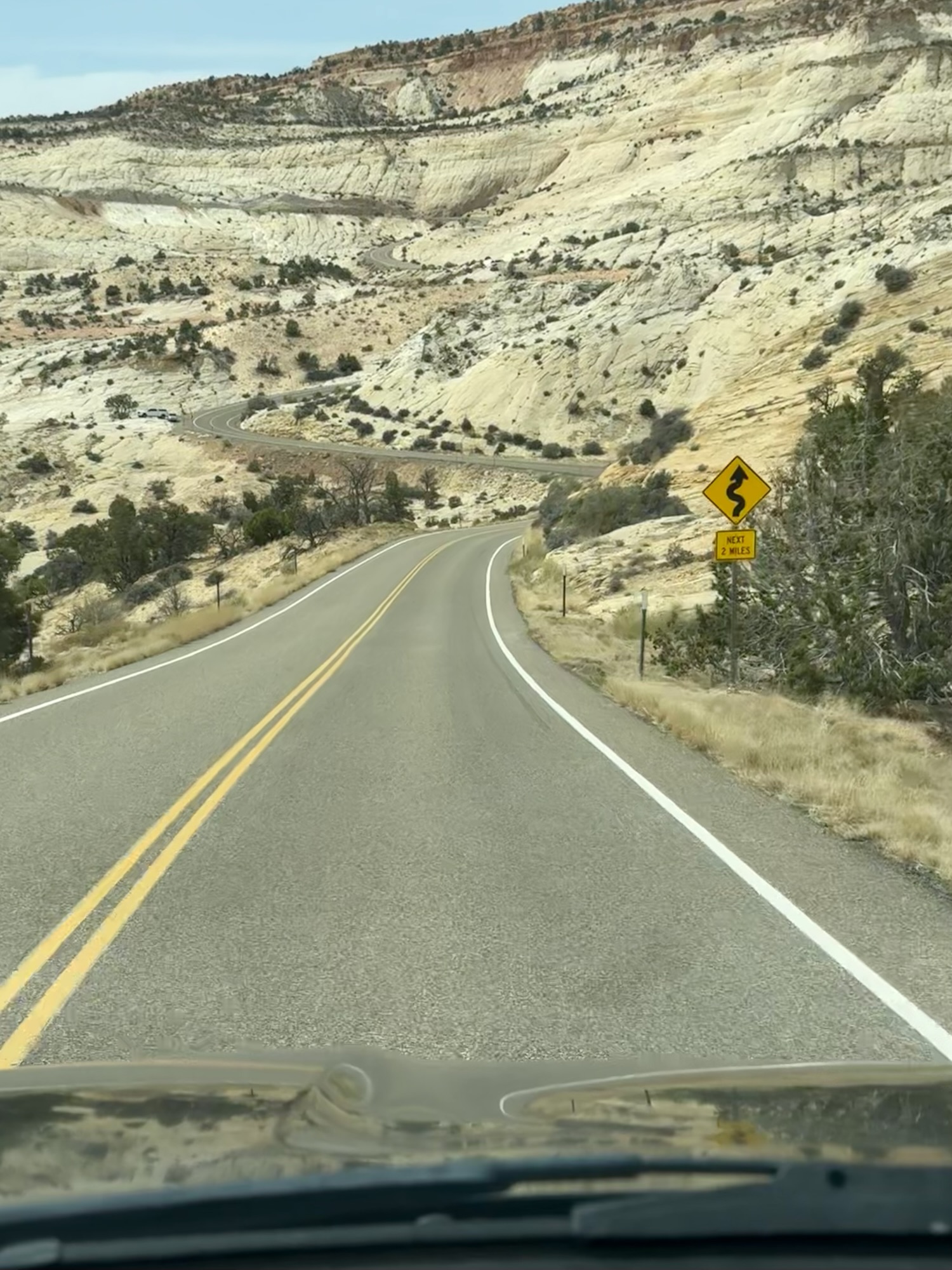
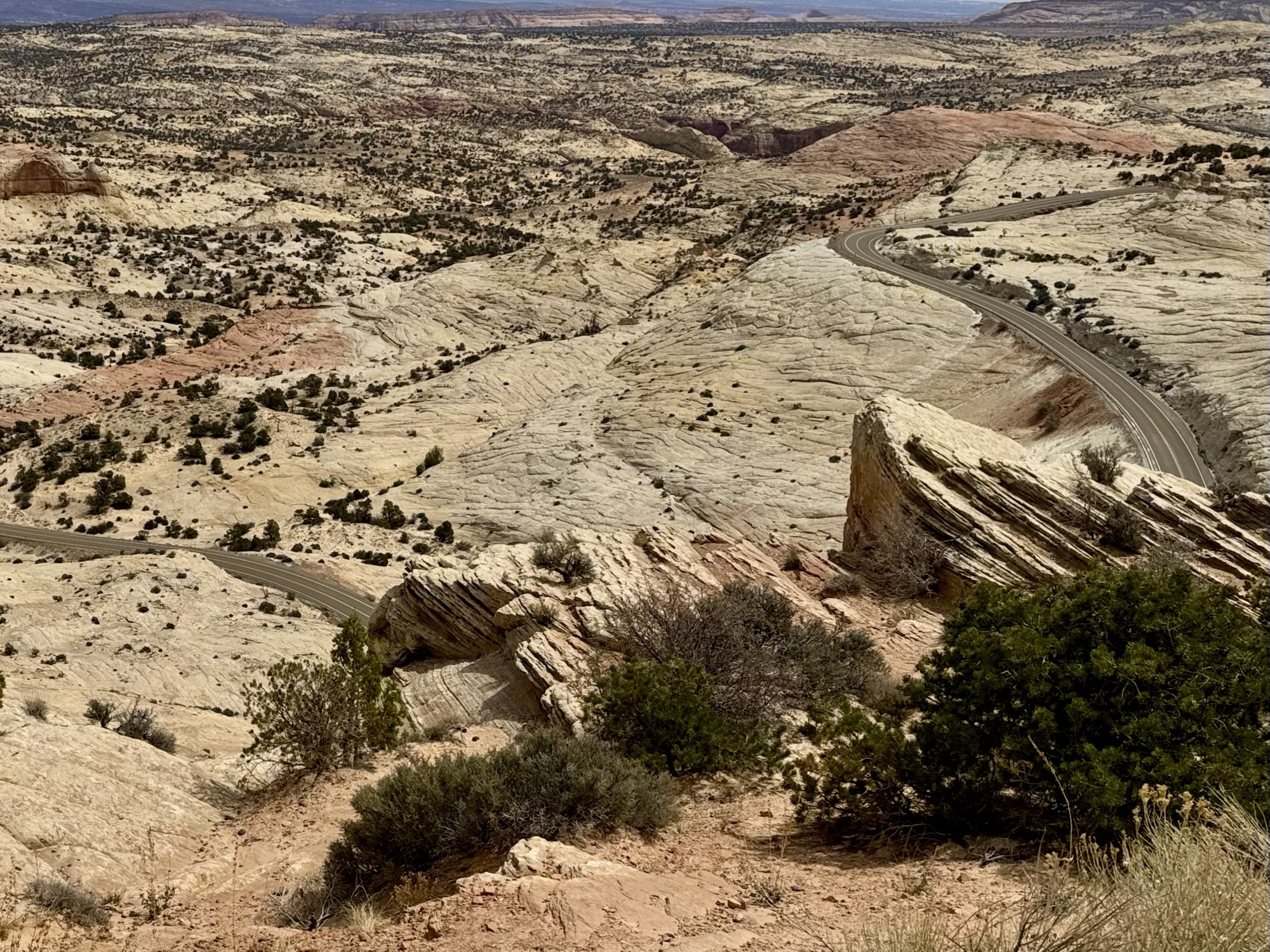
The drive from Capitol Reef to Bryce Canyon is one of the most beautiful we’ve been on yet. At one point, you’re on a two lane highway along the spine of the mountain with no shoulder, drop-offs on each side, and the most panoramic views of the area. I kept thinking of my dad when we were out here and how much fun he would be having if he was on his motorcycle here.
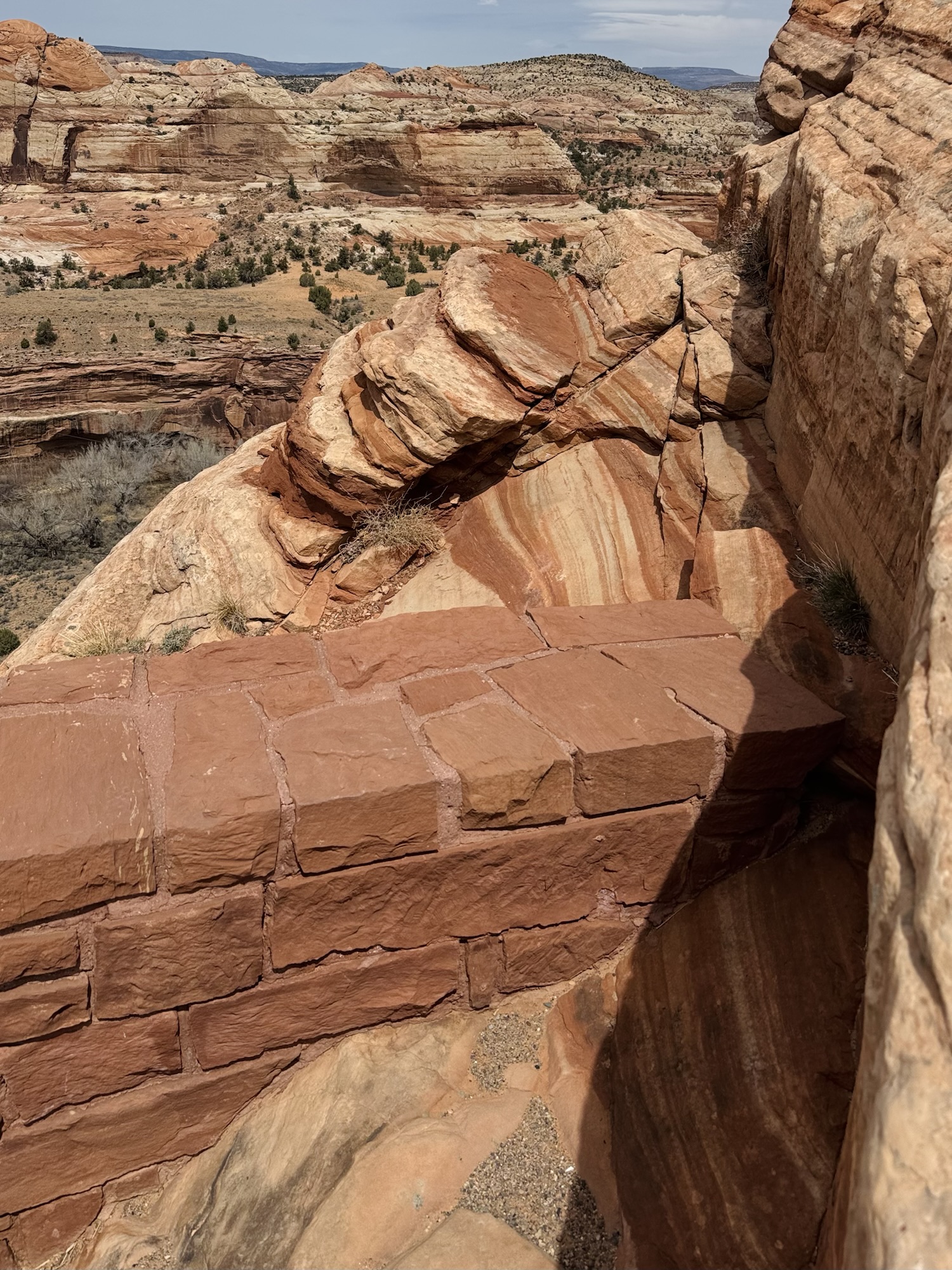
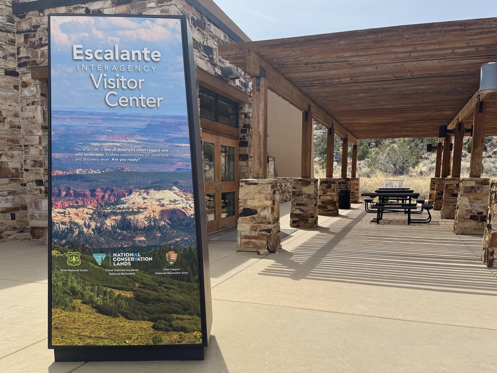
We made a pit stop at the Escalante Interagency Visitor Center to stretch our legs, get a Passport Stamp, and use the bathroom. I was super enamored with the road on the way in and how it looked snaking through the desert, up, down, and all around.

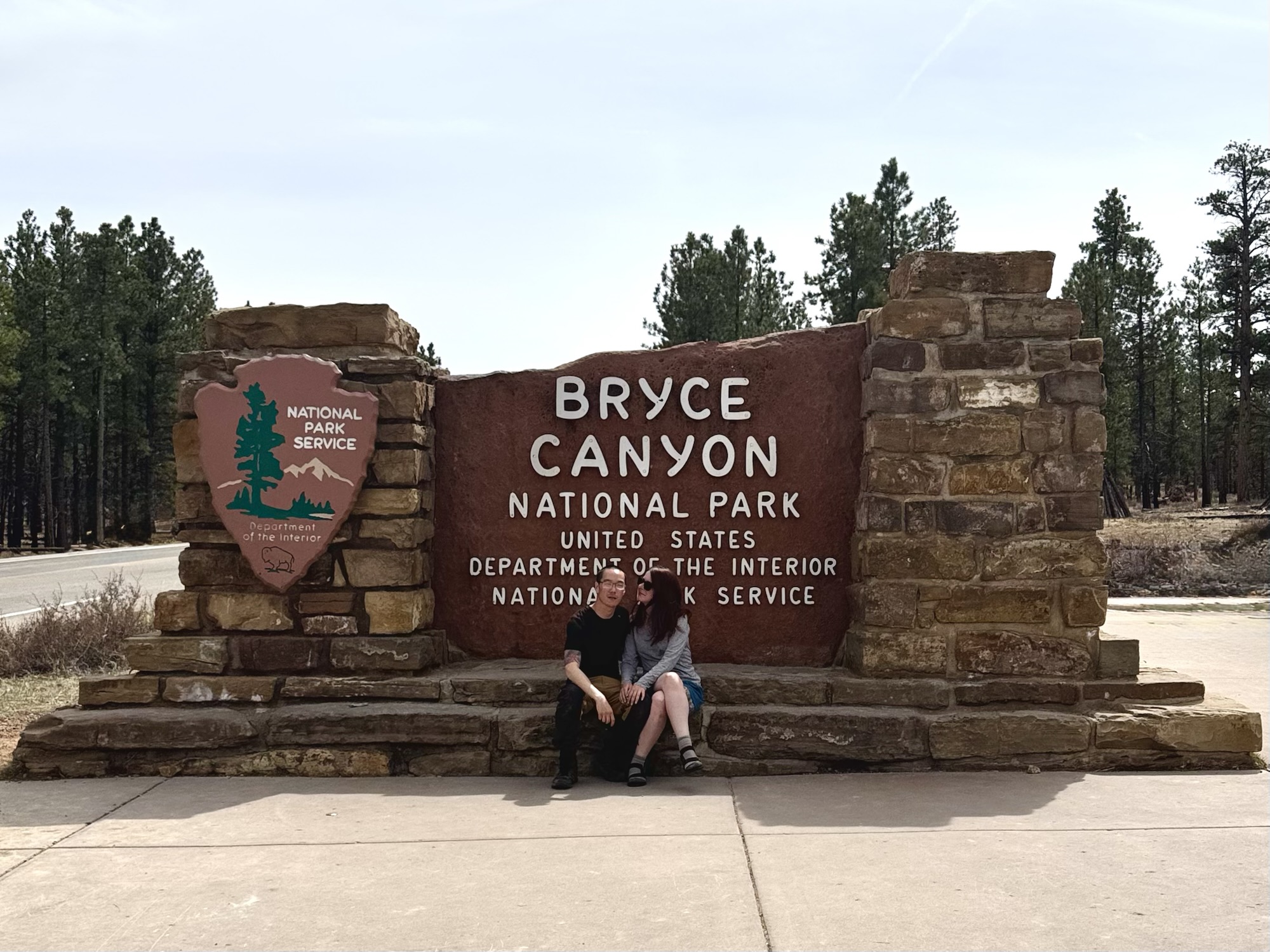
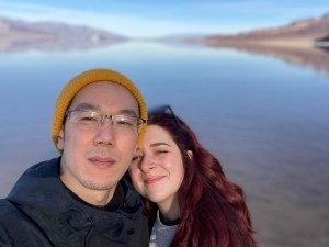
We were extra excited to step foot into Bryce Canyon because it would be the fifth park we’d been to out of Utah’s Big 5 – and the forth park of those on this trip alone.
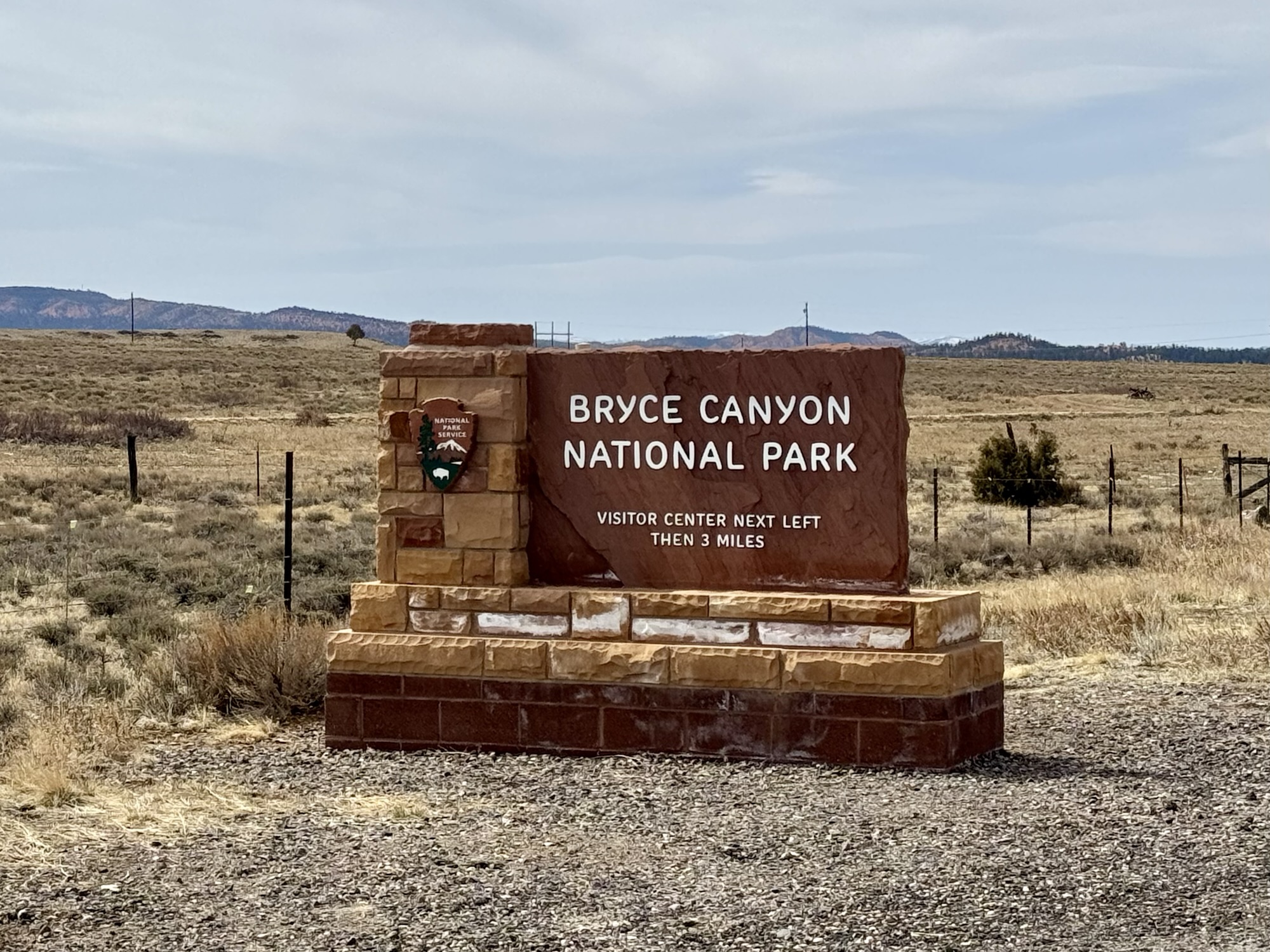
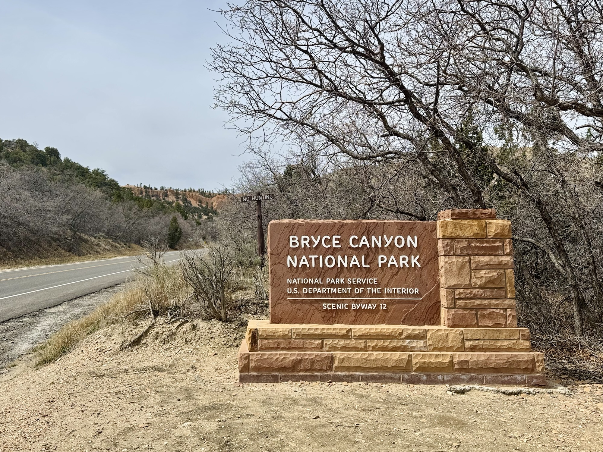
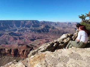
It took us almost exactly an hour to get from the first “entrance sign” (there are a million different ones on the way in) below to the parking lot for Inspiration Point. I can easily say it was the most crowded area we’d been on the trip so far, the most tourist buses, the most people noise, and the most languages we heard spoken. Granted, we did go in the afternoon around prime time… but still, it was a random Tuesday in April.

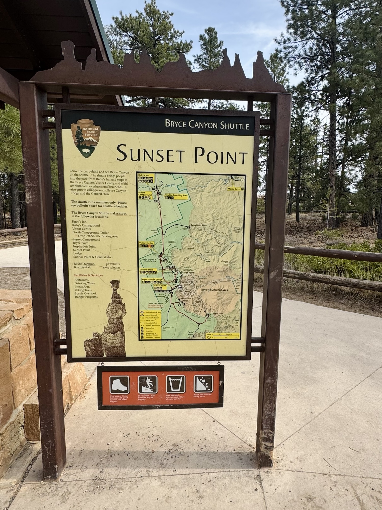
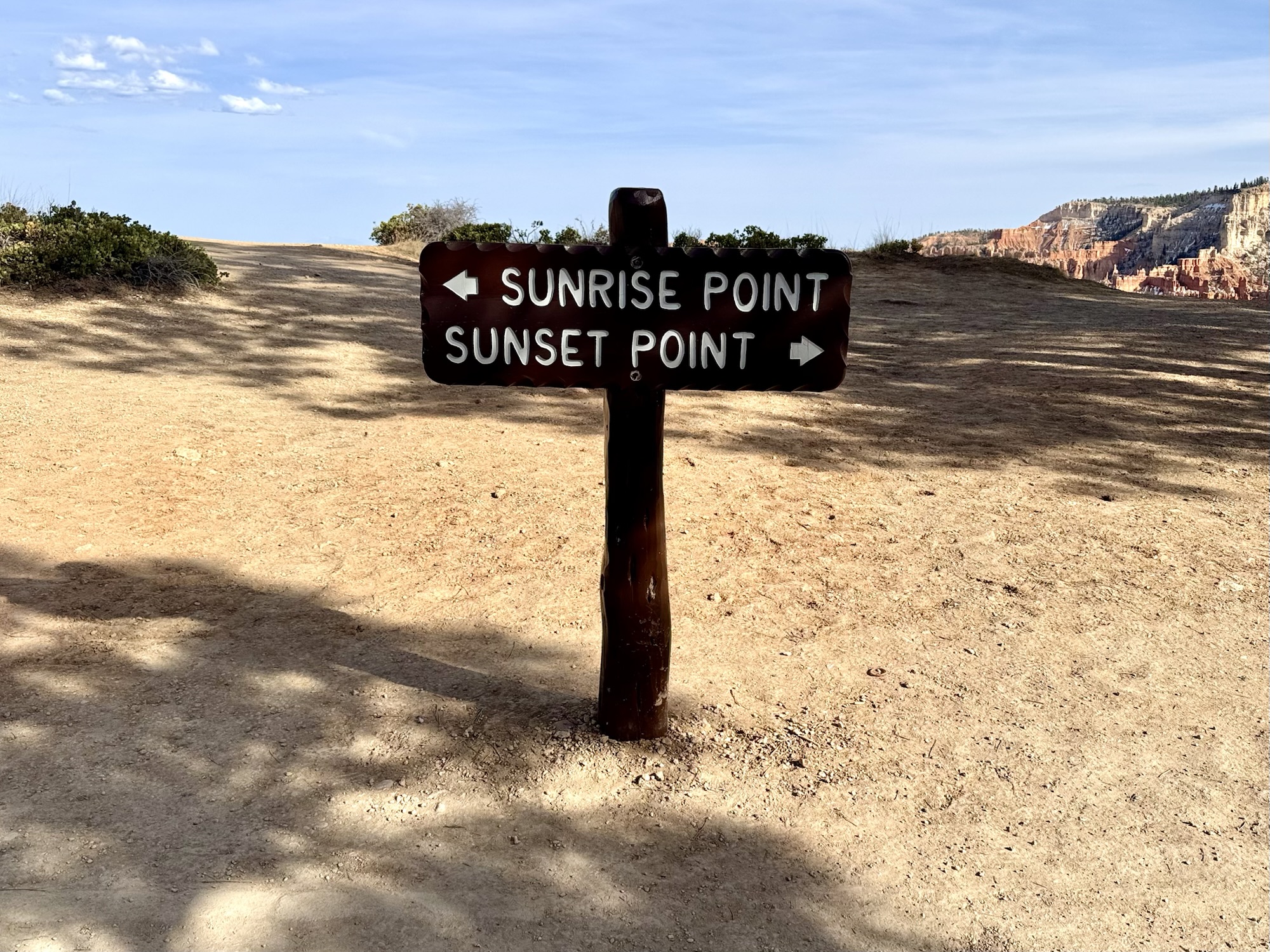
Sunset Point
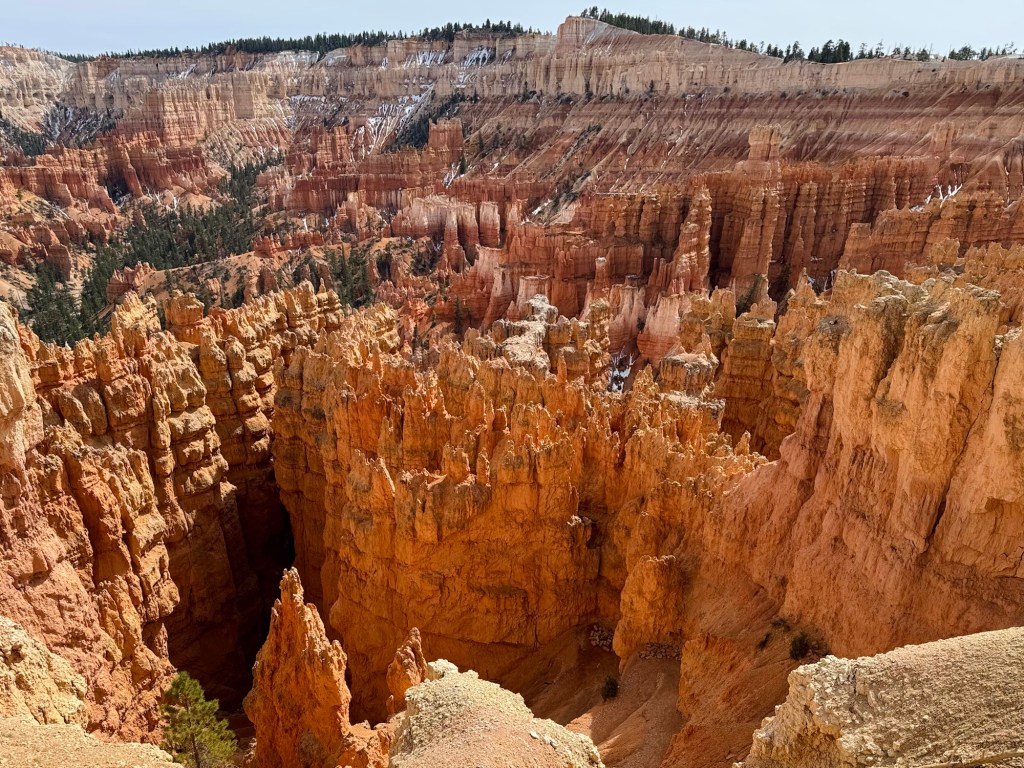
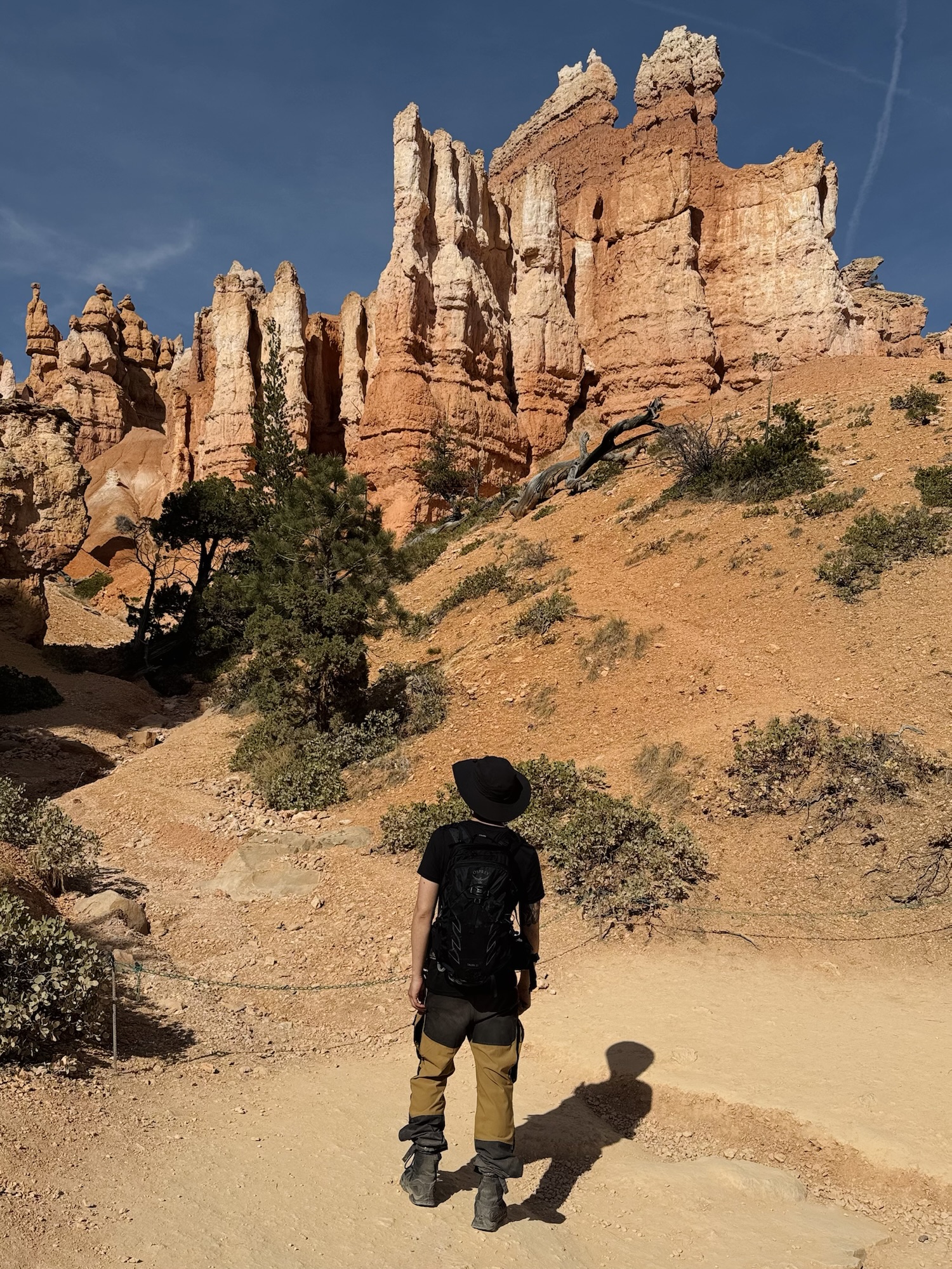
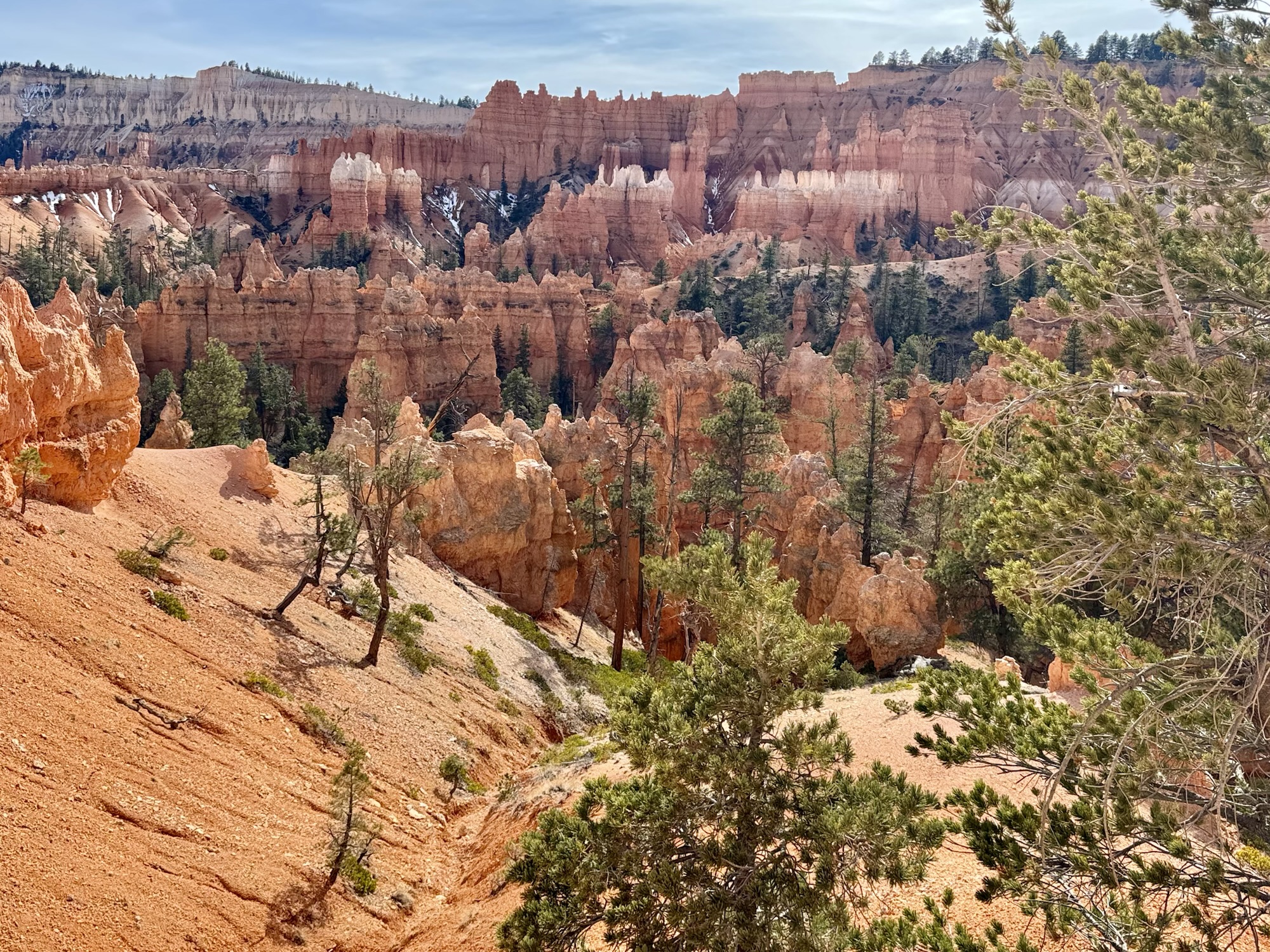
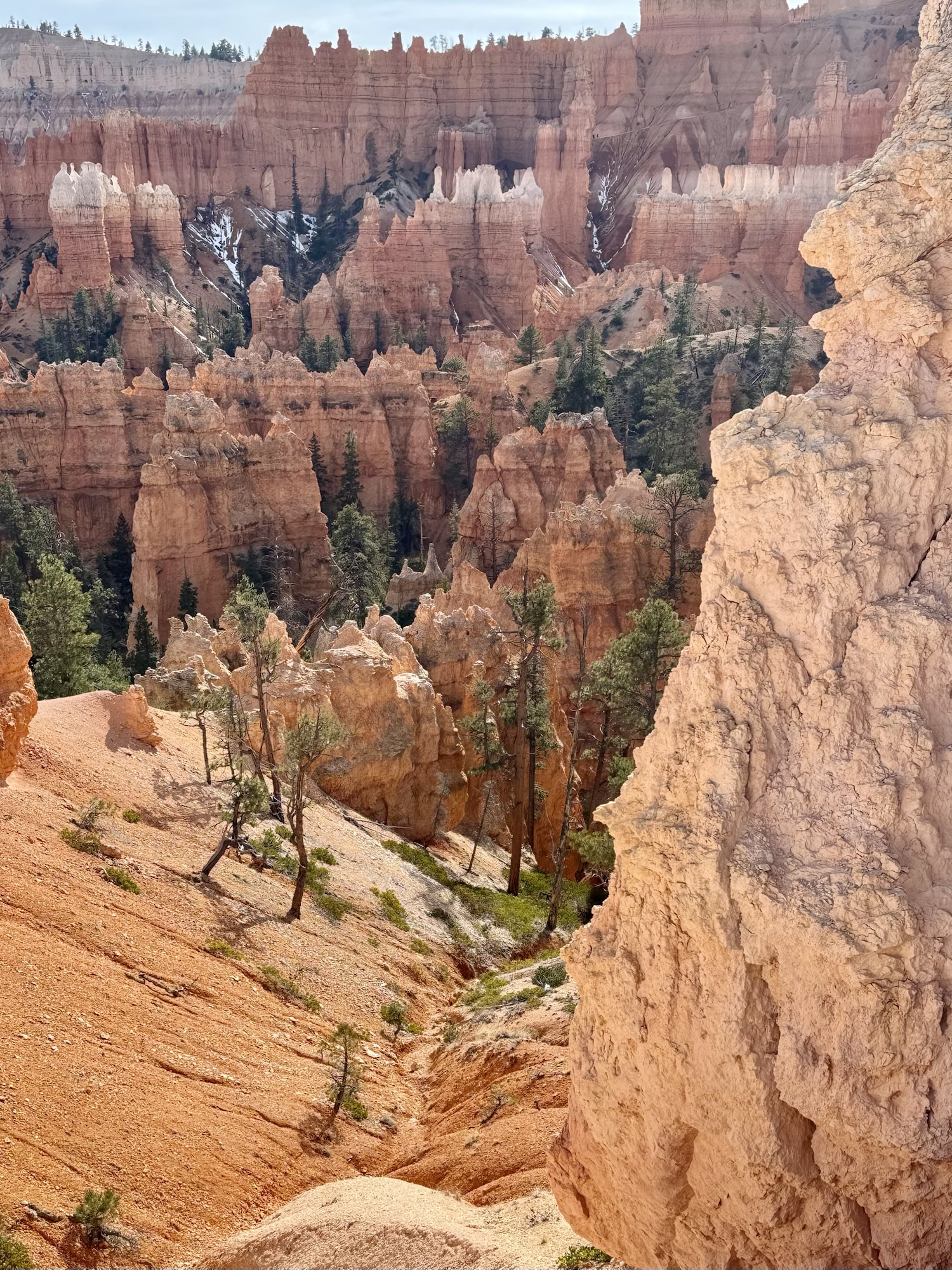
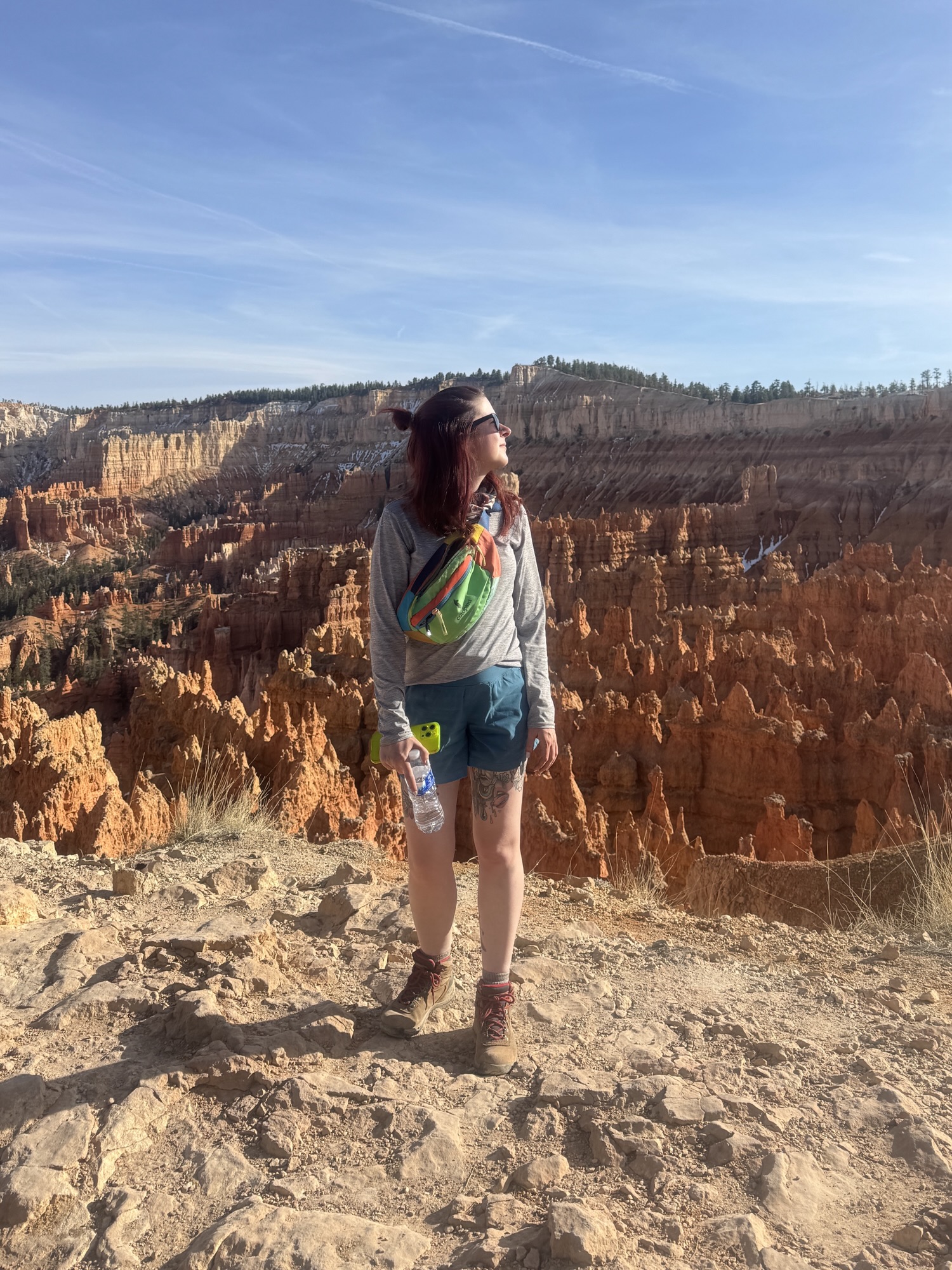
The main thing I’ve always wanted to do at Bryce was the squiggly trail down into the canyon that I’ve always seen plastered all over social media. That section of trail is on the Navajo Loop/Queen’s Garden trail, which starts in the parking lot for Inspiration and Sunset Points. This is another iconic area of Bryce where the most notorious photos are taken of the layers of bright orange hoodoos topped with white blaring in the sun.


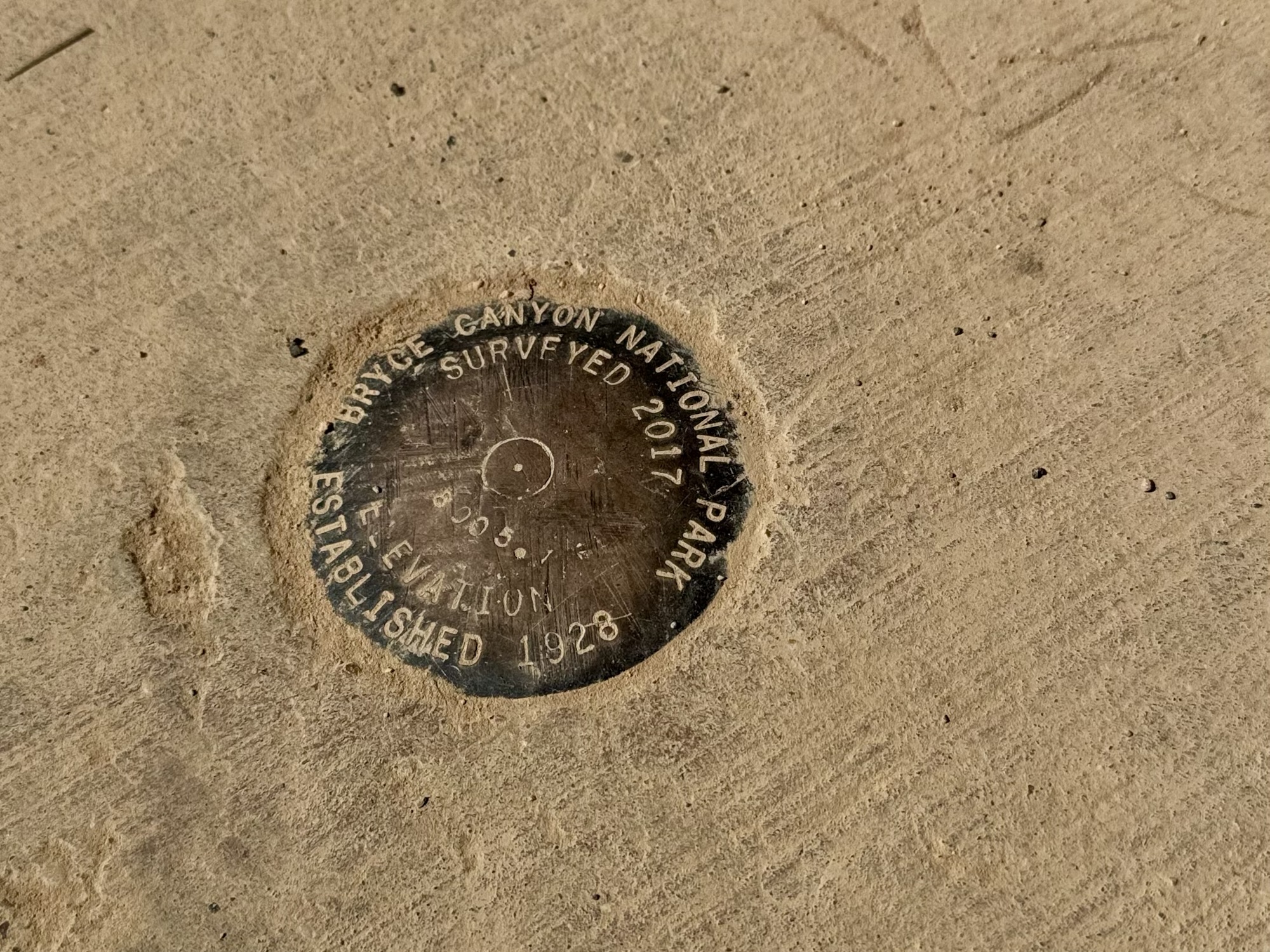
(You know I love a good marker!)
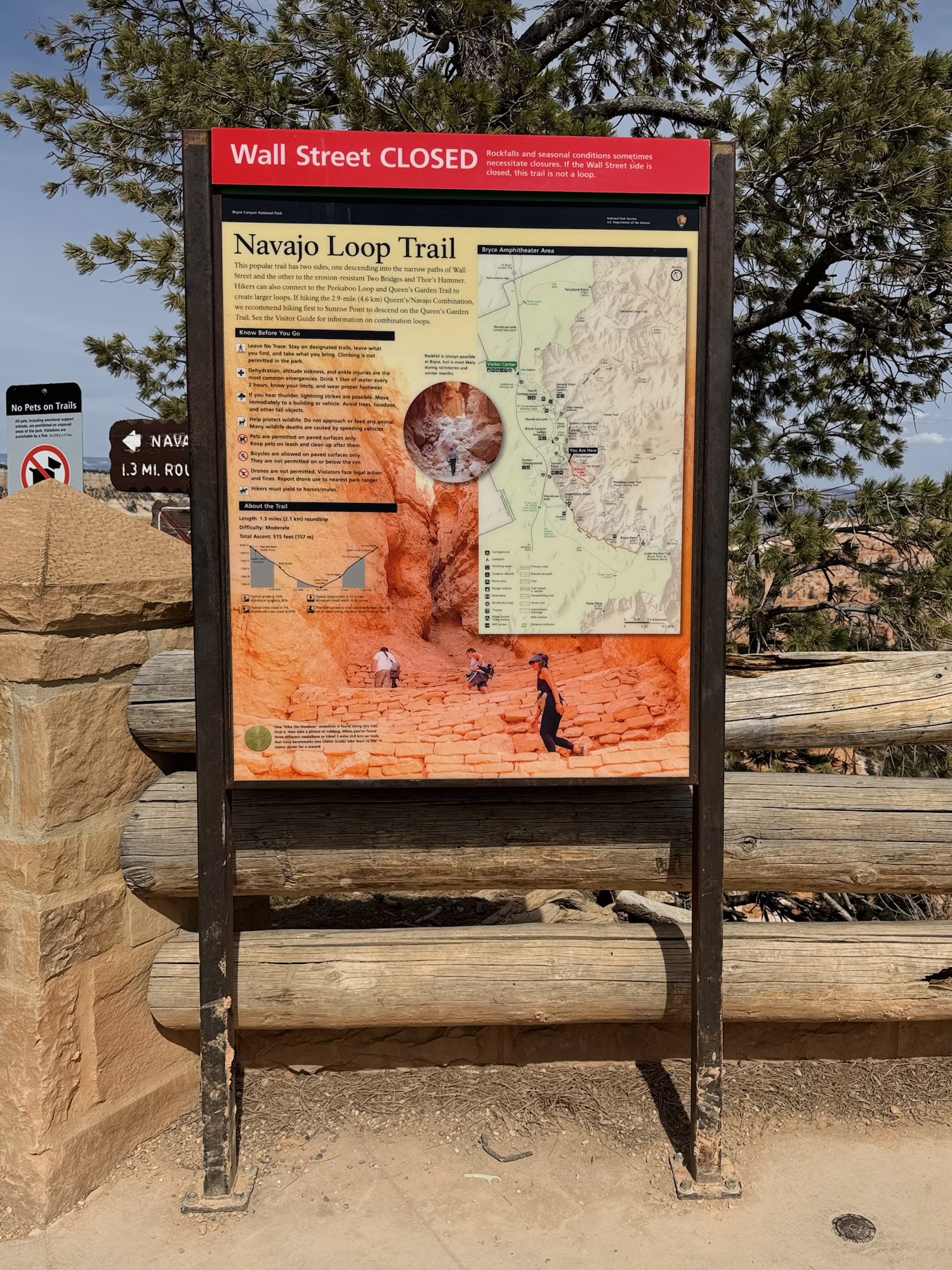
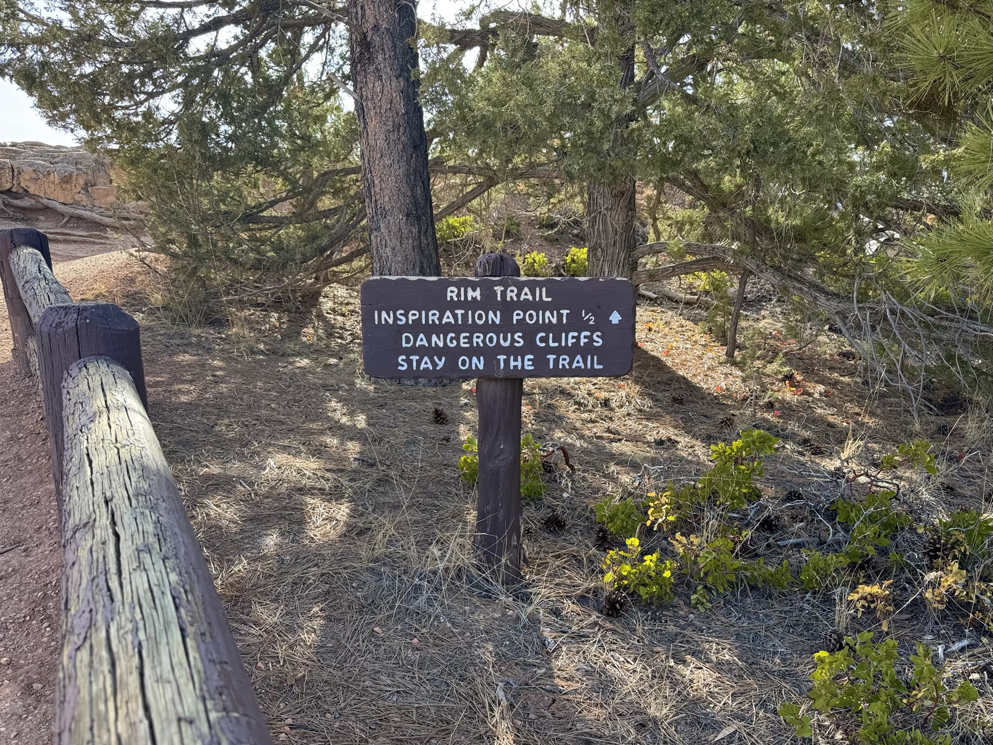
Bryce Canyon is one of the National Parks with a park shuttle, so there are a million signs around for people to read while they wait (and bake in the heat).
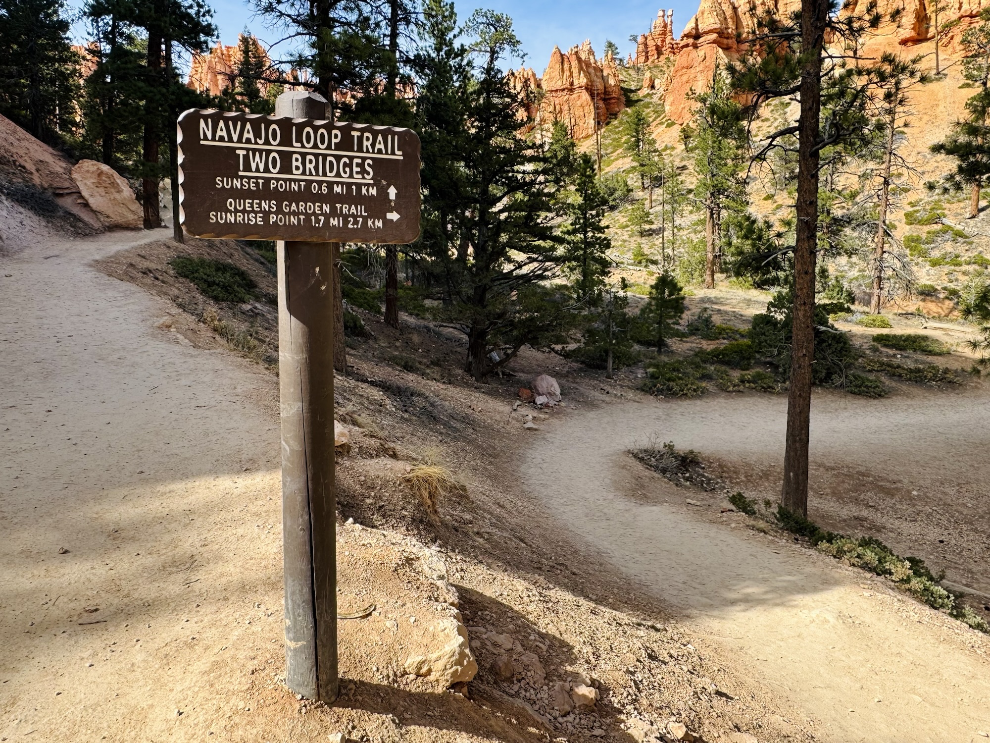
The Navajo Loop & Queen’s Garden trail is about three miles long total. We started at Sunset Point, took a bajillion photos at the overlook of the hoodoos blaring in the sun, and descended onto the trail from there. You can also reverse it and go to Sunrise Point first – and that’s actually what the Park recommends – but I liked this way so we could do the squiggly part of the trail going down instead of up.

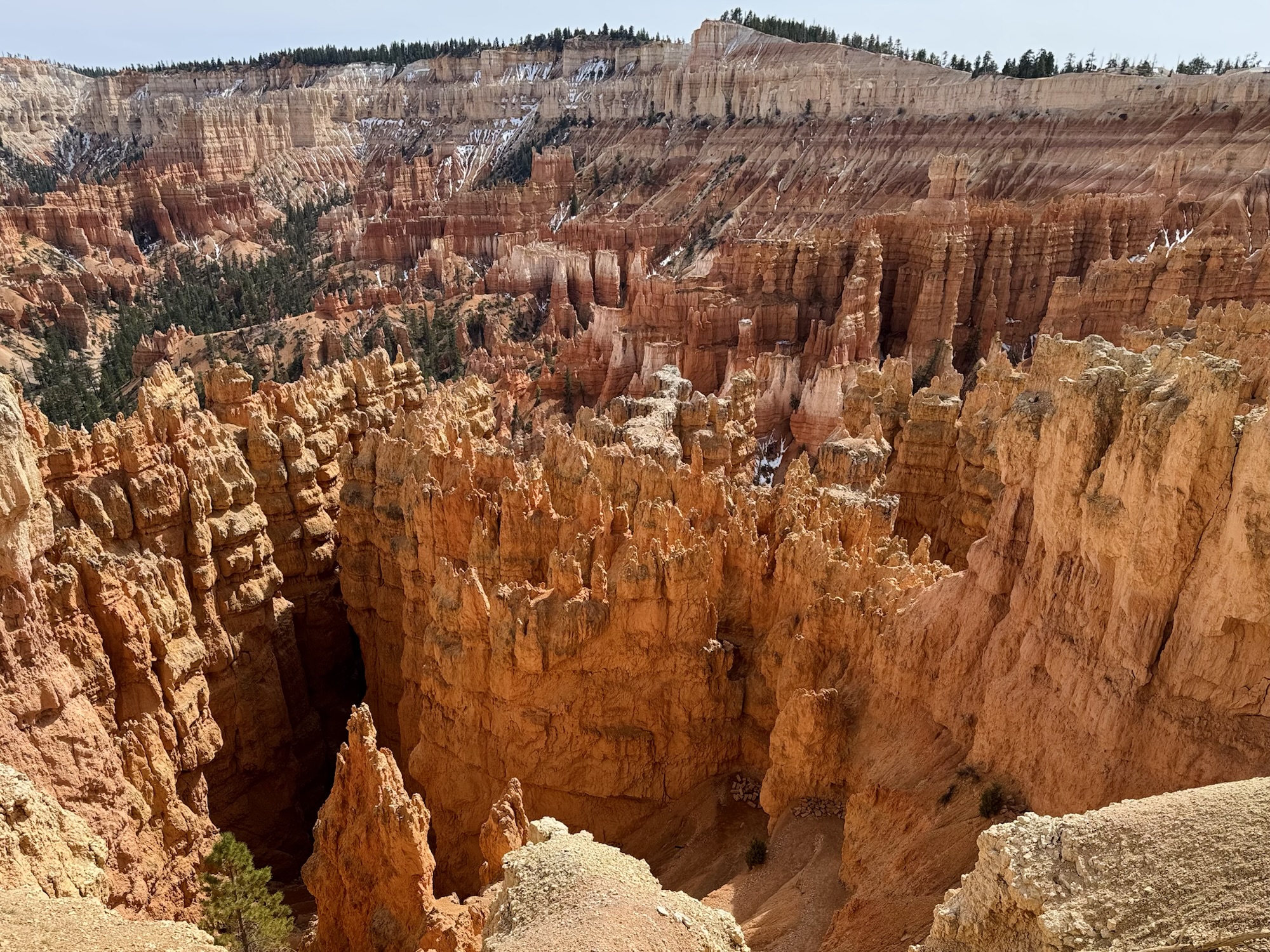
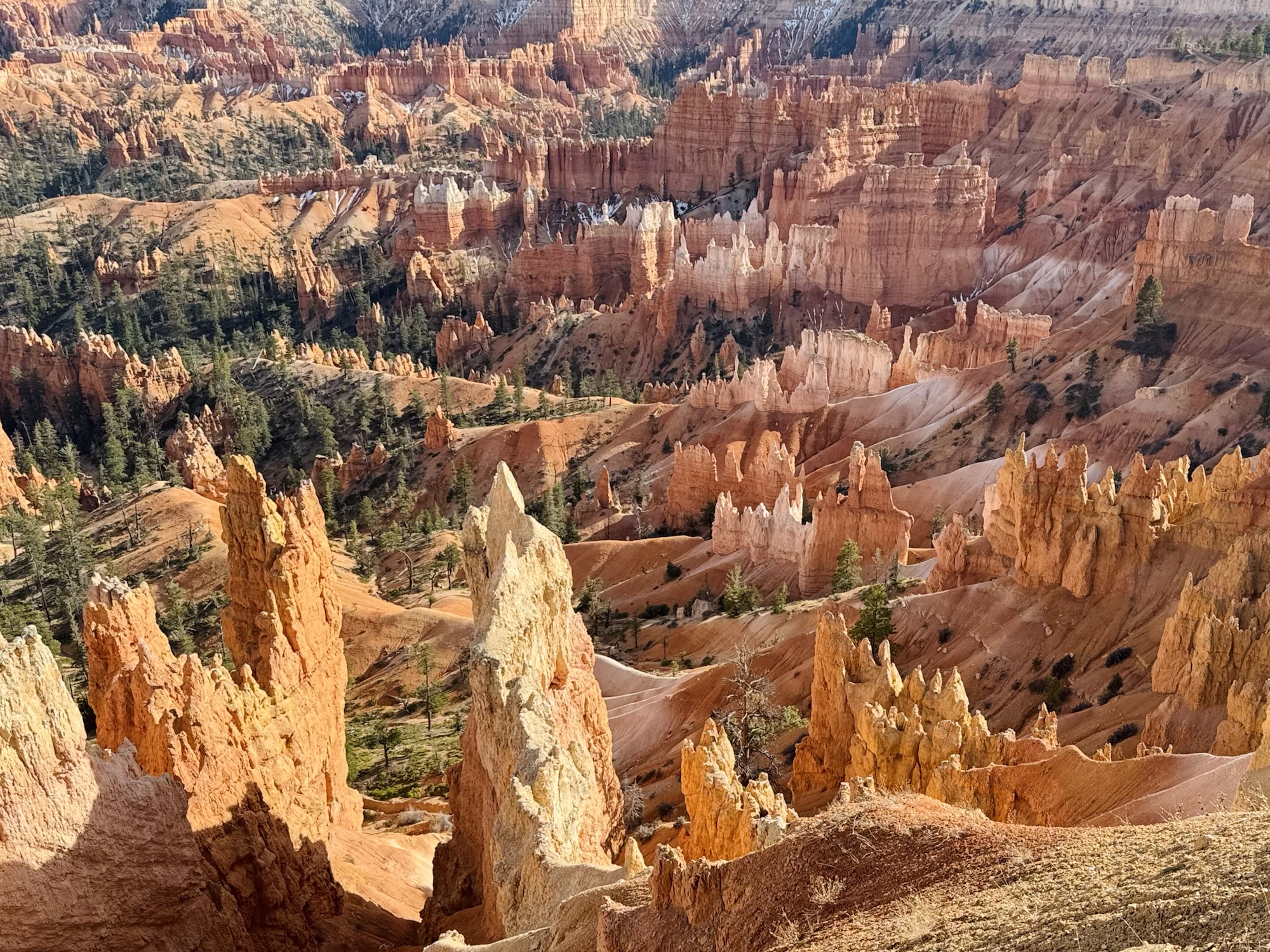
They call it the ~*Bryce Canyon Amphitheater*~
Navajo Loop + Queen’s Garden trail
There was still snow on the top here! I was really surprised by that. It looks so pretty against the orange hoodoos and dark green pines.
We learned that the hoodoos are shaped by their ice/snow tops melting, wearing away the sandstone, re-freezing, then causing cracks.

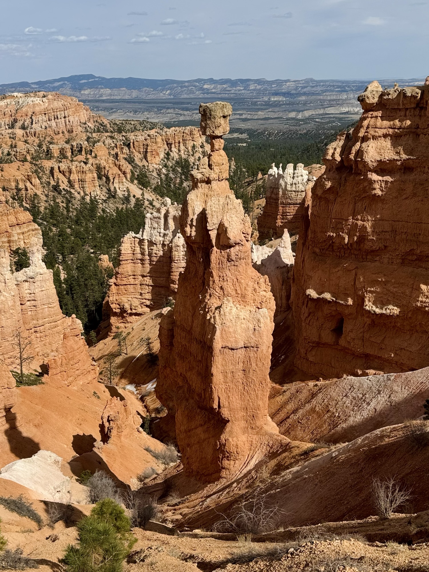

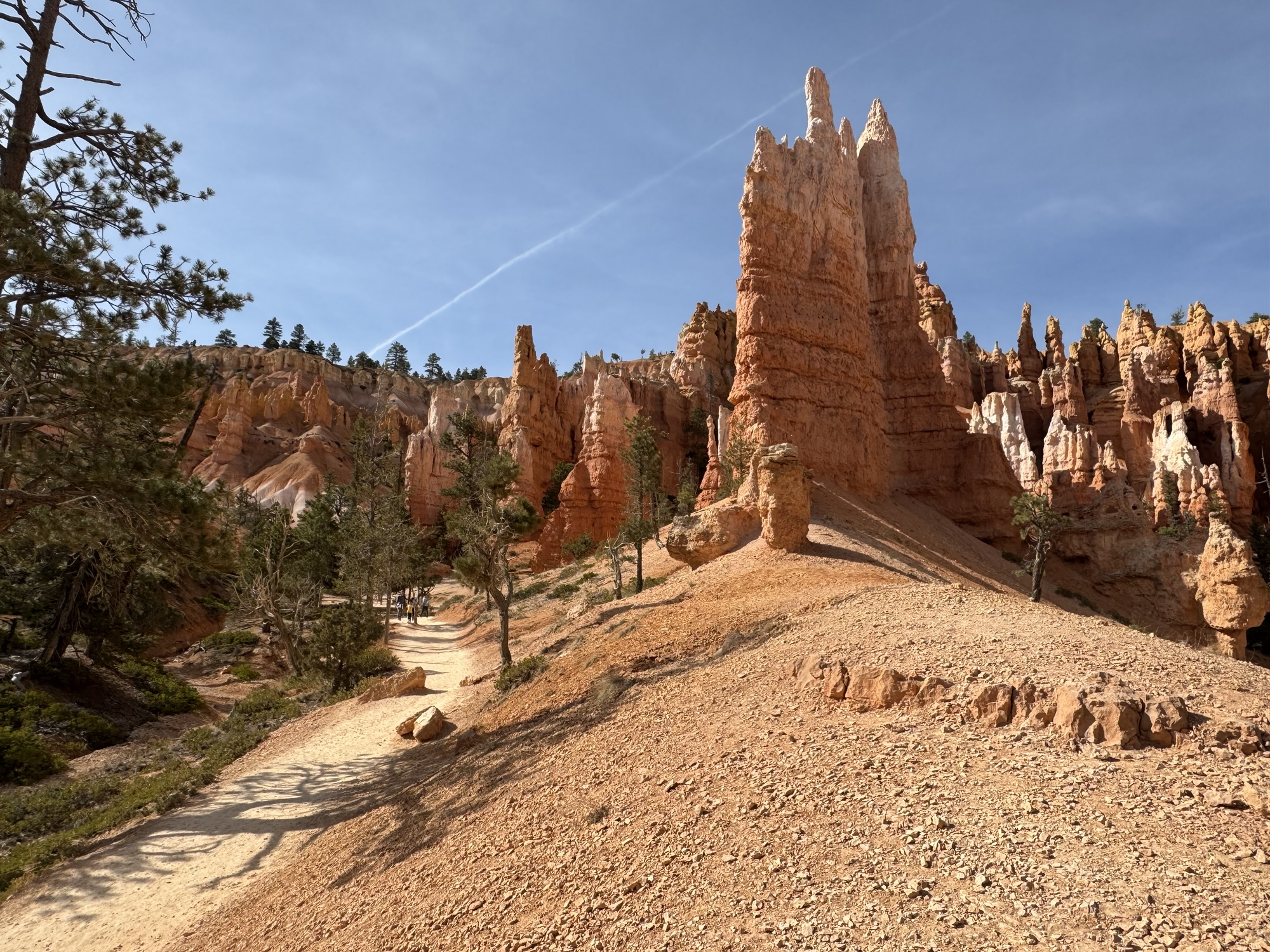
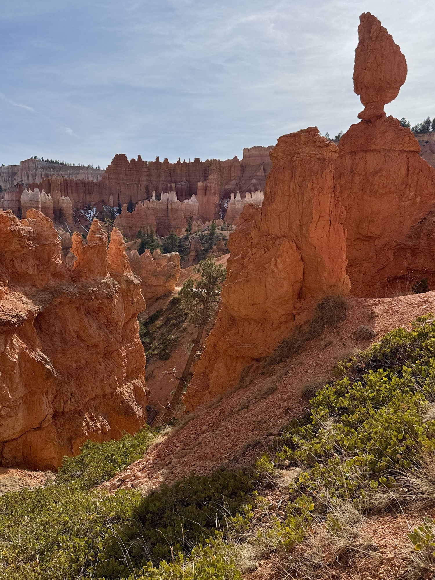
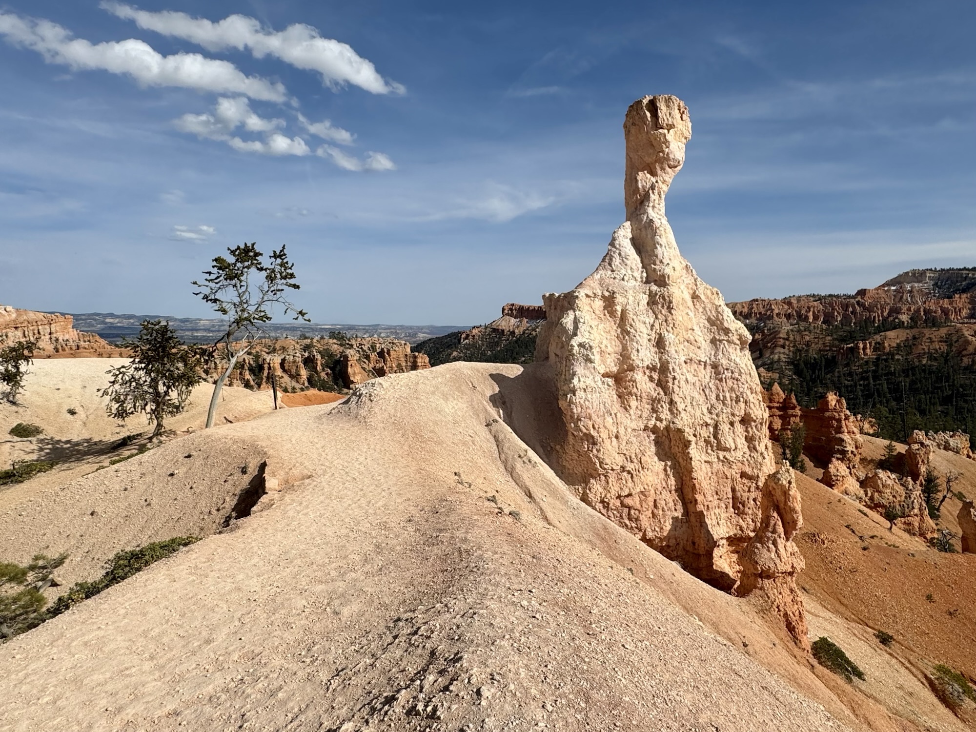
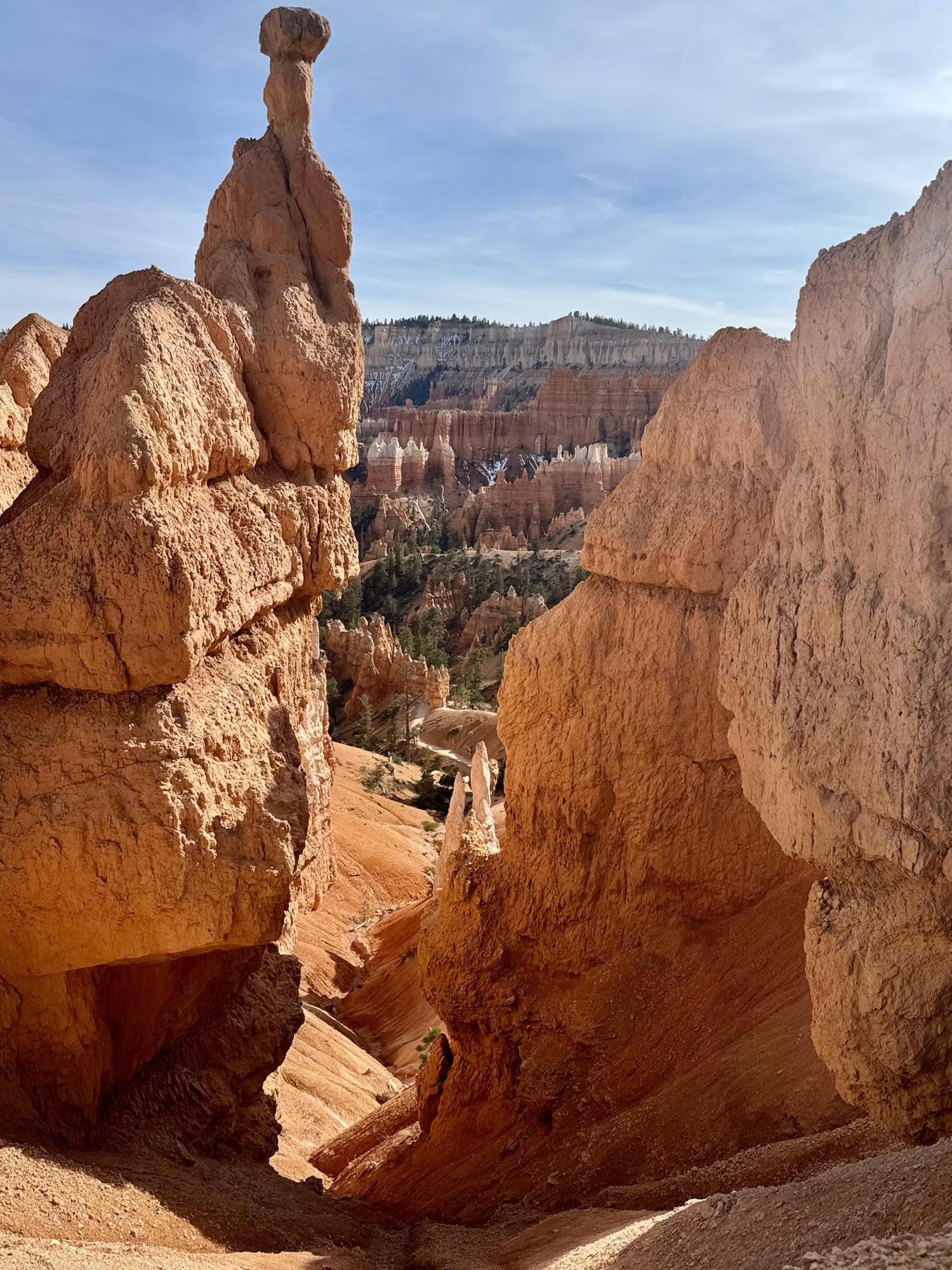
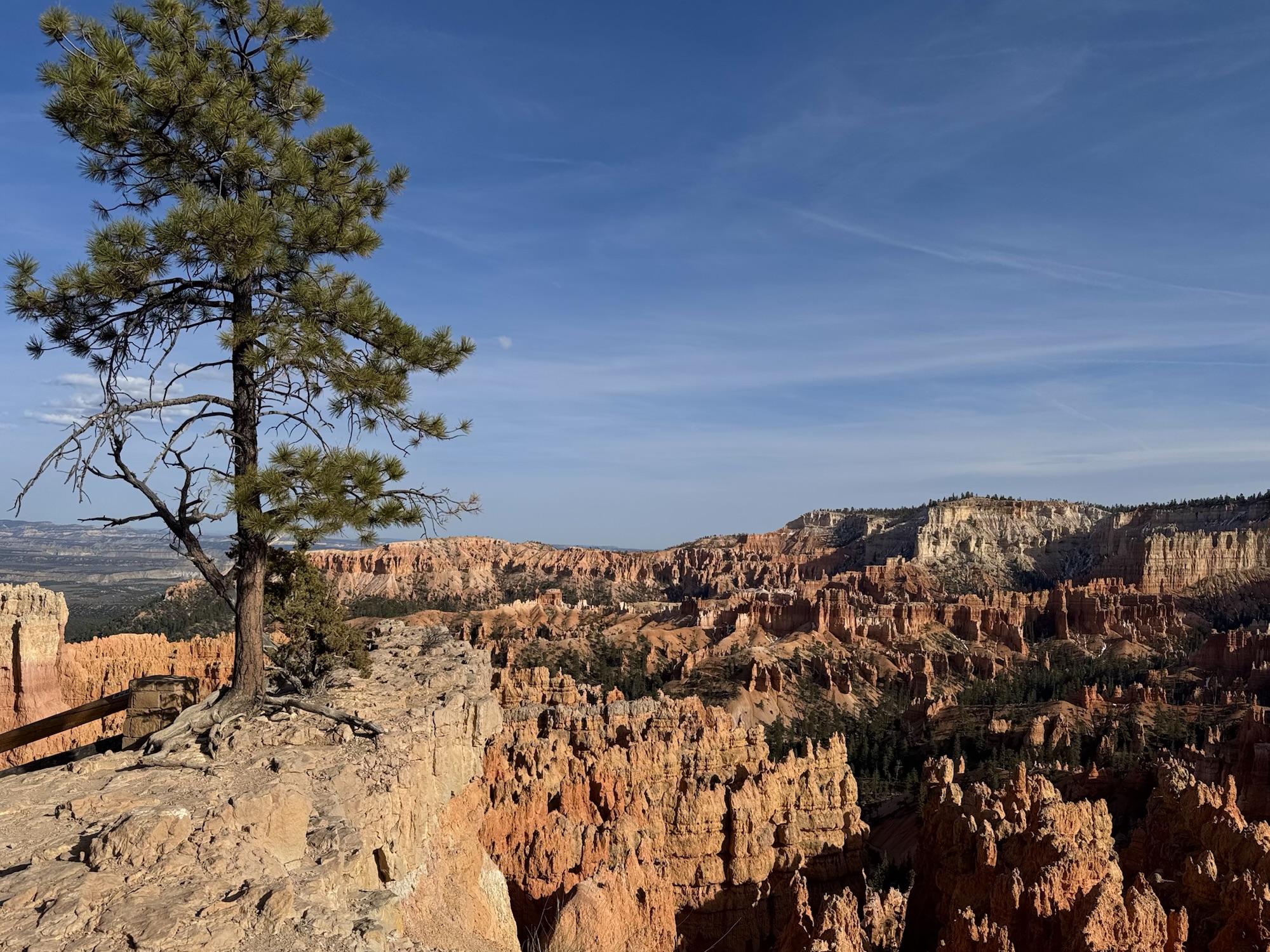
This this Thor’s hammer! It’s one of those iconic Bryce things that’s pictured in all the souvenirs they sell.
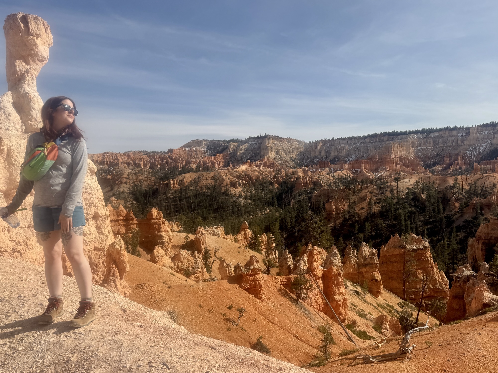
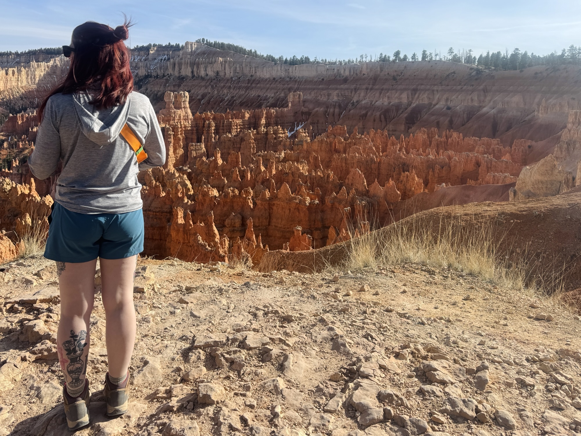
And here’s the view that I was dying to see! Love being able to cross this off the list. It was so fun to go back and forth down into the canyon.

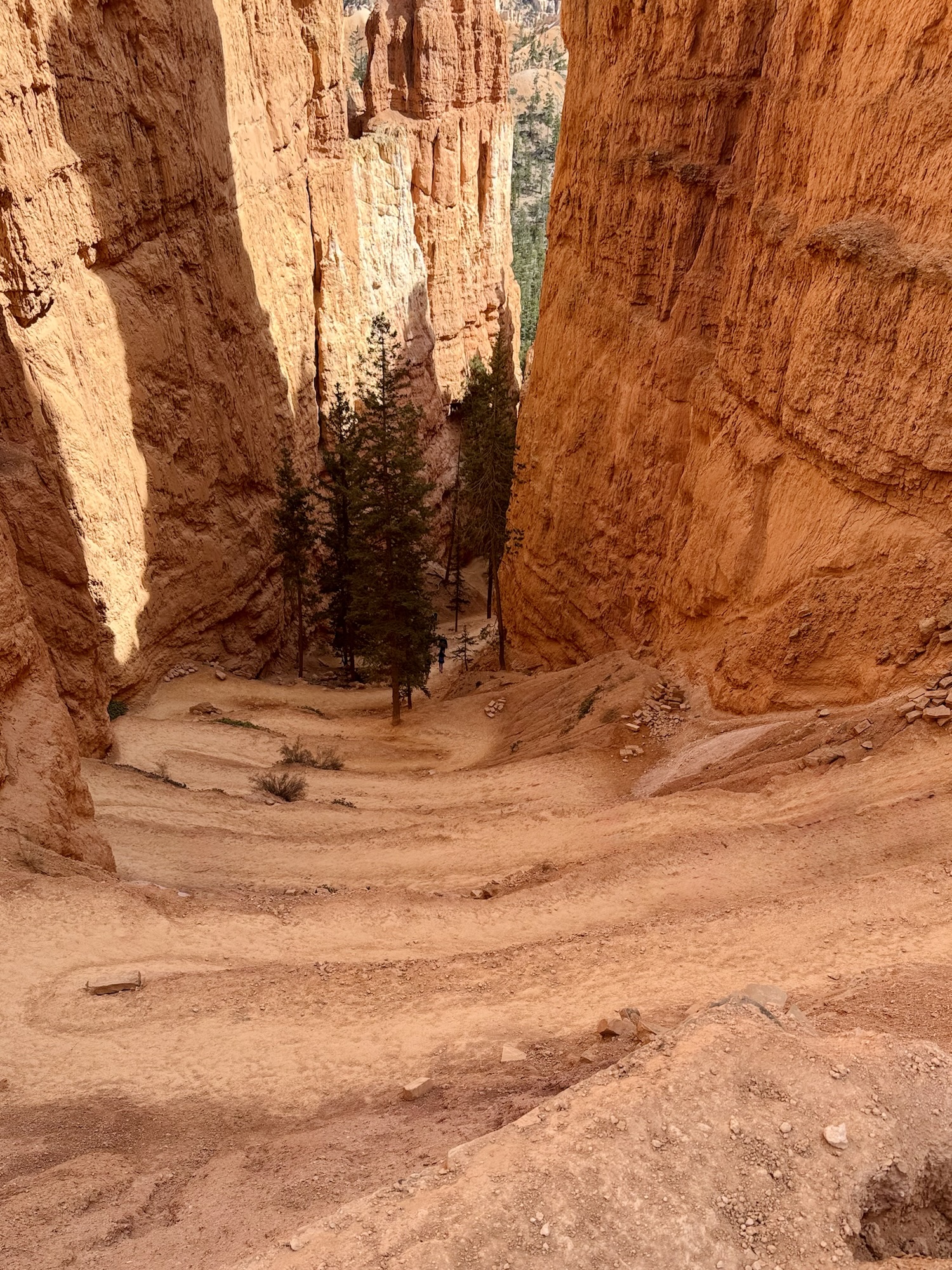
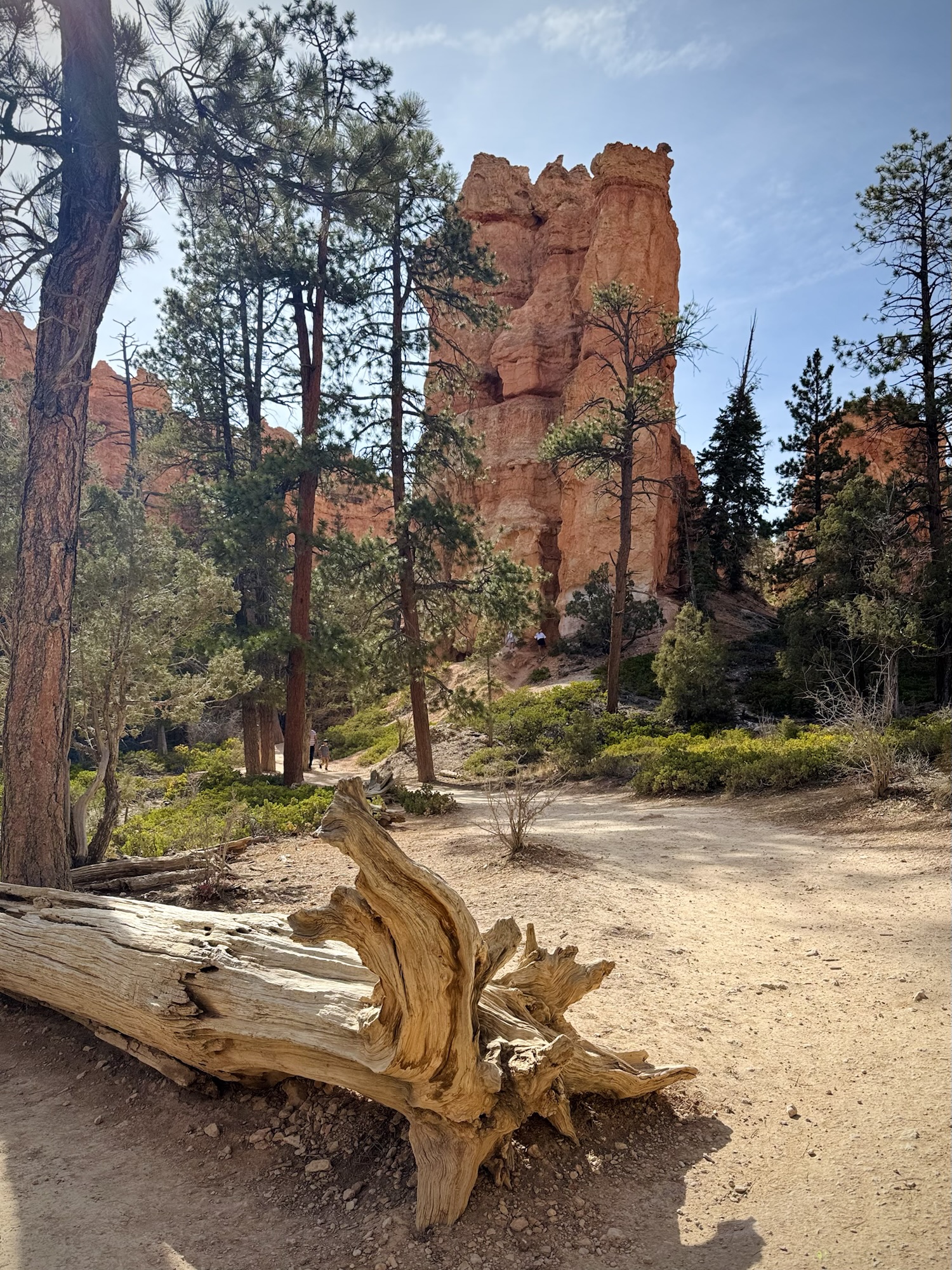
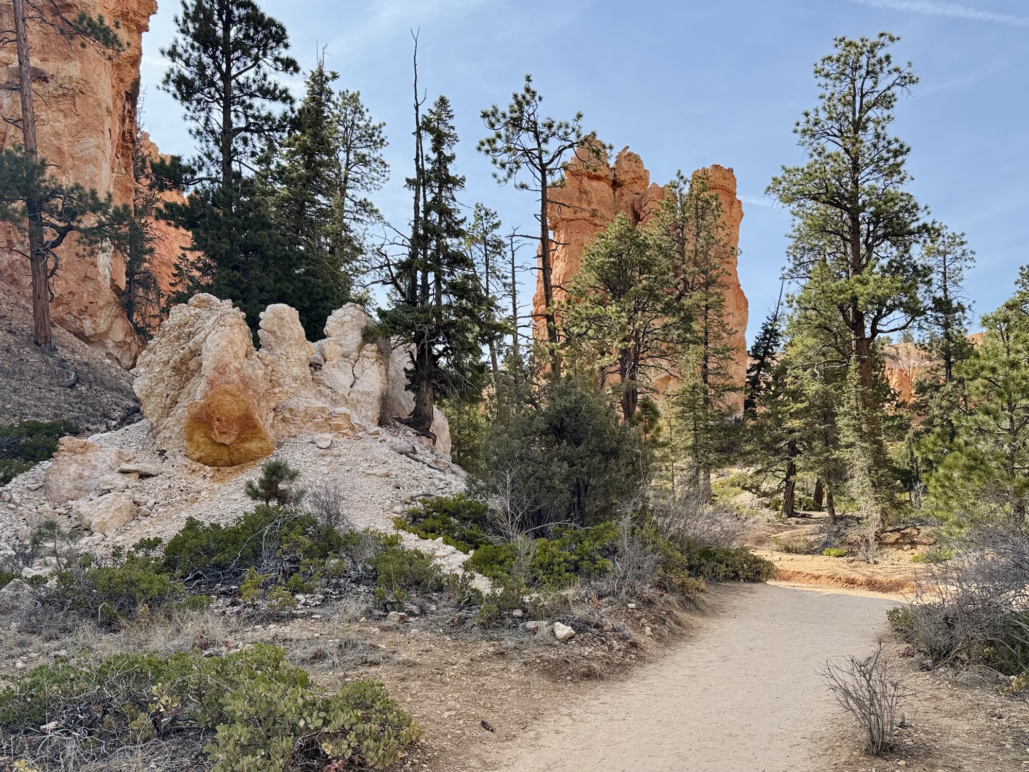
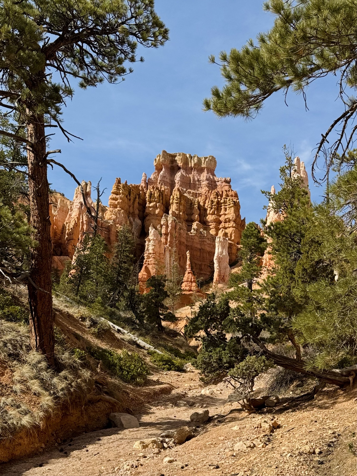
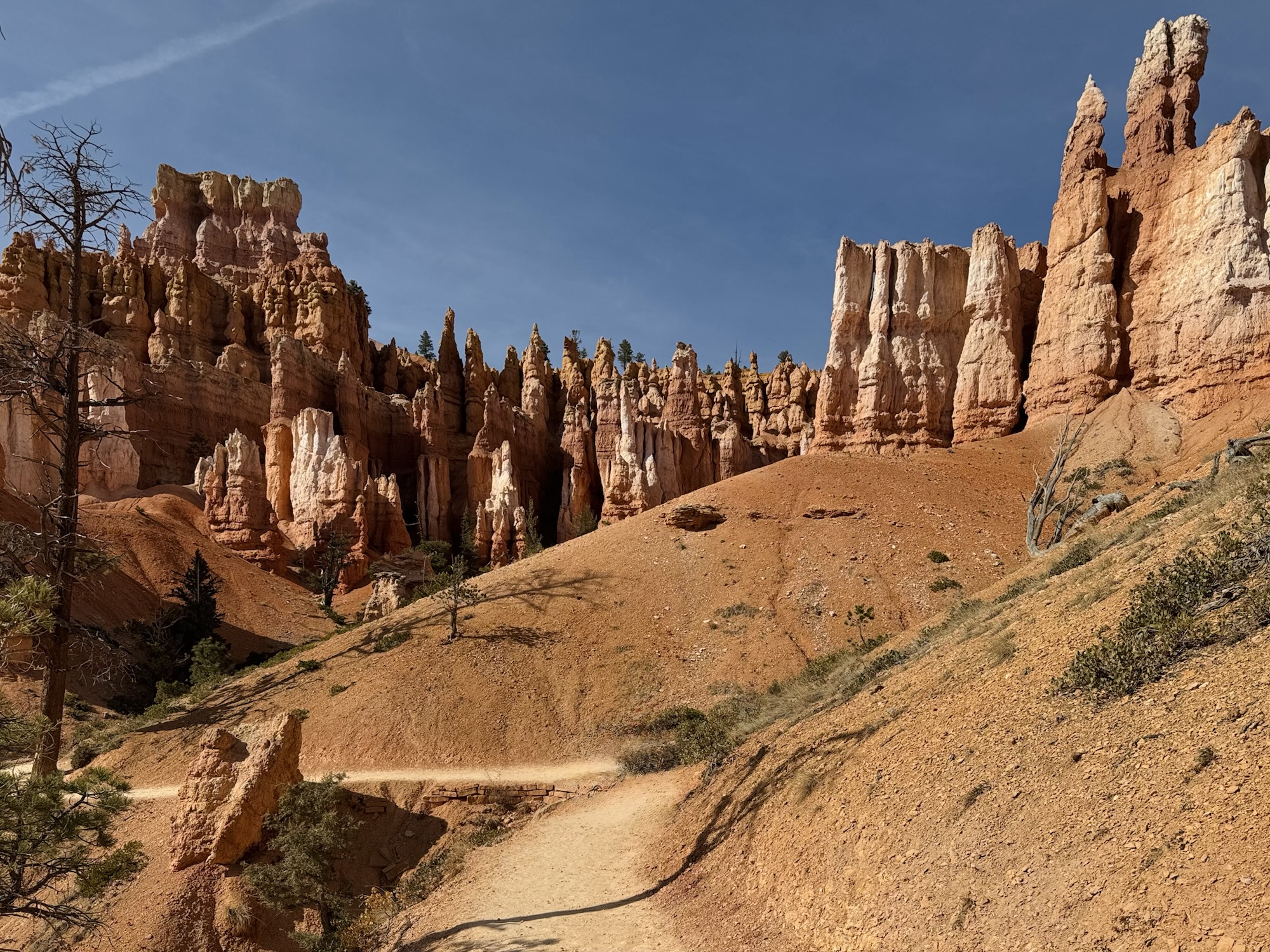
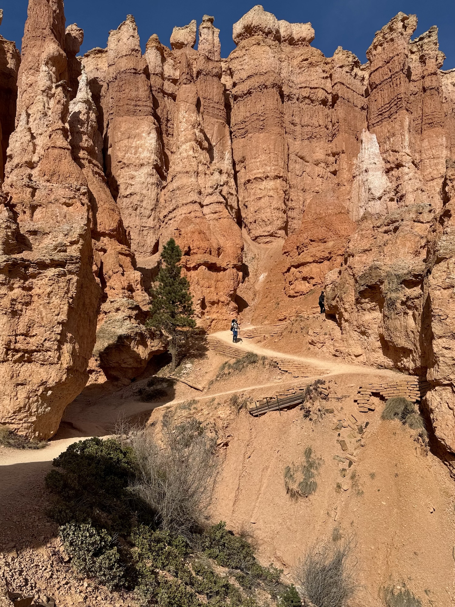
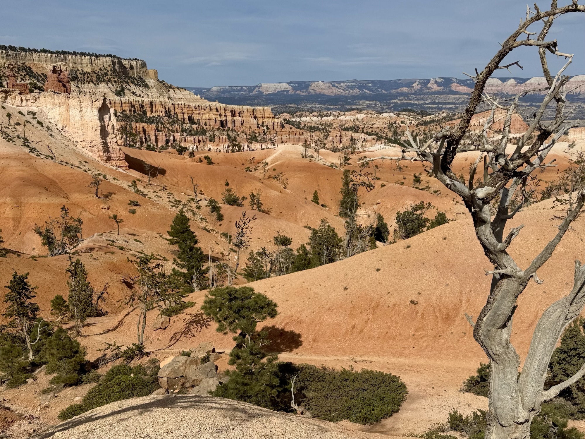
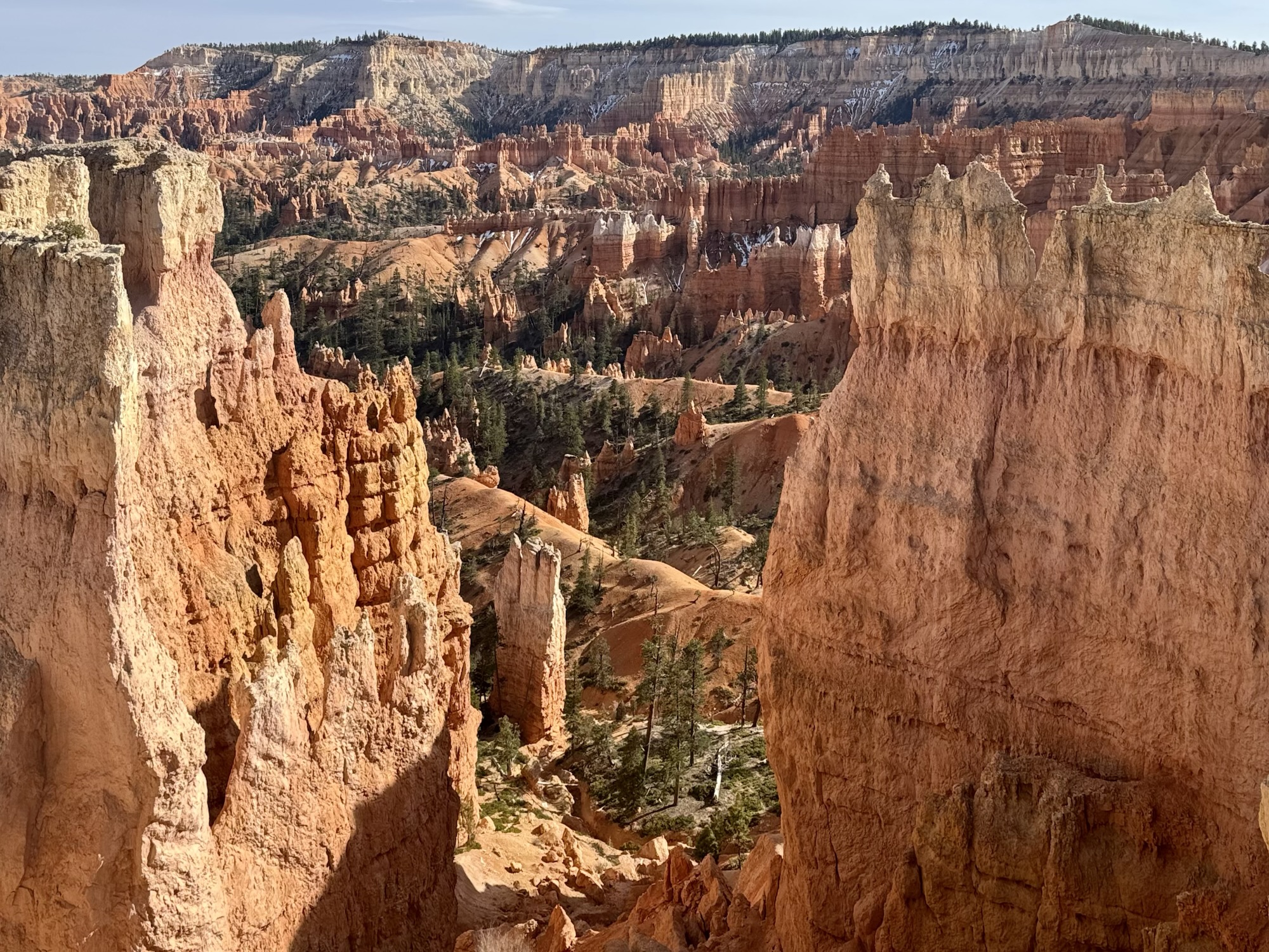
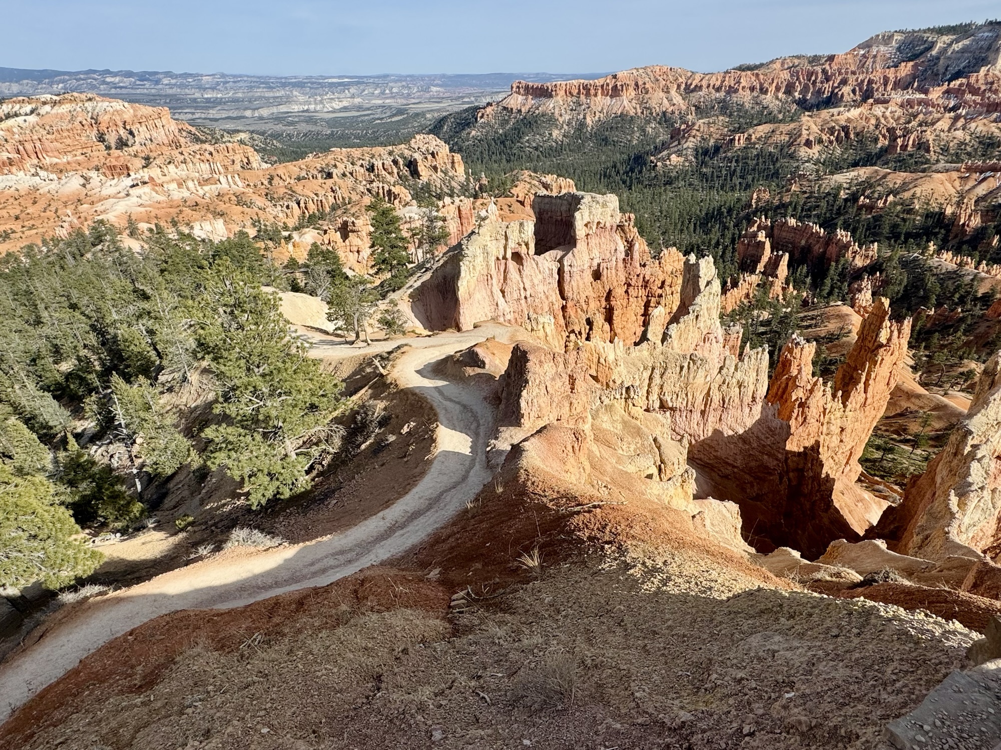
The trail continues on super flat packed down sandy soil as per usual in Utah’s parks and we kept admiring allll the hoodoos and walking between walls that made us feel super tiny.

Ya know, one of the great things about having this blog is not having to feel bad for being self-indulgent for using it as my own personal photo album. … because it is. 🙂


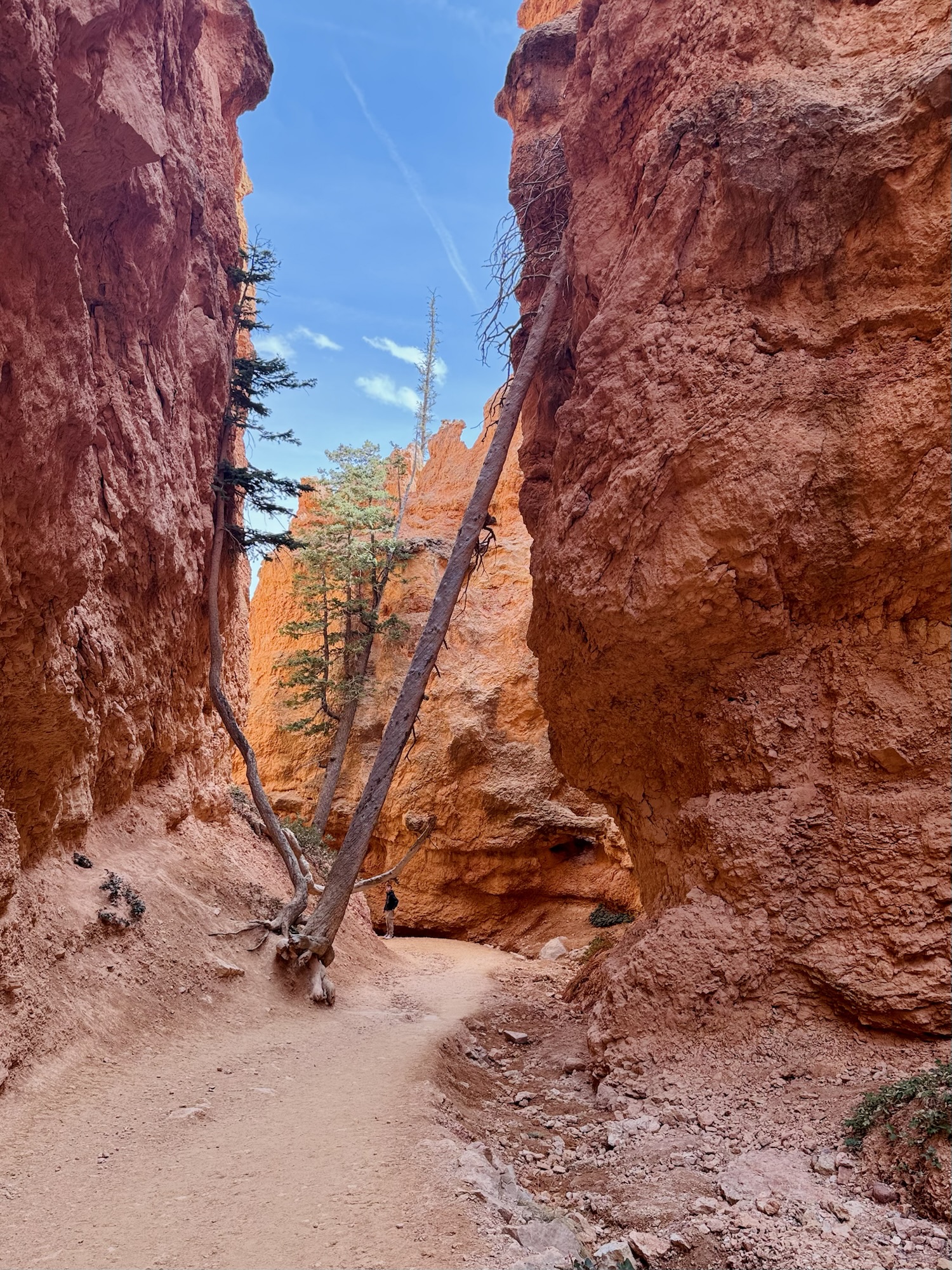
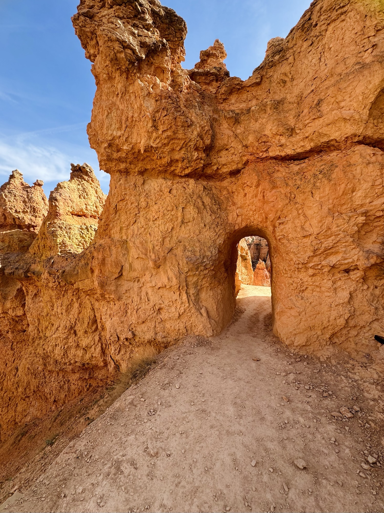
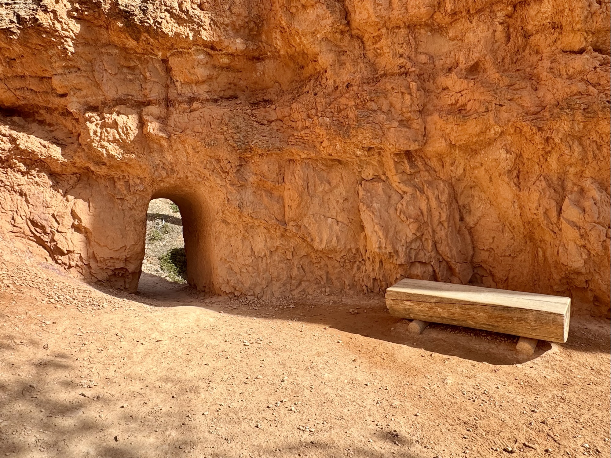
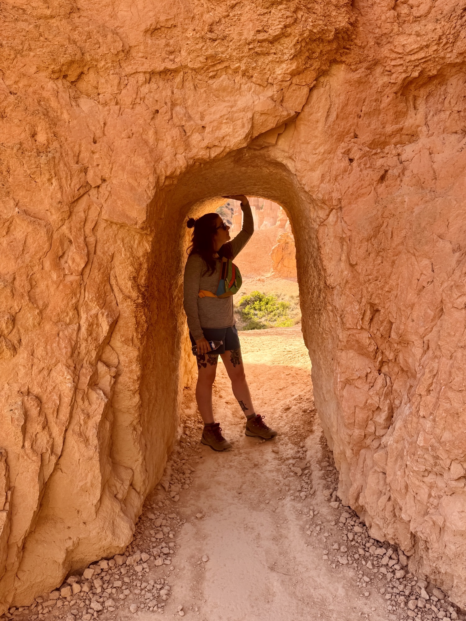
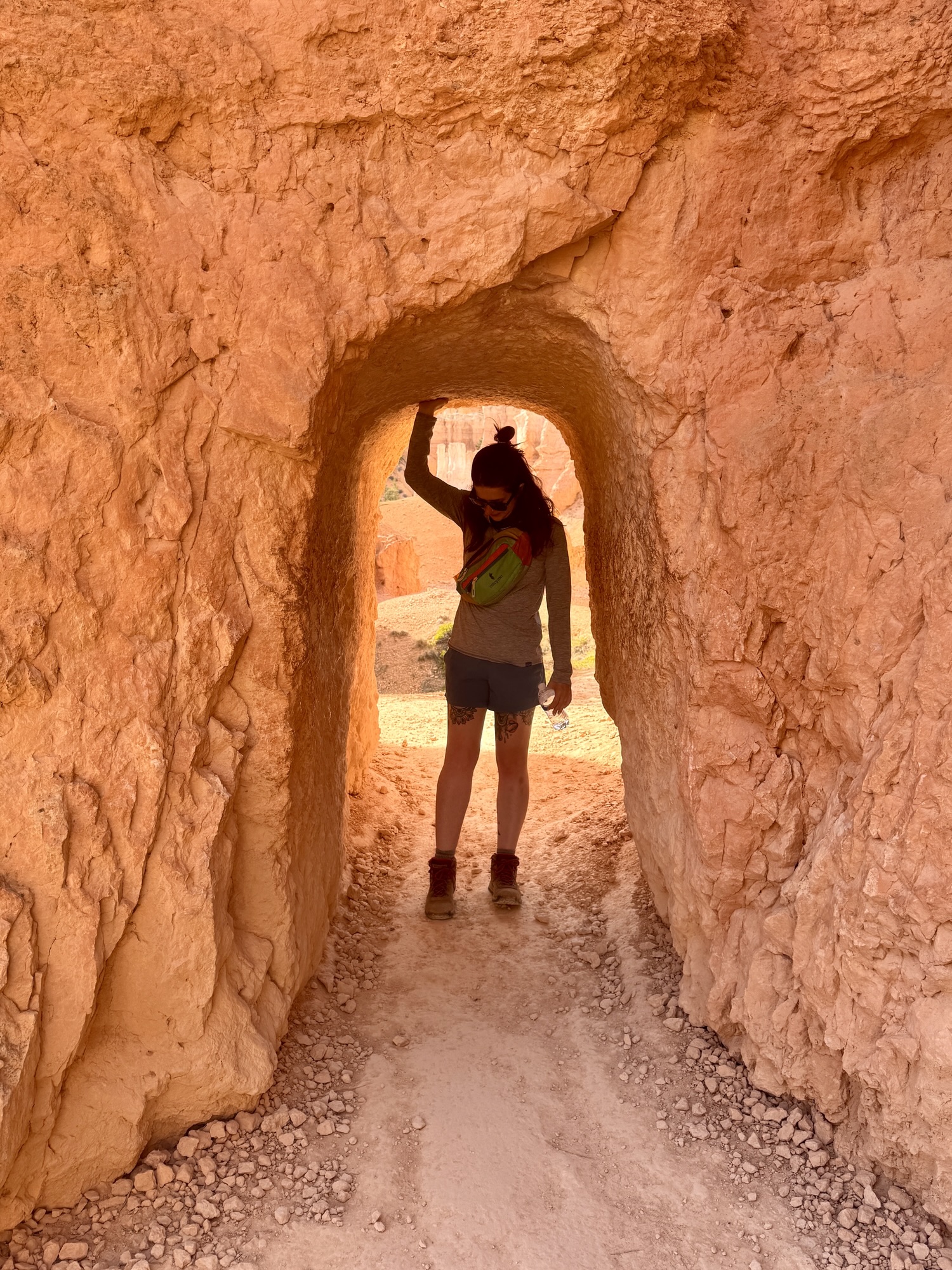
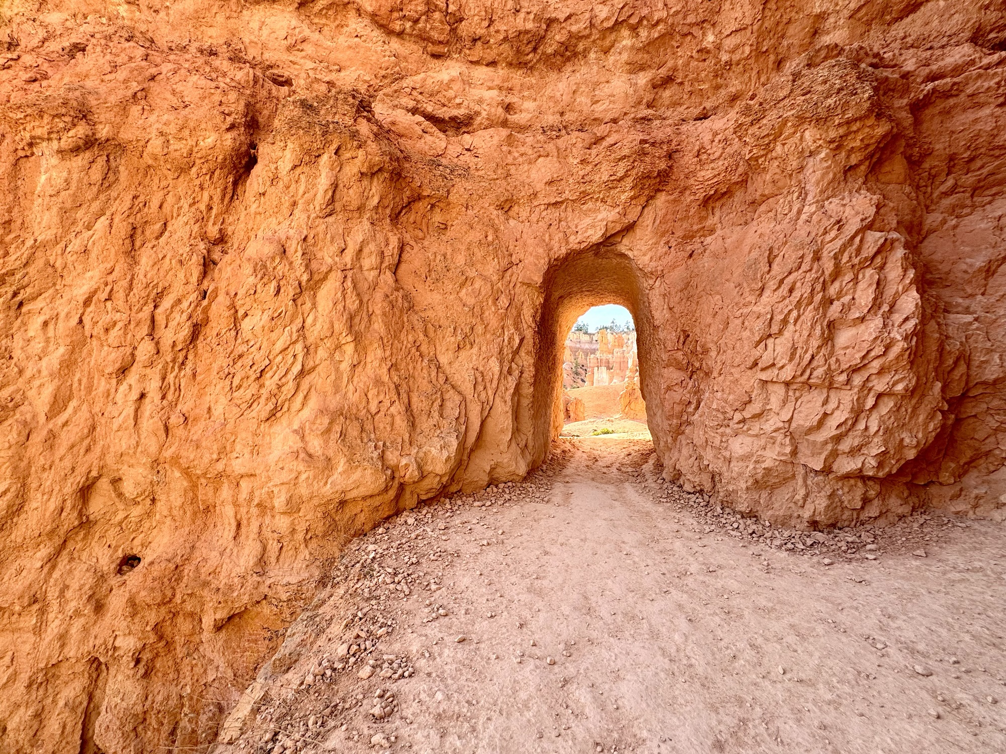
There were a couple of tunnel holes built through the sandstone and I was pretty obsessed with them.


Bryce Canyon is the top layer of the Grand Escalante Staircase (with the Grand Canyon being the bottom), so when you’re up here you’re the king of the world. The rim that this trail follows is ~8000 ft above sea level.
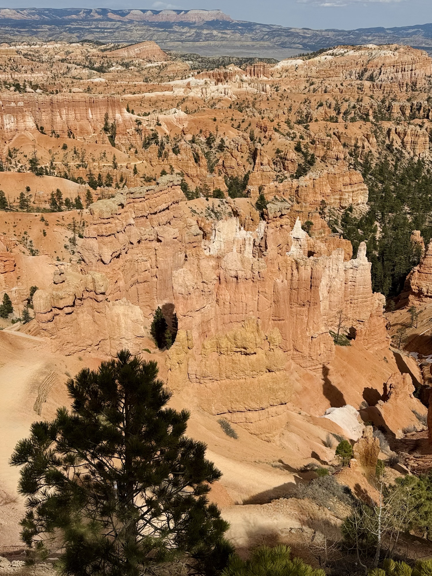
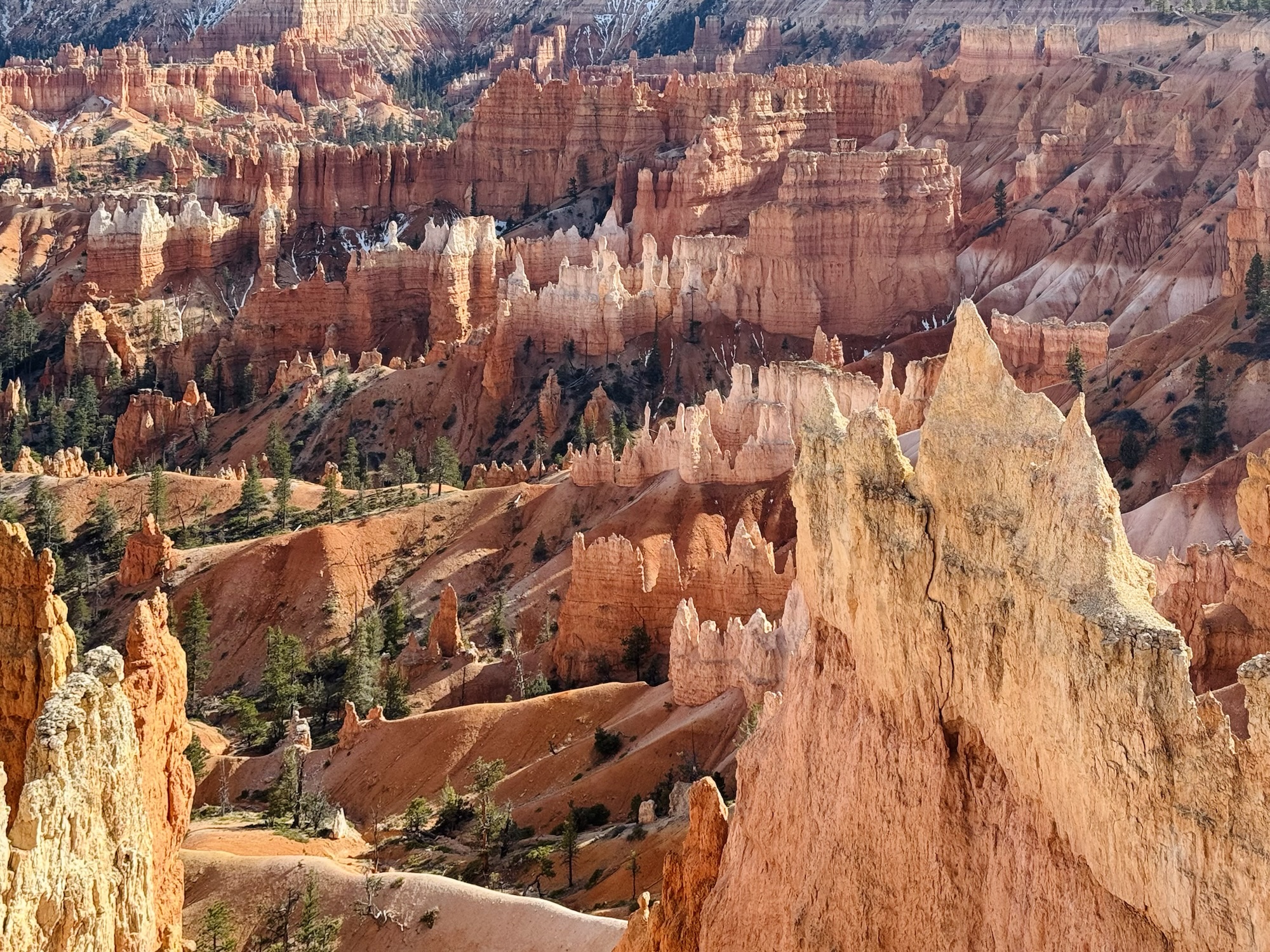
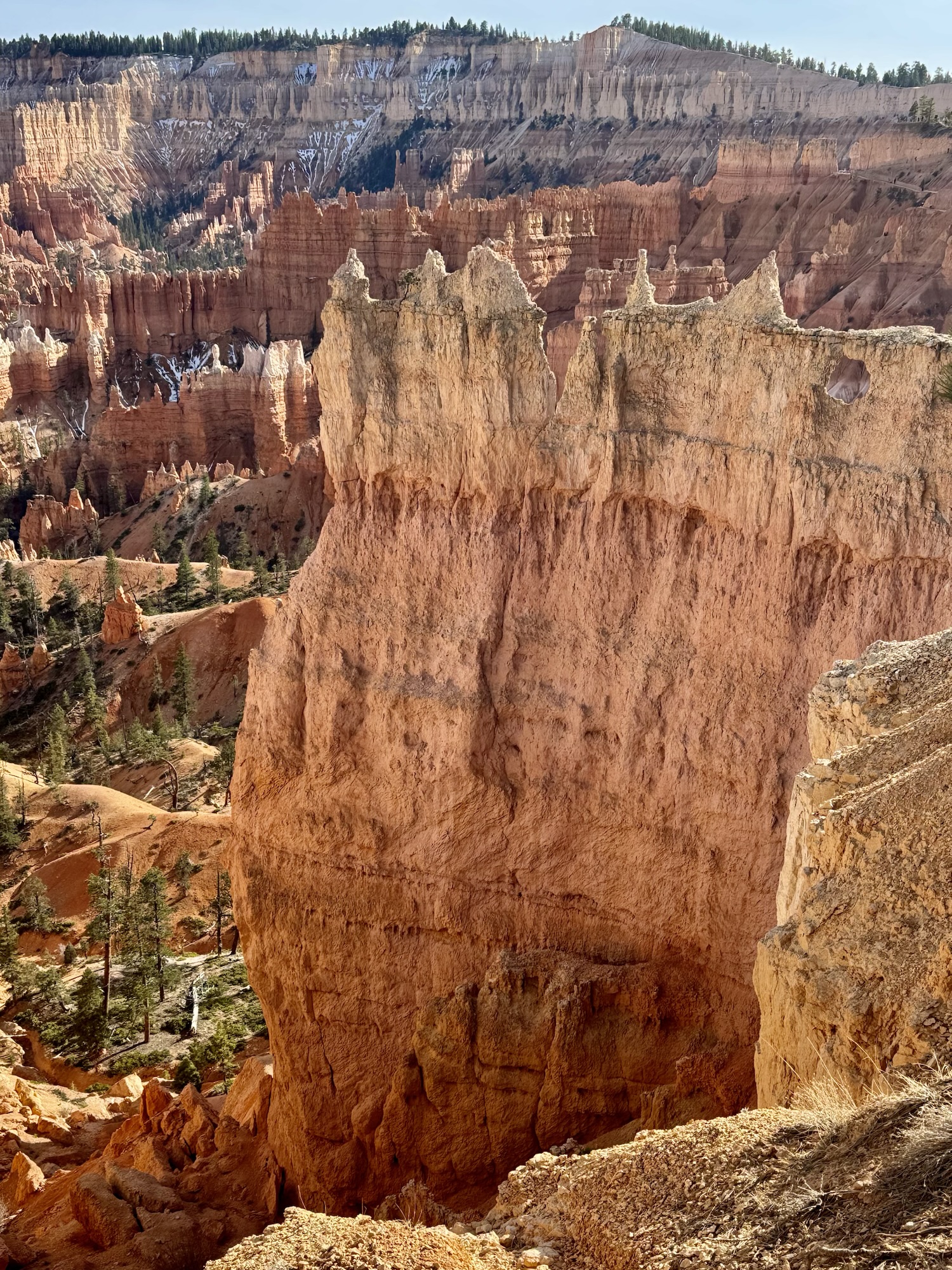
That super white tower is the highest point on the trail. The lighter the sandstone here, the higher it is.

Tree just hanging out on a sandstone island…

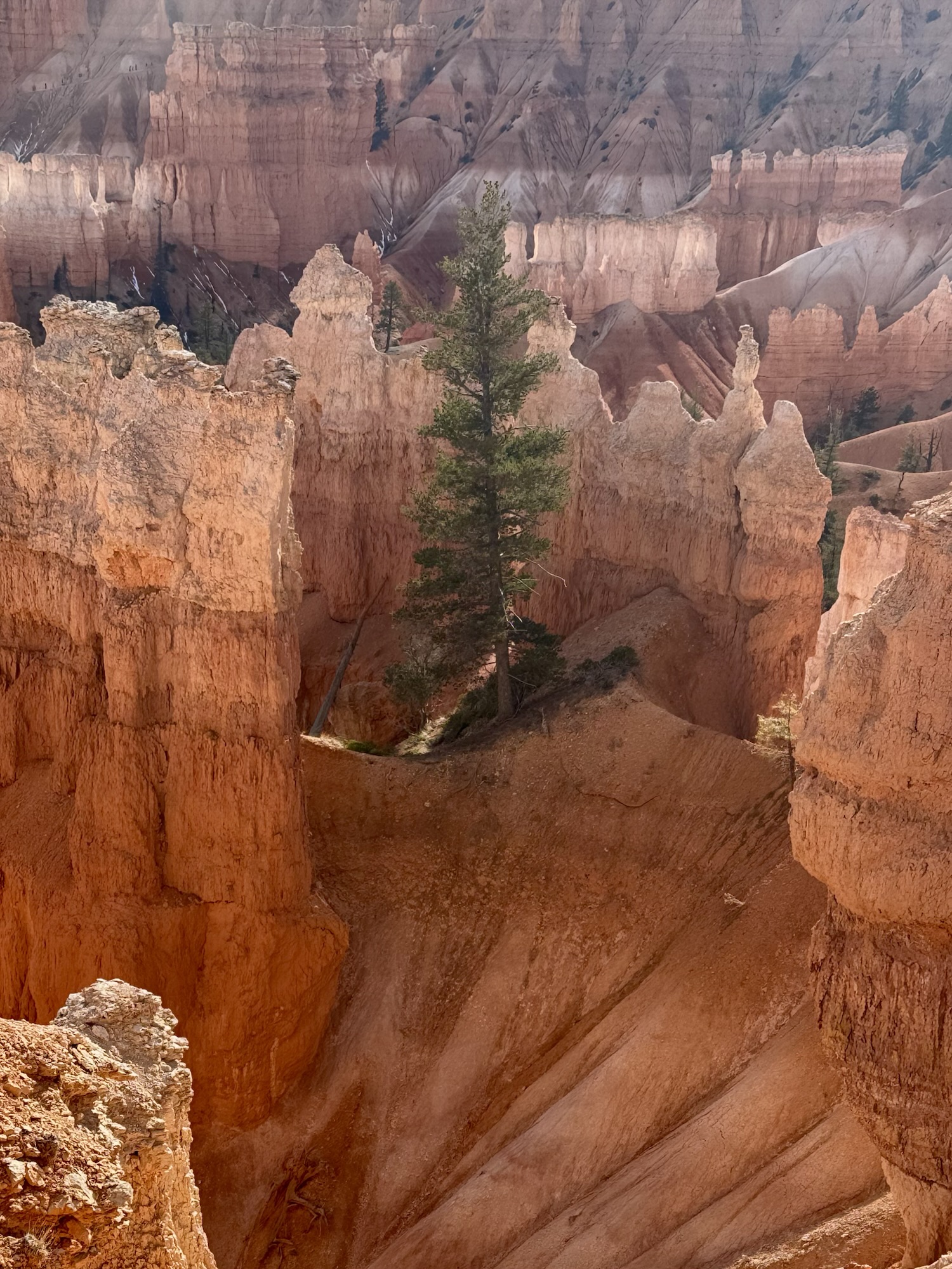

The scale here is so grand. When you’re standing there, it totally just sucks you in.

At the end of the trail when you’re coming up on Sunrise Point, there’s awesome photo opportunities of the canyon – with no huge crowds like at Sunset Point at the beginning, or Sunrise Point just a little ahead. So don’t worry if you don’t get the picture you want with the weight of 100 tourists breathing down your neck, you can do it here in peace.
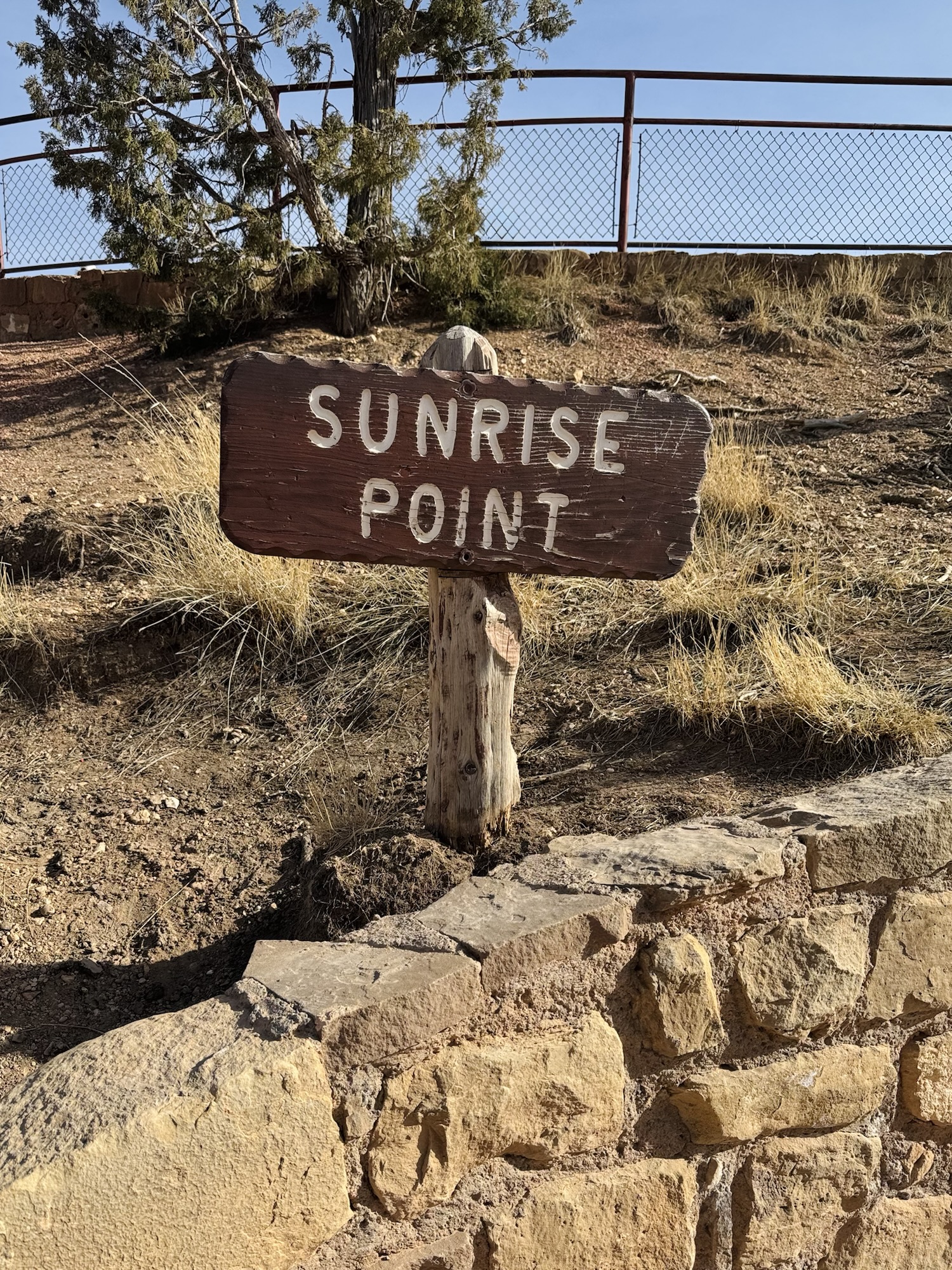
Sunrise Point
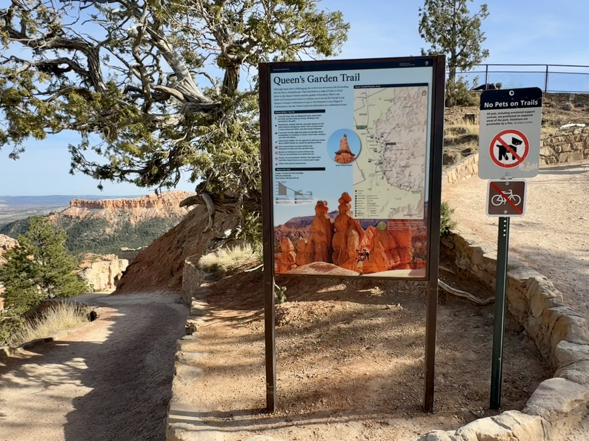

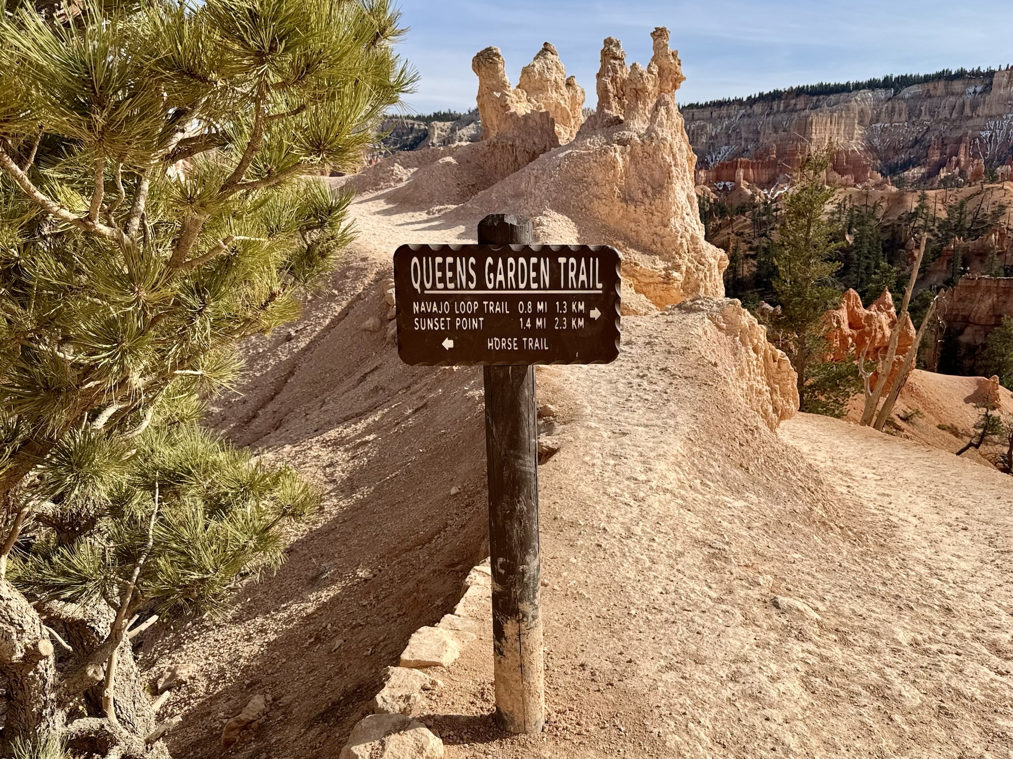
The Queen’s Garden trailhead sign is where you’d enter the trail if you went in the opposite direction we did, like I mentioned before.
It’s surreal to visit Sunrise Point after completing those three miles, then to be able to look back down on the trail from above. It doesn’t feel possible to have been down in that gorgeous canyon. Just no way.

“Paiute Indians inhabited this region for hundreds of years before the arrival of European Americans. A sacred oral tradition of the Paiutes states the the hoodoos are ancient “Legend People” turned into stone by Coyote as a punishment for bad deeds. It is the custom of the Paiutes to tell these stories only during winter season. Spring, summer, and fall are for hunting, gathering, and storing food. It is our of respect for this custom that the authentic story is not repeated here.”
The trail ended and turned into a sidewalk back at Sunrise point, leading you back to the parking lot at Sunset Point with continuous views of the canyon and benches to sit and admire it along the way. Inspiration Point is alllll the way at the other side of the parking lot.
Inspiration Point

It was definitely inspiring. My favorite view of these is most definitely at Sunrise Point though.
Inspiration Point does have a designated path that’s obvious to follow, but there’s nothing keeping you from walking more toward the edge like I am in those pictures. Before coming here, we’d read that there have been multiple deaths in this spot and we kept them in mind while we were here in person… but still, I didn’t find it to be anything out of the ordinary and there was waaaay more space here than down on that trail.
But it’s wild, not even a month after we left, there were two deaths at this exact spot. I wonder if it’ll look different when we go back with beefed up safety? But who knows with all that’s going on with stuff right now.
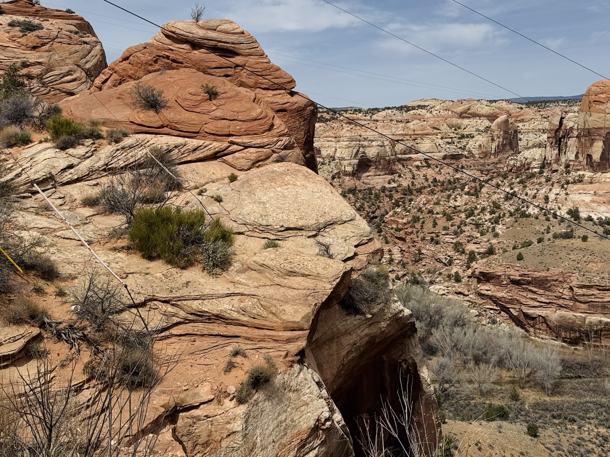
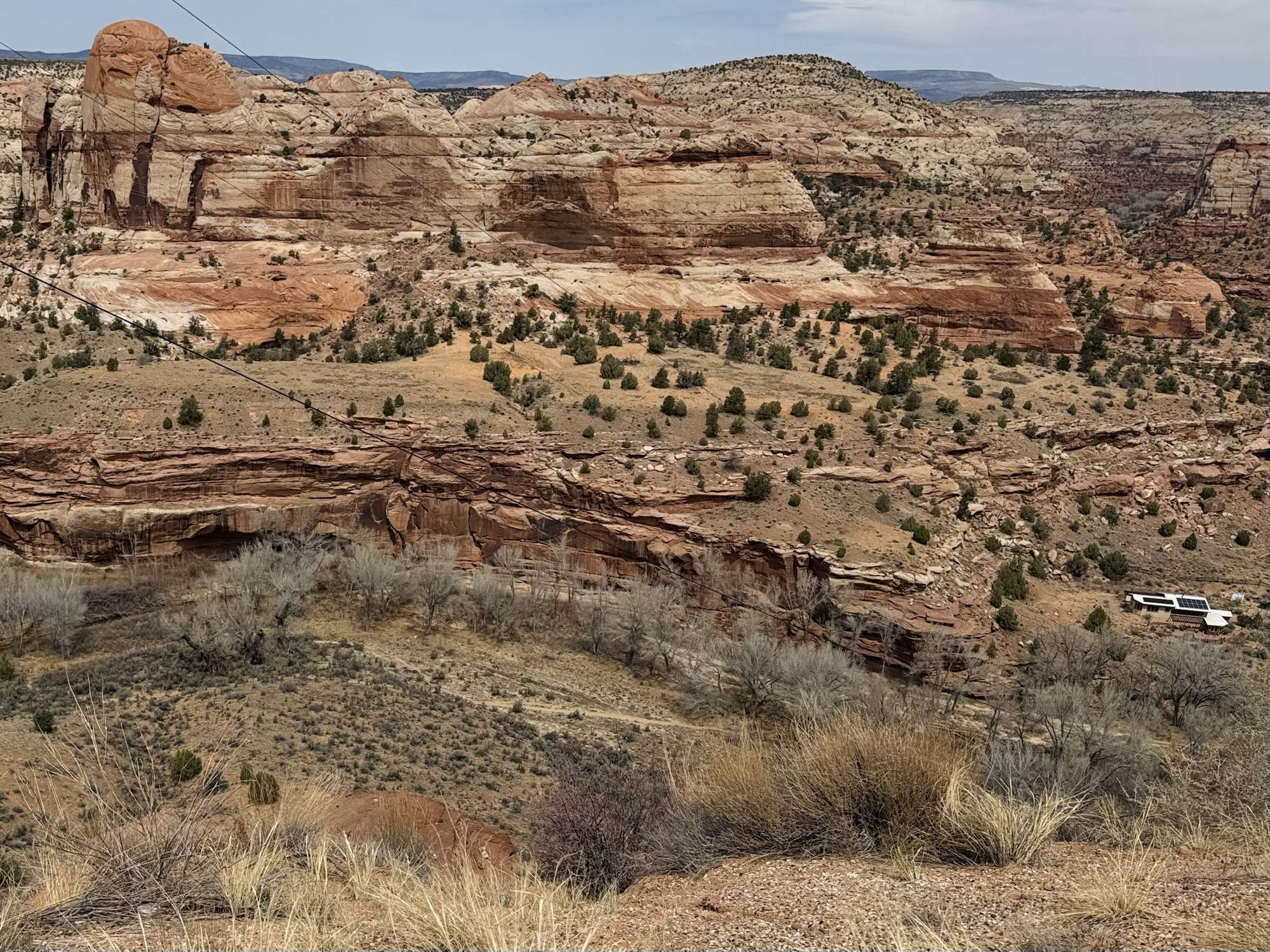
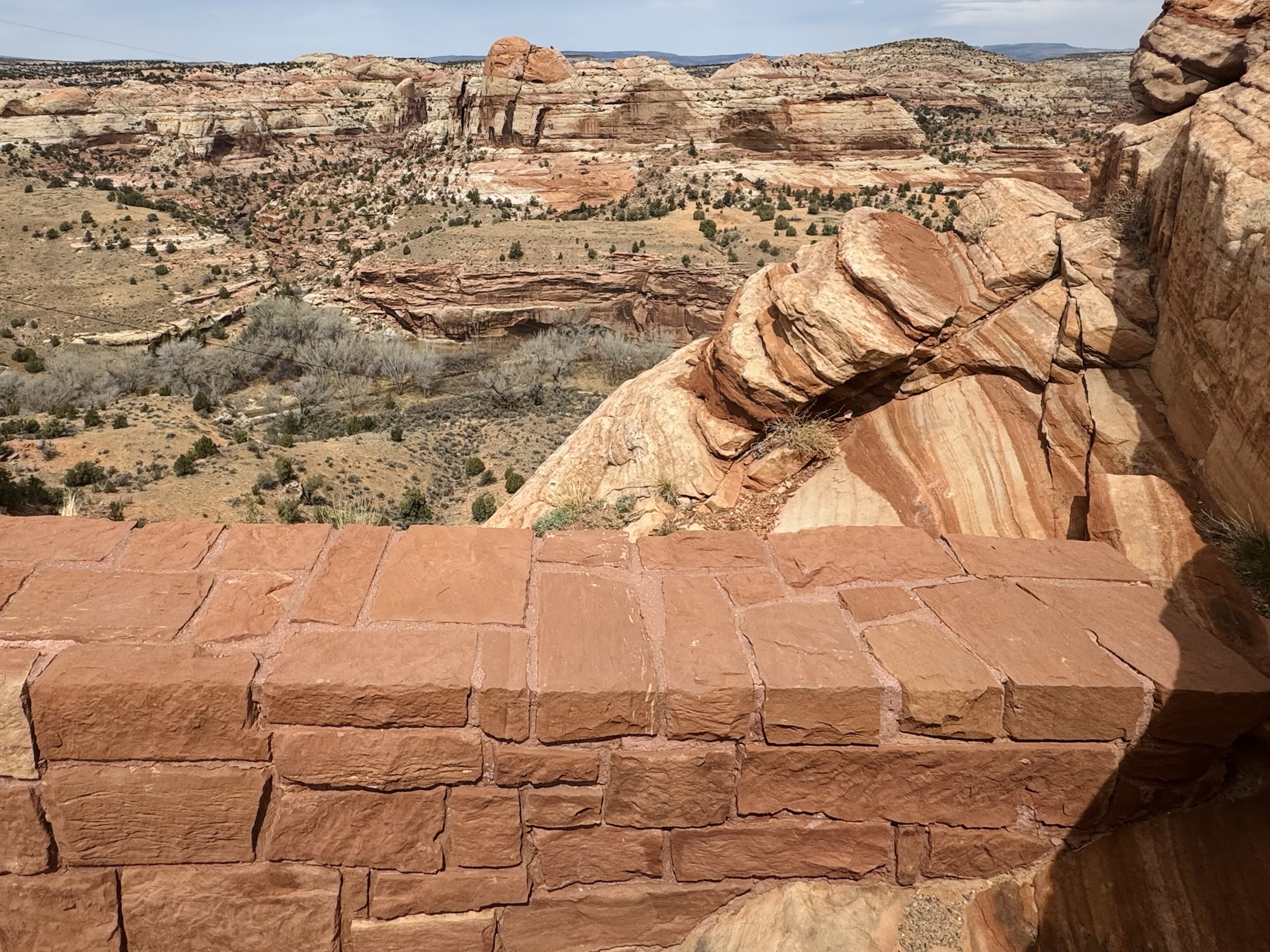
After beating our feet up here, it was about 6:30pm and we were looking for one more super quick thing to do before we lost sunlight. Mossy Cave was the shortest thing we found with a glimpse at the park map, so off we went! … but it was actually outside of the park…? And it was such a fun, quirky next stop after being immersed in the beauty of all of this.

Navajo Loop & Queen’s Garden trail via AllTrails:
https://www.alltrails.com/trail/us/utah/navajo-loop-and-queens-garden-trail
Bryce Canyon National Park via NPS:
https://www.nps.gov/brca/index.htm
About Sunset Point:
https://www.nps.gov/places/000/sunset-point.htm
About Sunrise Point:
https://www.nps.gov/places/sunrise-point.htm
About Inspiration Point:
https://www.nps.gov/places/000/inspiration-point-viewpoint.htm


Leave a comment