

I noticed that whenever I’m chronologically documenting our long road trips, I always lose steam around day 7/8 out of 10 and then never end up finishing it. It almost mirrors the actual burn out I tend to feel by that point in the actual trip.
That totally happened this time, on top of this loss of motivation I felt when I got this random unwanted suggestion about how I should only use trending audio in my Instagram posts in order to boost traction.
“Increasing the audience” is not a goal I’ve ever had when posting online about what I’ve been doing. I treat it like a very detailed photo album that I get to look back on, so I can remember my own highlight reel on the not-so-good days when I forget. It’s not so I can harness the algorithm to get it in front strangers to form an opinion about it… I don’t need to get likes in order to create a following in order to validate myself and my life, to get higher numbers – to what end – to monetize the thing that brings me joy in life?
It was super discouraging to realize that someone could think “wow, I should tell her to change the sound on this video” instead of “wow, it looks like they had a great time.” It would never occur to me to give someone that feedback, ever. I’m rambling, but I guess my point is – be careful what you say to people, because before I knew it, it’s been two months since I posted anything here, or anywhere. (And I’ve done a lot of cool stuff I wanna talk about!)
Anyway… where was I?
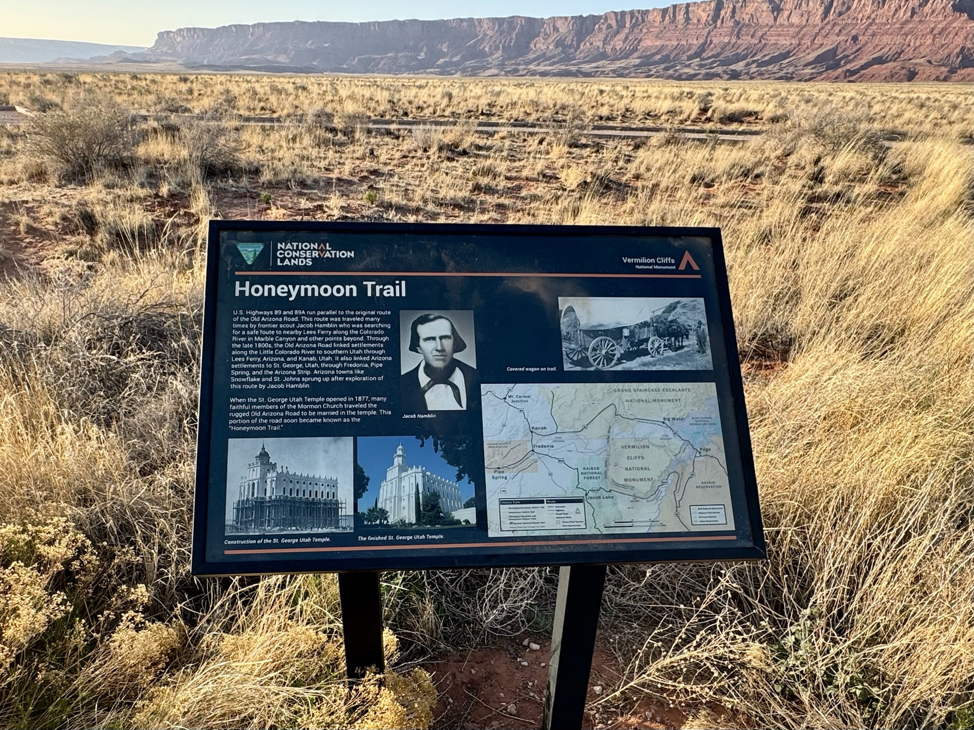
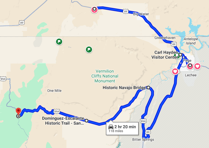
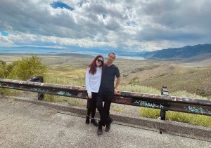
After melting our faces off on the Toadstool Hoodoos trail in the Grand Staircase Escalante National Monument, we chose to take the scenic route on 89A through Glen Canyon, Marble Canyon, and Vermilion Cliffs – eventually to super-near the North Rim of the Grand Canyon to the Jacob Lake Inn.
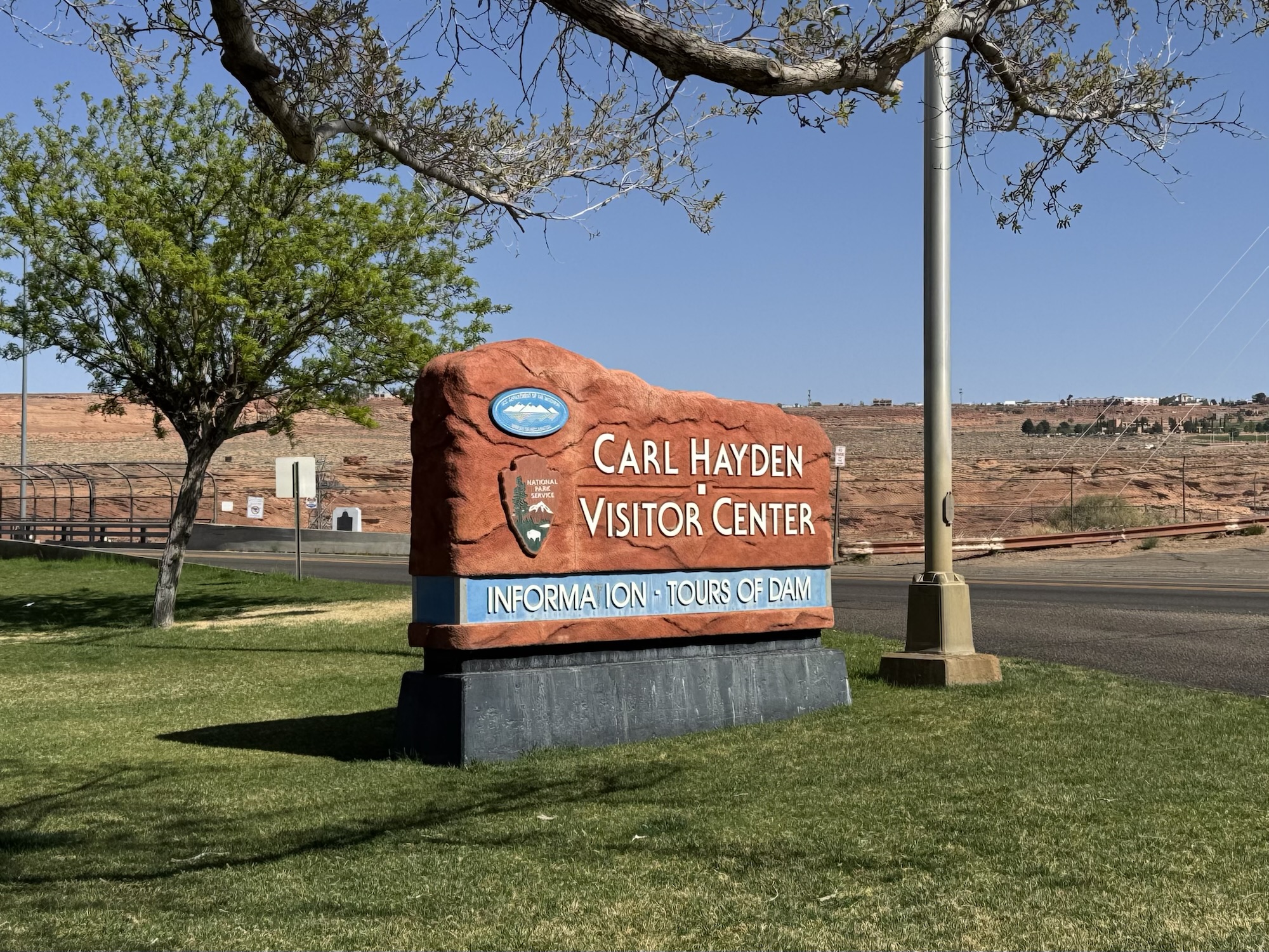


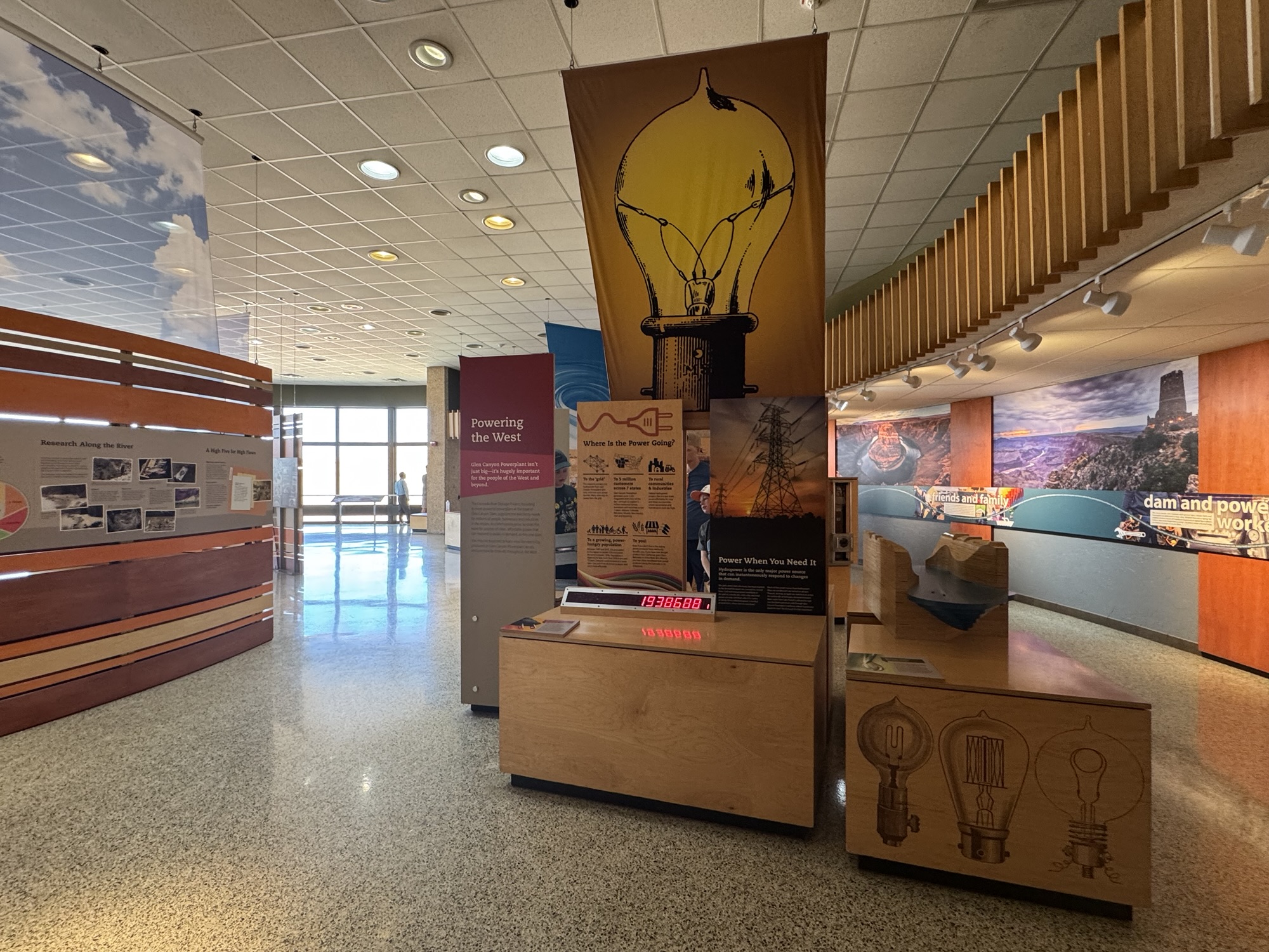

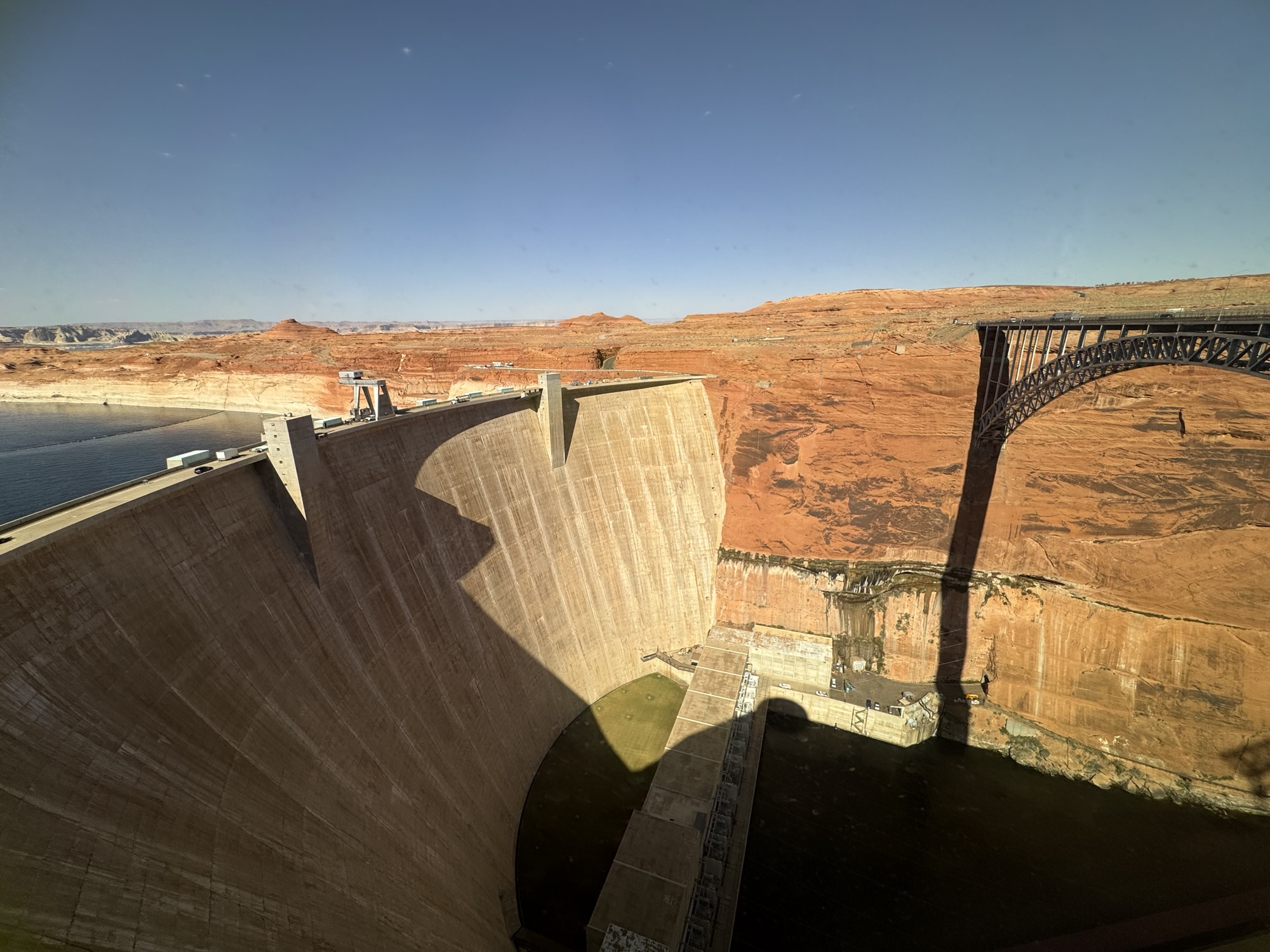
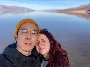
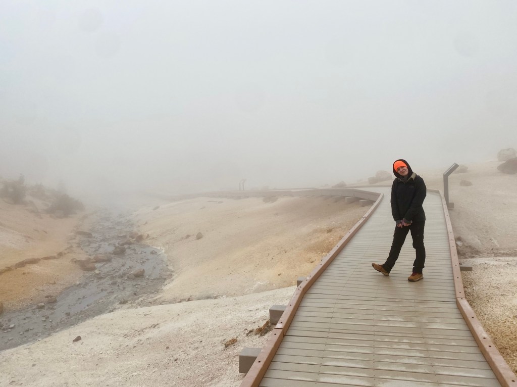
We got the the Carl Hayden Visitor Center around 3pm on April 9, 2025. We spent about 30 minutes here, looking at the big ol’ dam and this edge of Lake Powell, reading the information on the exhibits inside, getting our National Parks passport stamp, and taking a bunch of pics.

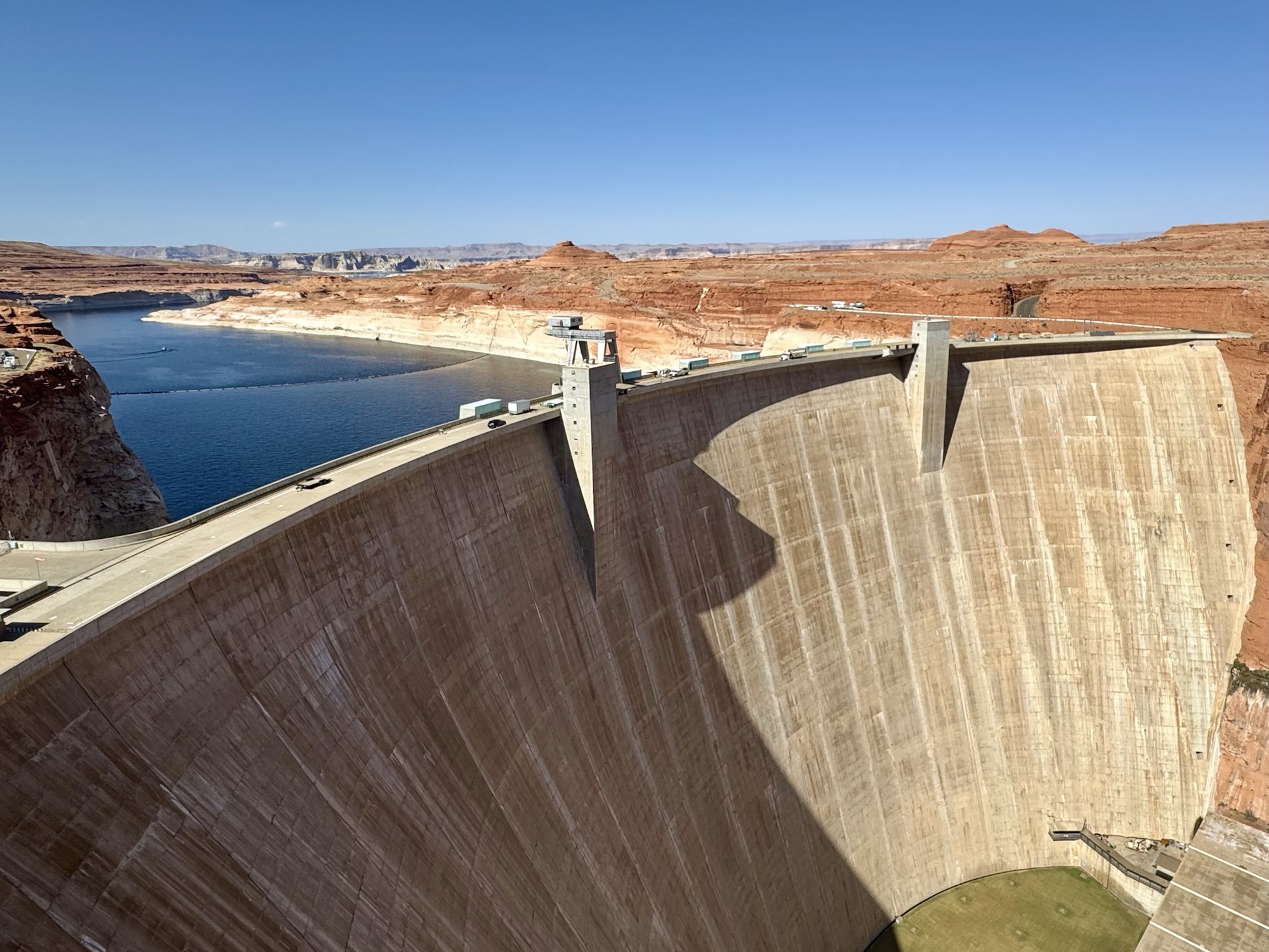

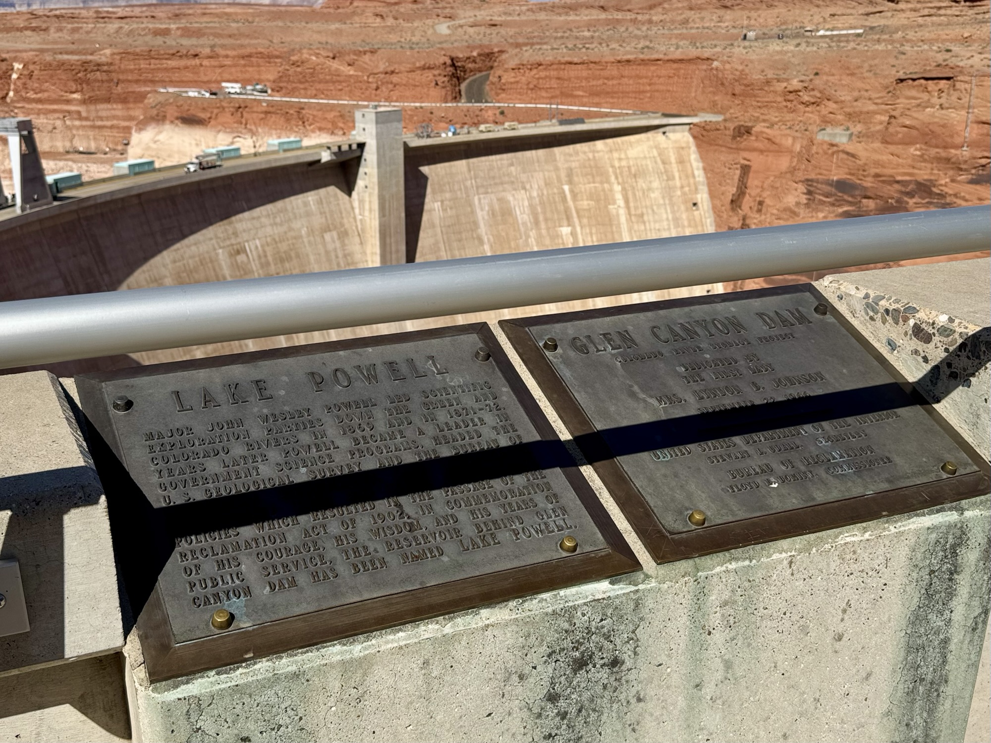
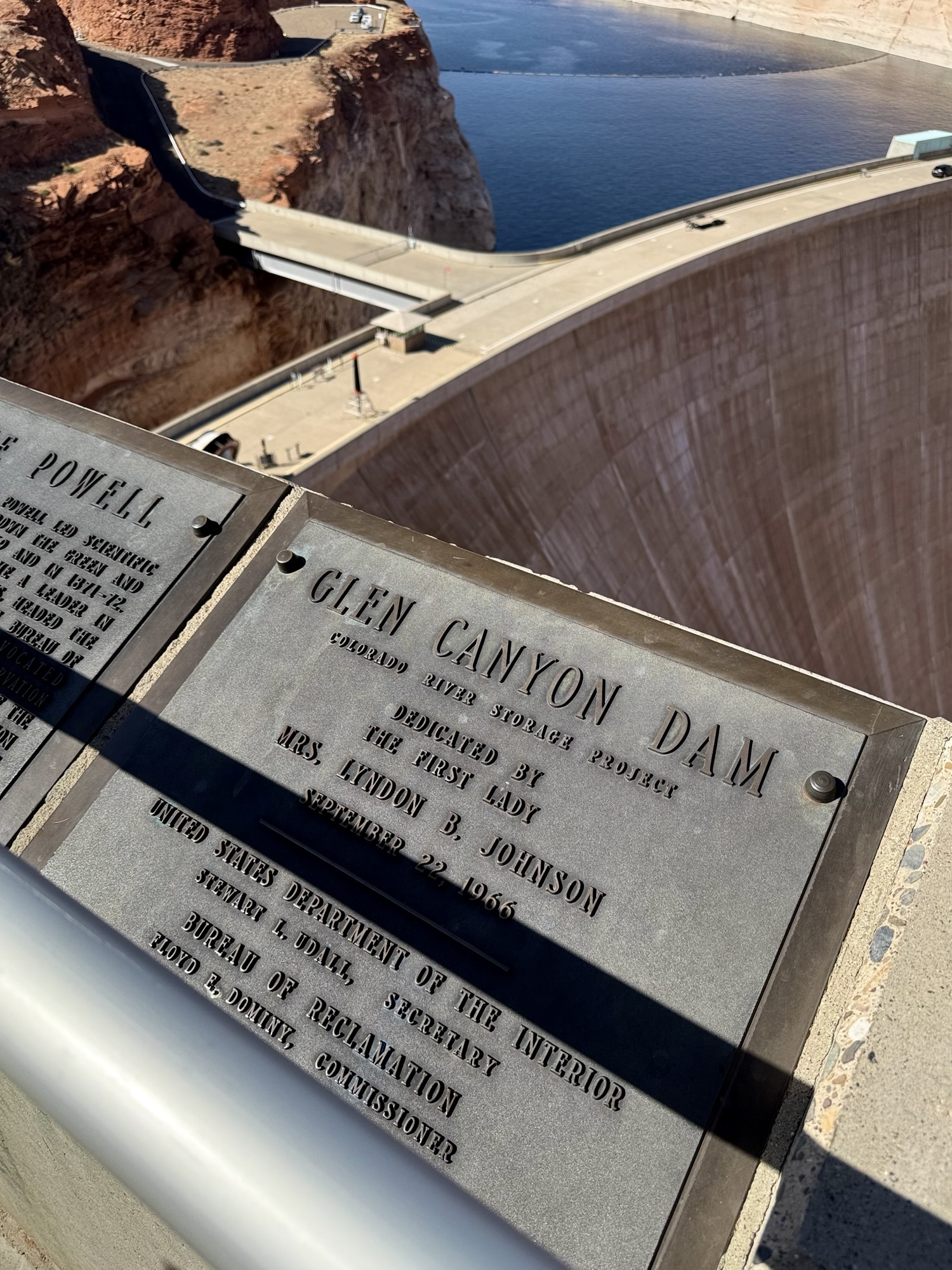
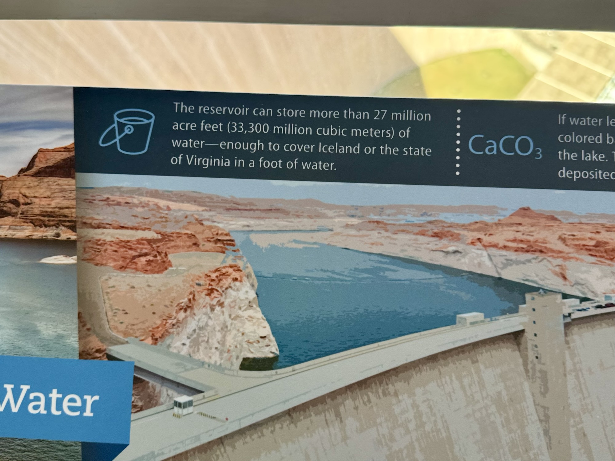
“The reservoir can store more than 27 million acre feet (33,300 million cubic meters) of water – enough to cover Iceland or the state of Virginia in a foot of water.” As US east-coasters, that’s pretty mind boggling to think about.
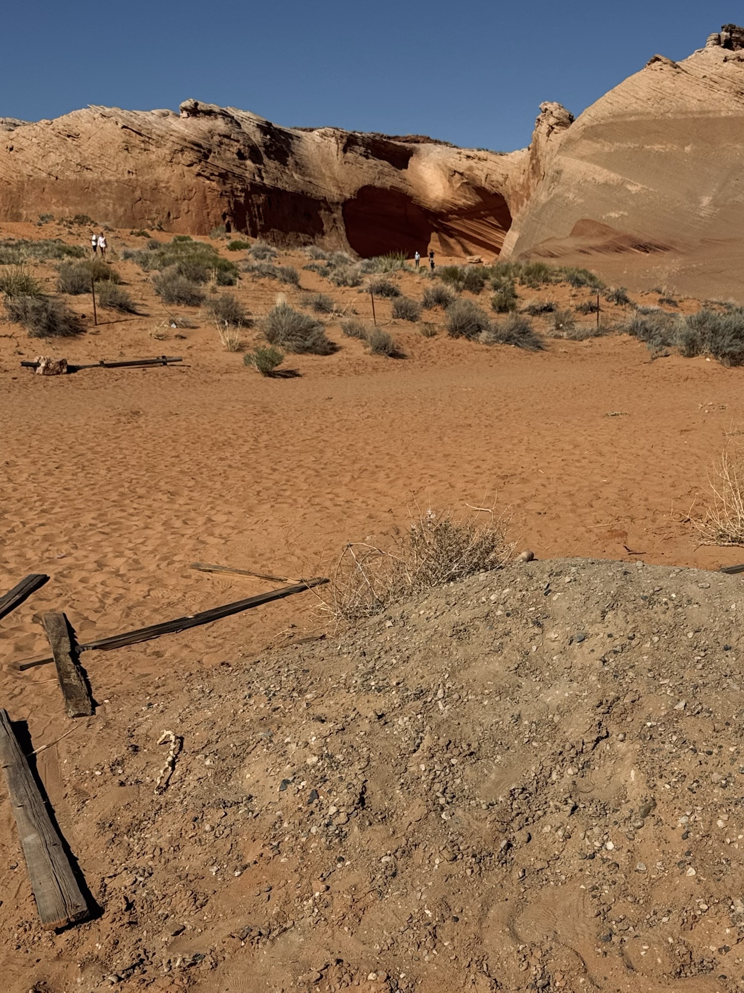
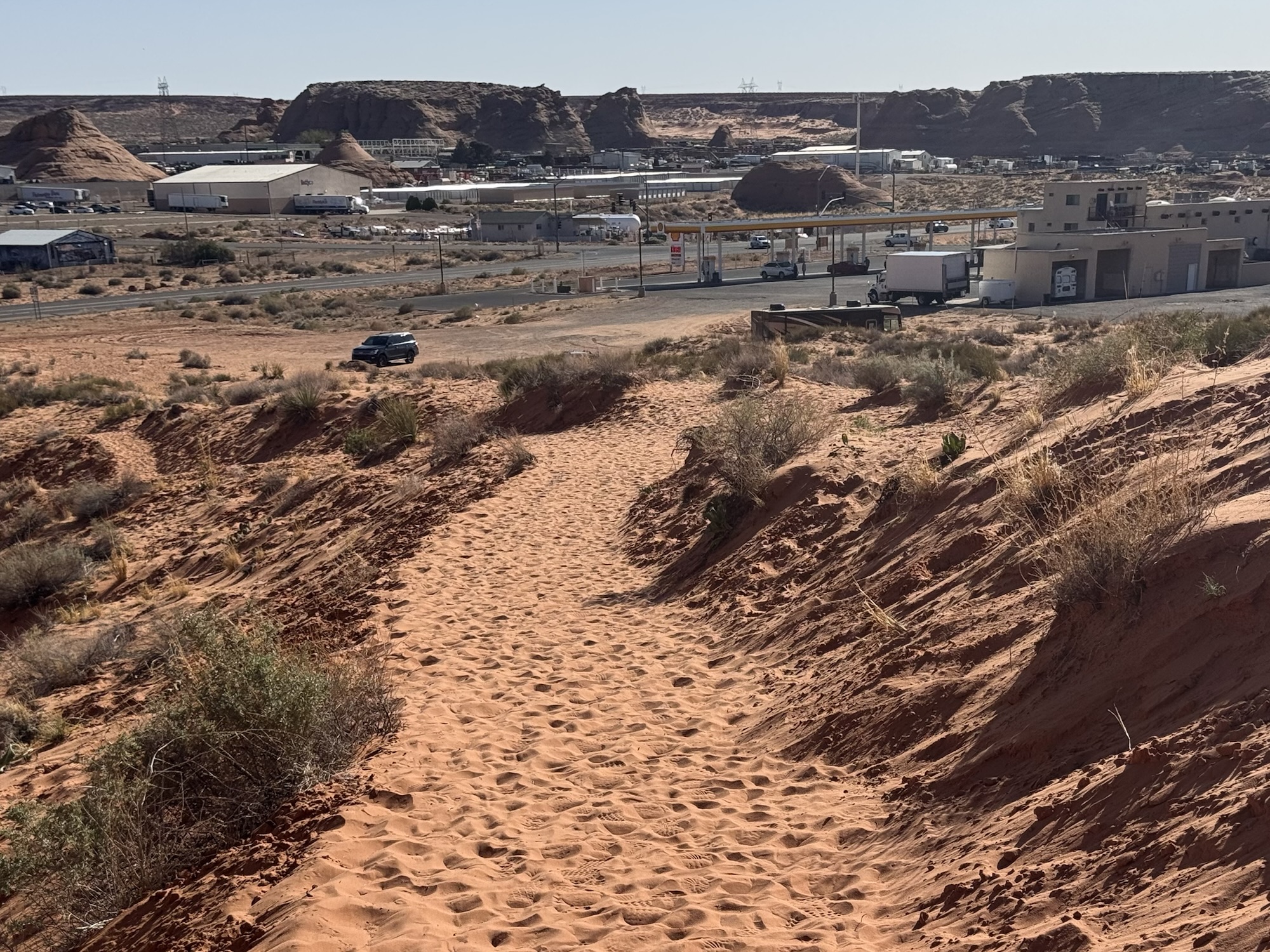
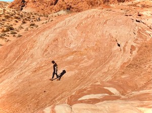
Less than 15 minutes away, also in Page, Arizona, is the Instagram-famous Shell gas station “cave.” We’d been to this gas station before (on a perilous multi-stop tour to the Grand Canyon where we were held with our multi-national tour group for an hour+ by the State Border control… story for another time) but didn’t have the chance to explore.

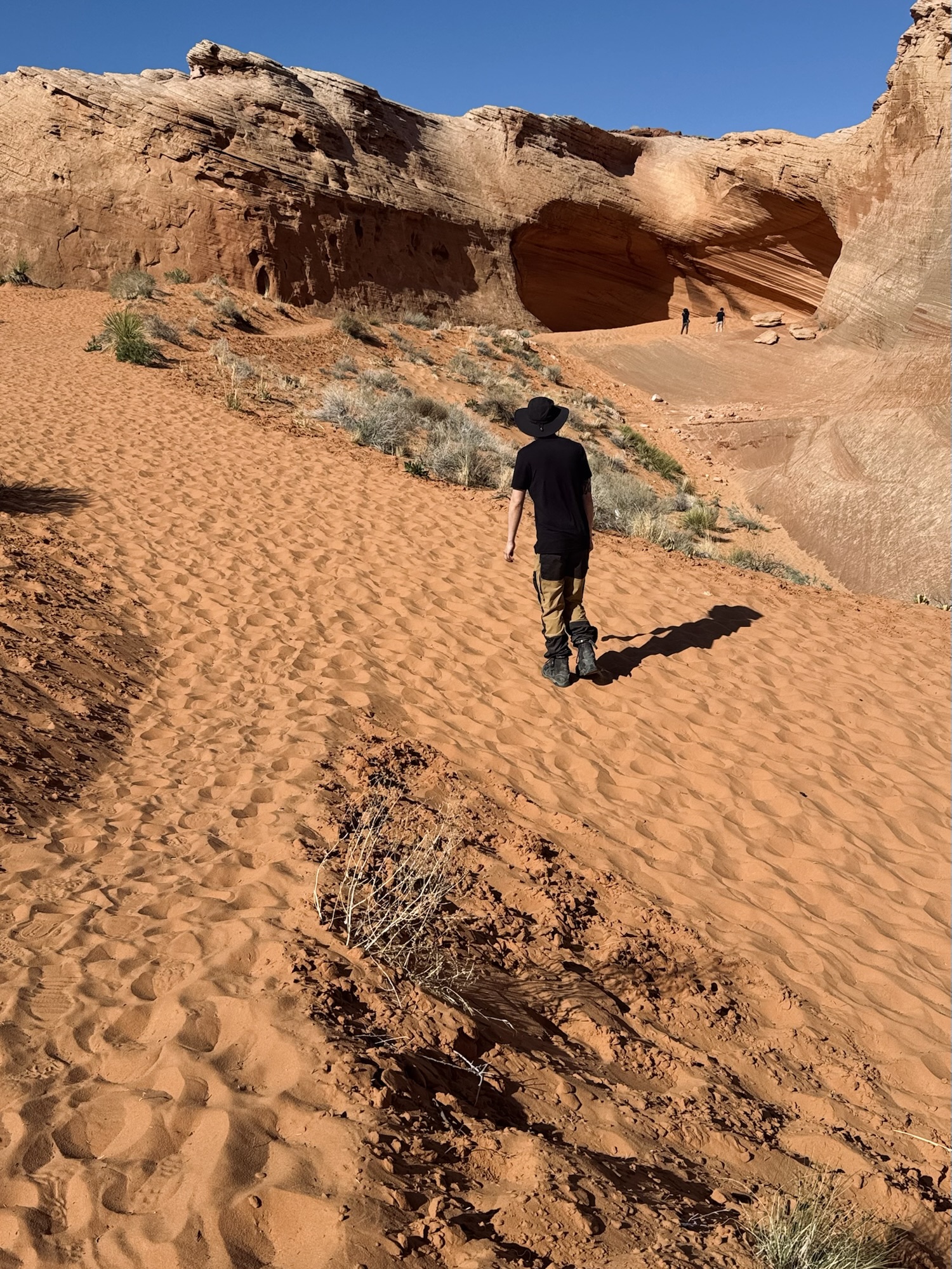
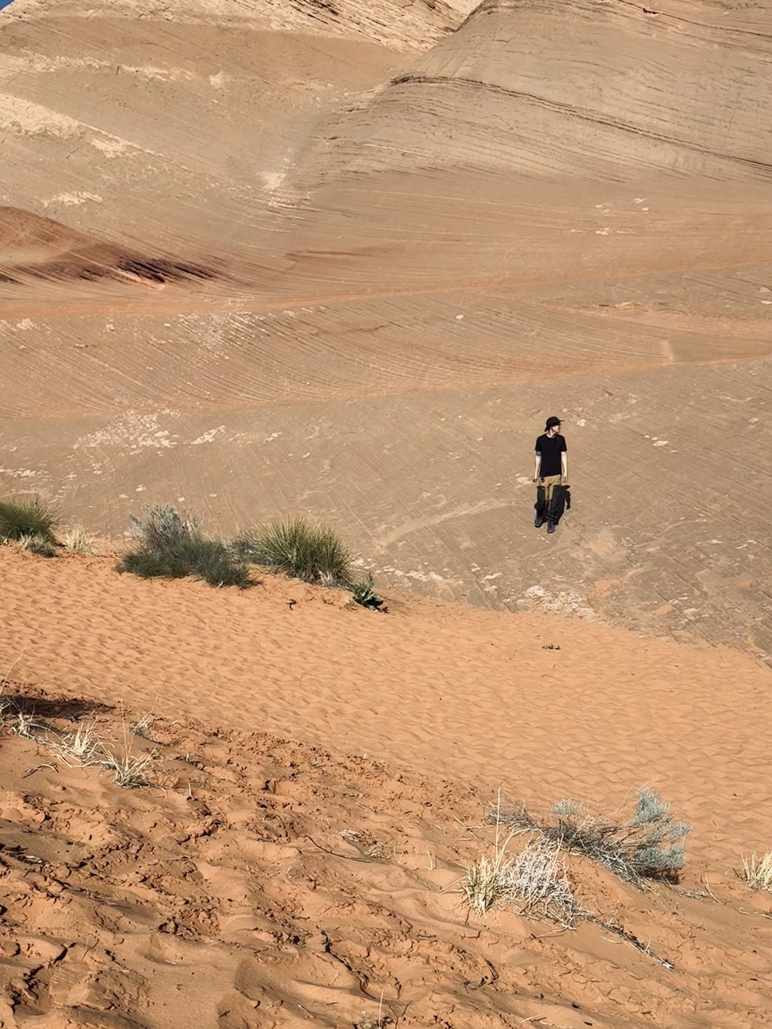
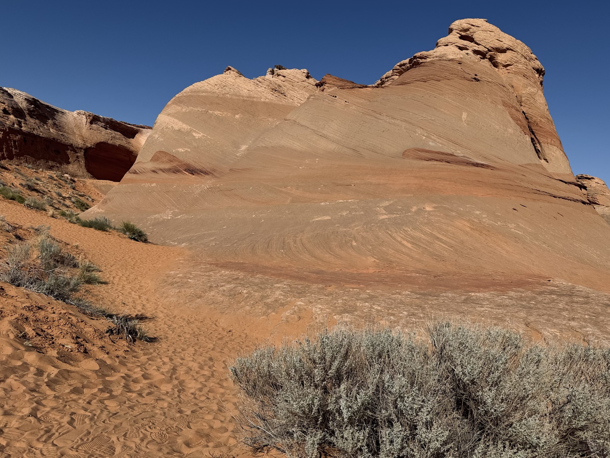
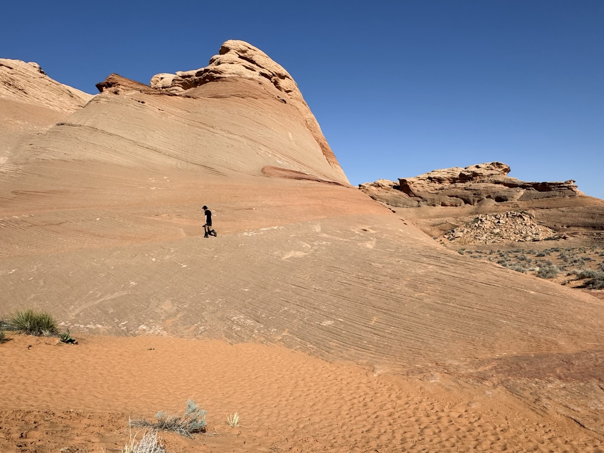
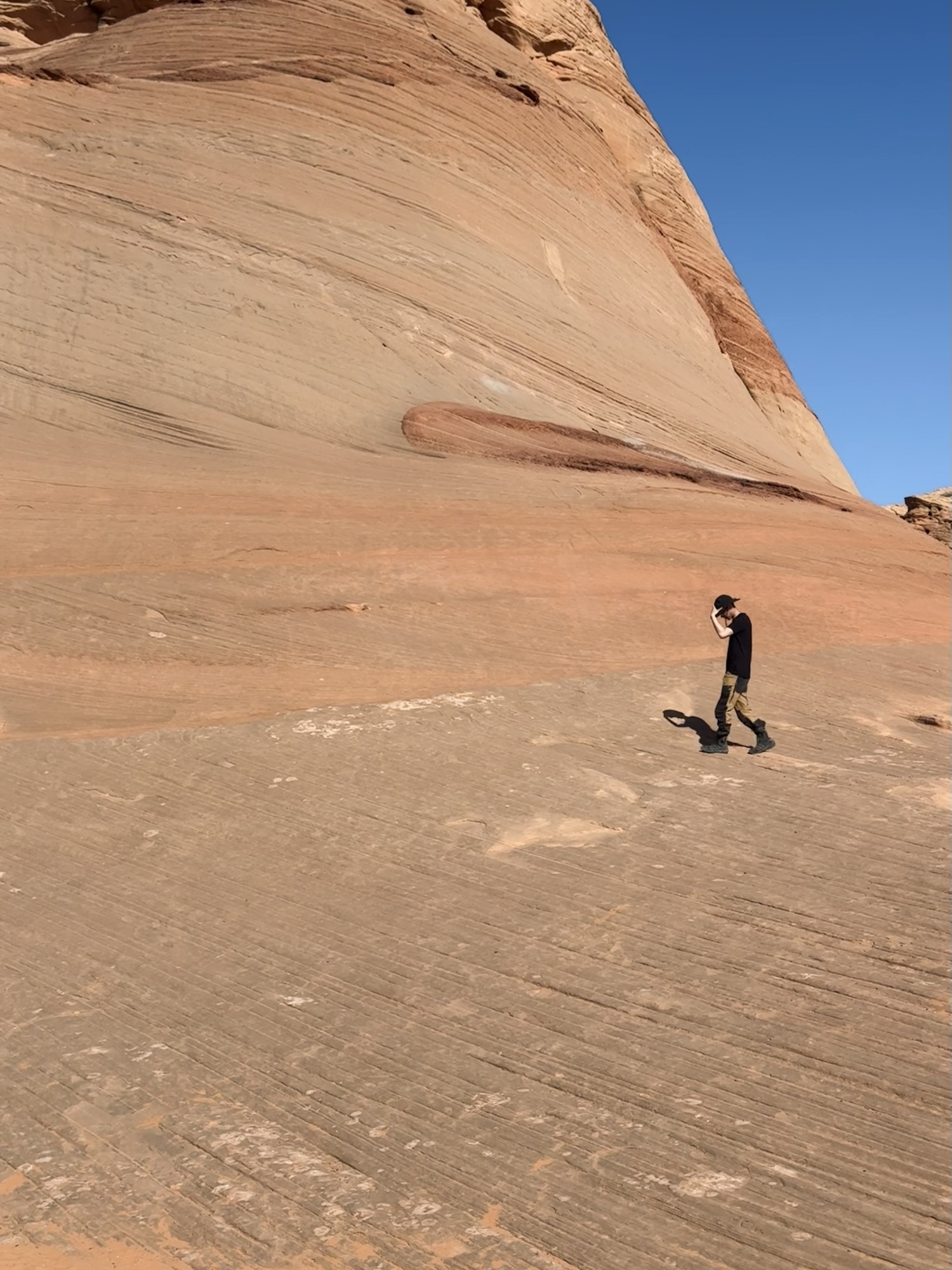
It was nice to kinda rewrite what was a previously stressful memory haha. We just parked in the back of the Shell gas station, out of the way of the people actively using the gas station. It’s a quick 10-15 minute walk on hot, orange, sand to the “cave.” It’s a super cool way to stretch the legs on a long trip. It does get HOT so be prepared, even though it looks super easy and quick.
This is a pretty popular spot so be prepared to share it with people. We got lucky and made quick friends with a bunch of ladies who we swapped pics back and forth with.
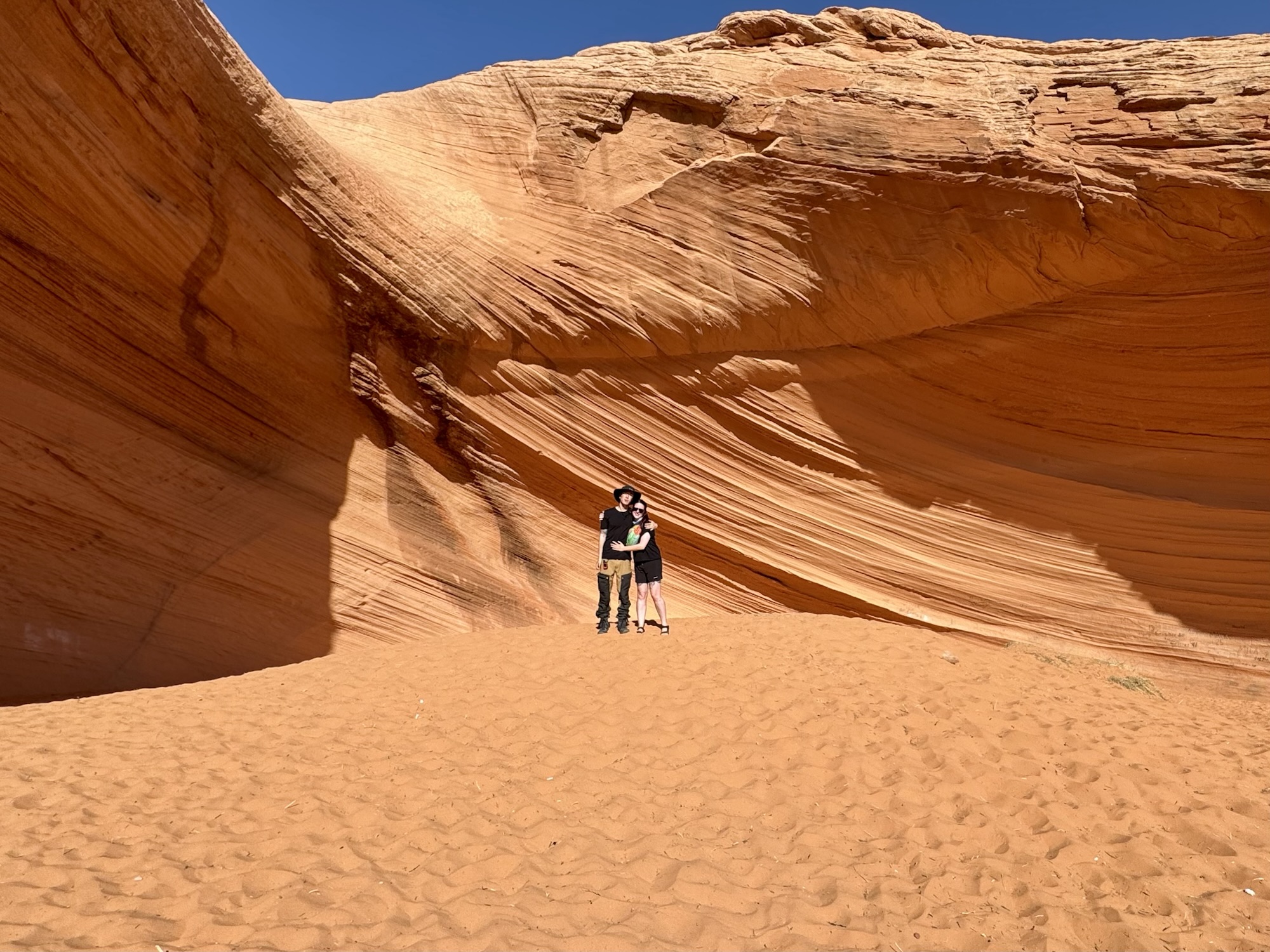
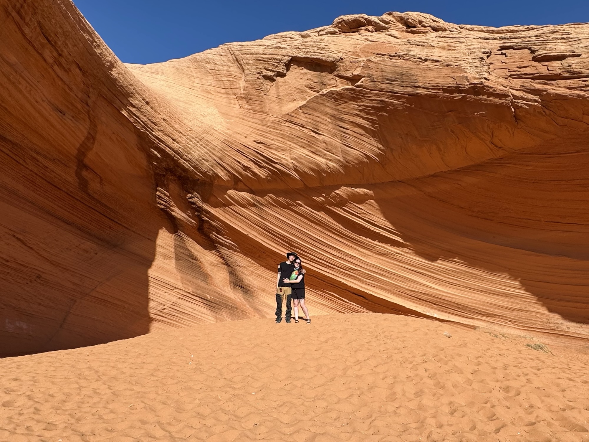
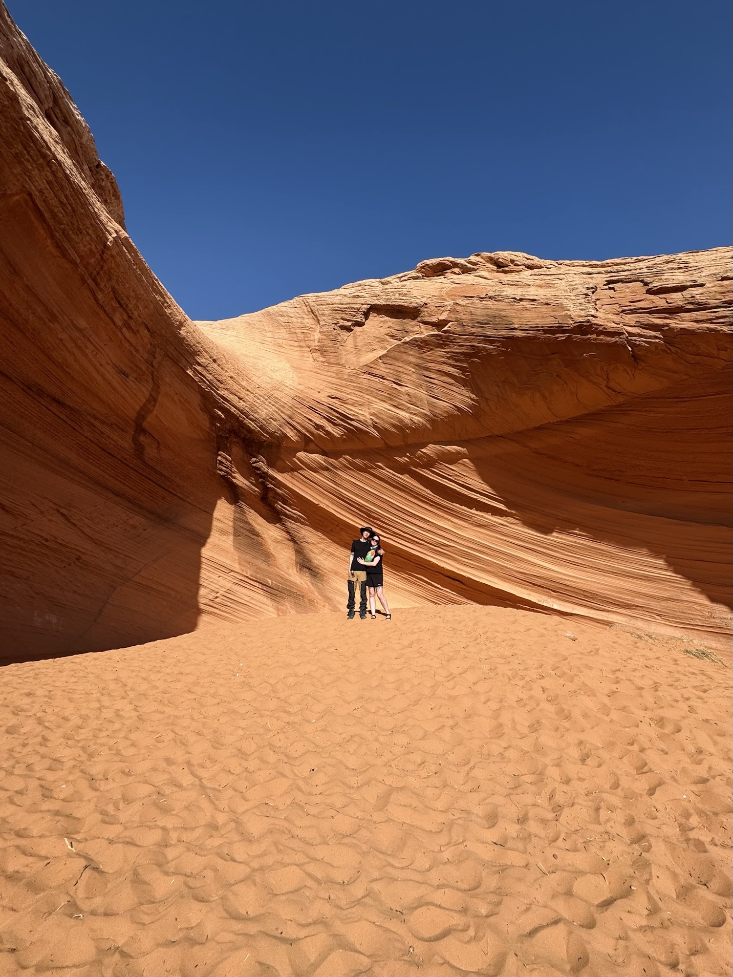
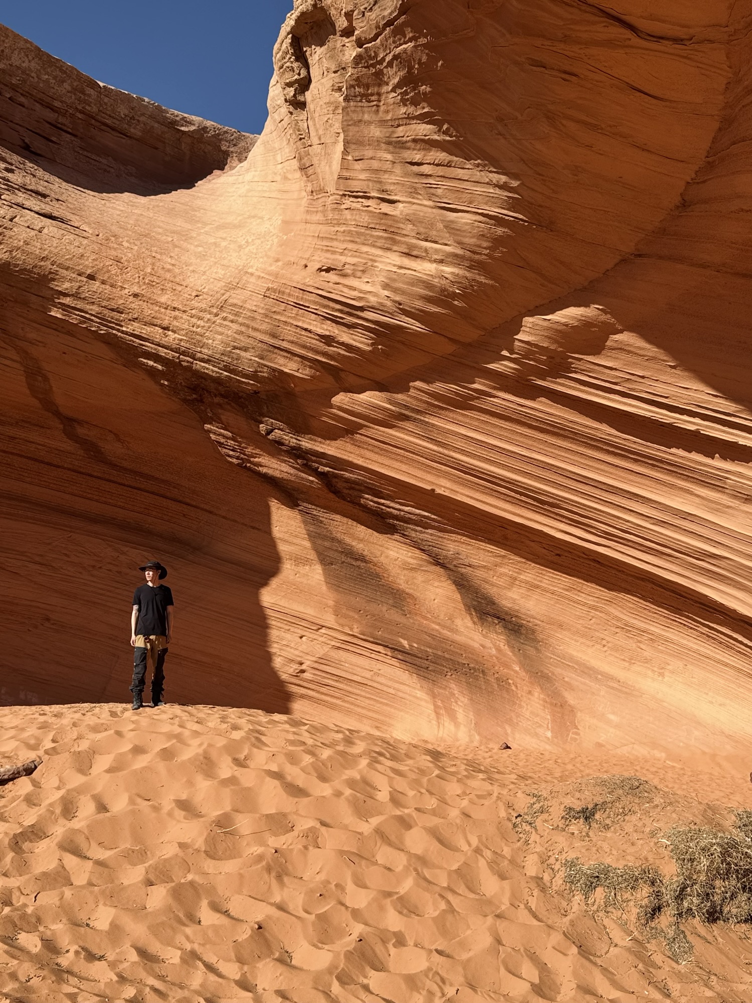
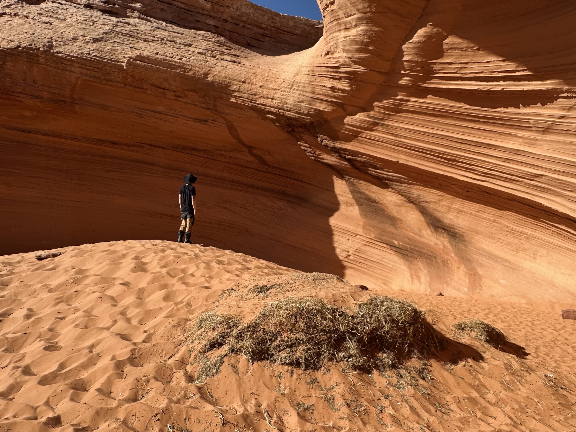
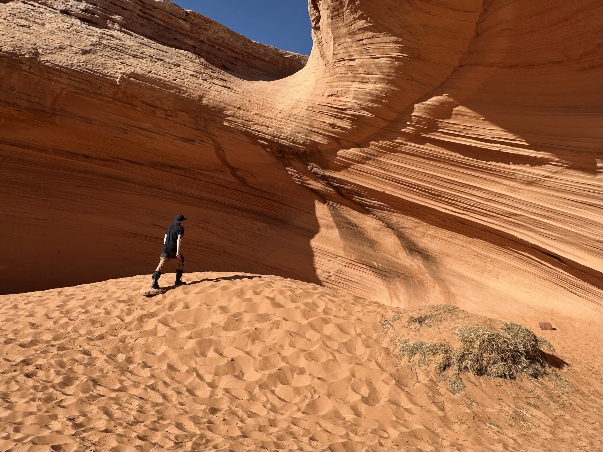

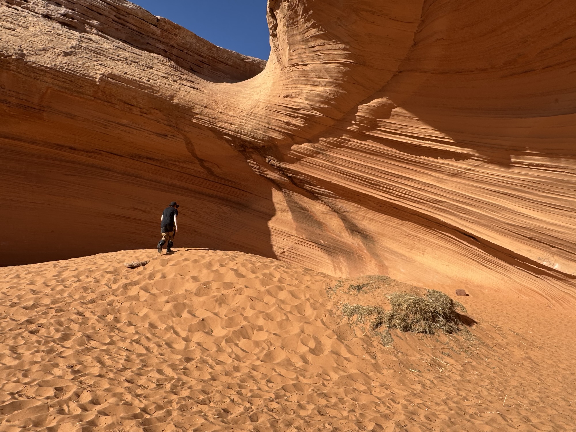

I wore sandals here (sand, right?) and it was mostly fine, but just know that there are a bunch of tiny sticks that poke out of the sand like little booby traps. Careful.

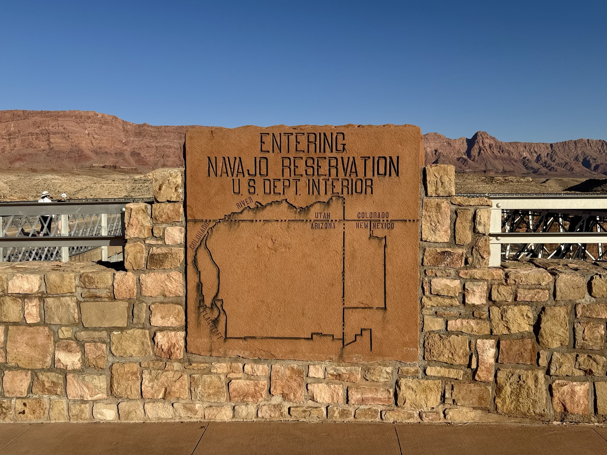
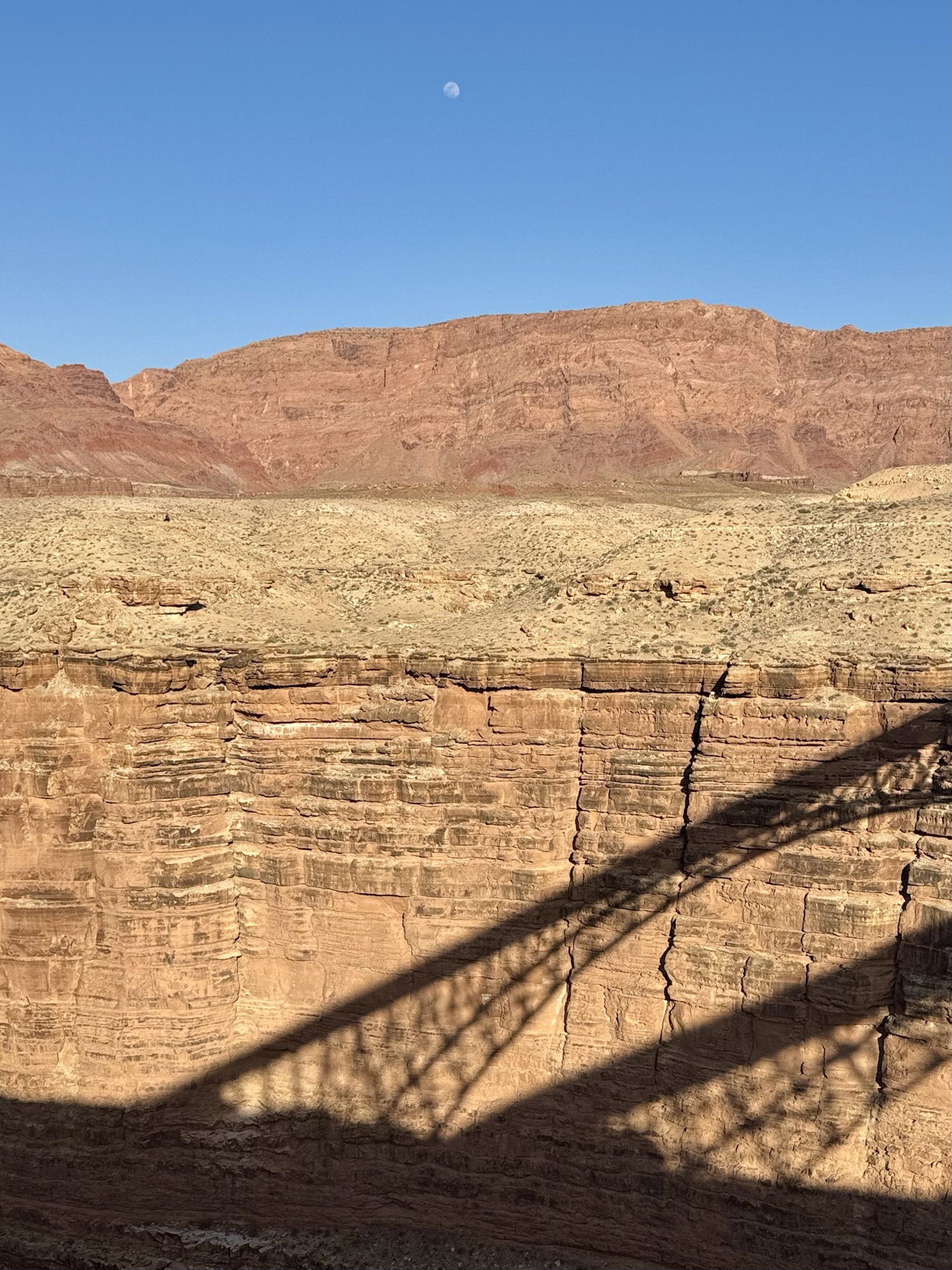
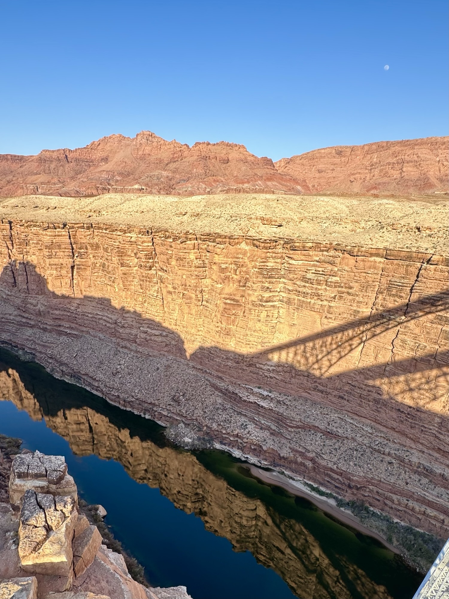
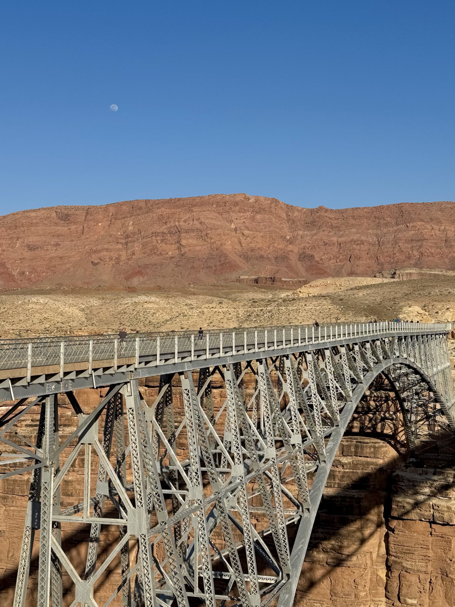
Of course we stopped in the gas station afterward to load up on snacks and drinks, then mosied our way back onto 89A and back into the middle of hot desert nowhere before signs for Navajo Bridge National Monument started popping up.
We had no clue what that was, but obviously we had to stop and scope it out – how many other times we were gonna be here?

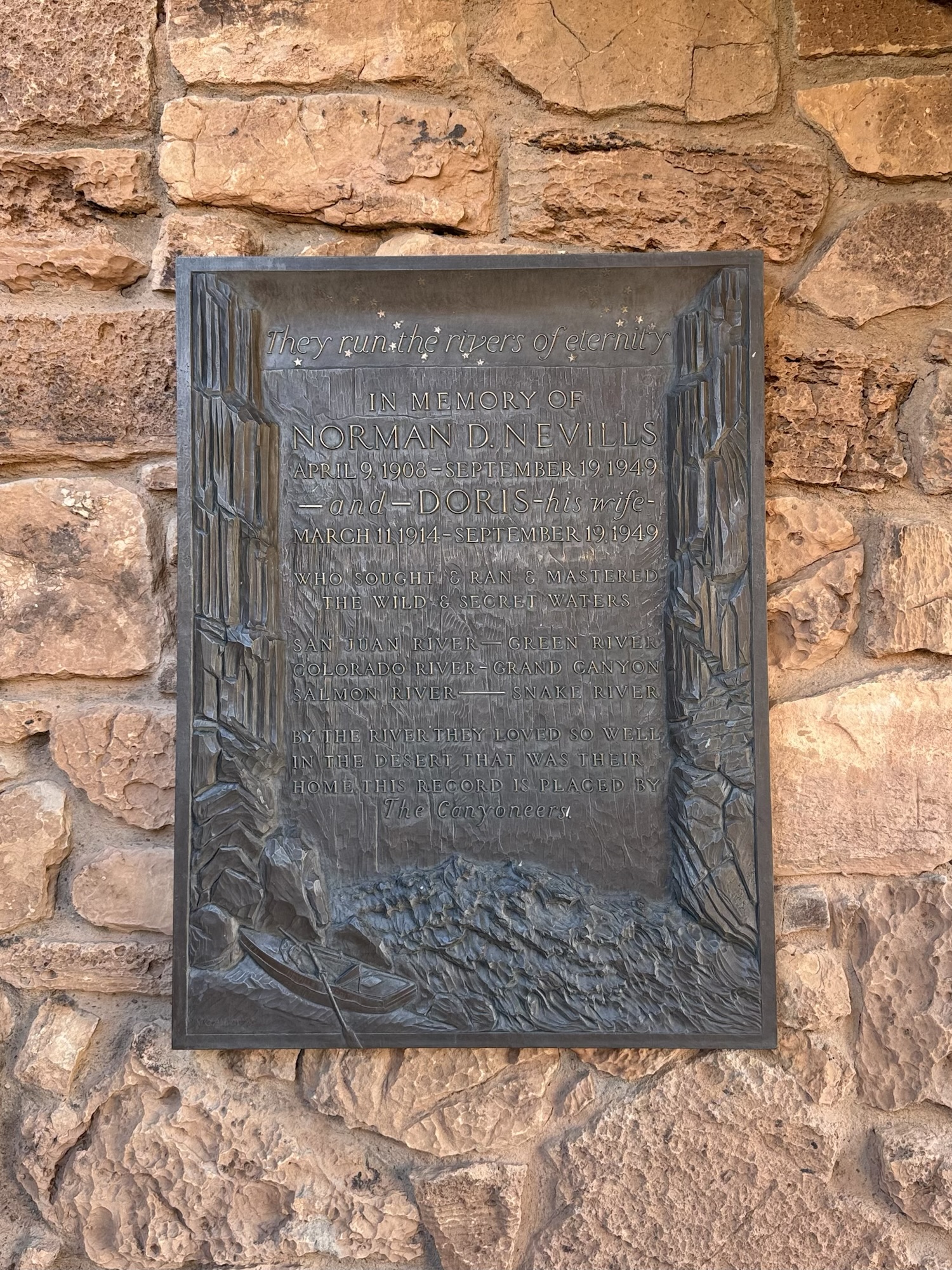

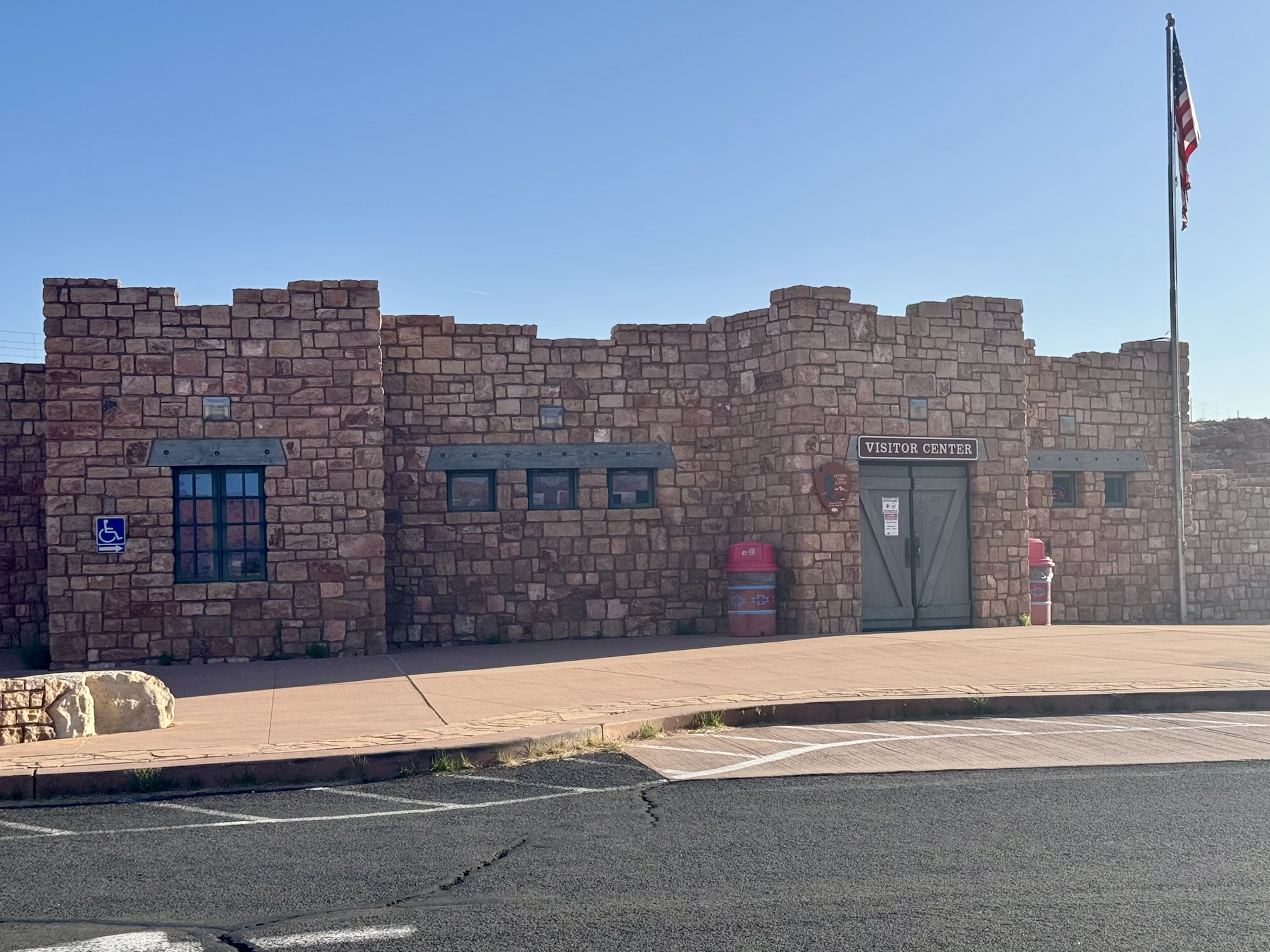
Unfortunately the visitor center for Navajo Bridge NM closed at 5pm and we were just a few minutes short of squeaking in there to get our National Parks passport stamp, but we still stuck around to read alllll the 50 million signs outside that dove into the history of the area.
Ready for a lil history lesson?
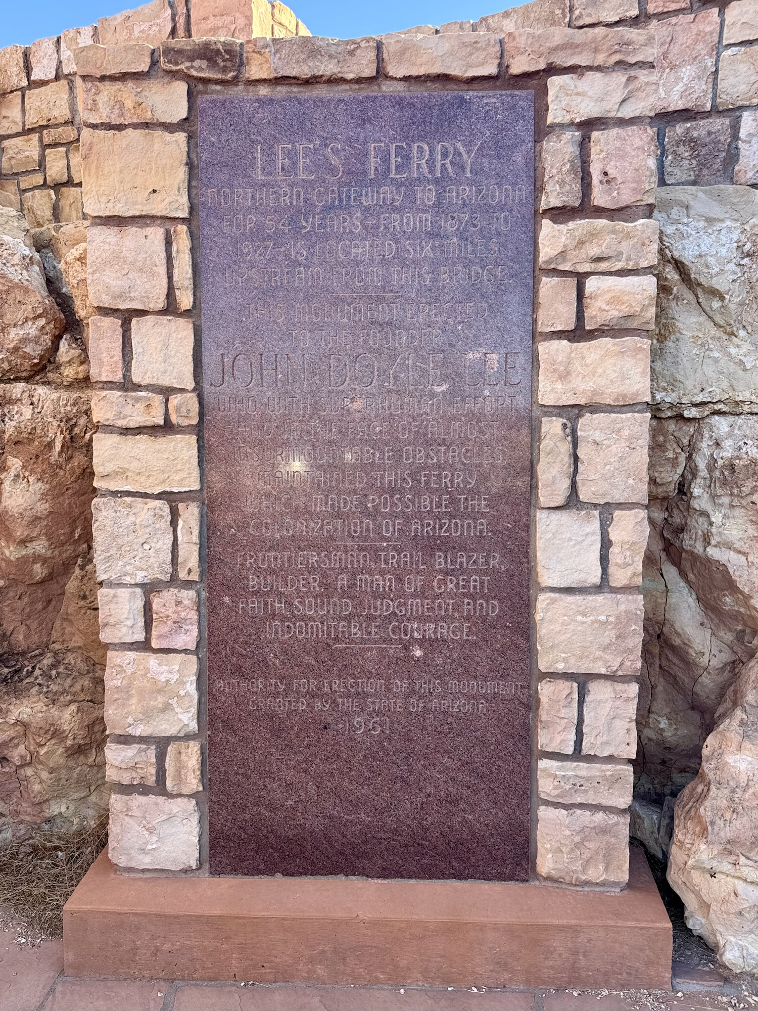
When people were colonizing Arizona and Utah in the early 1900’s, they were trying to cross the span of the Colorado River but it was super difficult because of the steep canyons on both sides. Glen Canyon was the most narrow waterway to cross but it was dangerous it do it on your own in a tiny boat. So, this guy named John Lee had a ferry that he’d use to help people get back and forth. When people started having a bunch of cars in 1920’s, they were using the ferry to transport them and it became super sketchy, and eventually in 1928 the ferry sank for the first time and three people died, and the ferry operation stopped completely.
Then there was absolutely no way to get from Arizona to Utah on a road, except to go this 800 mile weird route which was obviously super difficult for people to do 100+ years ago. So in January 1929, about seven months after that sinking accident, they created the first version of this bridge. For a while, it was the highest steel arch bridge in the world. The celebrated the opening in June 1929 and 7000 people came. !!!! That’s so crazy to me. I hope you gets get to go here one day to understand how remote and desolate of an area this is, and how crazy of a logistical feat it would’ve been for them to get out there just to celebrate a bridge.

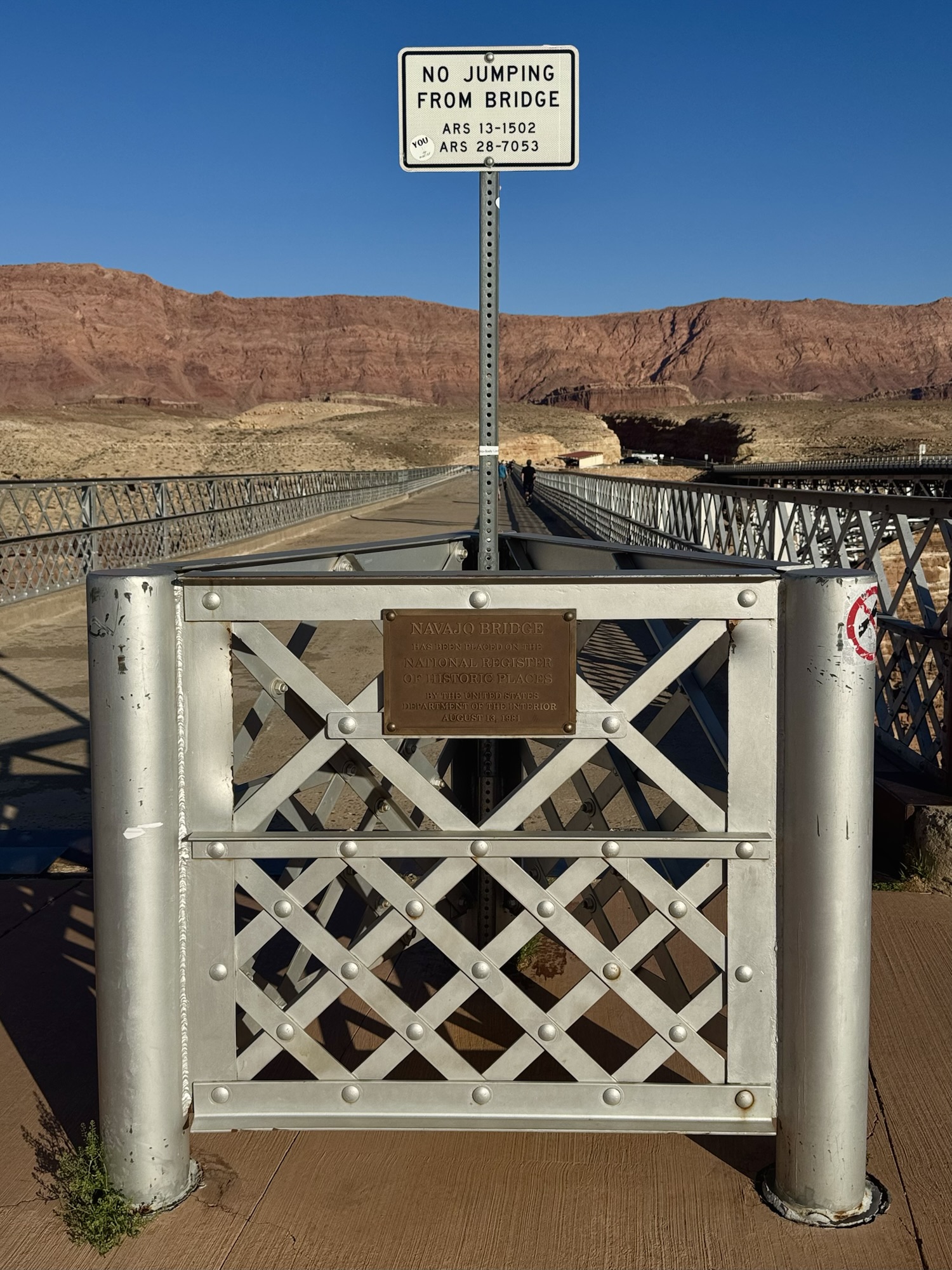
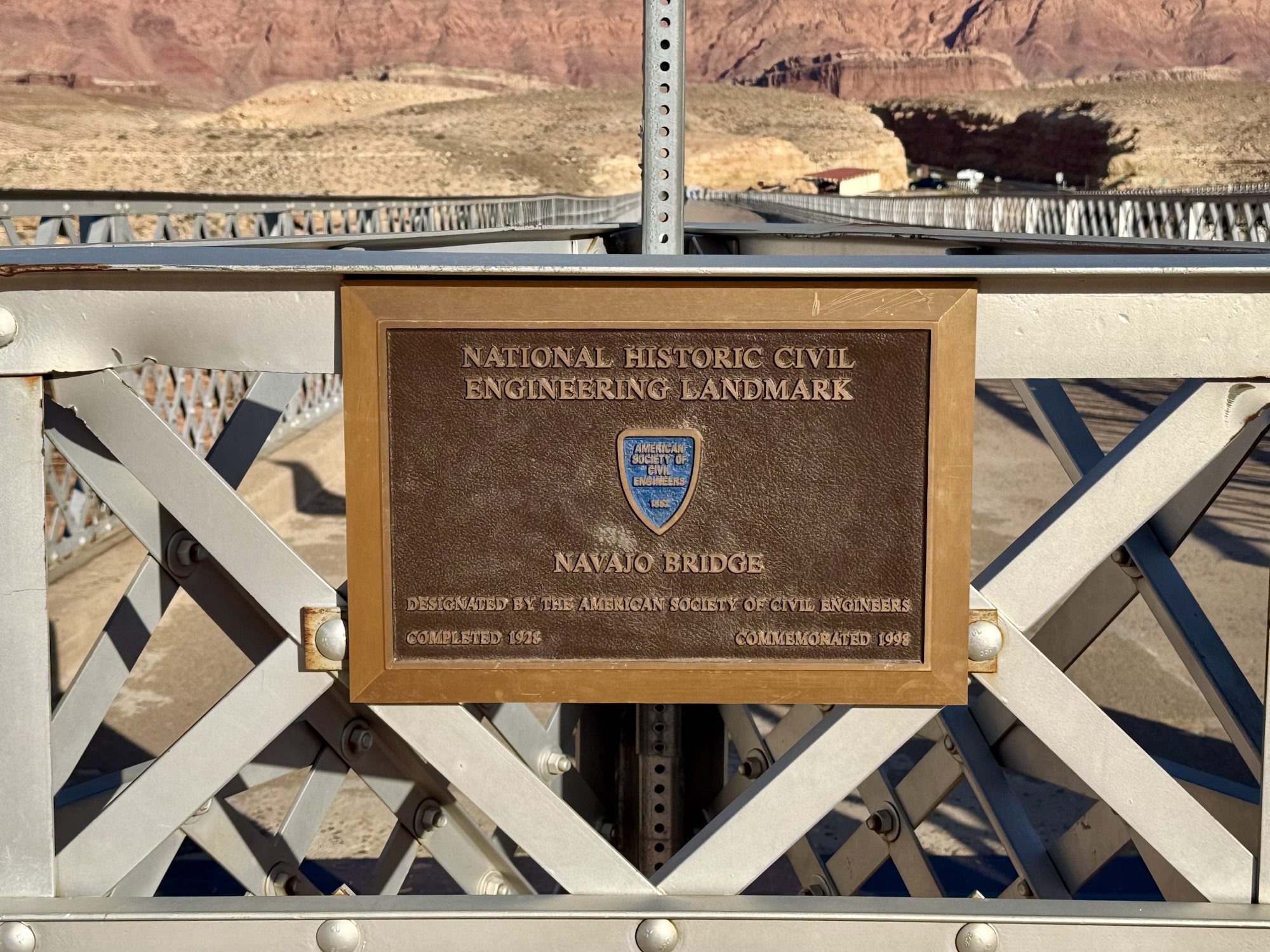

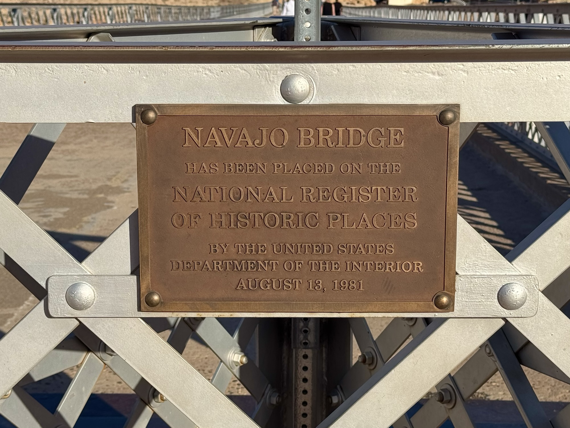
In 1993, since cars and trucks got bigger and after a few pedestrian-related accidents, they decided to make a newer and bigger bridge right next to it for cars & keep the old one for sight-seeing pedestrians.


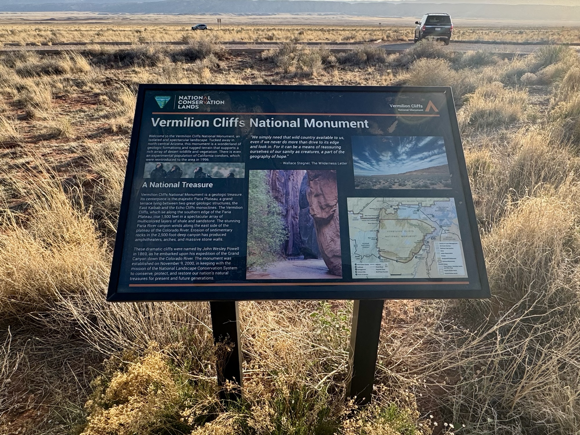
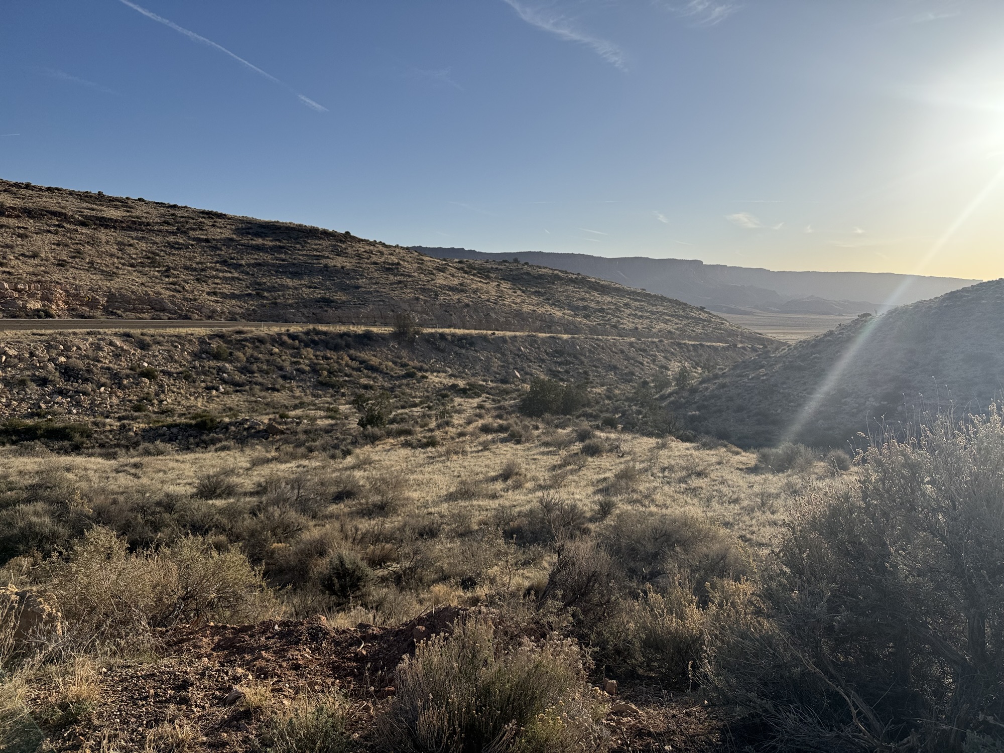
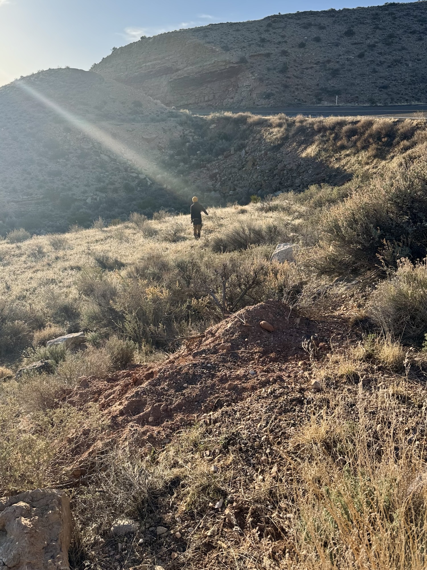
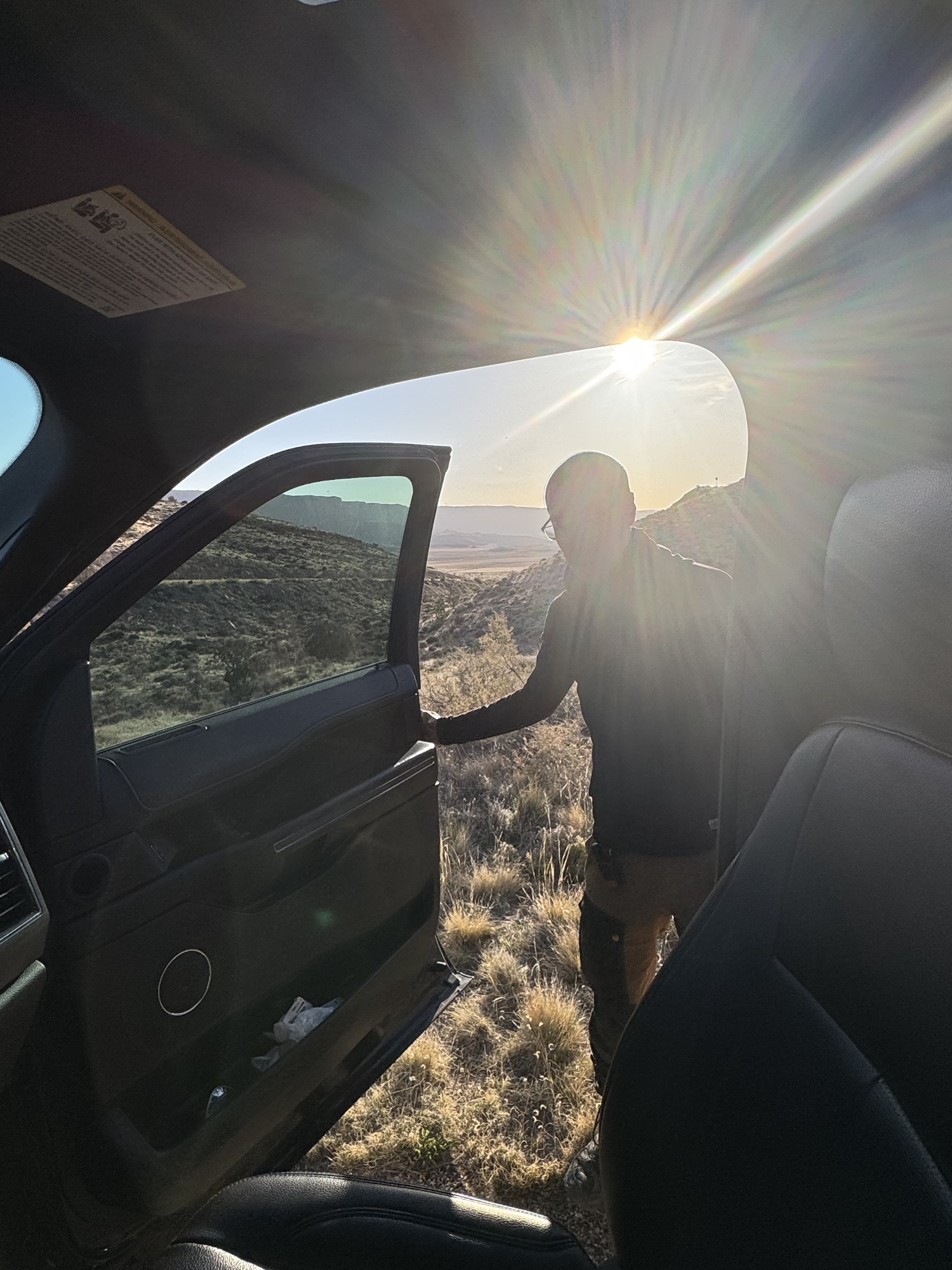
After melting in the blazing sun here, we headed on our way deeper into the Vermilion Cliffs. We recently forayed into geocaching and it’s perfect for breaking up these super-long drives in the middle of nowhere. Our next stop was to find the one hiding at the trailhead and historic marker for the Dominguez-Escalante Historic Trail which was about 20 miles and 20 minutes away.

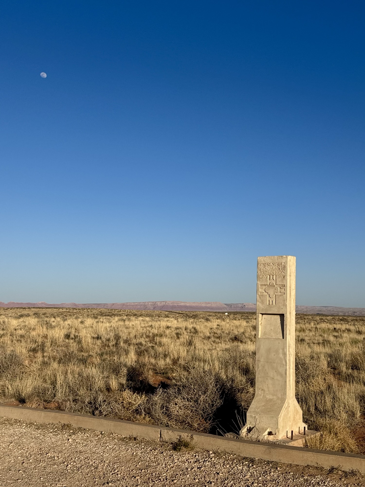
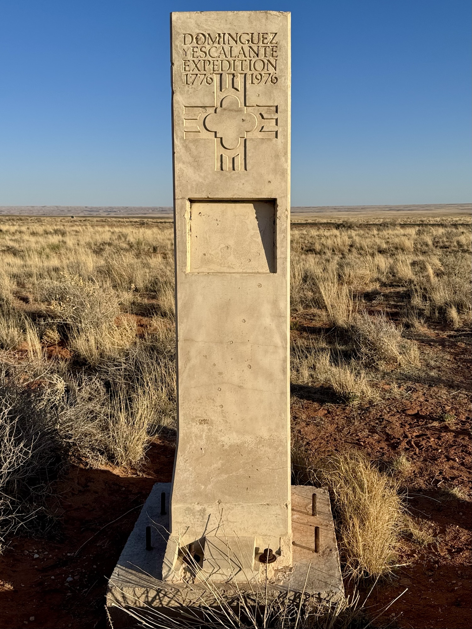

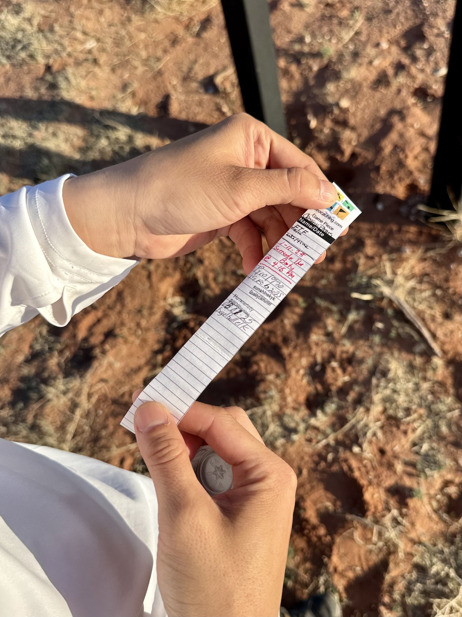

This little place pops up in the middle of nowhere and consists of this BLM sign, this statue, and four interpretive trail signs that tell you about the significance of all of the things. Normally I wouldn’t show anything that could even remotely show where a geocache is hidden but like… this is so remote, you’re not gonna find this thing by accident.


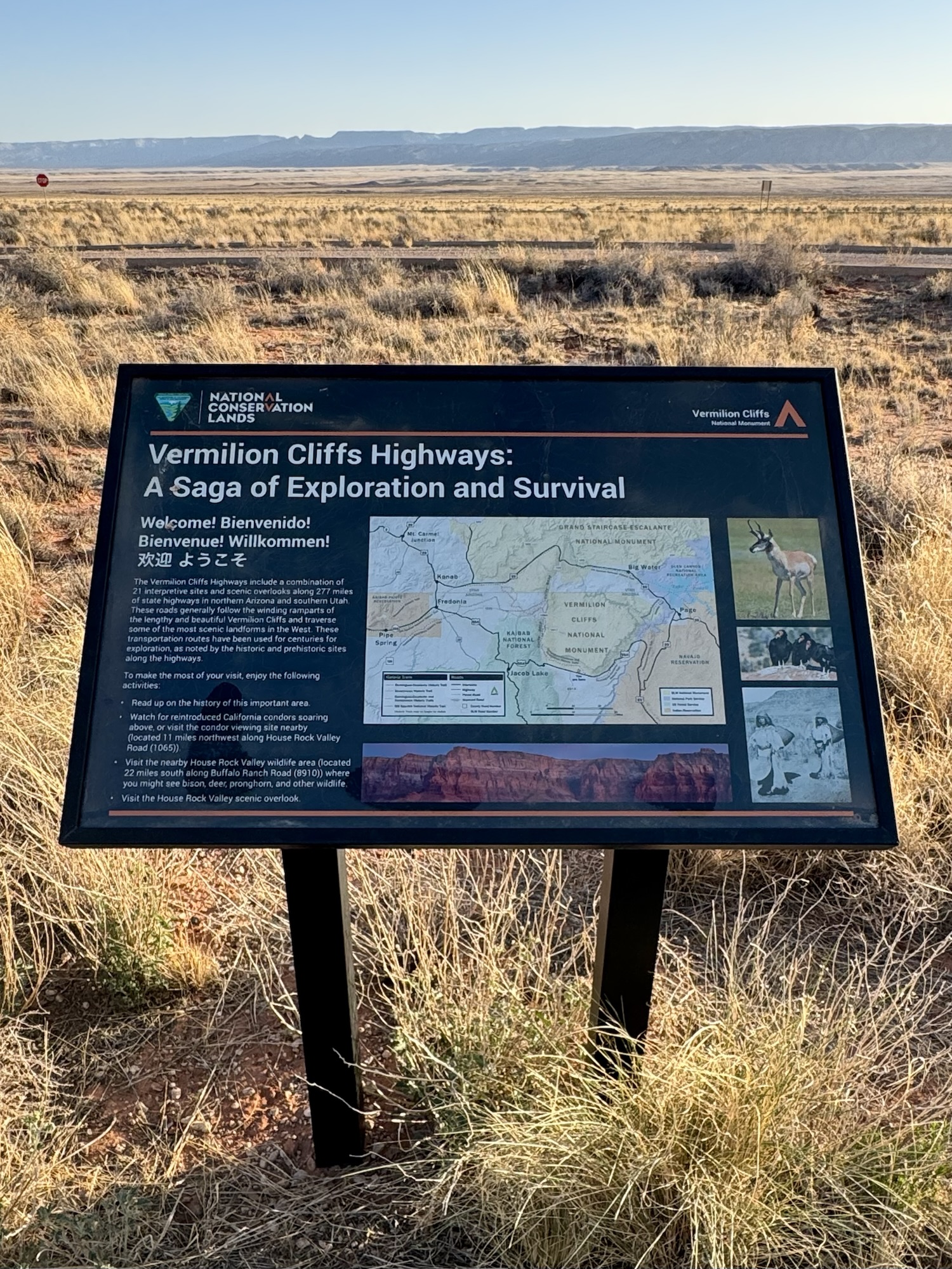
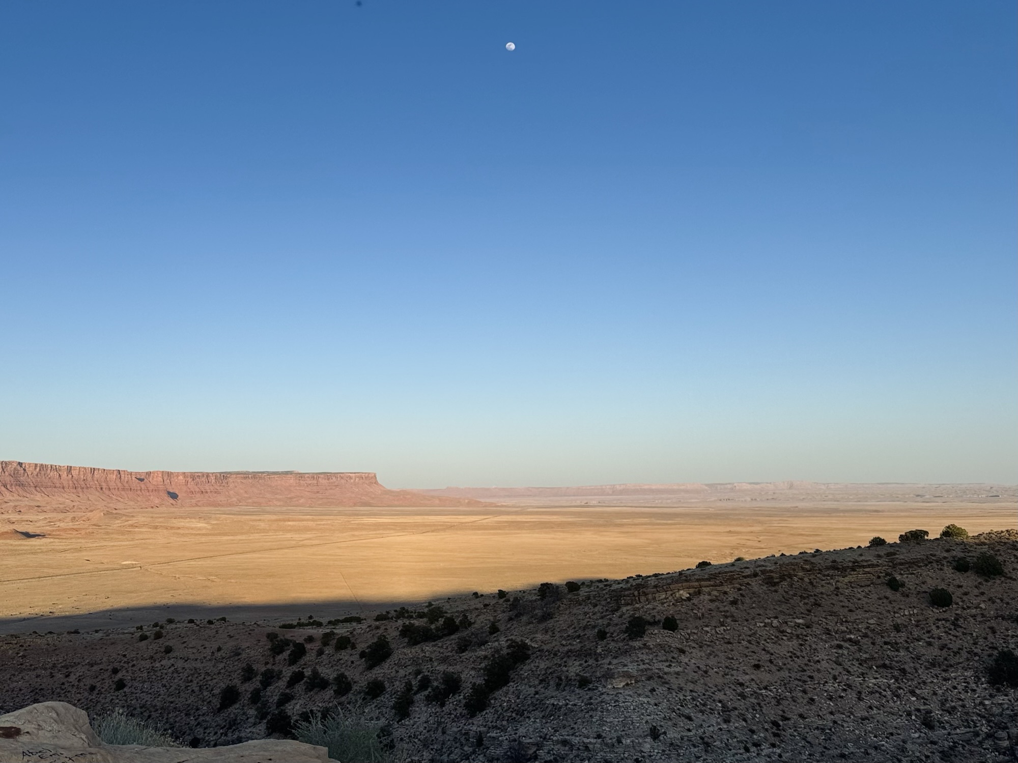
Even though the sun was laser beaming us, it was the perfect time of day to be out here because the canyon walls were lit up in all different neon pinks and oranges that shifted in color as sunset continued. It was super pretty.

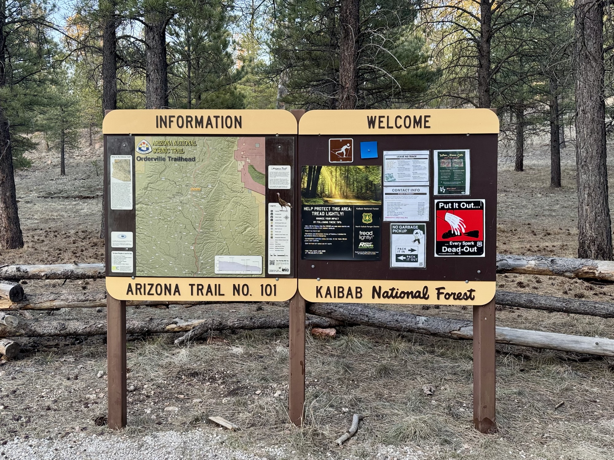
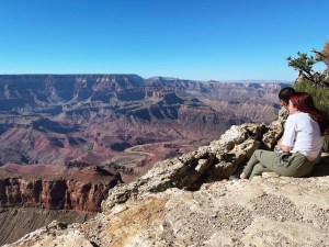
We crossed the boundary into the Kaibab National Forest, stopped here so Ike could venture into the woods for another geocache, and started seeing signs for the North Rim of the Grand Canyon which by this point in early April was still closed due to snow.
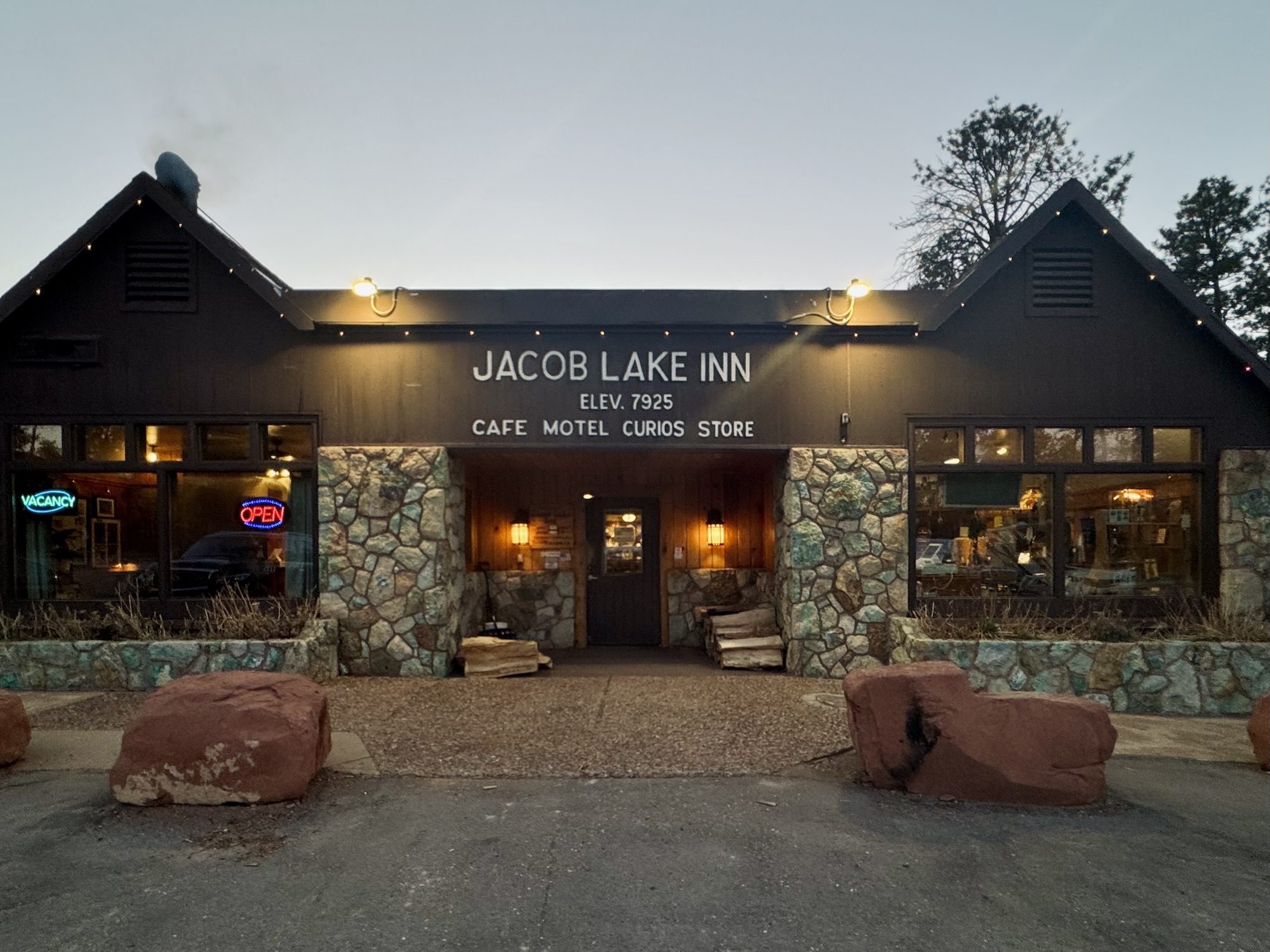
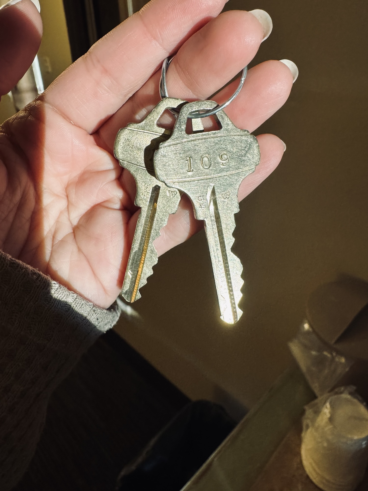
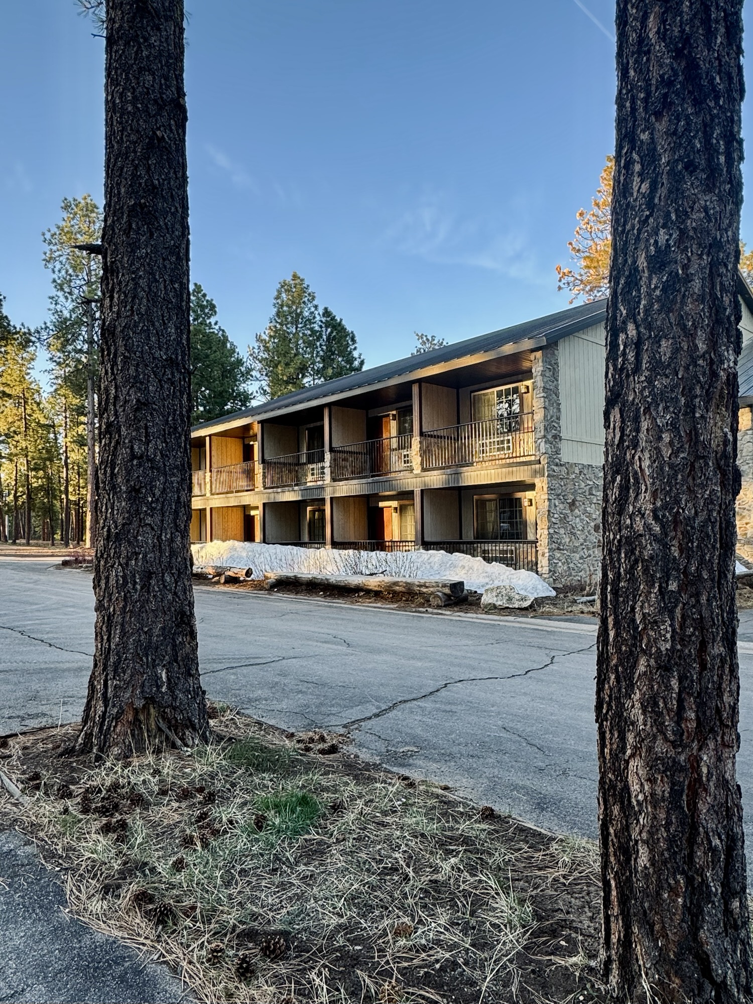
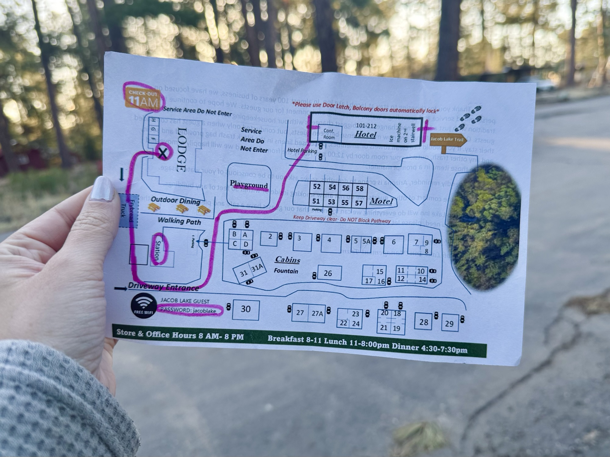
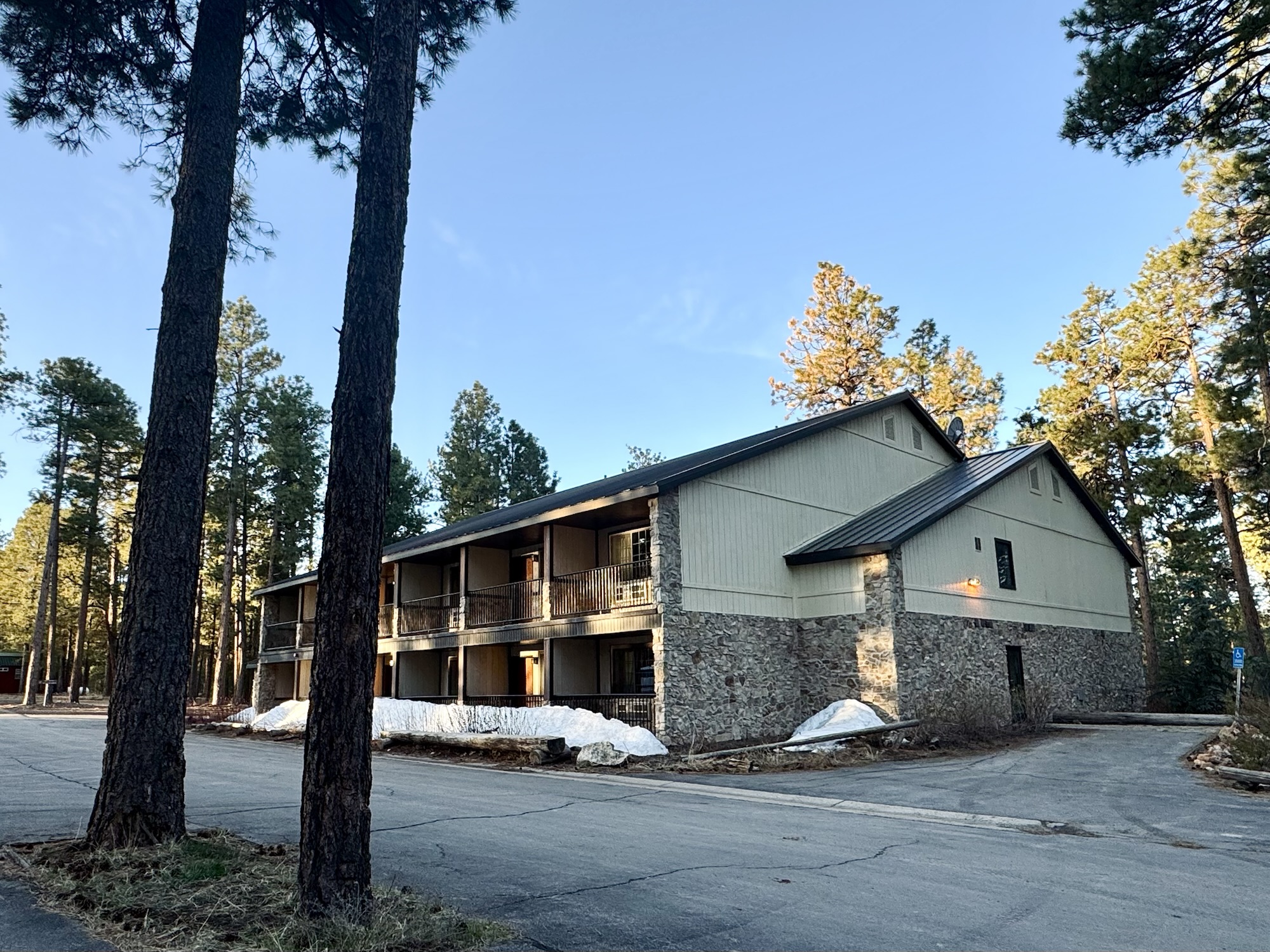
We made it to our digs for the night at Jacob Lake Inn right before they closed. The staff member who greeted us was seriously *so* nice, definitely one of the nicest people we encountered on this trip.
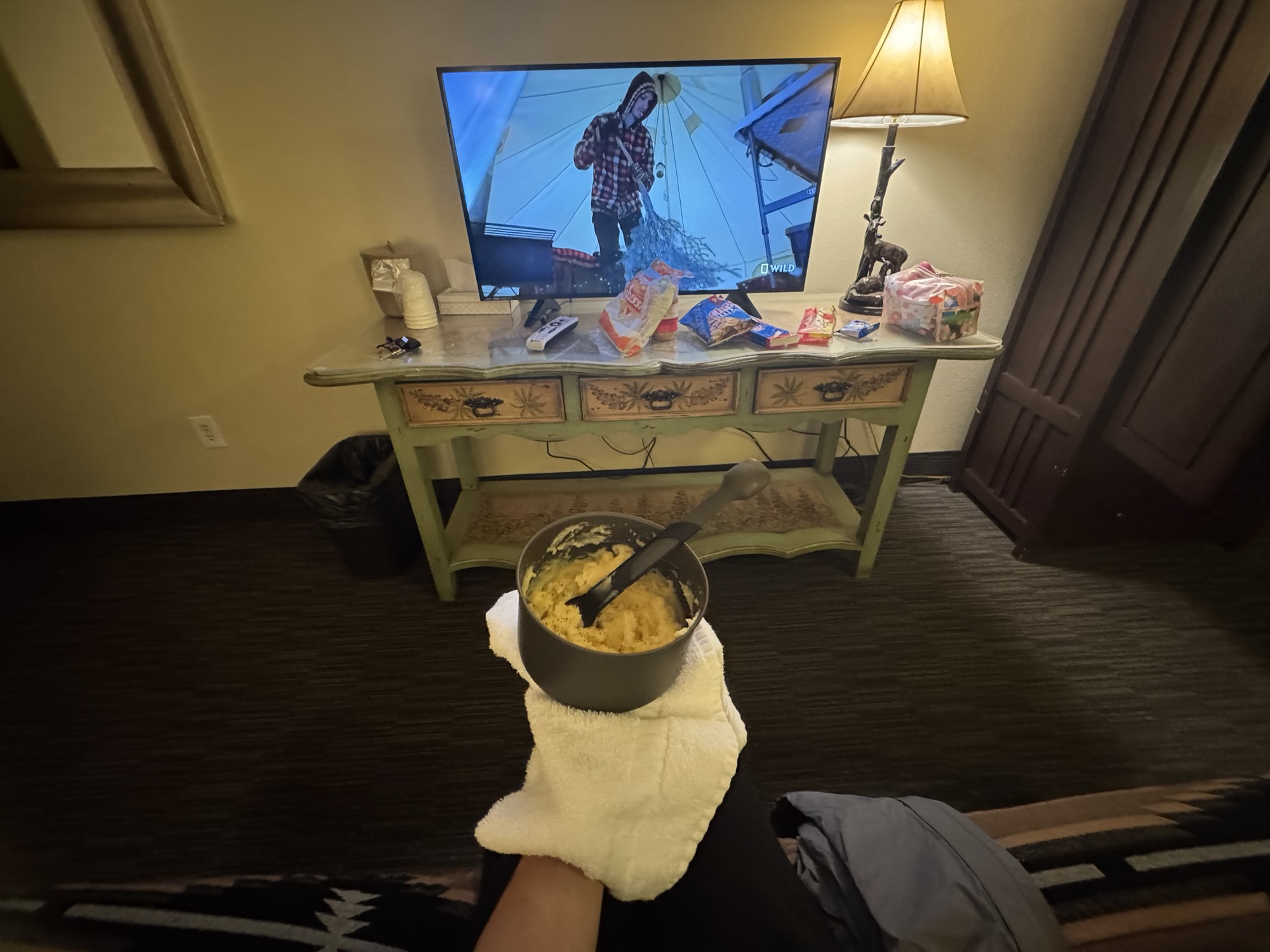
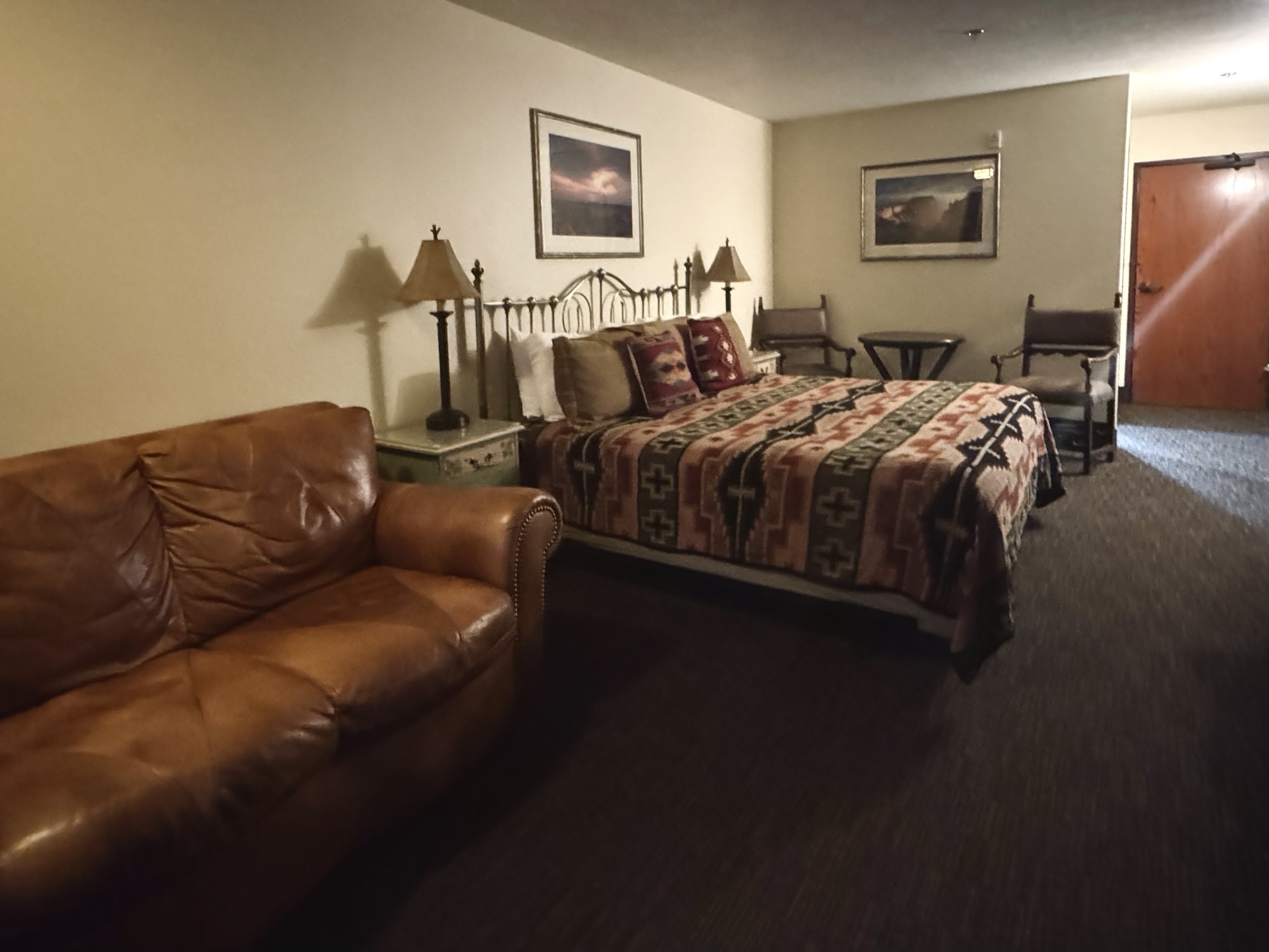
By the time we got here, their cafe was on the verge of closing and there were absolutely no other available food options, so we found our room and broke out our camp food supplies. Nothing a little peanut butter tortilla, ramen, and instant mashed potatoes can’t fix. Look at that lil buffet.
The bedspread/comforter here was the most comfortable thing in the world and I would pay good money to be able to take it home with me.
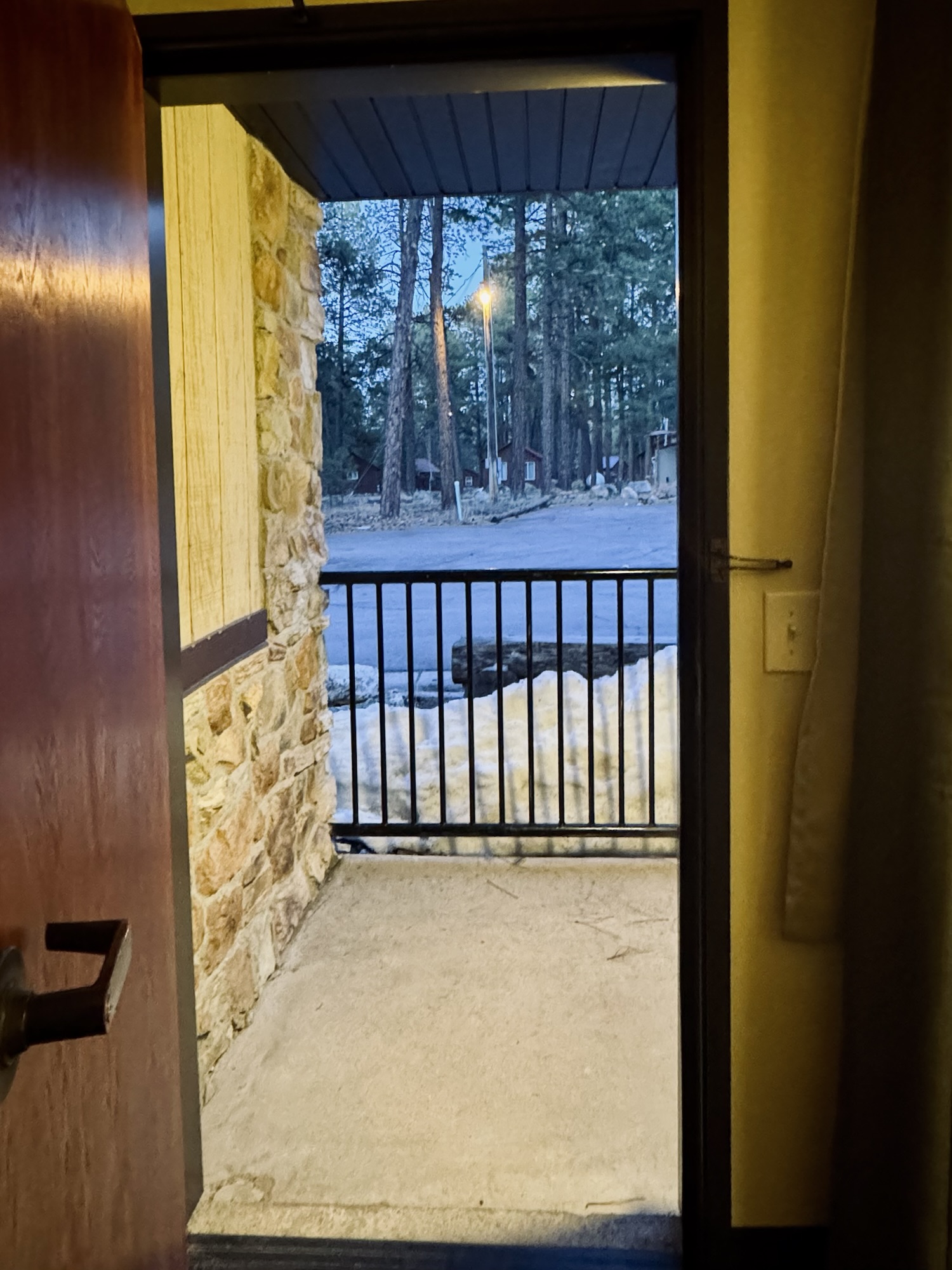
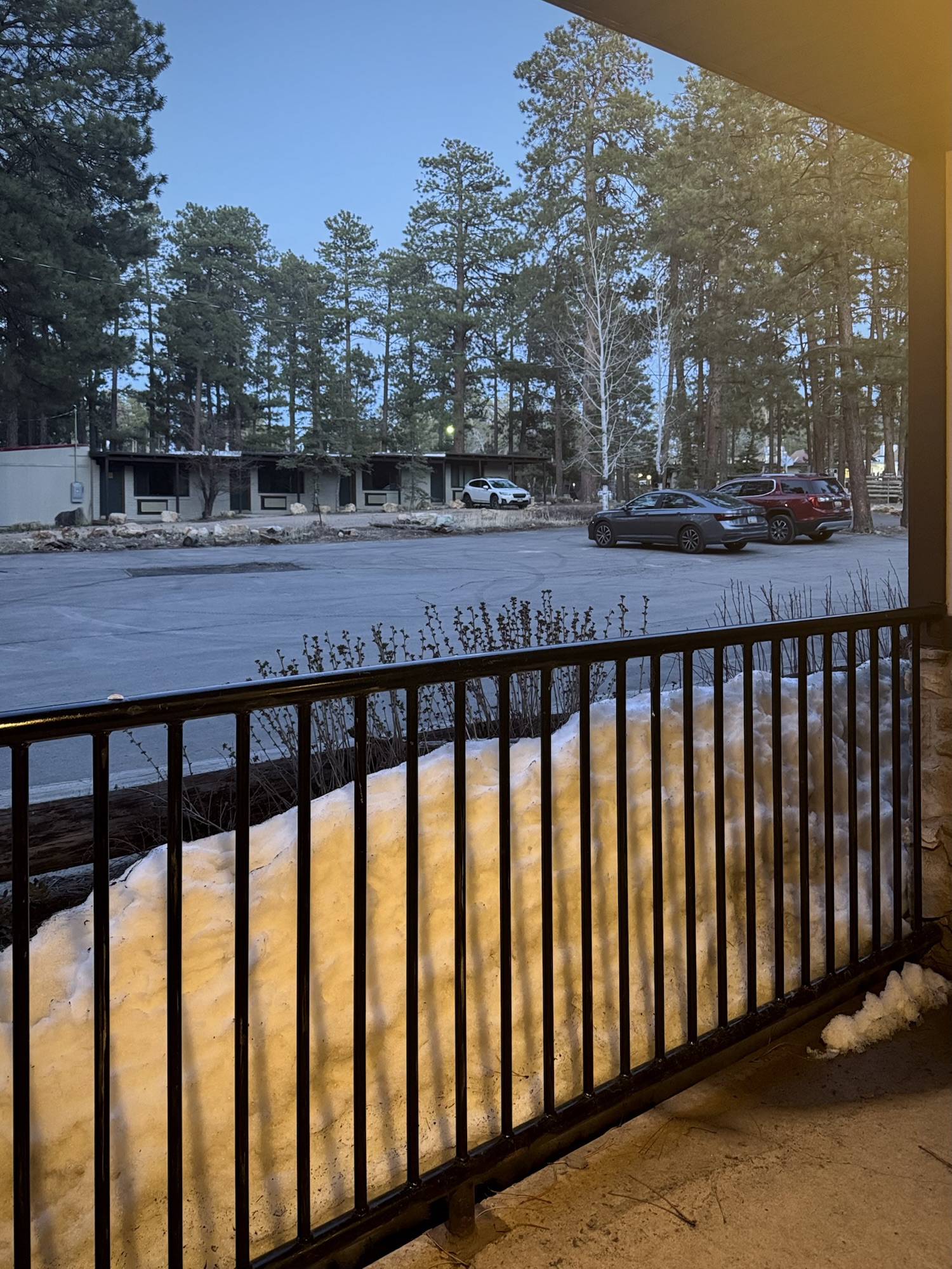

After being in such hot weather all day, it was so weird to have come up in elevation and have a snowbank on our little porch.
As per usual, we packed up as early as we could stomach in the morning and back-tracked out of the Kaibab National Forest (aka Grand Canyon land) and into the Vermilion Cliffs and 89A.
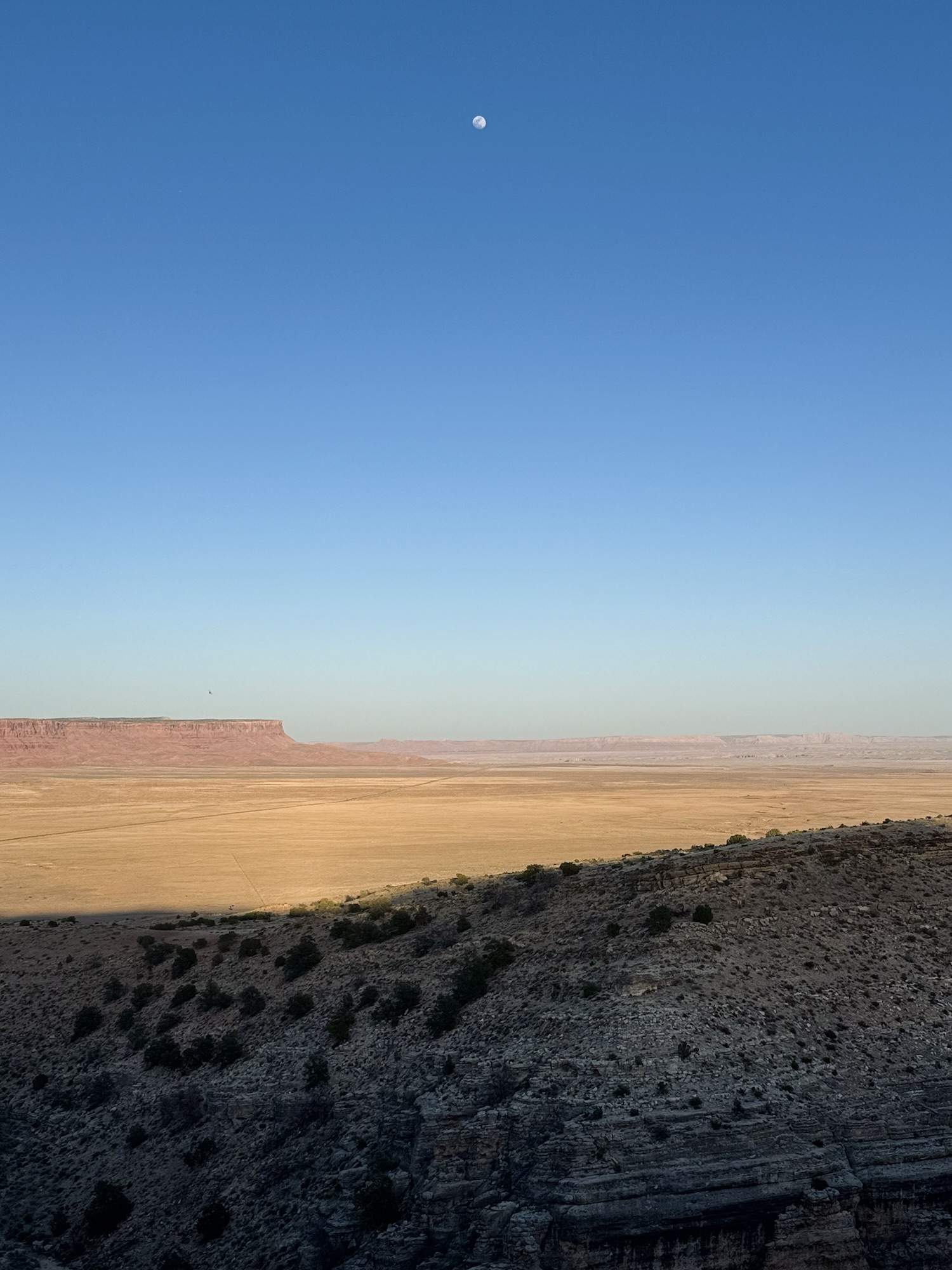
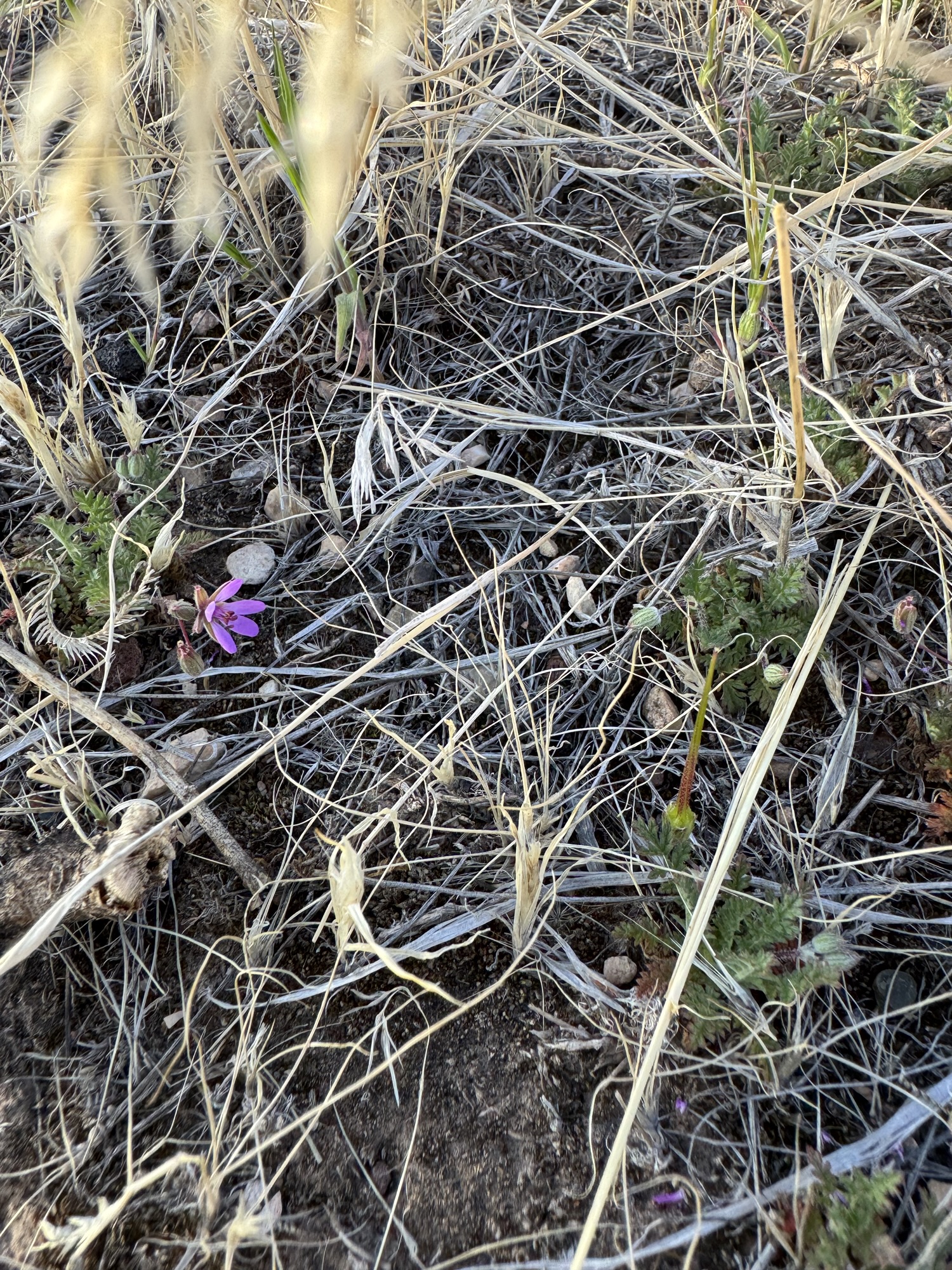
There was a little geocache we couldn’t safely get the evening before because of the road angle, so we took a sec to pull over from this direction, find it real quick, and soak in the sunrise coming over where we’d watched sunset yesterday.

Our next drive was a not-so-quick 2.5 hours to Wupatki National Monument, the first of several National Monuments based around ancient Native American ruins we planned to see on this trip. This area is so dense with them and they’re each so unique in their own right.
Anyway, more on that later. 🙂
Here’s what the afternoon of driving looked like, in case you’re curious like I’d be:

The history of the Navajo Bridges via NPS:
https://www.nps.gov/glca/learn/historyculture/navajobridge.htm
More about the Glen Canyon National Recreation Area:
https://www.nps.gov/glca/index.htm
More about the Dominguez-Escalante Trail via BLM:
https://www.blm.gov/visit/dominguez-escalante-site
Vermilion Cliffs via BLM:
https://www.blm.gov/national-conservation-lands/arizona/vermilion-cliffs
Visit Jacob Lake Inn:
https://jacoblake.com/


Leave a comment