

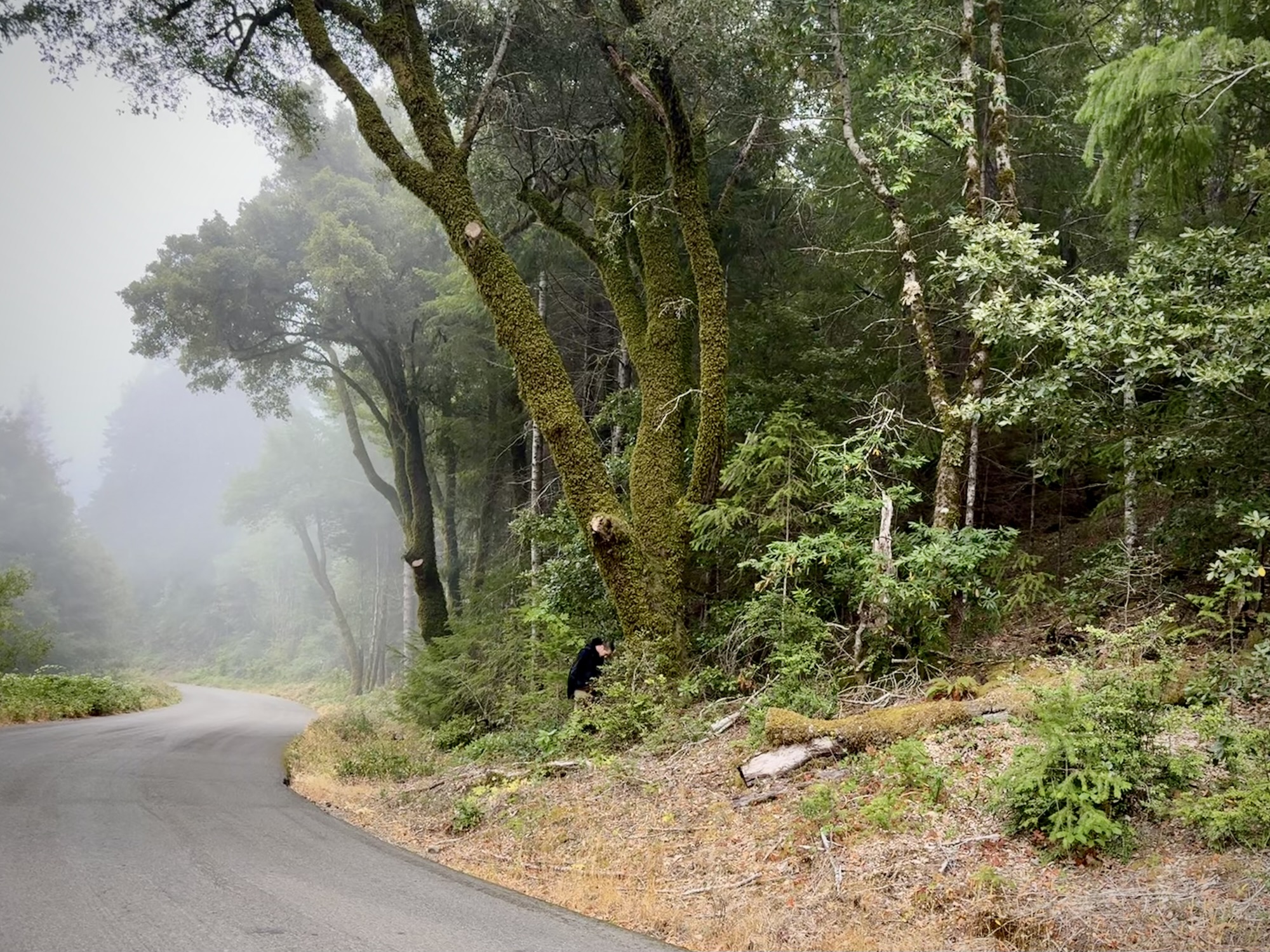
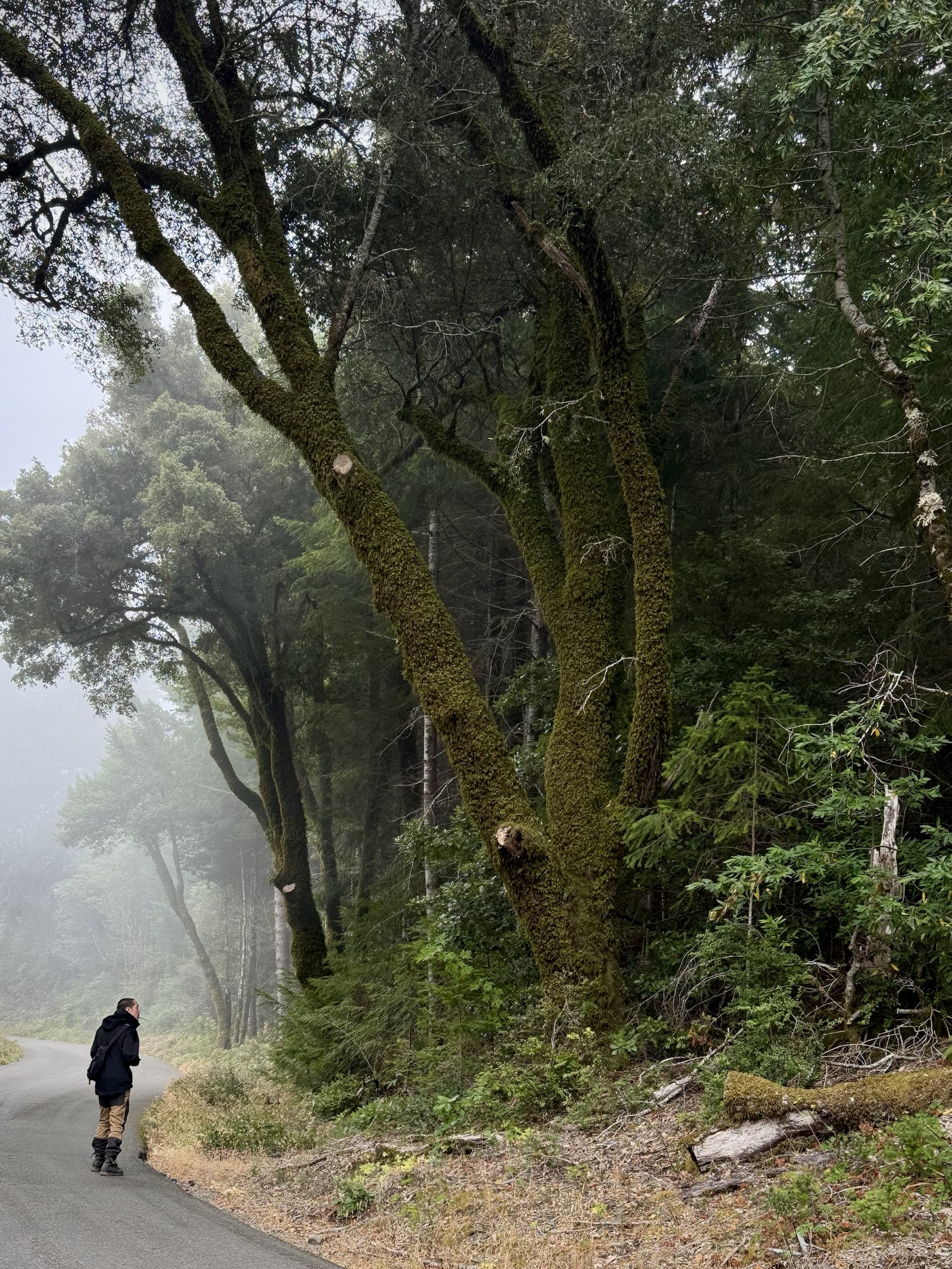
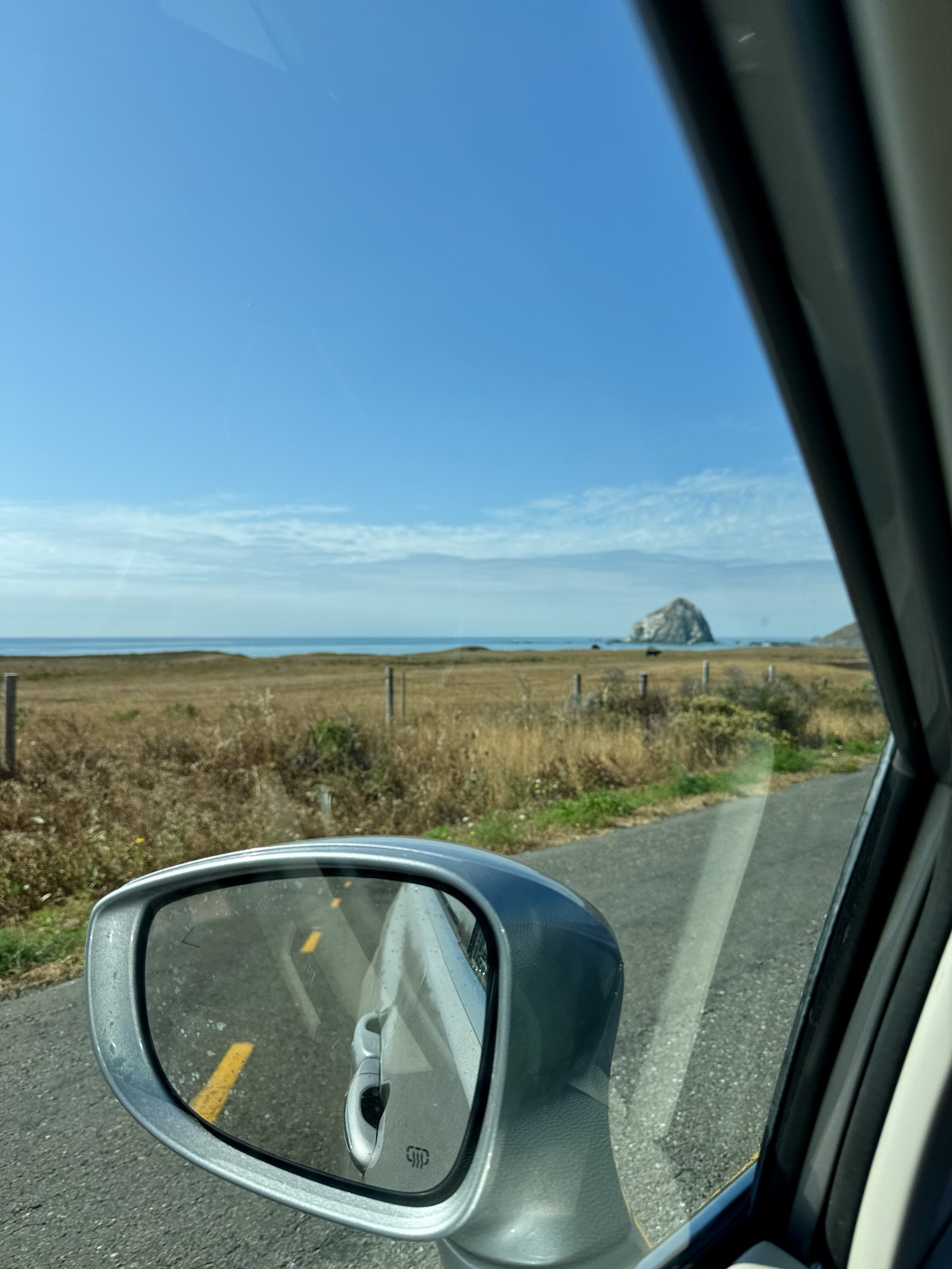
After spending the early-early morning among the redwoods, we made a not-so-quick detour off of the Avenue of the Giants and into the King Range National Conservation Area. This is the Lost Coast area and is the longest stretch of undeveloped coast in the lower 48 states.
- Geocaching in Shelter Cove
- Brunch at Black Sands Bistro
- Black Sands Beach @ King Range National Conservation Area
- Mattole Road
- Geocaching in Ferndale
- The overall route…
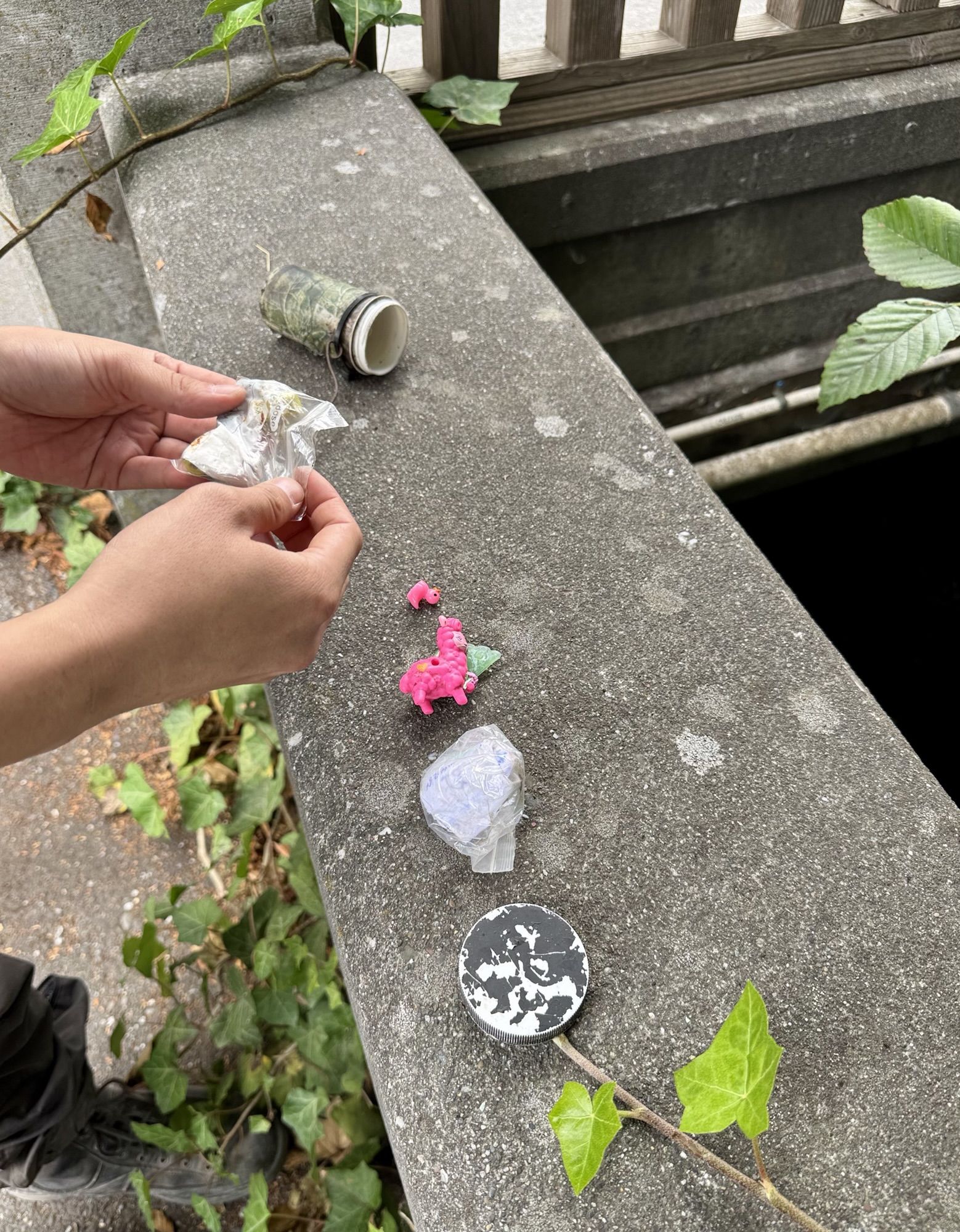
Geocaching in Shelter Cove
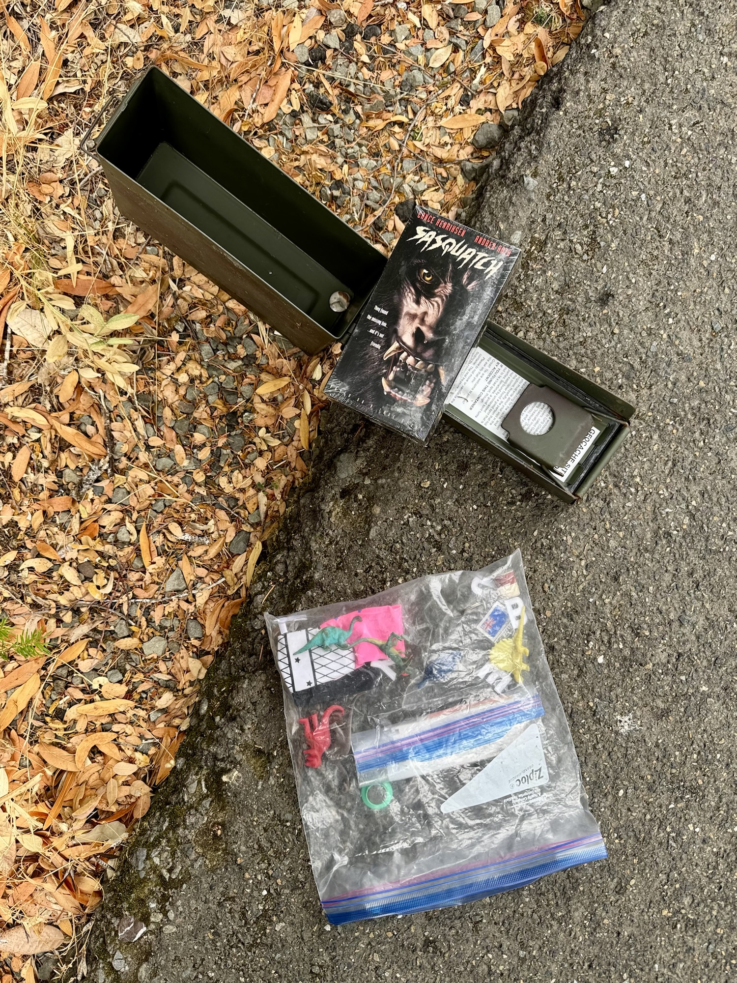
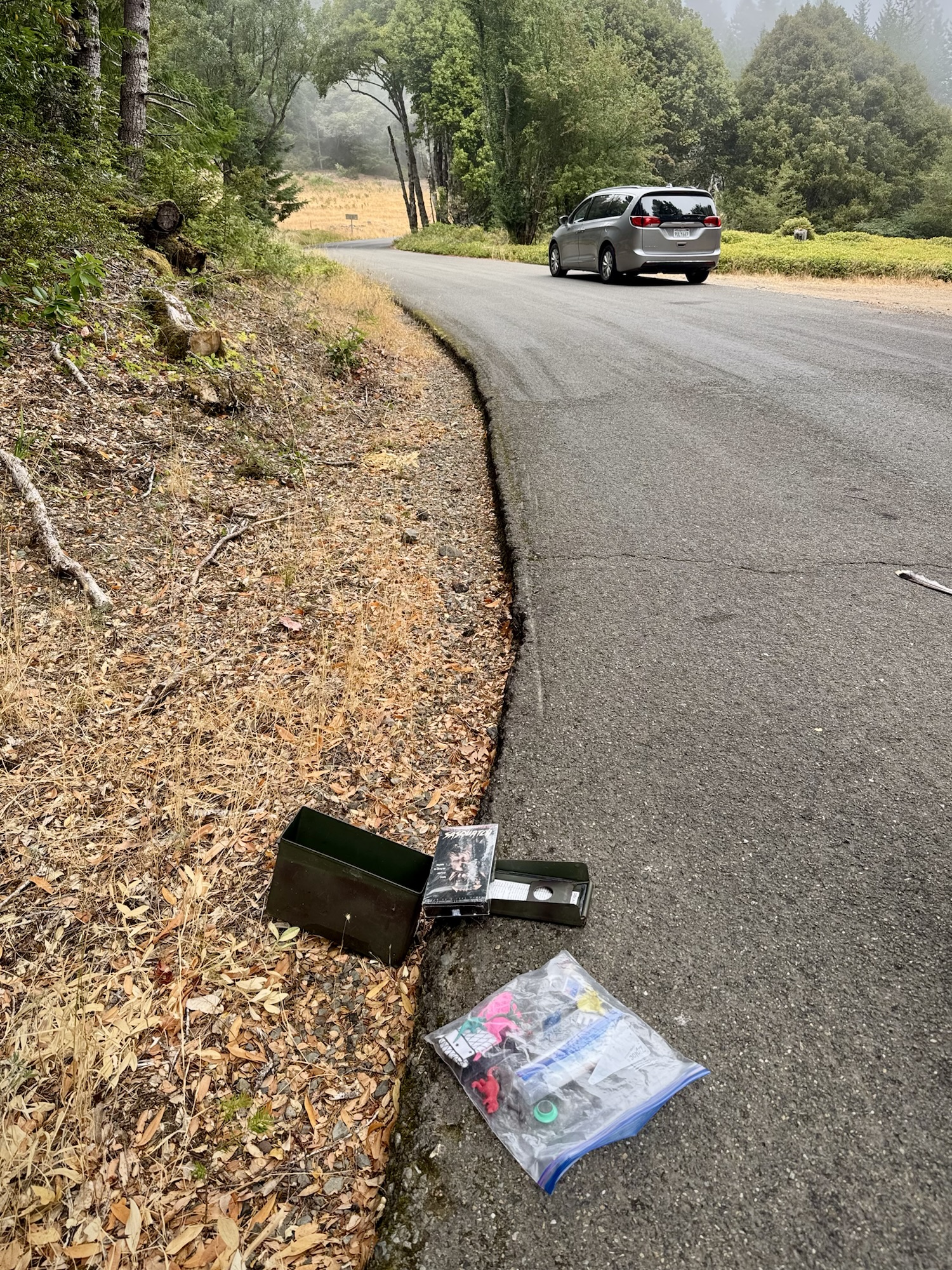

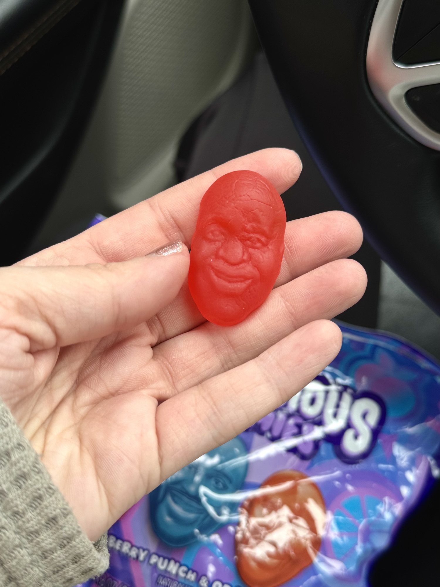
Around 10AM, we arrived in Shelter Cove. It was aesthetically grey and foggy, and it was a pain in the butt to find this geocache but we had such a good chuckle when we did. I love that someone dropped off this unopened Sasquatch DVD. Also I was obsessed with these Shaq gummies for this entire trip.
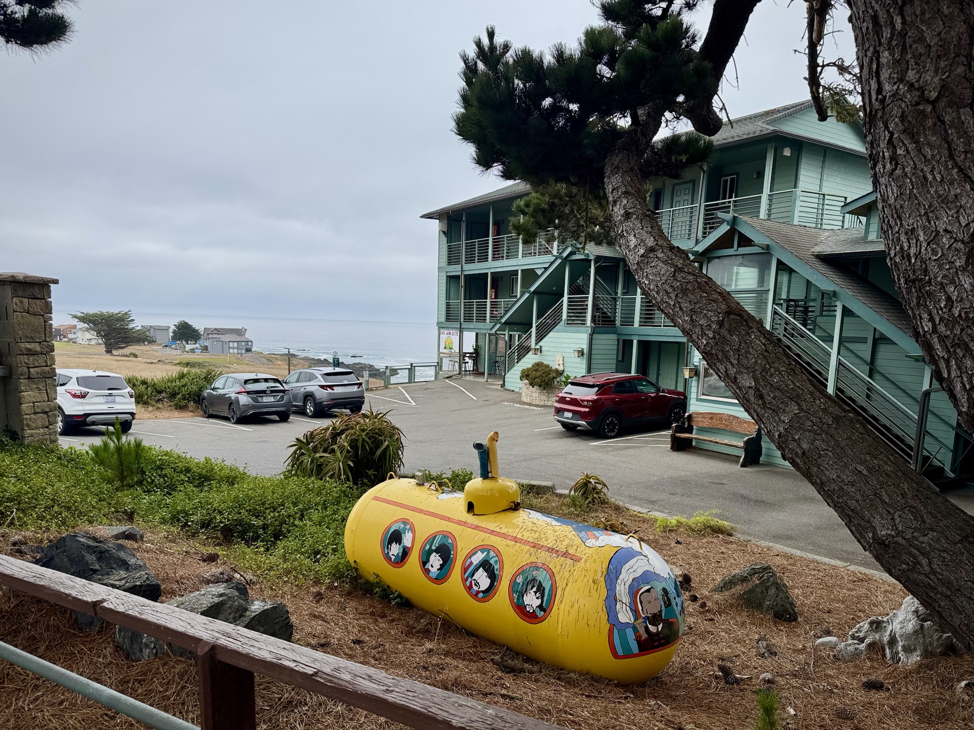
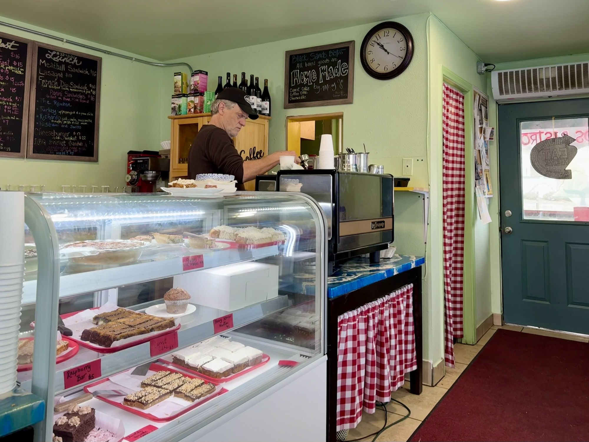
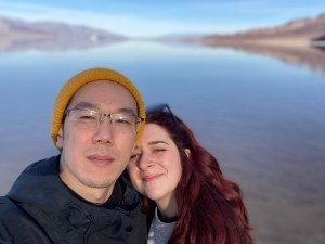
Brunch at Black Sands Bistro


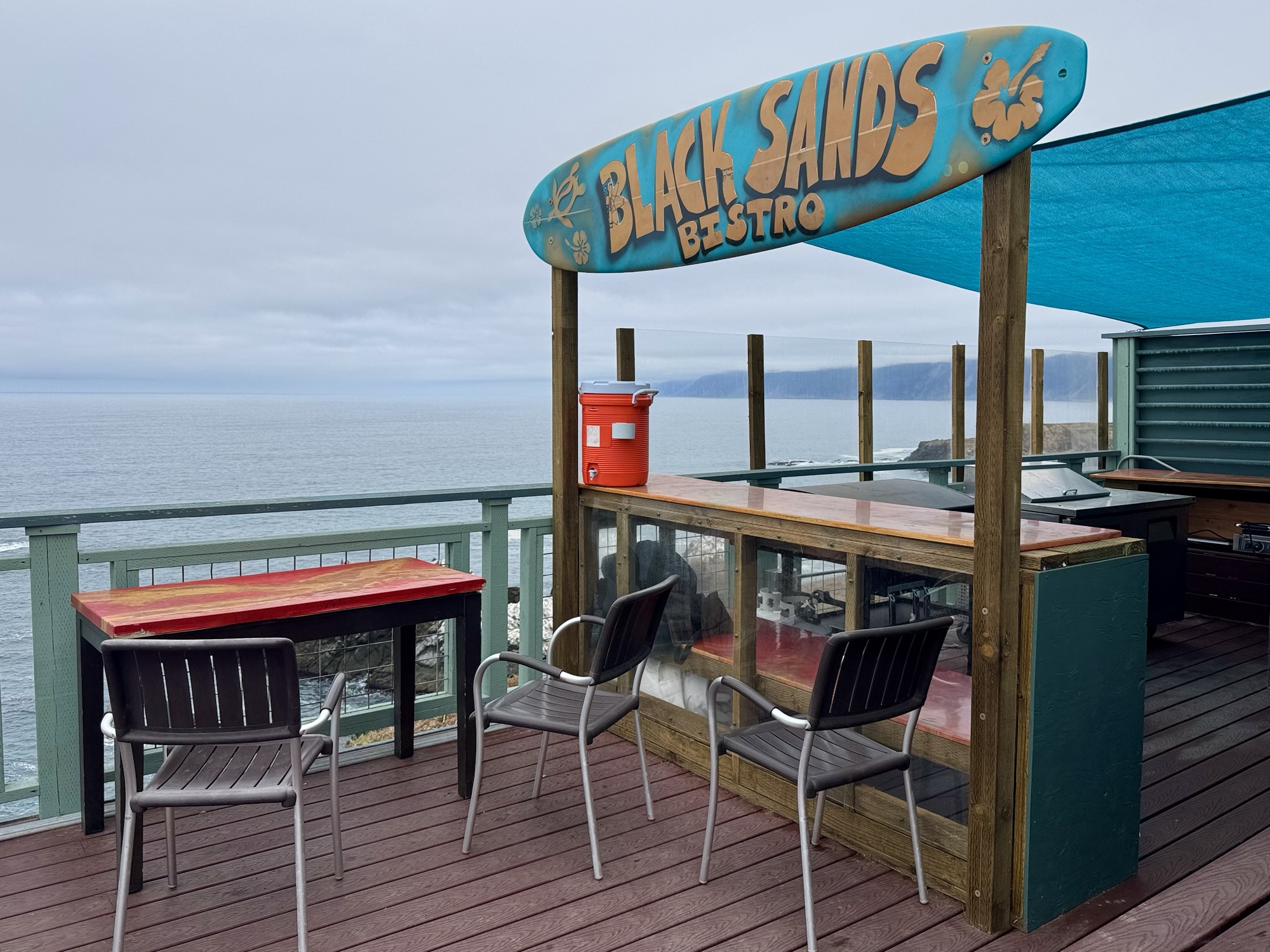

The Lost Coast area has very few services, businesses (especially chains), and lots of areas of minimal cell phone signal. And the places that do dot the drive can have some pretty unique hours, close unexpectedly, and/or take cash only.
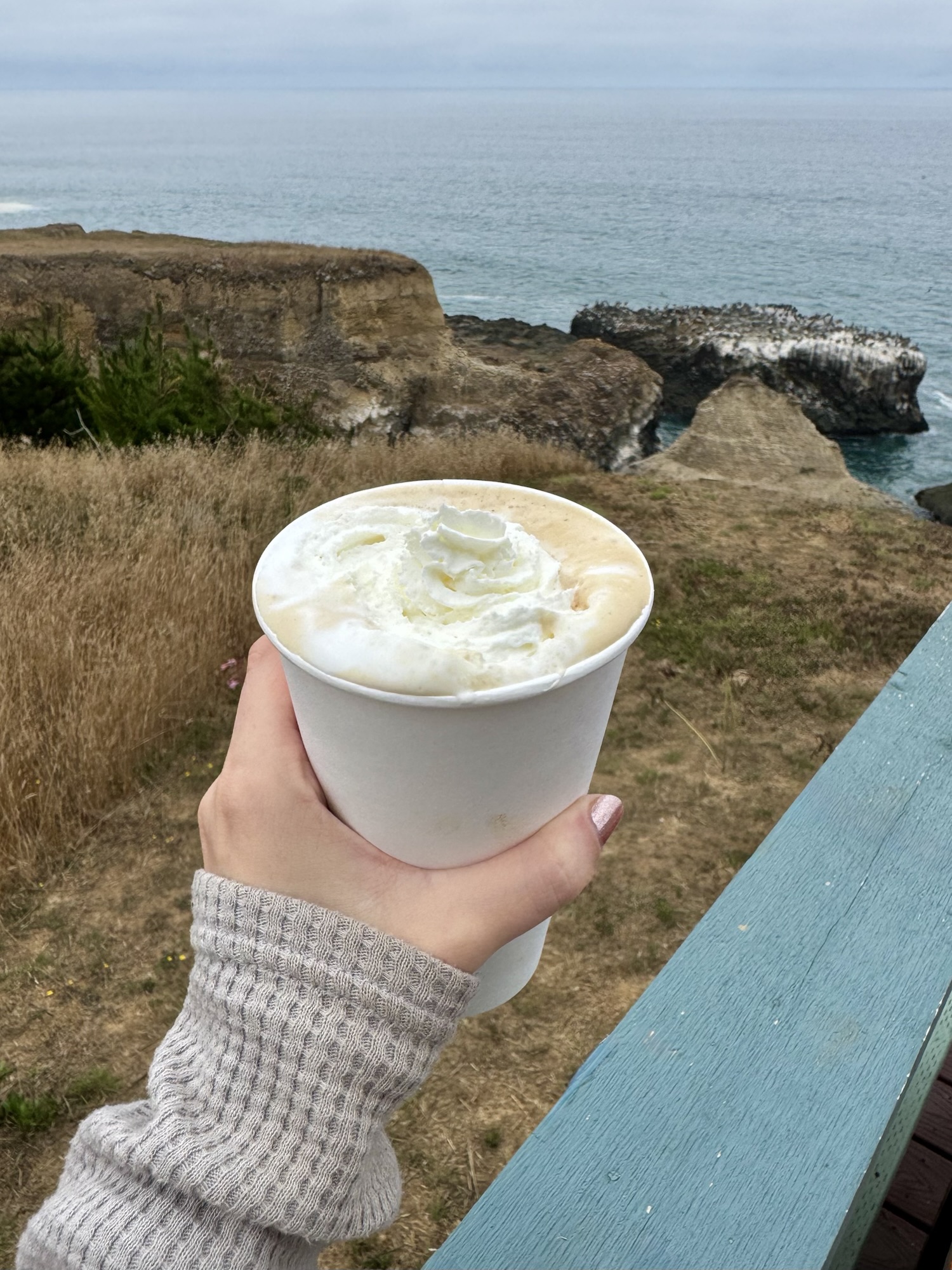
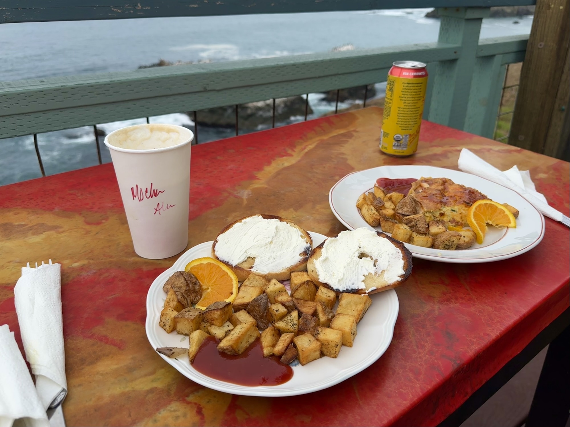
Finding Black Sands Bistro was super lucky. The staff was so friendly and homey – with a little spice of sarcastic humor that we always love so much. This brunch hit the spot after surviving on Shaq gummies and Red Bull all morning. When will I ever eat a bagel and drink a mocha with a view like this ever again?
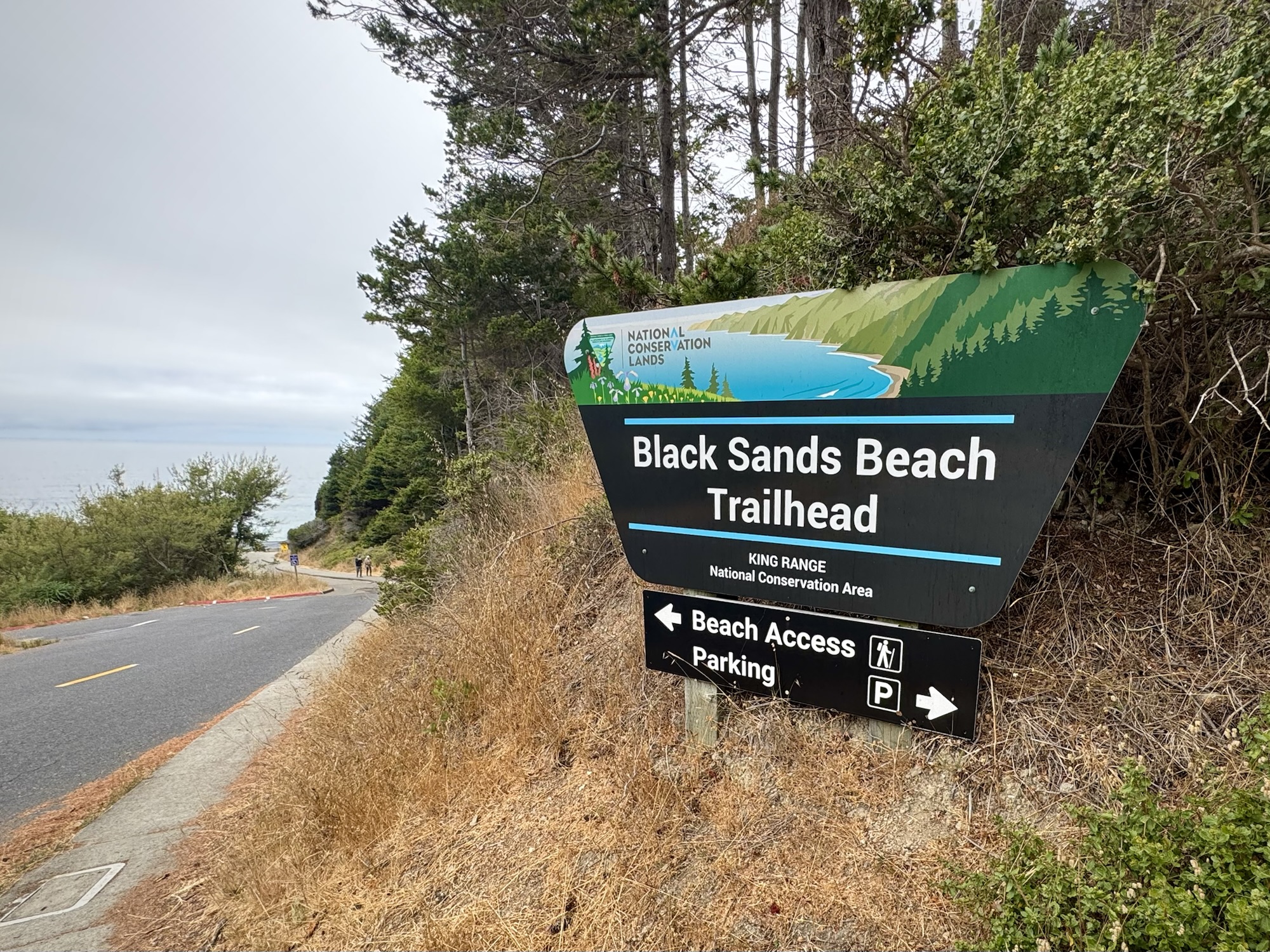
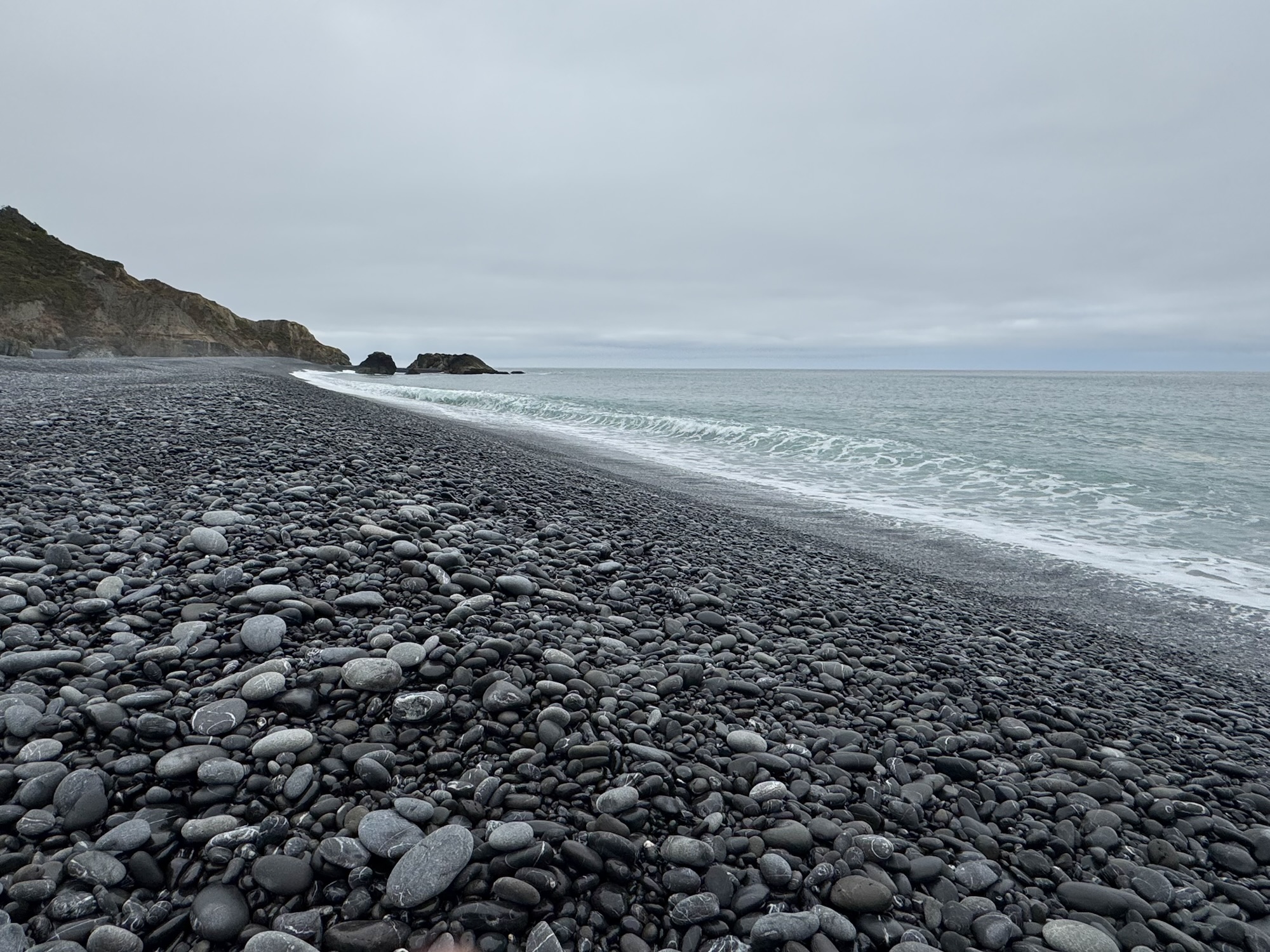
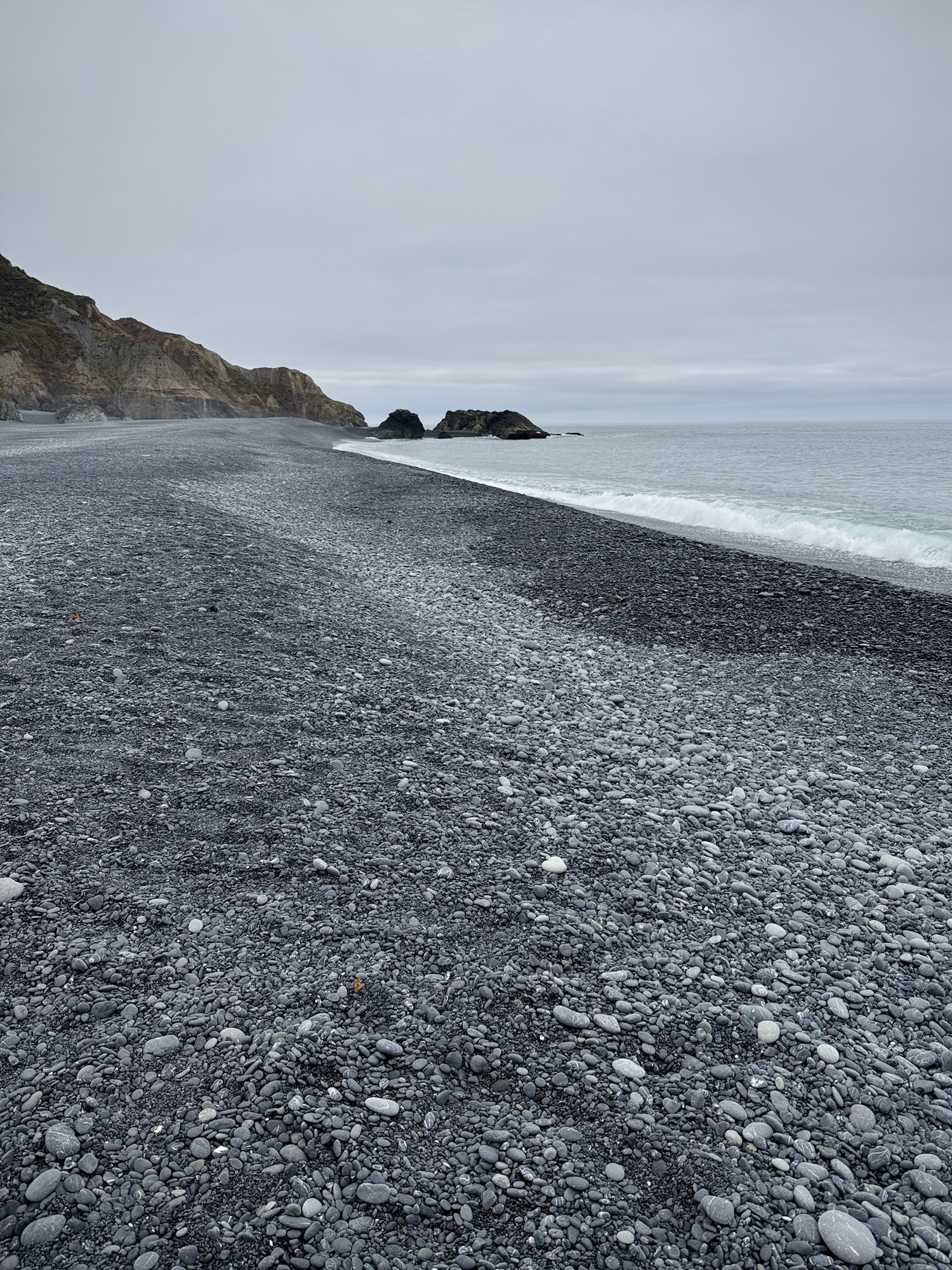
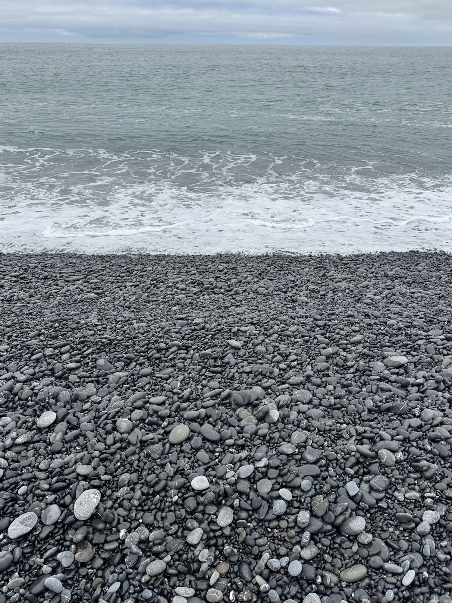
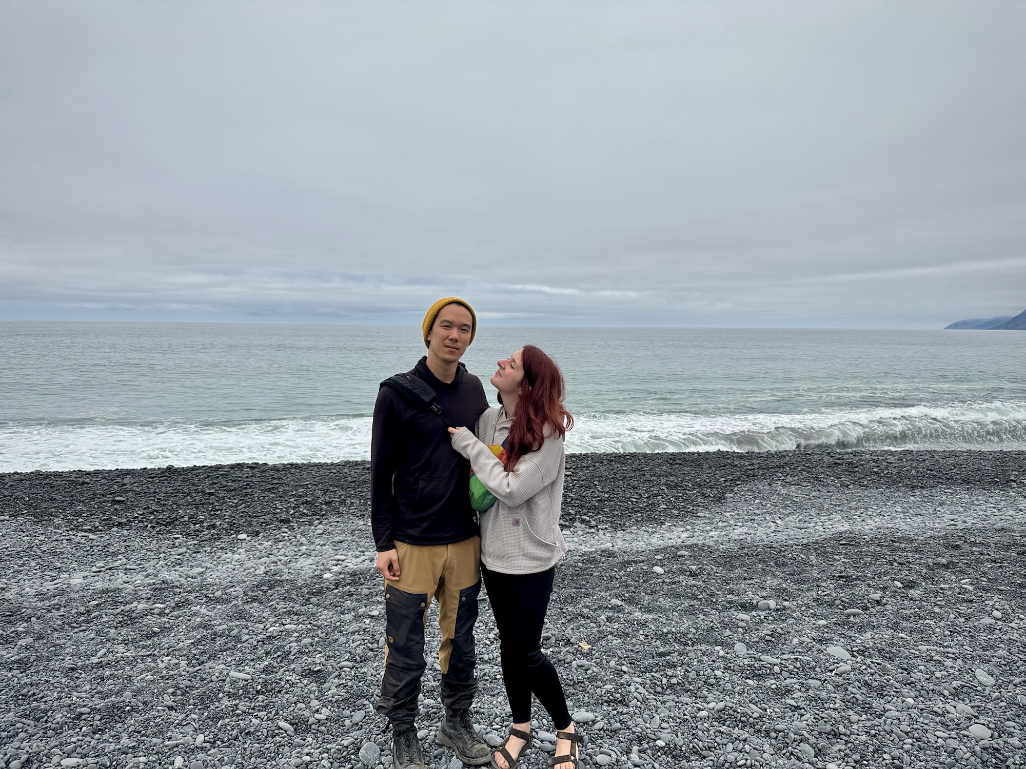
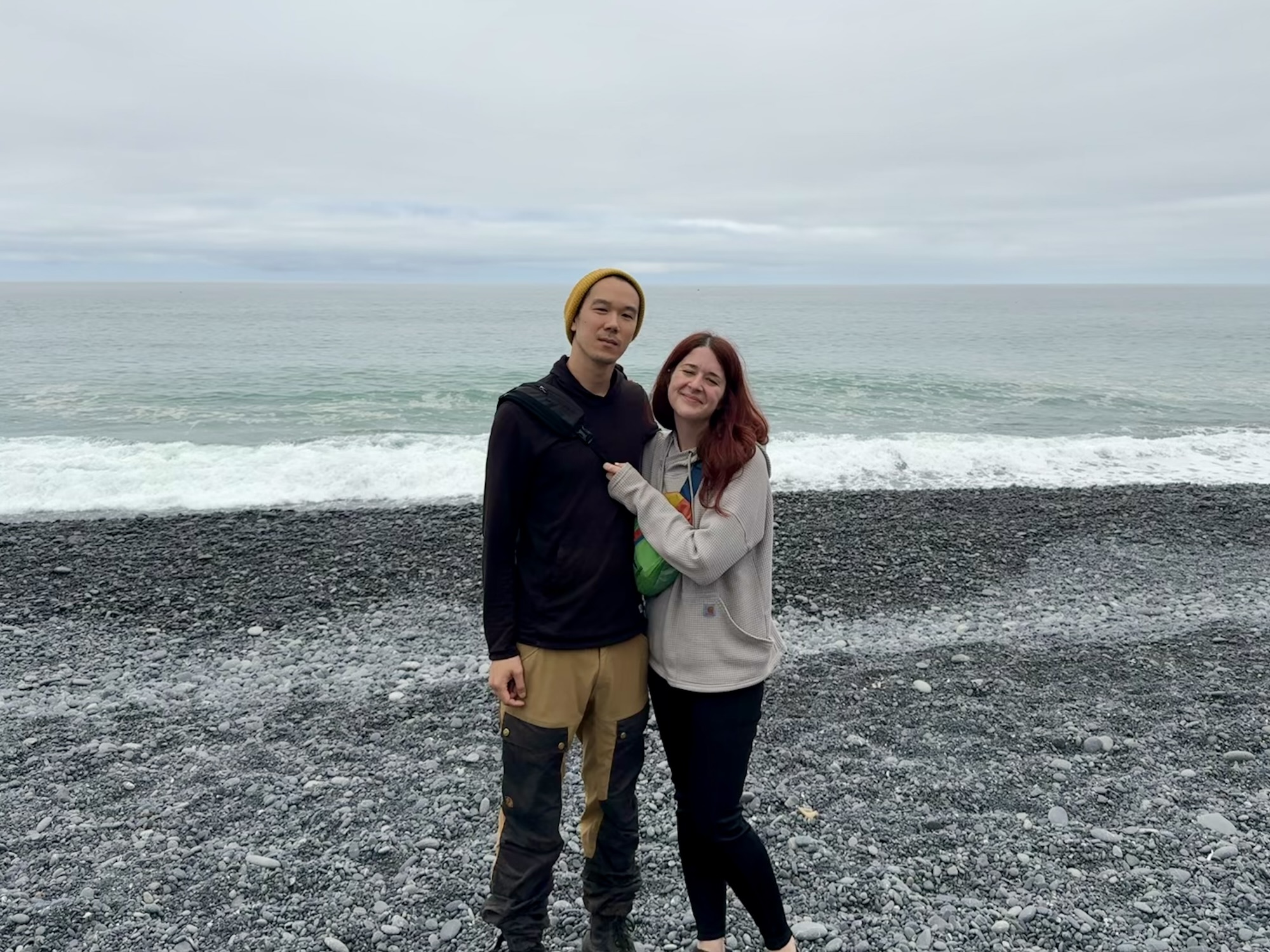
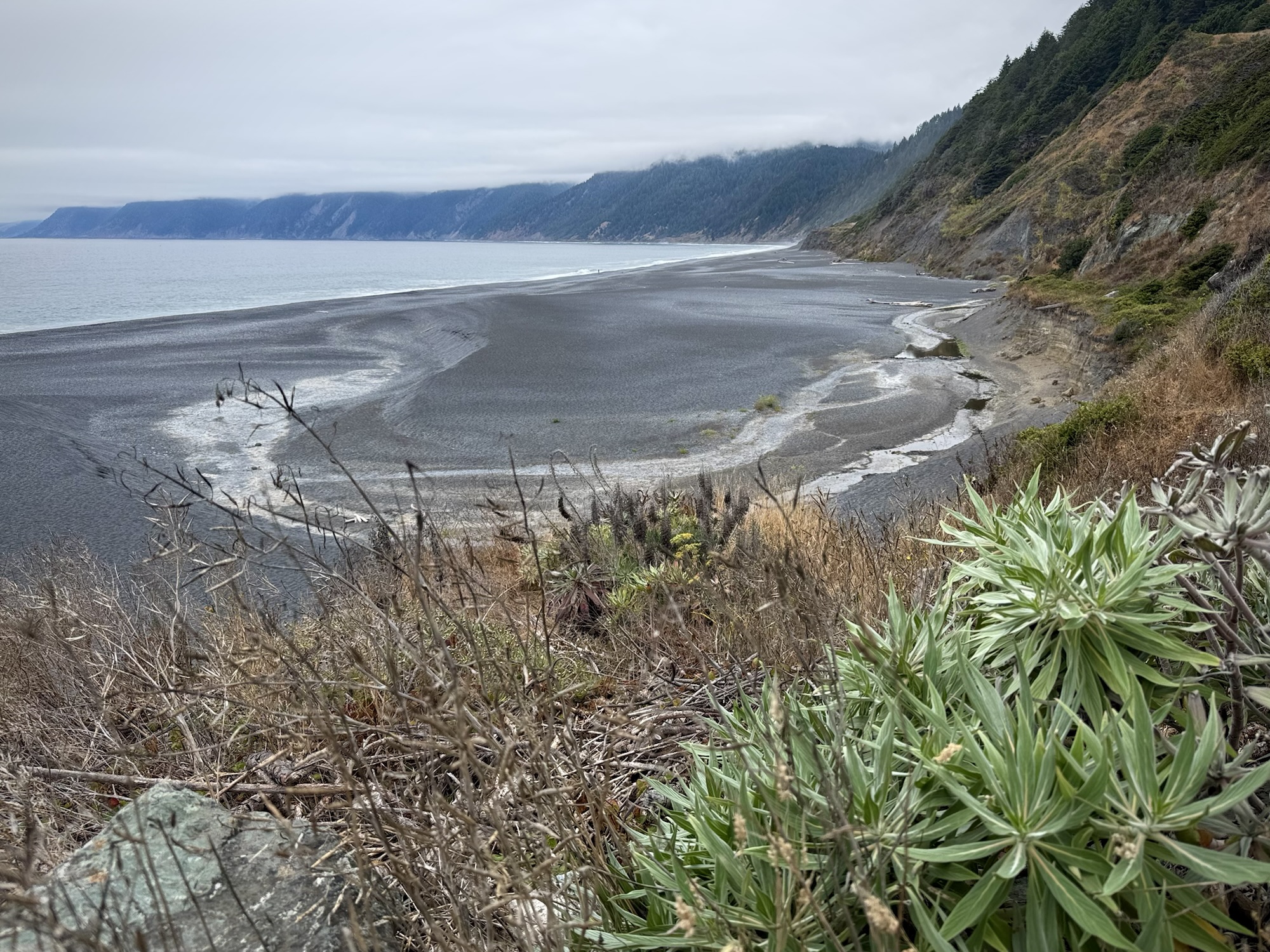
Black Sands Beach
@ King Range National Conservation Area
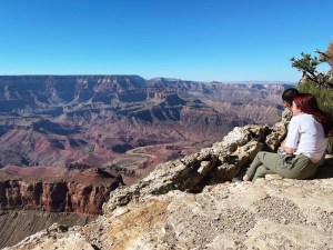
We meandered a mile or so down the road with full tummies to the parking lot for the “official” Black Sands Beach trailhead. We arrived around 11:30AM and there was still plenty of parking in the parking lot, but it was September. I can easily see how this place would be wildly busy in the summer.


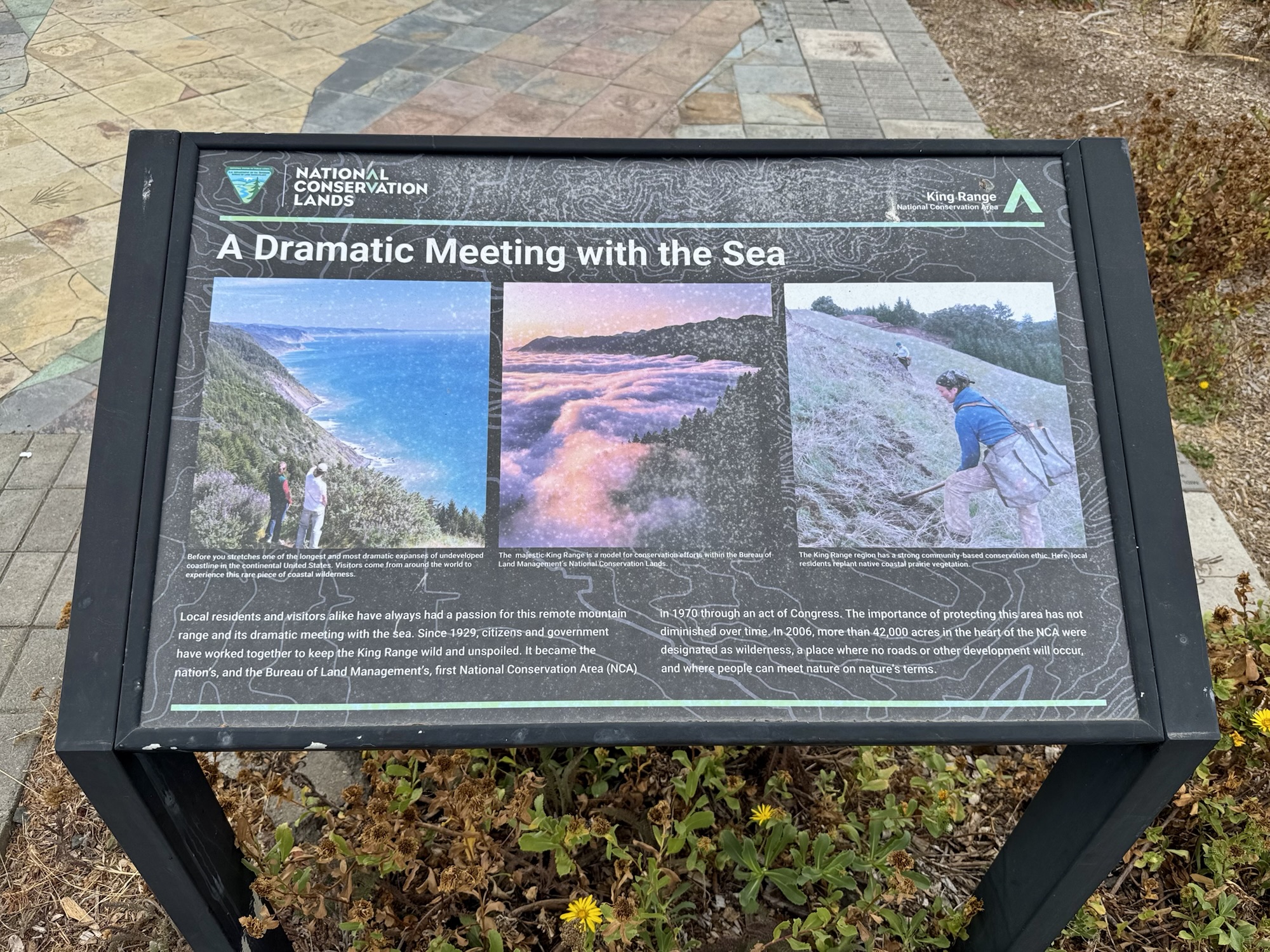
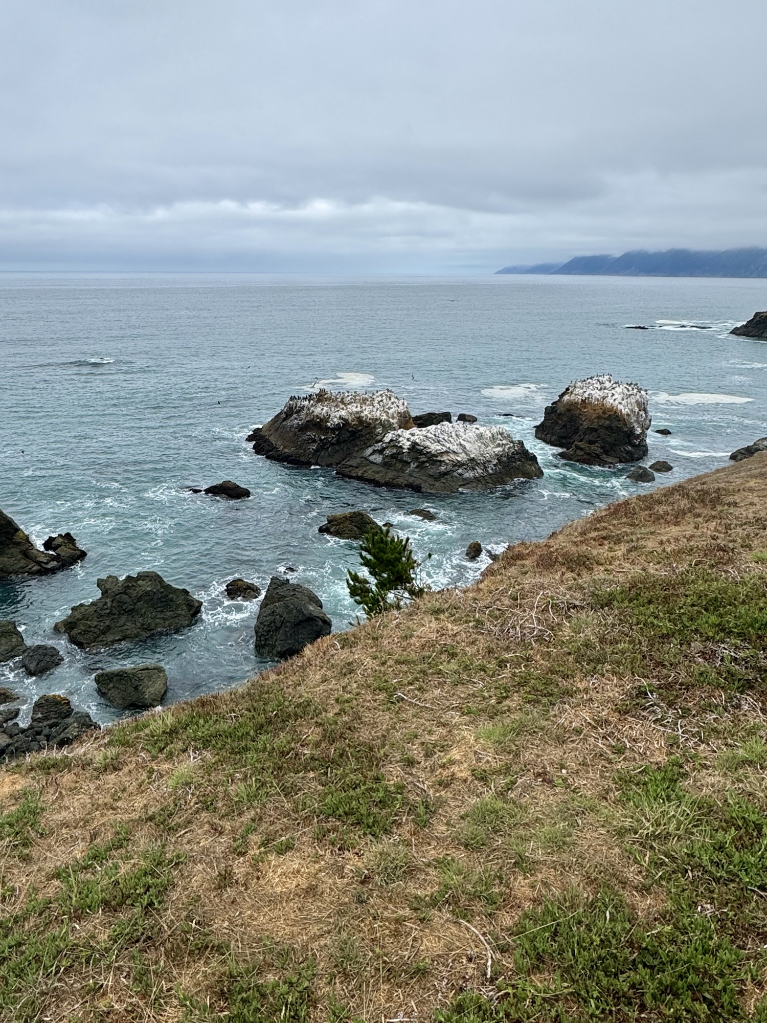
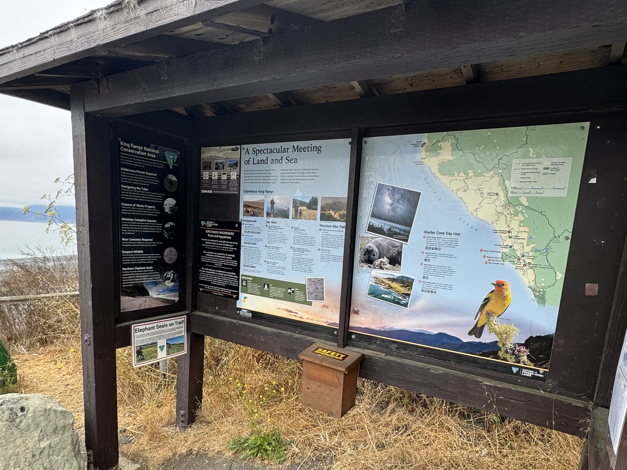
At the parking lot, there’s a beautiful overlook and view of the black beach below. I know I’m getting older because I seriously enjoy these interpretive signs. This one talks about local residents’ efforts to protect the Kings Range since 1929, and then this area became the United States’s first-ever National Conservation Area in 1970.
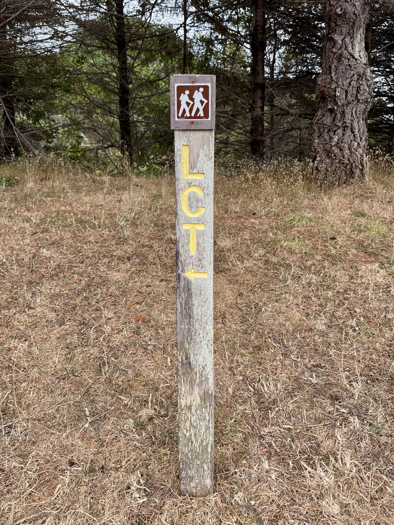
Then in 2006, they designated 42,000 acres of Kings Range as ‘wilderness’ where nothing is ever allowed to be built. The Lost Coast Trail, the LCT, weaves itself through this area and maaaannn it would be a total dream to hike it.

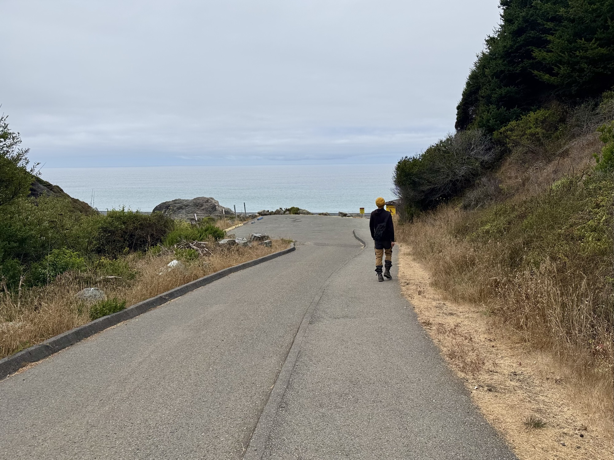

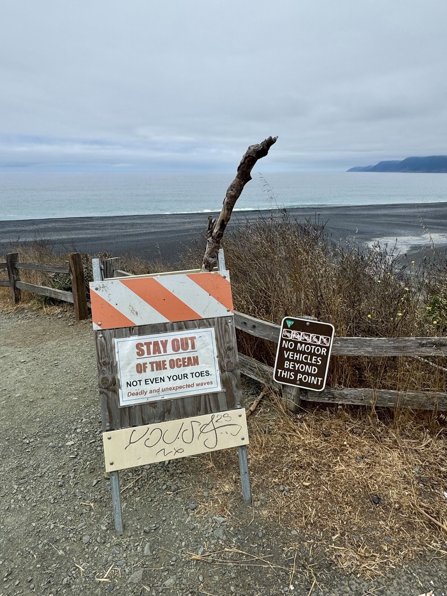

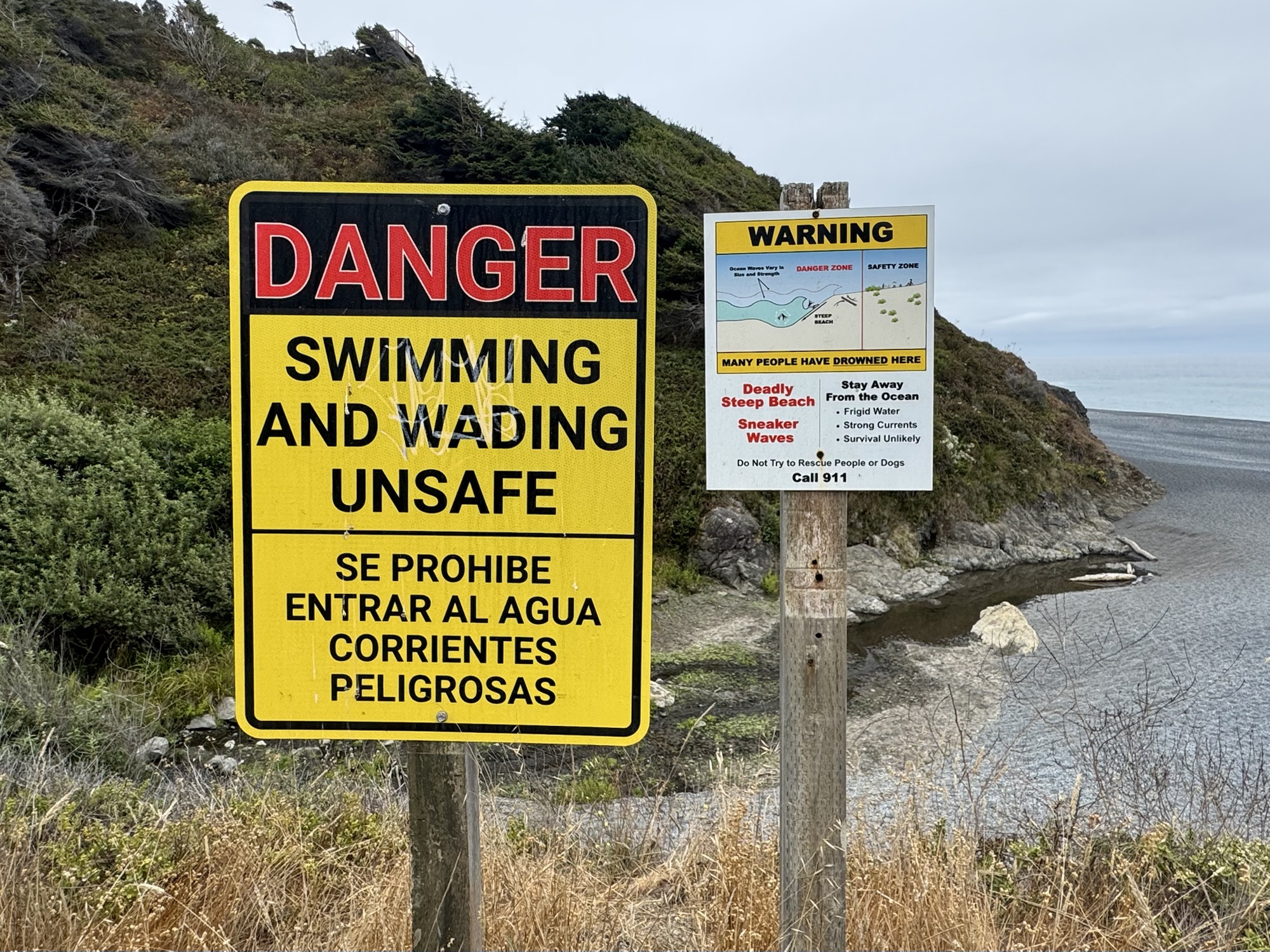
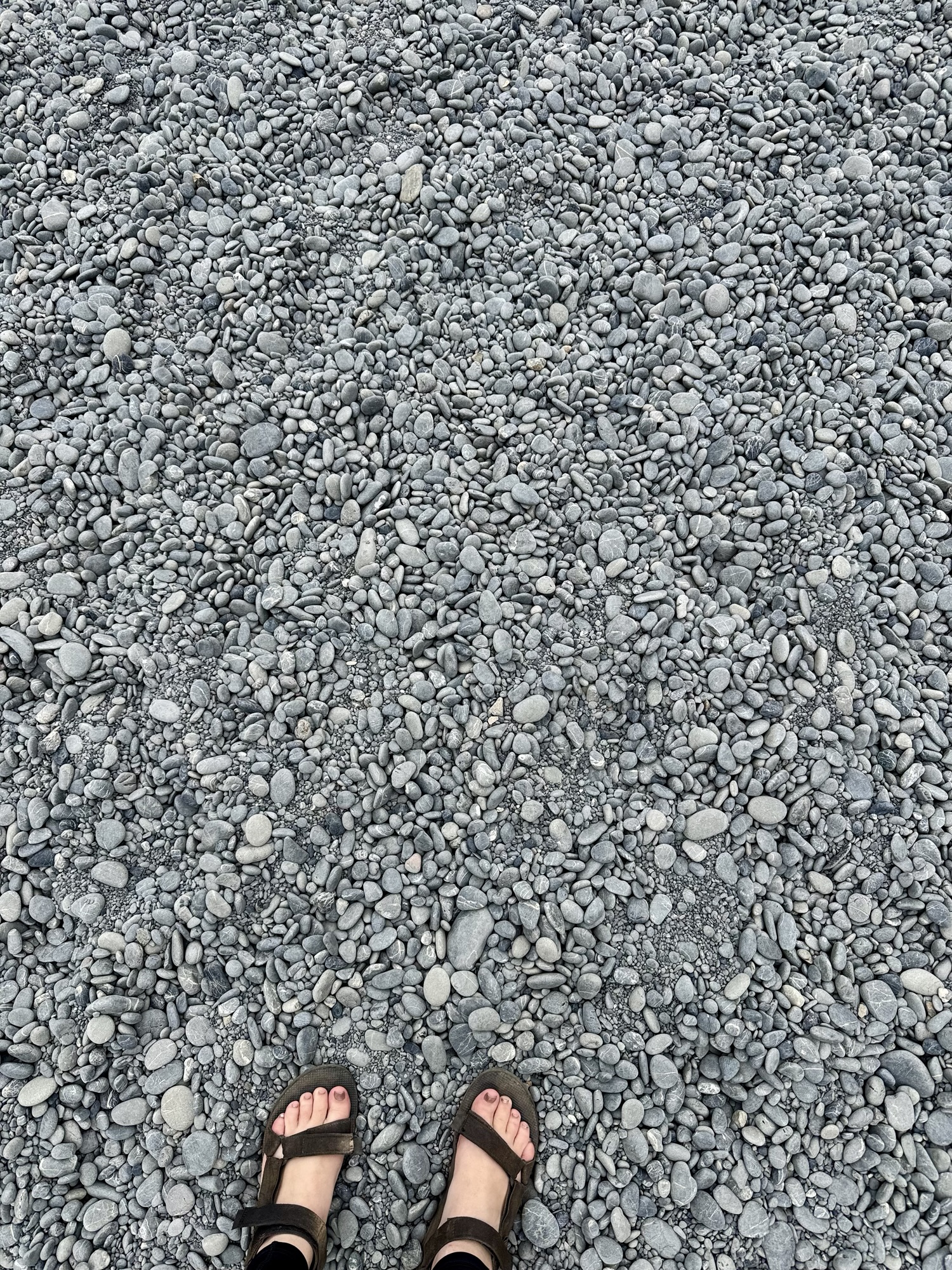
The magic of the Pacific Coast annoys me sometimes. How is it like this? I was so happy to finally make it down the hill to that beach. It was pretty fun to figure out that the ‘black sand’ here is really just bajijllions of perfectly round black rocks.
When the waves pull back, it shuffles all of the rocks around and creates one of *the* most relaxing sounds that I have ever heard in my life. I wish I could bottle it up.


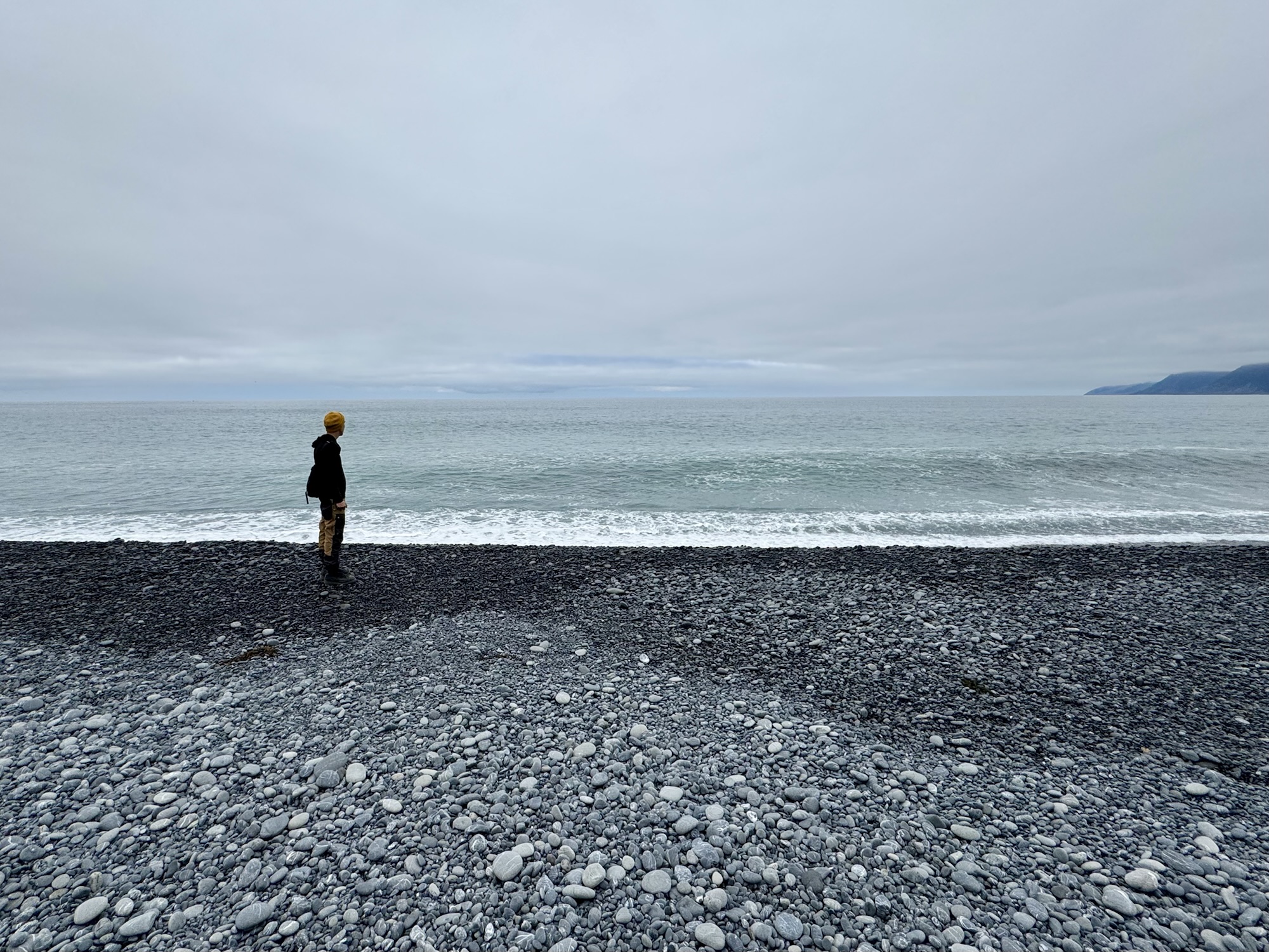


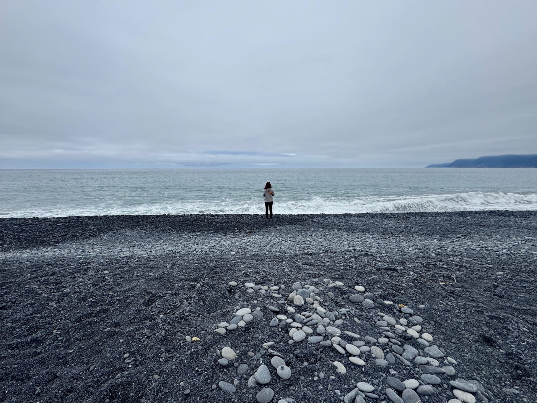
The first thing that happened when we got down to the beach is that I saw the cutest little chihuahua I’ve ever seen. When we made eye contact, I crouched down and they DASHED over to give me so many kisses. My heart. :’)
After that, we were alone for a while just soaking it all in. Someone walking an adorable bull dog came by and asked if he could help us get some photos. When we spoke with him more, we realized his dog was on his trucker hat! Her name is Horchata. Like, what. How precious is that. I seriously regret not getting a pic with them both haha
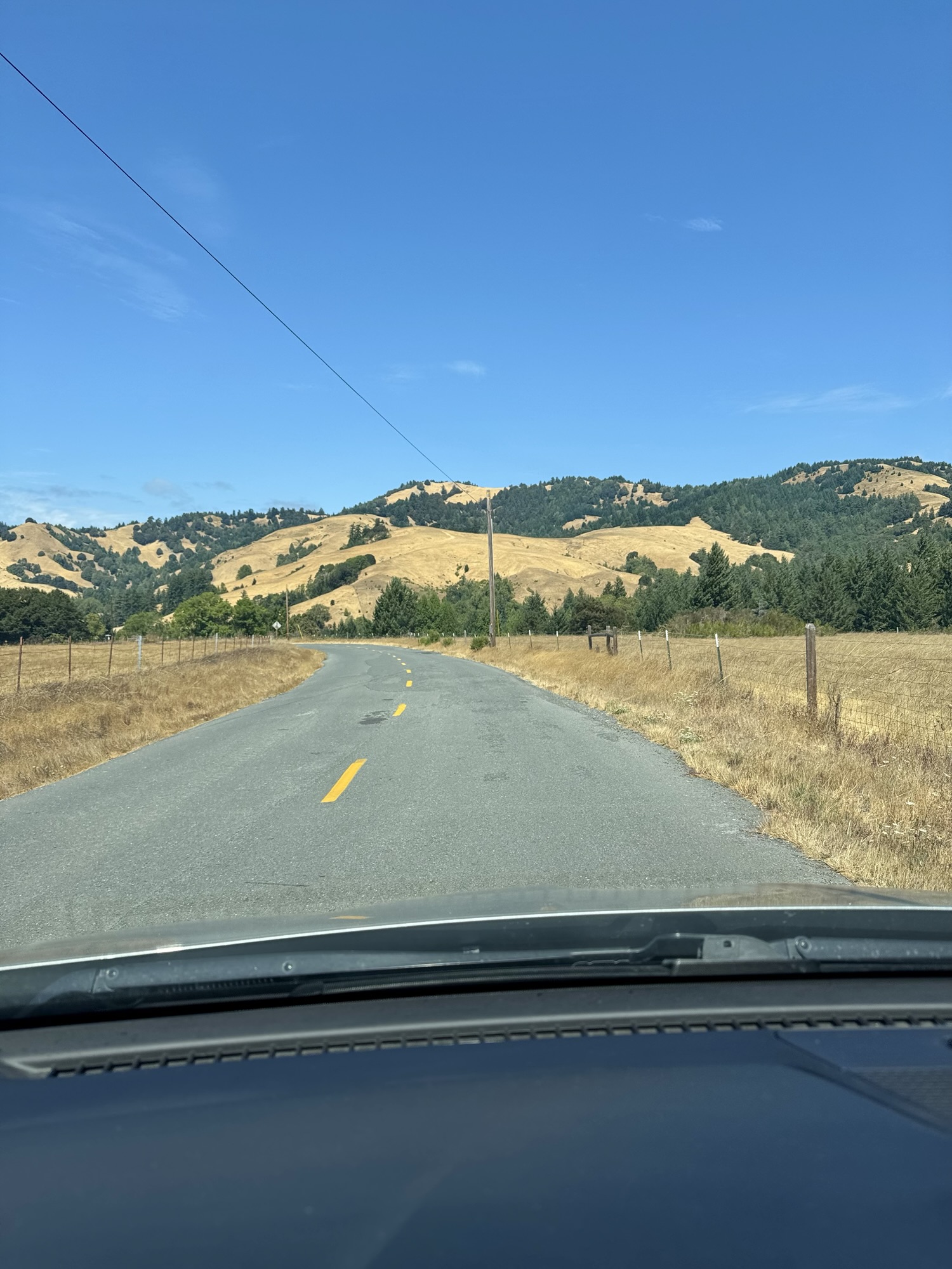
Mattole Road
The way we took after Black Sands Beach was this:
Shelter Cove Road to Briceland Road to Ettersburg Road to Wilder Ridge Road aaand finally through the tiny town of Honeydew to Mattole Road.
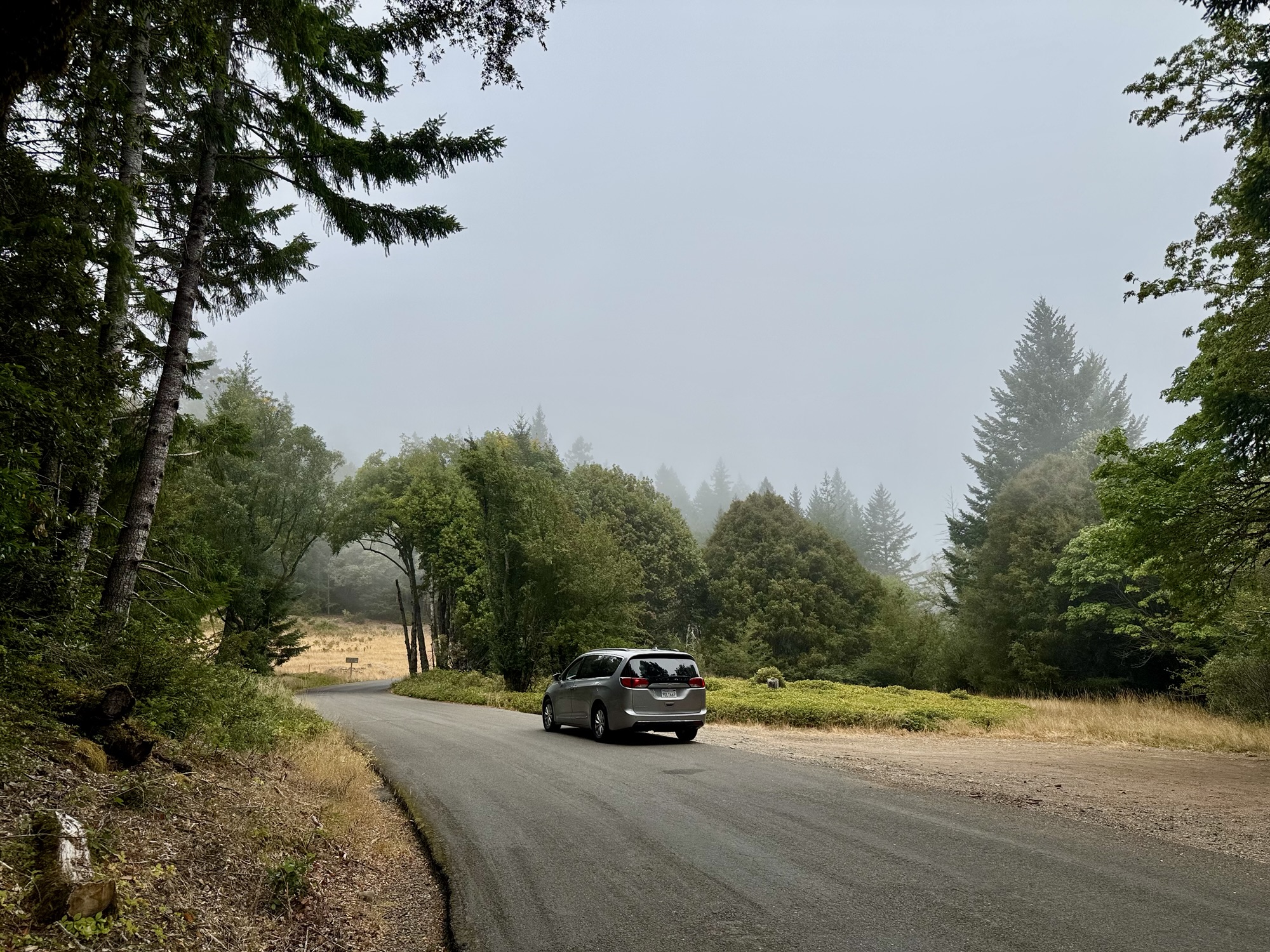
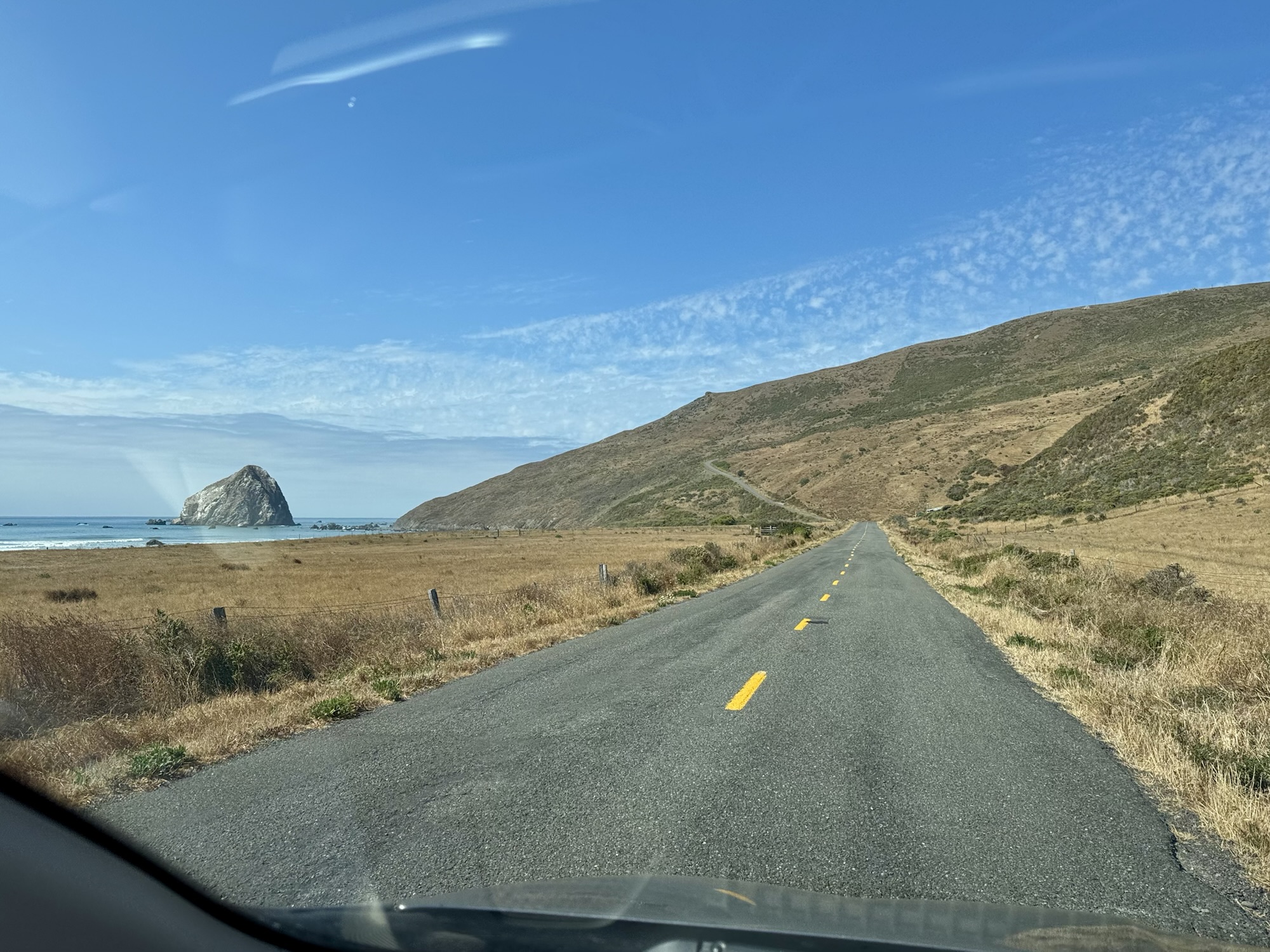
I had no clue how famous Mattole Road is before doing this trip, I just knew that this route was stuck in my head and I reeeeally wanted to see what it was like to travel that black coastline for hours. I didn’t realize how seriously pot-holed, winding, and remote it would be. Should I have done it in a mini van? Probably not. Would I do it again? Yep.

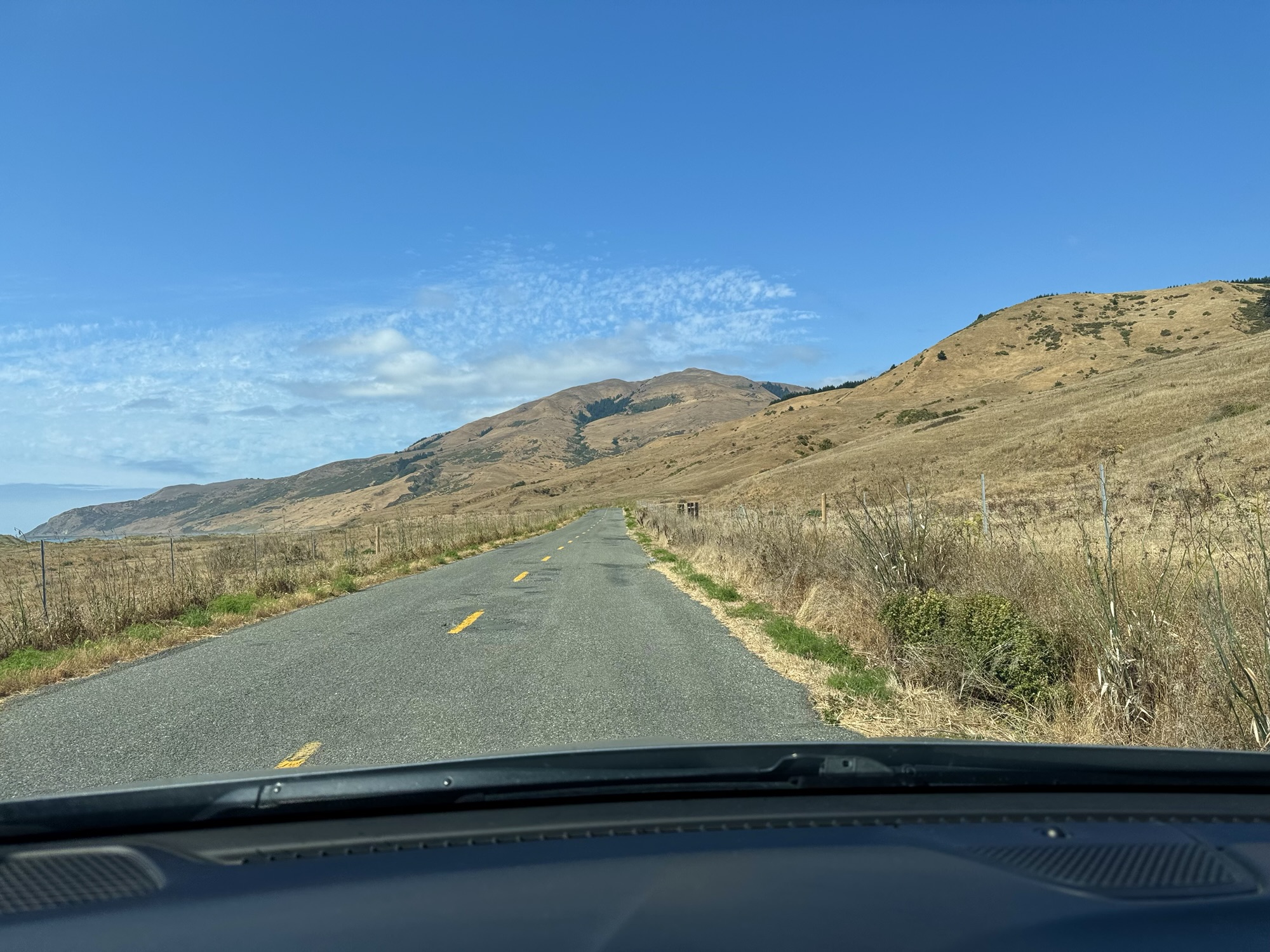
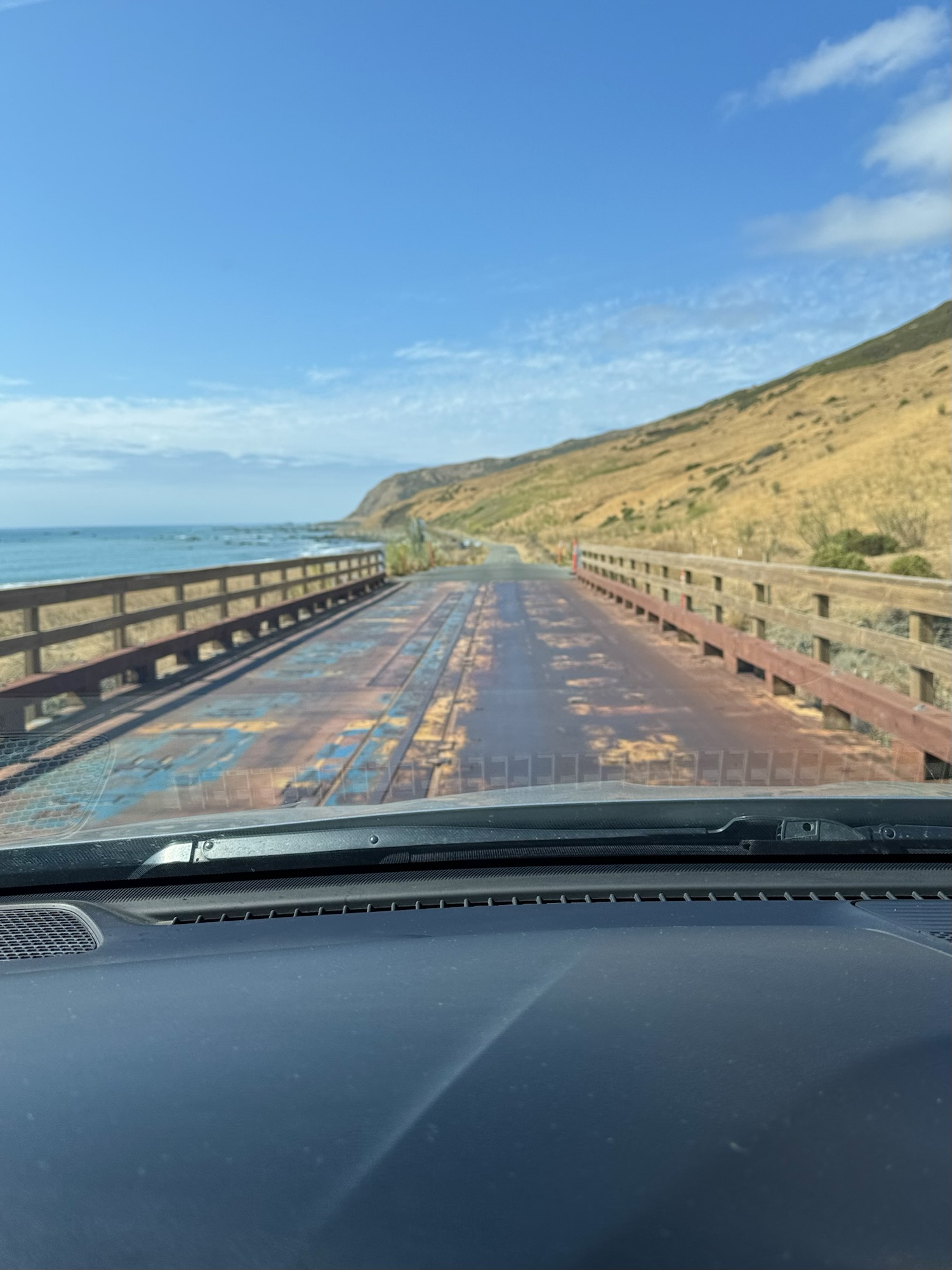

Despite the multiple hours we spent on the drive, we never really got out of the car and I took minimal photos. There were multiple times that an entire side of the road was closed without warning… multiple abandoned vehicles including an RV stuck in a ditch for who knows how long, and sand/rock-covered areas.
No matter which way you’re making this drive, finally making it to the part of Mattole Road where the coastline appears is breathtaking. With our approach from the south, we ended up traveling roads that felt like they were nearly vertical and in the back of my mind I wondered if it was possible for us to start sliding the other way haha.
Mattole Road eventually leads to the town of Petrolia where we stopped to stretch our legs and visit an old pioneer cemetery.
Geocaching in Ferndale
It was a little over an hour to Ferndale where we stopped again to walk around for a little bit. We ended up annoying some cute community cats, admiring a goooorgeous garden that bordered the parking lot, and trying to find this geocache along the bridge.


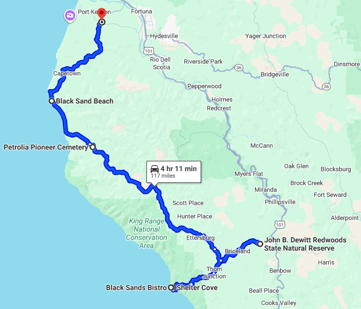
The overall route.
In case you’re curious like I would be, here’s what this portion of the drive mostly looked like. This trek was a pretty brutal one, not gonna lie (but so worth it). I’d love to do it again in a vehicle where I’m not worried to pop a tire haha

About Shelter Cove, California:
https://www.visitredwoods.com/listing/shelter-cove-on-the-lost-coast/138/
Black Sands Bistro:
https://innofthelostcoast.com/food/black-sands-bistro/
https://www.yelp.com/biz/black-sands-bistro-whitethorn
https://www.facebook.com/p/Black-Sands-Bistro-61558052471239/
The Lost Coast Trail (LCT) via AllTrails:
https://www.alltrails.com/trail/us/california/lost-coast-trail-mattole-to-black-sands-beach
The LCT via BLM:
https://www.blm.gov/visit/lost-coast-trail
More about Mattole Road:
https://en.wikipedia.org/wiki/Mattole_Road
https://www.dangerousroads.org/north-america/usa/1055-mattole-road-usa.html
More about the Lost Coast:
https://en.wikipedia.org/wiki/Lost_Coast


Leave a comment